Cohoe (Dena’ina: Qughuhnaz’ut) is a census-designated place (CDP) in Kenai Peninsula Borough, Alaska, United States. At the 2010 census the population was 1,364, up from 1,168 in 2000.
| Name: | Cohoe CDP |
|---|---|
| LSAD Code: | 57 |
| LSAD Description: | CDP (suffix) |
| State: | Alaska |
| County: | Kenai Peninsula Borough |
| Elevation: | 56 ft (17 m) |
| Total Area: | 73.37 sq mi (190.03 km²) |
| Land Area: | 69.91 sq mi (181.06 km²) |
| Water Area: | 3.46 sq mi (8.97 km²) |
| Total Population: | 1,471 |
| Population Density: | 21.04/sq mi (8.12/km²) |
| Area code: | 907 |
| FIPS code: | 0216420 |
| GNISfeature ID: | 1412828 |
Online Interactive Map
Click on ![]() to view map in "full screen" mode.
to view map in "full screen" mode.
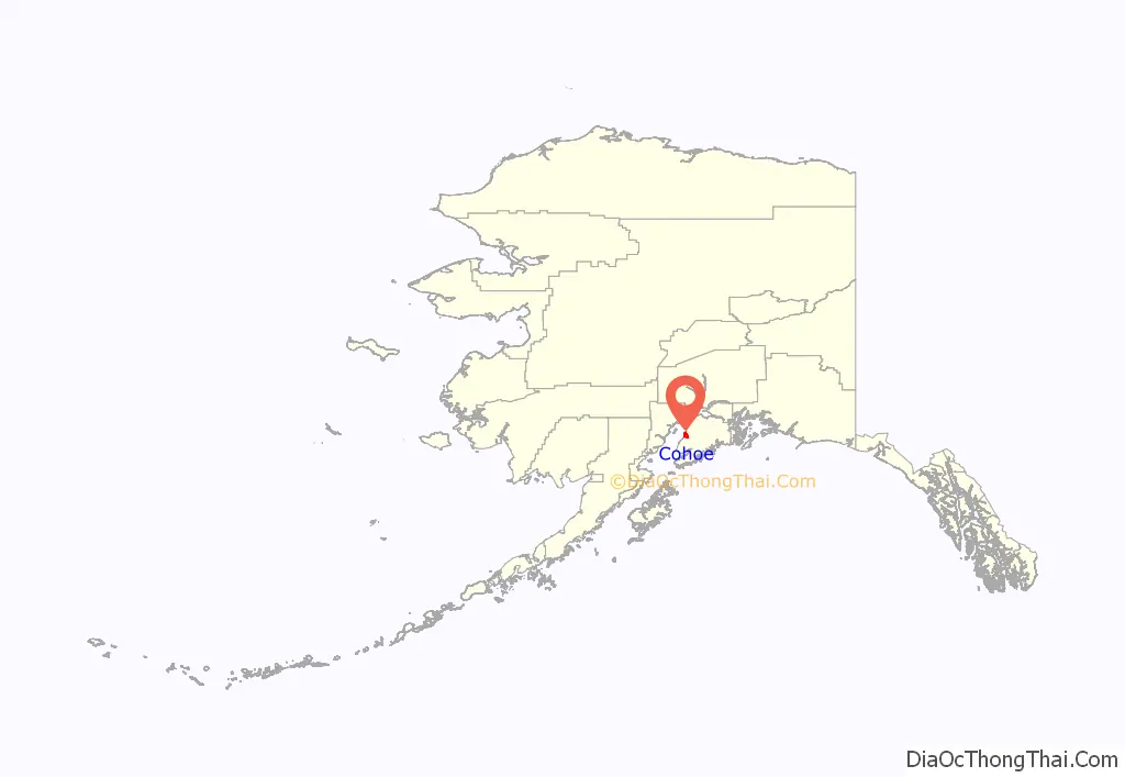
Cohoe location map. Where is Cohoe CDP?
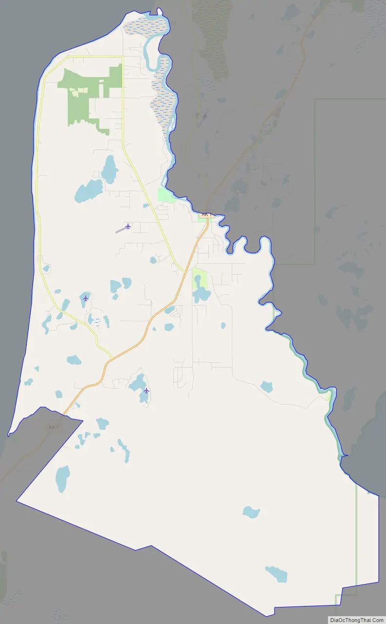
Cohoe Road Map
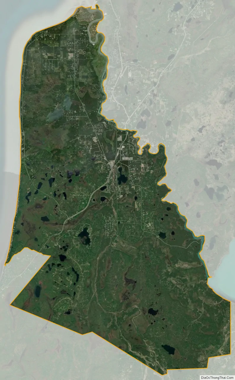
Cohoe city Satellite Map
Geography
Cohoe is located on the western side of the Kenai Peninsula at 60°18′5″N 151°17′45″W / 60.30139°N 151.29583°W / 60.30139; -151.29583 (60.301277, -151.295952). It is bordered to the west by Cook Inlet, to the south by Clam Gulch and Ninilchik, to the east by the outlet of Tustumena Lake, and to the northeast by the Kasilof River and the communities of Kasilof and Kalifornsky.
Alaska Route 1 (Sterling Highway) passes through Cohoe, leading northeast 15 miles (24 km) to Soldotna and south 59 miles (95 km) to Homer.
According to the United States Census Bureau, the CDP has a total area of 73.3 square miles (189.9 km), of which 69.8 square miles (180.9 km) are land and 3.5 square miles (9.0 km), or 4.73%, are water.
See also
Map of Alaska State and its subdivision:- Aleutians East
- Aleutians West
- Anchorage
- Bethel
- Bristol Bay
- Denali
- Dillingham
- Fairbanks North Star
- Haines
- Juneau
- Kenai Peninsula
- Ketchikan Gateway
- Kodiak Island
- Lake and Peninsula
- Matanuska-Susitna
- Nome
- North Slope
- Northwest Arctic
- Prince of Wales-Outer Ketchi
- Sitka
- Skagway-Yakutat-Angoon
- Southeast Fairbanks
- Valdez-Cordova
- Wade Hampton
- Wrangell-Petersburg
- Yukon-Koyukuk
- Alabama
- Alaska
- Arizona
- Arkansas
- California
- Colorado
- Connecticut
- Delaware
- District of Columbia
- Florida
- Georgia
- Hawaii
- Idaho
- Illinois
- Indiana
- Iowa
- Kansas
- Kentucky
- Louisiana
- Maine
- Maryland
- Massachusetts
- Michigan
- Minnesota
- Mississippi
- Missouri
- Montana
- Nebraska
- Nevada
- New Hampshire
- New Jersey
- New Mexico
- New York
- North Carolina
- North Dakota
- Ohio
- Oklahoma
- Oregon
- Pennsylvania
- Rhode Island
- South Carolina
- South Dakota
- Tennessee
- Texas
- Utah
- Vermont
- Virginia
- Washington
- West Virginia
- Wisconsin
- Wyoming


