Eagle Village is a census-designated place (CDP) in Southeast Fairbanks Census Area, Alaska, United States. The population was 67 at the 2010 census.
The village was destroyed in spring 2009 during severe flooding. Ice dams formed on the river, and the waters flooded behind them, destroying much of the old village. There were no fatalities.
The Eagle area has been the historical home to Han people since before the arrival of Europeans in Alaska. 30 people (44%) of Eagle Village population are Native Americans, mostly Han, but also some Gwich’in. Of the total Alaskan Hän population of about 50 people, perhaps 12 speak the language.
Eagle Village was called Johnny’s in the late 19th and early 20th centuries by some people, after its chief at the time, known as John in English.
| Name: | Eagle Village CDP |
|---|---|
| LSAD Code: | 57 |
| LSAD Description: | CDP (suffix) |
| State: | Alaska |
| County: | Southeast Fairbanks Census Area |
| Total Area: | 17.00 sq mi (44.03 km²) |
| Land Area: | 17.00 sq mi (44.03 km²) |
| Water Area: | 0.00 sq mi (0.00 km²) |
| Total Population: | 53 |
| Population Density: | 3.12/sq mi (1.20/km²) |
| Area code: | 907 |
| FIPS code: | 0220600 |
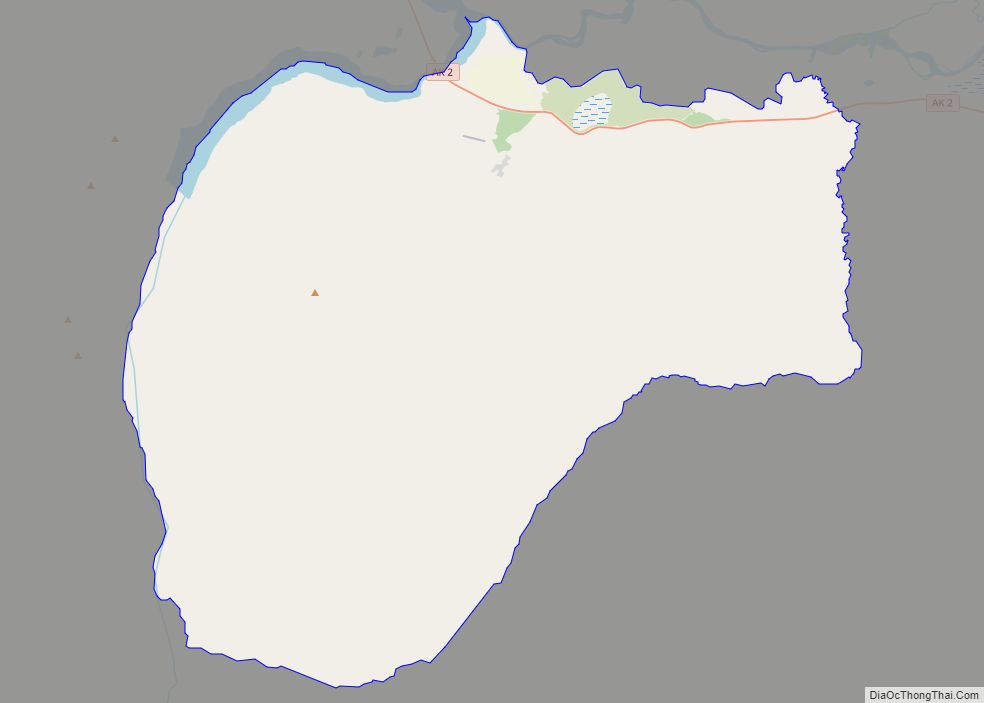
Online Interactive Map
Click on ![]() to view map in "full screen" mode.
to view map in "full screen" mode.
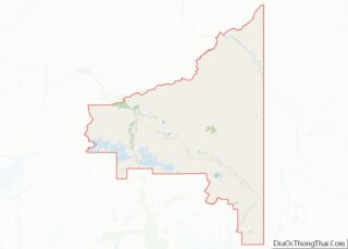
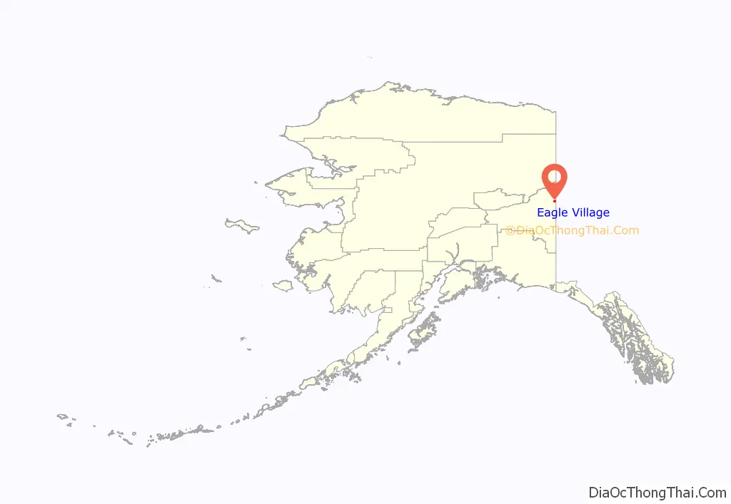
Eagle Village location map. Where is Eagle Village CDP?
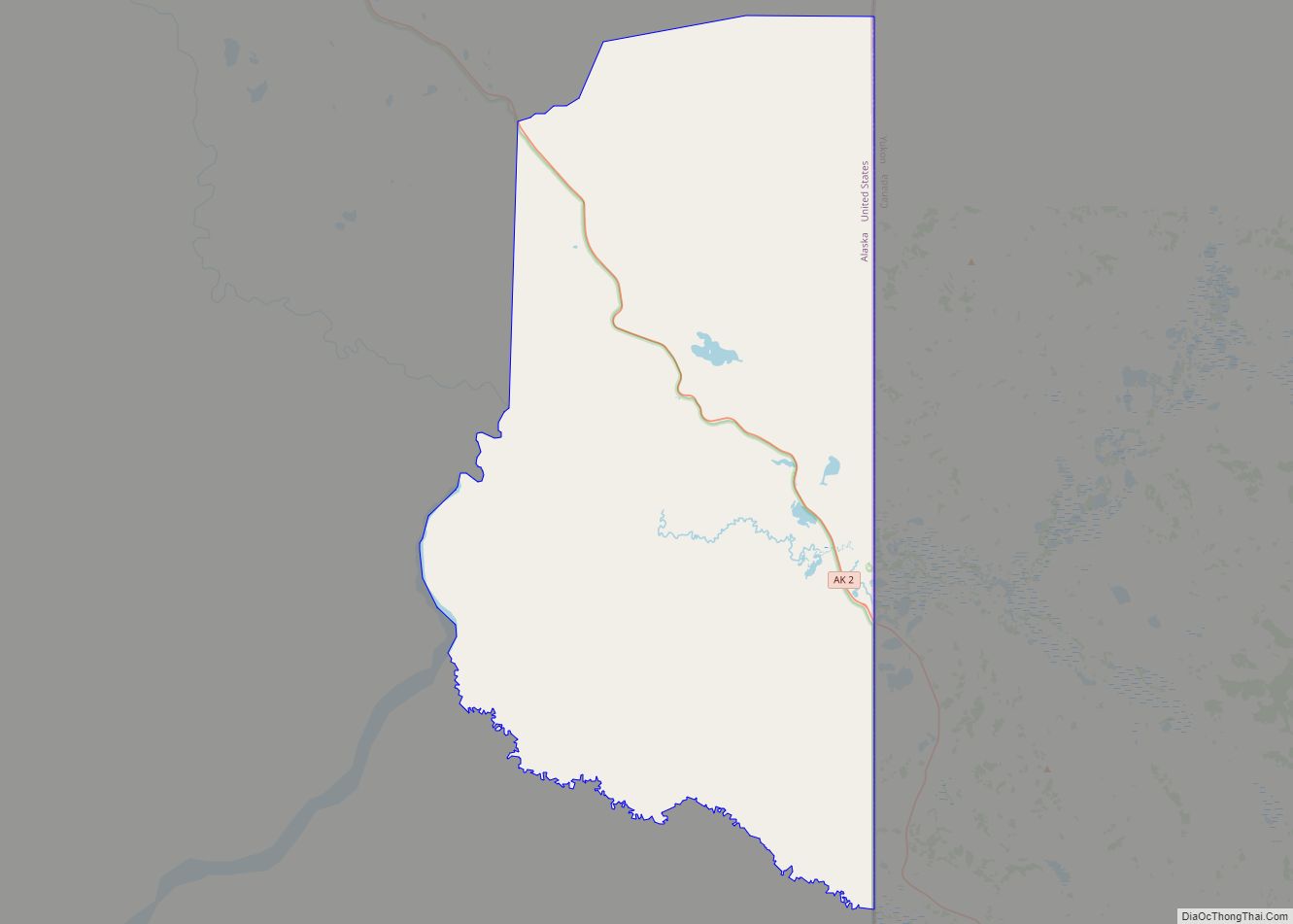
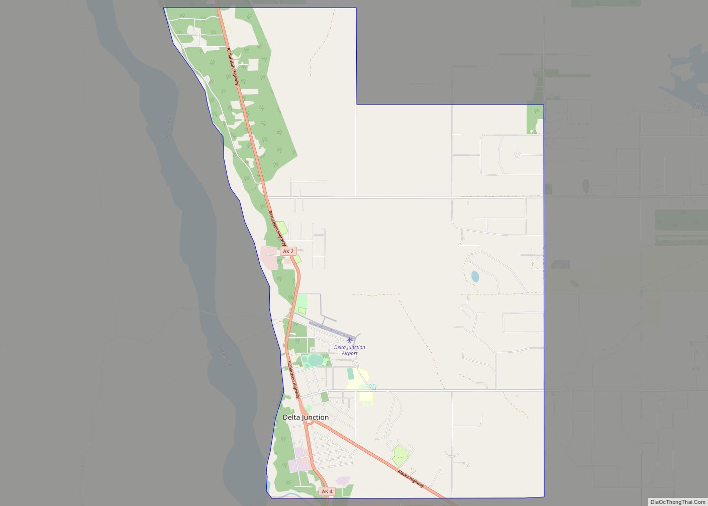
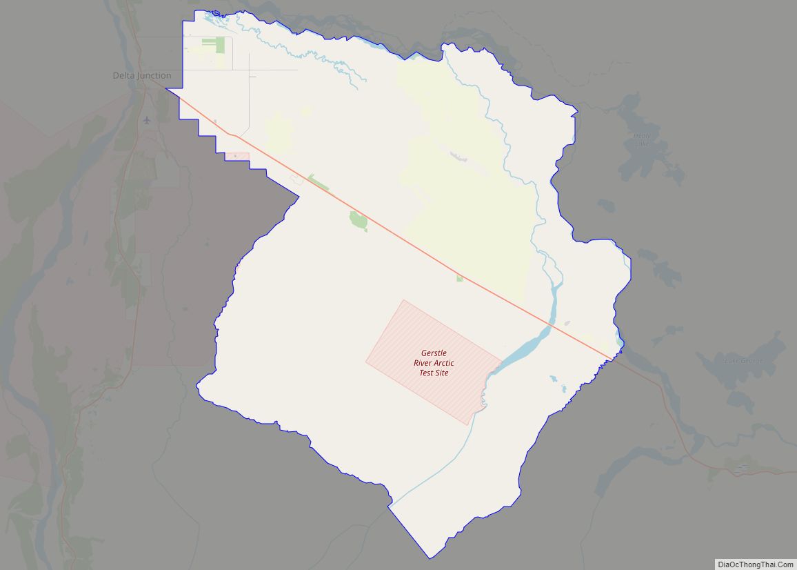
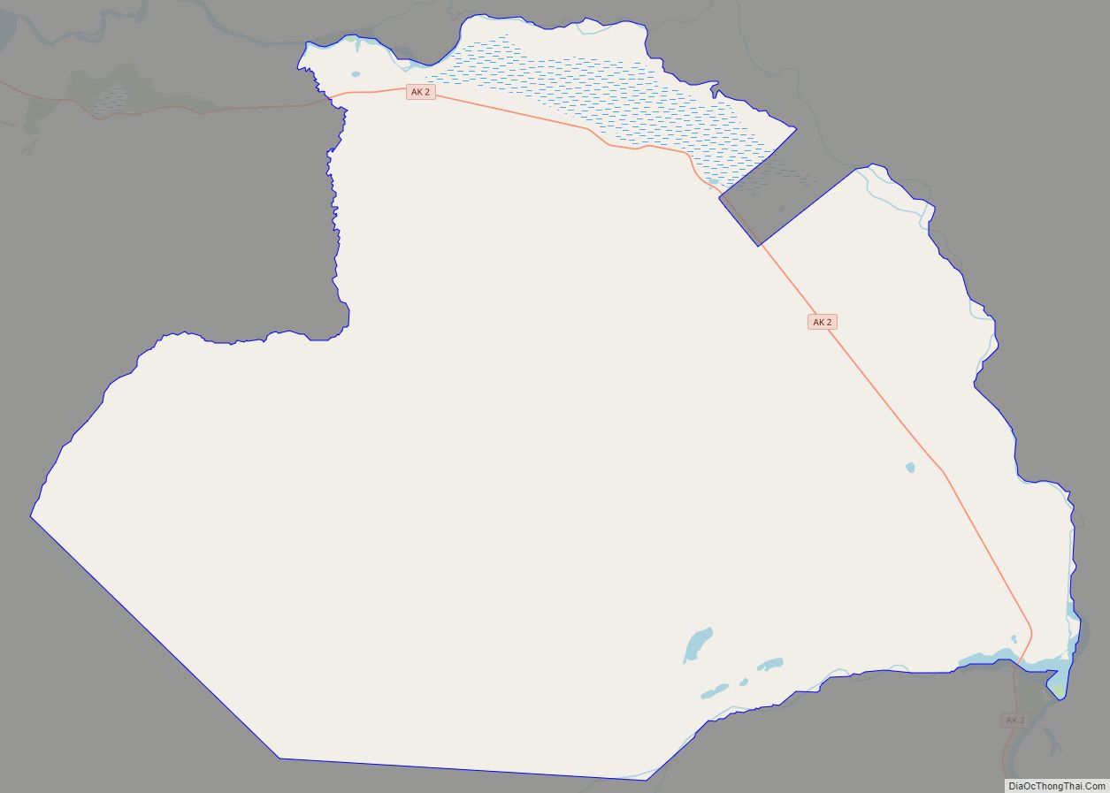
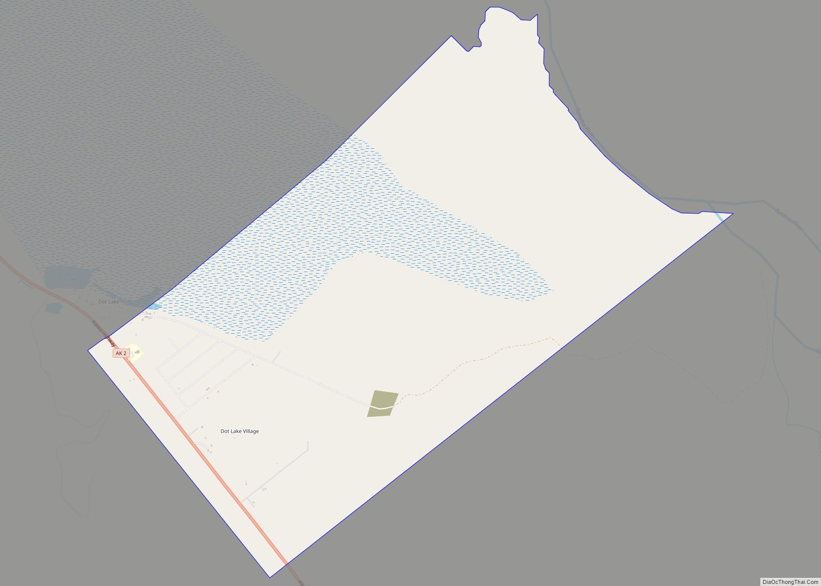
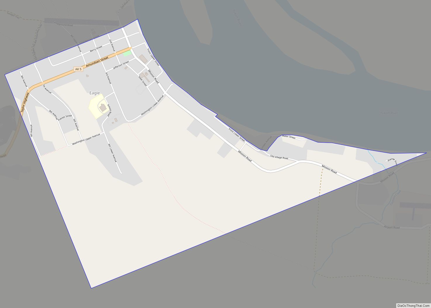
Eagle Village Road Map
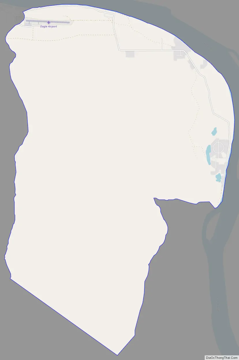
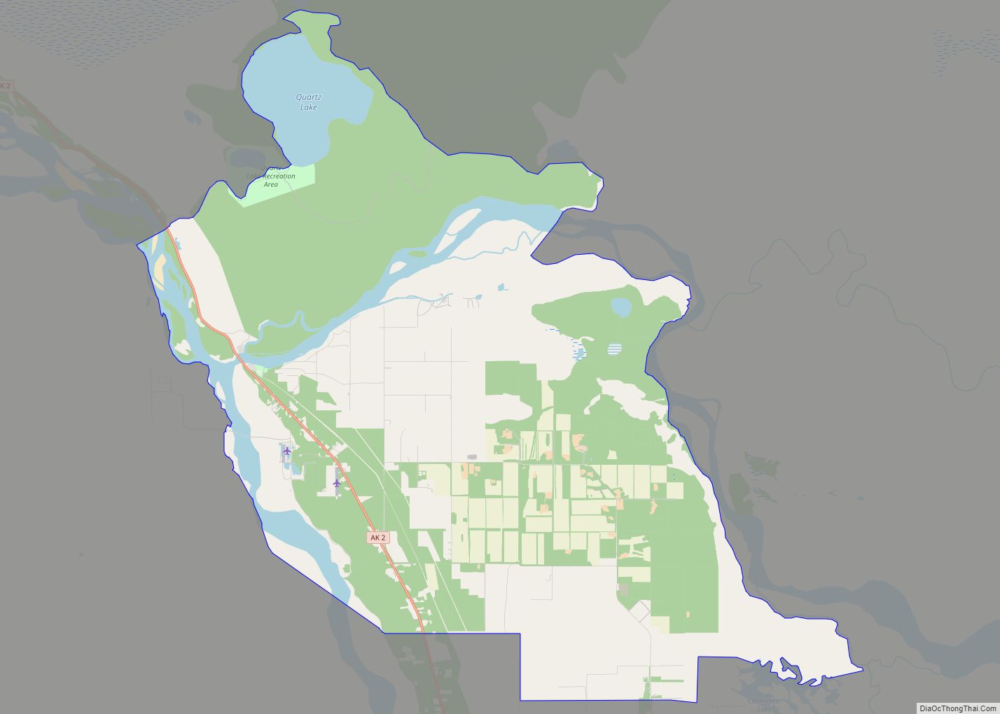
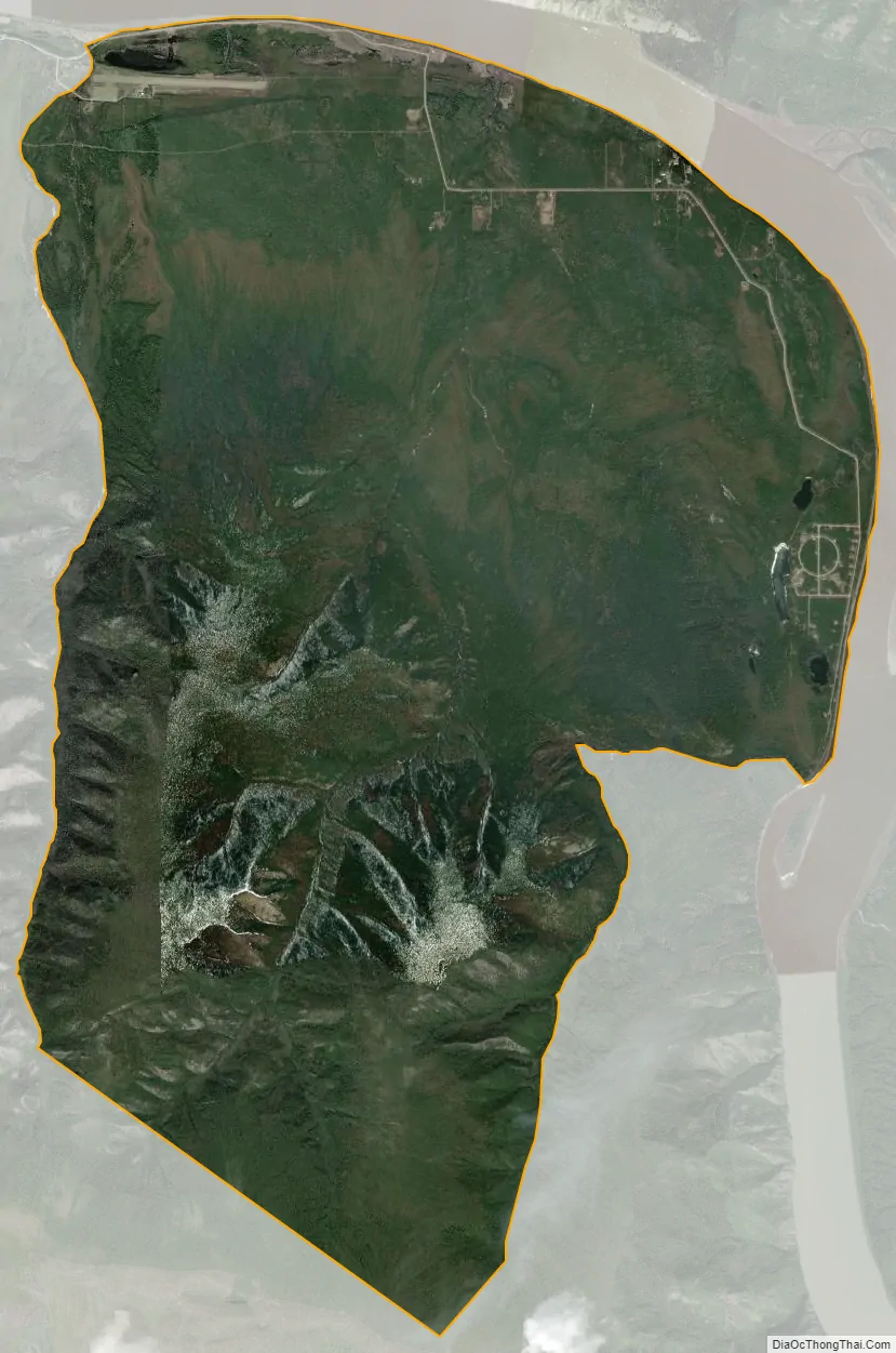
Eagle Village city Satellite Map
Geography
Eagle Village is located at 64°46′53″N 141°6′53″W / 64.78139°N 141.11472°W / 64.78139; -141.11472 (64.781324, -141.114728) at the end of the Taylor Highway, next to Eagle on the Yukon River, in a straight line about 3.4 miles (5.5 km) west of the border between Alaska and the Yukon Territory of Canada at the 141st meridian west.
According to the United States Census Bureau, the CDP has a total area of 19.1 square miles (49 km), all of it land.
See also
Map of Alaska State and its subdivision:- Aleutians East
- Aleutians West
- Anchorage
- Bethel
- Bristol Bay
- Denali
- Dillingham
- Fairbanks North Star
- Haines
- Juneau
- Kenai Peninsula
- Ketchikan Gateway
- Kodiak Island
- Lake and Peninsula
- Matanuska-Susitna
- Nome
- North Slope
- Northwest Arctic
- Prince of Wales-Outer Ketchi
- Sitka
- Skagway-Yakutat-Angoon
- Southeast Fairbanks
- Valdez-Cordova
- Wade Hampton
- Wrangell-Petersburg
- Yukon-Koyukuk
- Alabama
- Alaska
- Arizona
- Arkansas
- California
- Colorado
- Connecticut
- Delaware
- District of Columbia
- Florida
- Georgia
- Hawaii
- Idaho
- Illinois
- Indiana
- Iowa
- Kansas
- Kentucky
- Louisiana
- Maine
- Maryland
- Massachusetts
- Michigan
- Minnesota
- Mississippi
- Missouri
- Montana
- Nebraska
- Nevada
- New Hampshire
- New Jersey
- New Mexico
- New York
- North Carolina
- North Dakota
- Ohio
- Oklahoma
- Oregon
- Pennsylvania
- Rhode Island
- South Carolina
- South Dakota
- Tennessee
- Texas
- Utah
- Vermont
- Virginia
- Washington
- West Virginia
- Wisconsin
- Wyoming