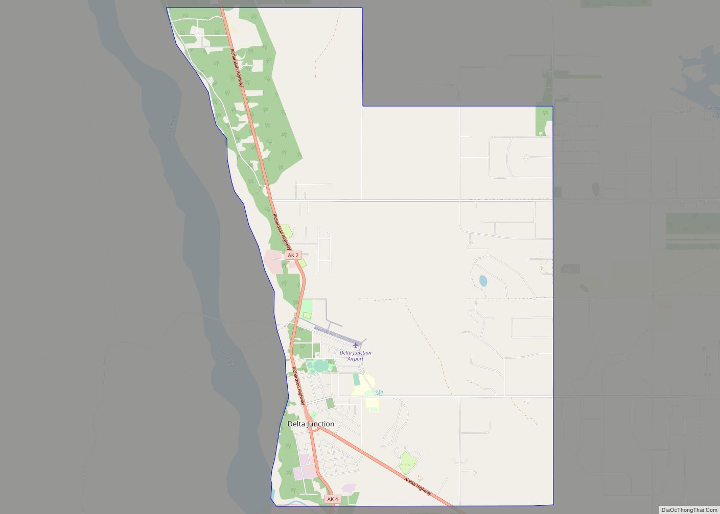
Fort Greely is a census-designated place (CDP) in Southeast Fairbanks Census Area, Alaska, United States. It is home to the Fort Greely military installation. At the 2010 census the population was 539, up from 461 in 2000.
| Name: | Fort Greely CDP |
|---|---|
| LSAD Code: | 57 |
| LSAD Description: | CDP (suffix) |
| State: | Alaska |
| County: | Southeast Fairbanks Census Area |
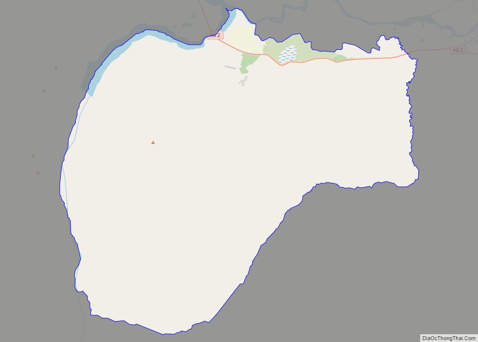
| Total Area: | 11.03 sq mi (28.56 km²) |
| Land Area: | 11.03 sq mi (28.56 km²) |
| Water Area: | 0.00 sq mi (0.00 km²) |
| Total Population: | 458 |
| Population Density: | 28.02/sq mi (10.82/km²) |
| ZIP code: | 99731 |
| Area code: | 907 |
| FIPS code: | 0226100 |
| Website: | www.greely.army.mil |
Online Interactive Map
Click on ![]() to view map in "full screen" mode.
to view map in "full screen" mode.
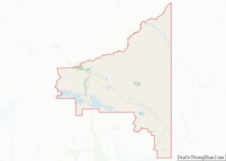
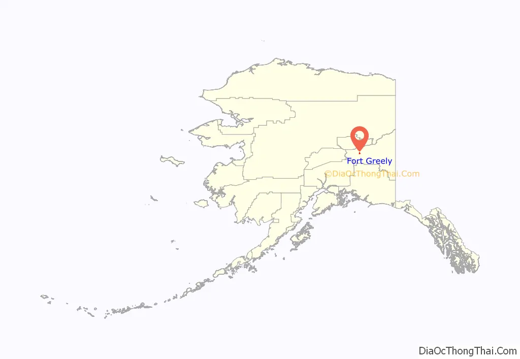
Fort Greely location map. Where is Fort Greely CDP?
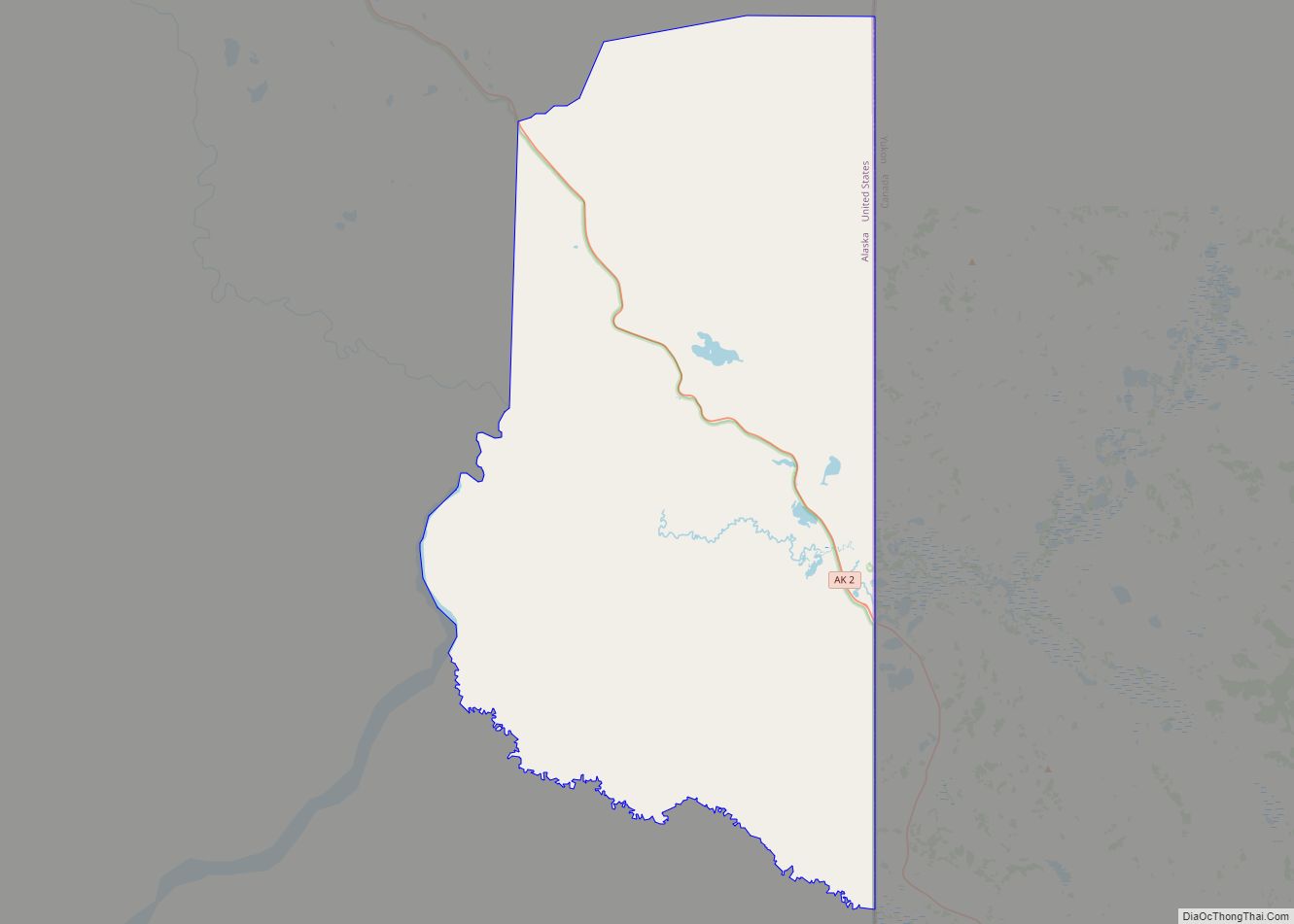
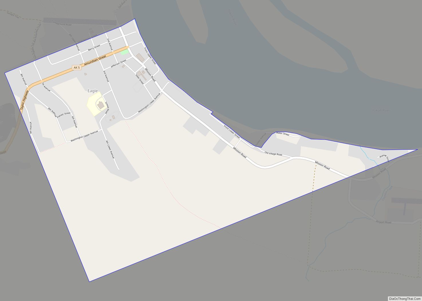
Fort Greely Road Map
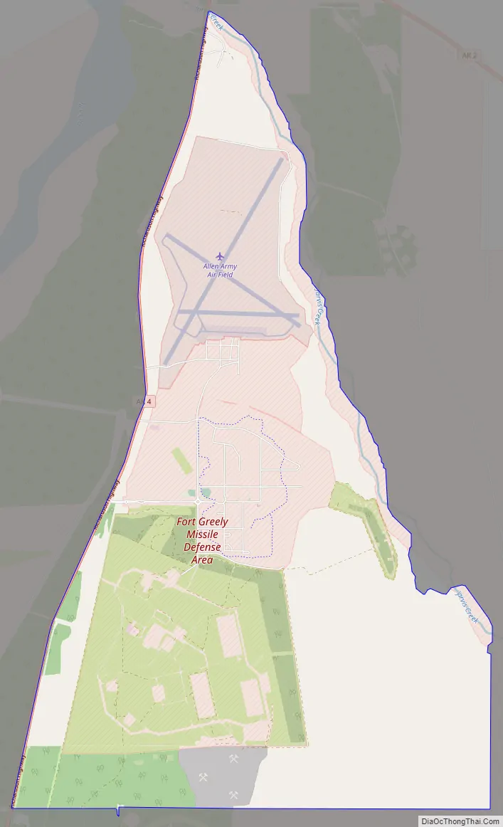
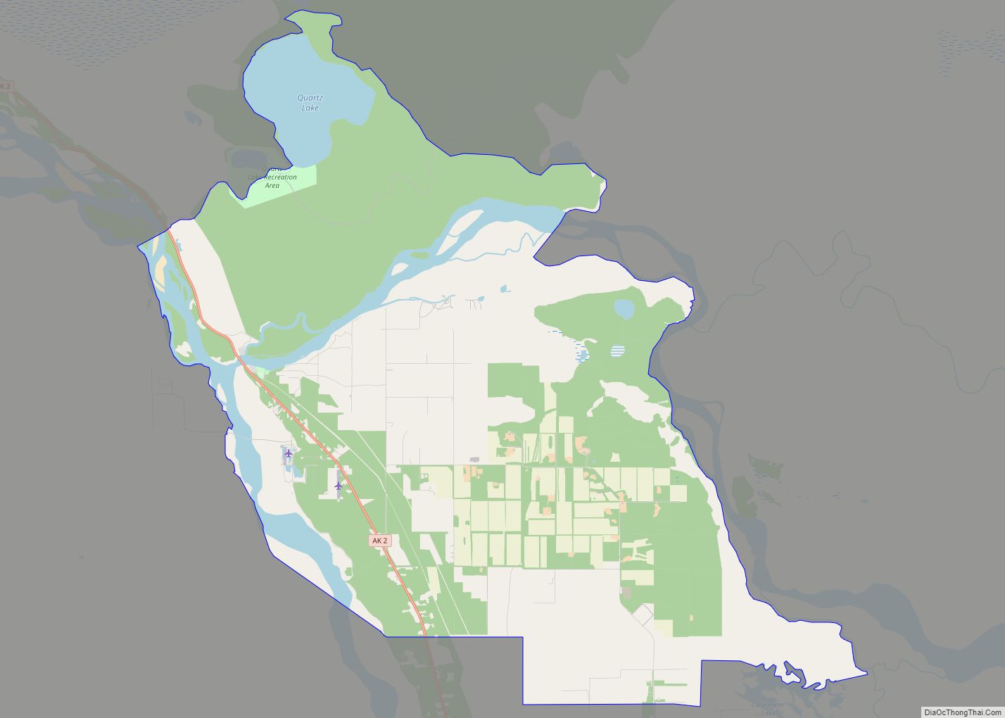
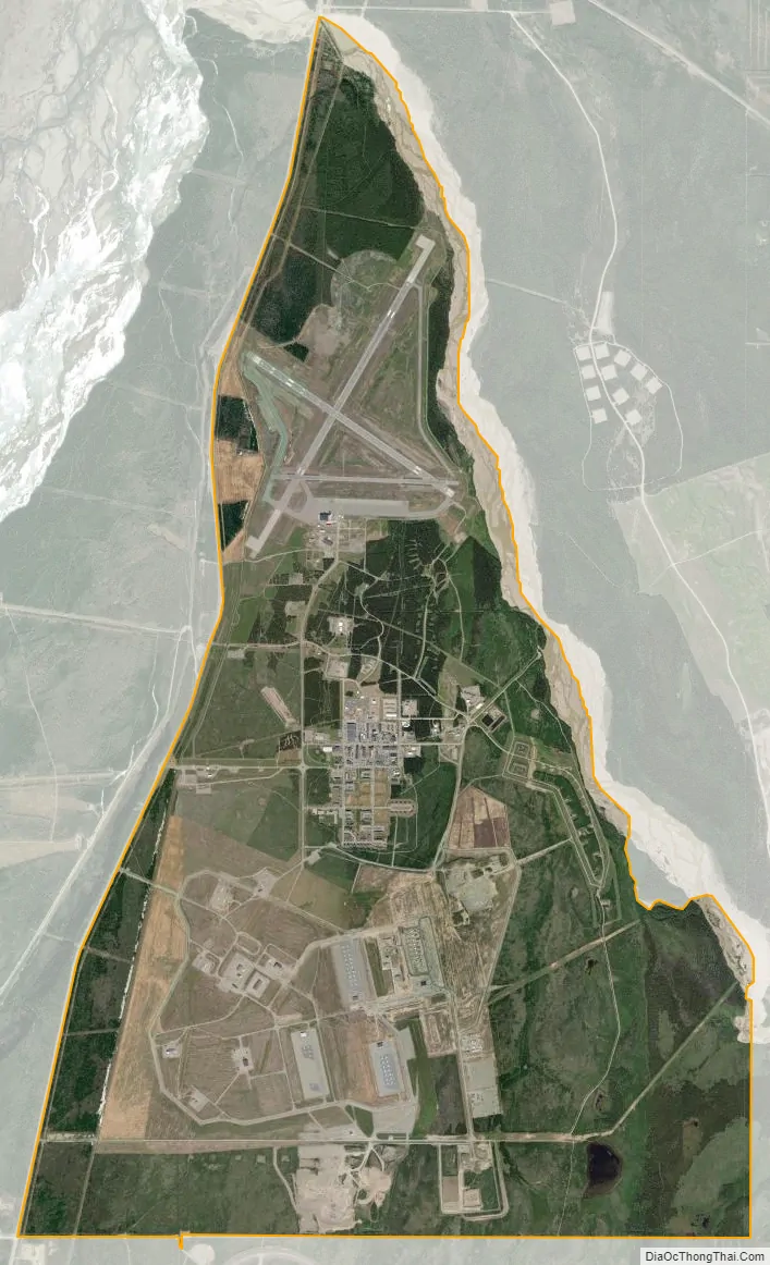
Fort Greely city Satellite Map
Geography
Fort Greely is located at 63°58′2″N 145°42′33″W / 63.96722°N 145.70917°W / 63.96722; -145.70917 (63.905016, -145.554566). Fort Greely is located 5 miles (8.0 km) south of Delta Junction on the Richardson Highway. According to the United States Census Bureau, the CDP has a total area of 169.7 square miles (440 km). 169.4 square miles (439 km) of it is land and 0.4 square miles (1.0 km) of it (0.21%) is water.
Army Nuclear Power Program
Because of its remote location, Fort Greely was chosen as one of the first US military posts to have a compact, nuclear power reactor to generate heat and electricity, under the auspices of the Army Nuclear Power Program. A nuclear power plant, designated the SM-1A was flown in and installed between 1960–62, and was based on the Army’s first prototype reactor, the SM-1 at Fort Belvoir, Virginia. SM-1A pressurized-water reactor reached initial criticality on 13 March 1962, and was shut down in 1972: the reactor core was removed and sent to the Savannah River nuclear site.
See also
Map of Alaska State and its subdivision:- Aleutians East
- Aleutians West
- Anchorage
- Bethel
- Bristol Bay
- Denali
- Dillingham
- Fairbanks North Star
- Haines
- Juneau
- Kenai Peninsula
- Ketchikan Gateway
- Kodiak Island
- Lake and Peninsula
- Matanuska-Susitna
- Nome
- North Slope
- Northwest Arctic
- Prince of Wales-Outer Ketchi
- Sitka
- Skagway-Yakutat-Angoon
- Southeast Fairbanks
- Valdez-Cordova
- Wade Hampton
- Wrangell-Petersburg
- Yukon-Koyukuk
- Alabama
- Alaska
- Arizona
- Arkansas
- California
- Colorado
- Connecticut
- Delaware
- District of Columbia
- Florida
- Georgia
- Hawaii
- Idaho
- Illinois
- Indiana
- Iowa
- Kansas
- Kentucky
- Louisiana
- Maine
- Maryland
- Massachusetts
- Michigan
- Minnesota
- Mississippi
- Missouri
- Montana
- Nebraska
- Nevada
- New Hampshire
- New Jersey
- New Mexico
- New York
- North Carolina
- North Dakota
- Ohio
- Oklahoma
- Oregon
- Pennsylvania
- Rhode Island
- South Carolina
- South Dakota
- Tennessee
- Texas
- Utah
- Vermont
- Virginia
- Washington
- West Virginia
- Wisconsin
- Wyoming