Ninilchik (Russian: Нинильчик) (Dena’ina: Niqnalchint) is a census-designated place (CDP) in Kenai Peninsula Borough, Alaska, United States. At the 2010 census the population was 883, up from 772 in 2000.
It is considered an Alaska Native village under the Alaska Native Claims Settlement Act. In the 1970s, villagers formed the Ninilchik Native Association Incorporated. Later the Ninilchik Traditional Council (NTC) was established as the government of Alaska Natives in this area.
The Alaska Native people of Ninilchik have ancestors of Aleut and Alutiiq (Sugpiaq) descent, as well as some Dena’ina. Many also include Russian ancestors, from a couple of men who settled here with their Alutiiq wives and children in 1847, and later migrants. Russian was widely spoken in the village for years. Due to the community’s isolation, this Russian dialect continued much in its mid-19th century form. With some surviving speakers, it has been studied in the 21st century.
| Name: | Ninilchik CDP |
|---|---|
| LSAD Code: | 57 |
| LSAD Description: | CDP (suffix) |
| State: | Alaska |
| County: | Kenai Peninsula Borough |
| Elevation: | 50 ft (20 m) |
| Total Area: | 207.27 sq mi (536.84 km²) |
| Land Area: | 207.25 sq mi (536.76 km²) |
| Water Area: | 0.03 sq mi (0.07 km²) |
| Total Population: | 845 |
| Population Density: | 4.08/sq mi (1.57/km²) |
| ZIP code: | 99639 |
| Area code: | 907 |
| FIPS code: | 0254480 |
Online Interactive Map
Click on ![]() to view map in "full screen" mode.
to view map in "full screen" mode.
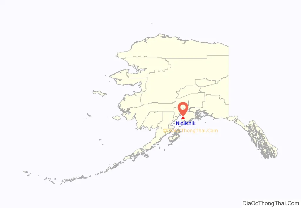
Ninilchik location map. Where is Ninilchik CDP?
History
Before the arrival of Europeans in Alaska, Ninilchik was a Dena’ina Athabaskan lodging area used for hunting and fishing. The name Ninilchik probably derives from Niqnilchint, a Deni’ana Athabaskan word meaning “lodge is built place”.
The first Europeans who permanently settled in the village were Russian colonists who moved there from Kodiak Island in 1847, two decades before the Alaska Purchase in 1867 by the United States. They were Russian Grigorii Kvasnikov (anglicized to Kvasnikoff), his Russian-Alutiiq wife Mavra Rastorguev (daughter of Agrafena Petrovna of Afognak), and their children. They were soon joined by the Oskolkoff family, also headed by a Russian man and Alutiiq woman. These were the core families, and their descendants, who often married Alutiiq, made up most of the village.
Their dialect of Russian as spoken in the mid-1800s (plus a few words borrowed from Alaska Native languages) became the primary language spoken in Ninilchik, and it survived in that form long past the 1867 Alaska Purchase. A few speakers of the Ninilchik Russian dialect were still alive in 2013. Russian and American linguists are documenting and cataloging this isolated dialect.
The 1880 United States Census listed 53 “Creoles” living in Ninilchik in nine extended families. All nine old families of Ninilchik are descendants of the original Kvasnikoff and Oskolkoff families, with numerous marriages to Alaska Natives, primarily Alutiiq.
In 1896, a school was built and staffed by Russian Orthodox priests and laymen. Russian Orthodox priests were respected by Alaska Natives because in several areas of southwest Alaska, they had learned indigenous languages and held religious services in those languages. In 1901, the local Russian Orthodox Church was redesigned and constructed at its current site. In 1911 the first school sanctioned by the U.S. government was started, known as the Ninilchik School. In 2011 the community celebrated the 100th anniversary of the school.
In the 1940s, a number of American homesteaders began to live in the area. In 1949, Berman Packing Company began fish canning operations at Ninilchik. In 1950, the Sterling Highway was completed through the town.
Caribou Hills fire
A 2007 fire that burned near Ninilchik, known as the Caribou Hills fire, moved toward the town. At its peak threatened approximately 300 structures. It eventually burned nearly 60,000 acres (240 km) and destroyed 197 structures.
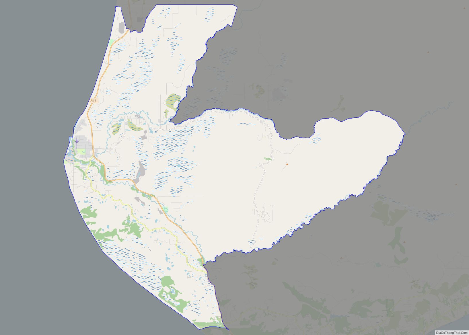
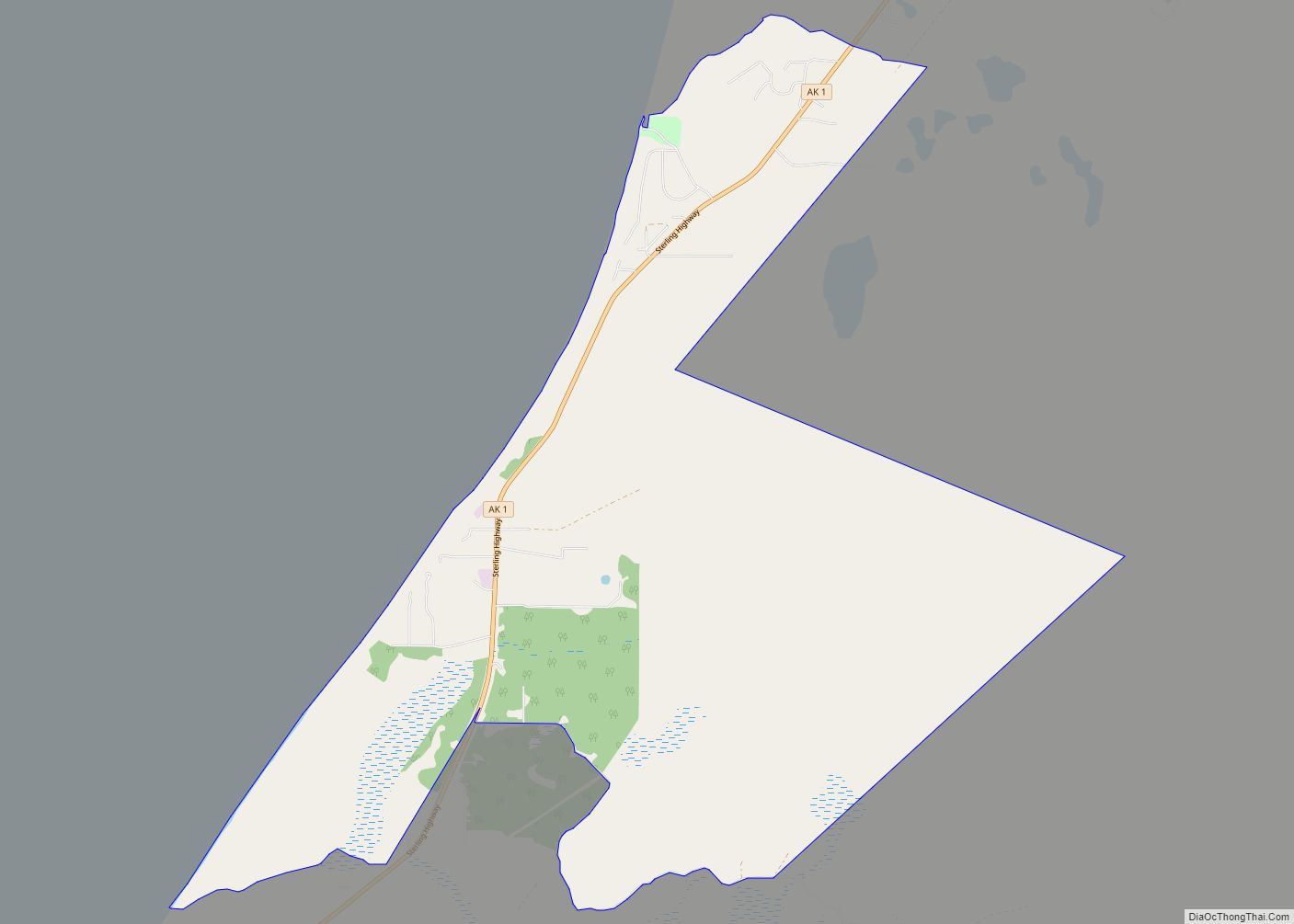
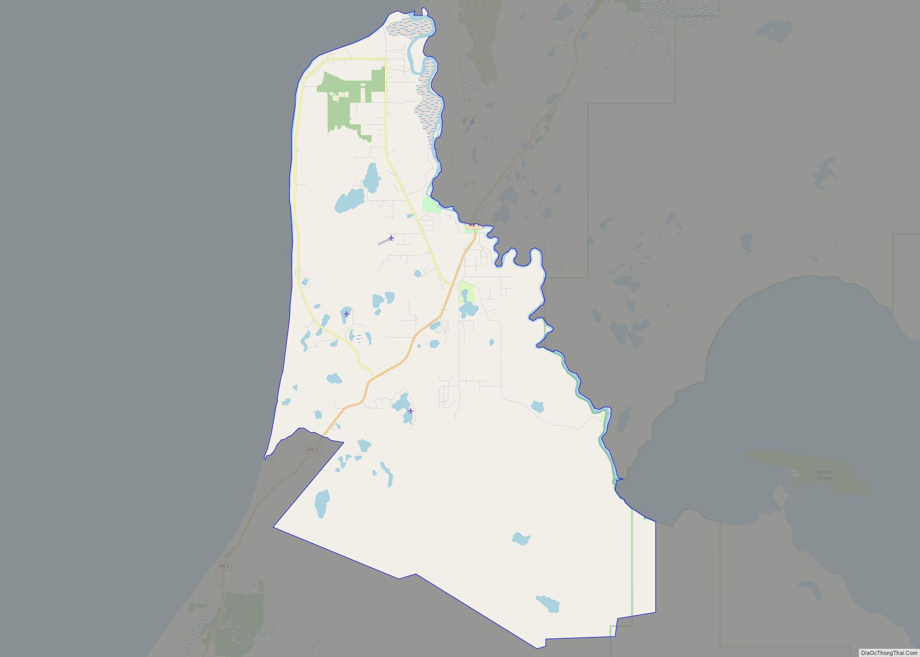
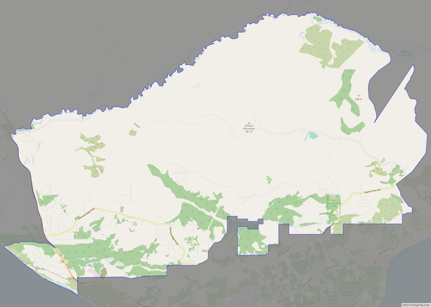
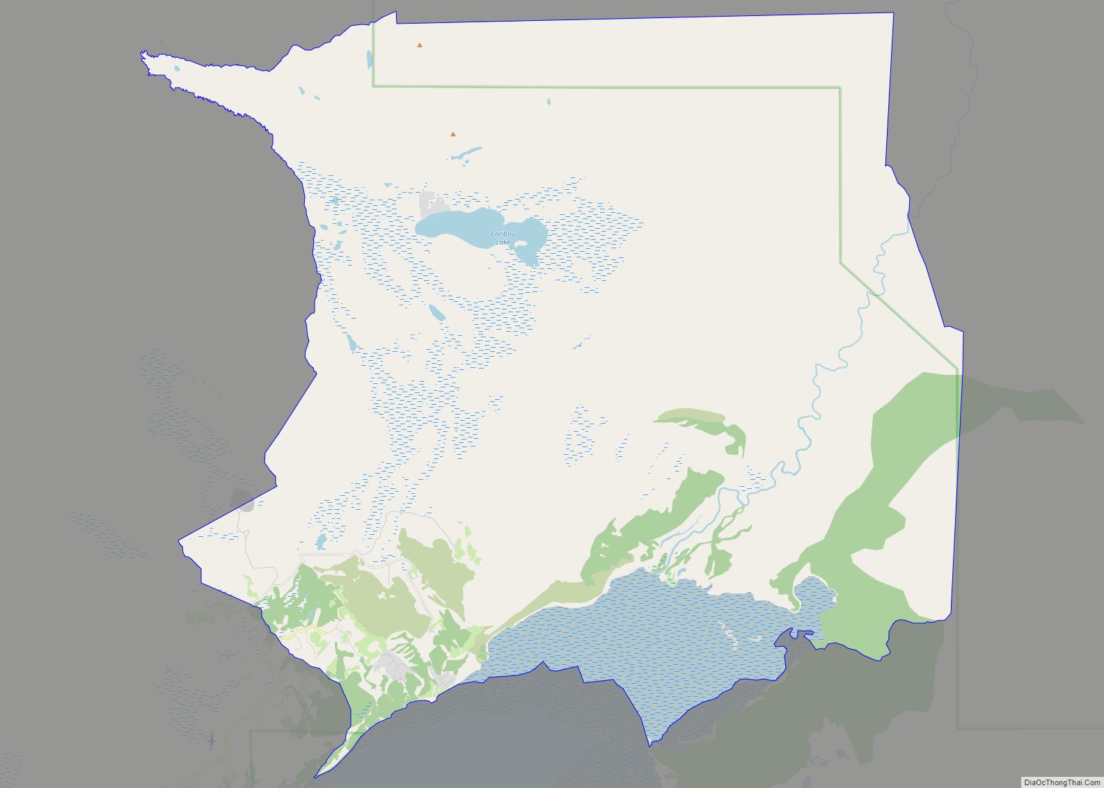
Ninilchik Road Map
Ninilchik city Satellite Map
Geography
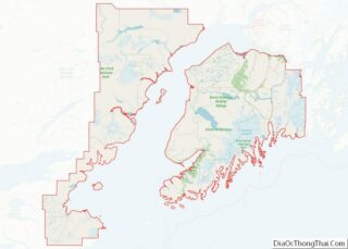
Ninilchik is on the west side of the Kenai Peninsula on the coast of Cook Inlet, 38 miles (61 km) by air southwest of Kenai, and 100 miles (160 km) southwest of Anchorage. Road access is by the Sterling Highway. By actual road miles it is a distance of 188 miles (303 km) from Anchorage and 44 miles (71 km) from Homer.
According to the United States Census Bureau, the CDP has a total area of 207.2 square miles (536.7 km), of which 0.03 square miles (0.07 km), or 0.01%, are water.
Climate
Ninilchik has a continental subarctic climate (Köppen Dsc).
See also
Map of Alaska State and its subdivision:- Aleutians East
- Aleutians West
- Anchorage
- Bethel
- Bristol Bay
- Denali
- Dillingham
- Fairbanks North Star
- Haines
- Juneau
- Kenai Peninsula
- Ketchikan Gateway
- Kodiak Island
- Lake and Peninsula
- Matanuska-Susitna
- Nome
- North Slope
- Northwest Arctic
- Prince of Wales-Outer Ketchi
- Sitka
- Skagway-Yakutat-Angoon
- Southeast Fairbanks
- Valdez-Cordova
- Wade Hampton
- Wrangell-Petersburg
- Yukon-Koyukuk
- Alabama
- Alaska
- Arizona
- Arkansas
- California
- Colorado
- Connecticut
- Delaware
- District of Columbia
- Florida
- Georgia
- Hawaii
- Idaho
- Illinois
- Indiana
- Iowa
- Kansas
- Kentucky
- Louisiana
- Maine
- Maryland
- Massachusetts
- Michigan
- Minnesota
- Mississippi
- Missouri
- Montana
- Nebraska
- Nevada
- New Hampshire
- New Jersey
- New Mexico
- New York
- North Carolina
- North Dakota
- Ohio
- Oklahoma
- Oregon
- Pennsylvania
- Rhode Island
- South Carolina
- South Dakota
- Tennessee
- Texas
- Utah
- Vermont
- Virginia
- Washington
- West Virginia
- Wisconsin
- Wyoming
