Sterling is a census-designated place (CDP) in Kenai Peninsula Borough, Alaska, United States. At the 2020 census the population was 5,918, up from 5,617 in 2010. Sterling is the tenth-most populated CDP in Alaska.
| Name: | Sterling CDP |
|---|---|
| LSAD Code: | 57 |
| LSAD Description: | CDP (suffix) |
| State: | Alaska |
| County: | Kenai Peninsula Borough |
| Elevation: | 220 ft (67 m) |
| Total Area: | 79.64 sq mi (206.26 km²) |
| Land Area: | 77.78 sq mi (201.45 km²) |
| Water Area: | 1.86 sq mi (4.81 km²) |
| Total Population: | 5,918 |
| Population Density: | 76.09/sq mi (29.38/km²) |
| ZIP code: | 99672 |
| Area code: | 907 |
| FIPS code: | 0273070 |
| GNISfeature ID: | 1414063 |
Online Interactive Map
Click on ![]() to view map in "full screen" mode.
to view map in "full screen" mode.
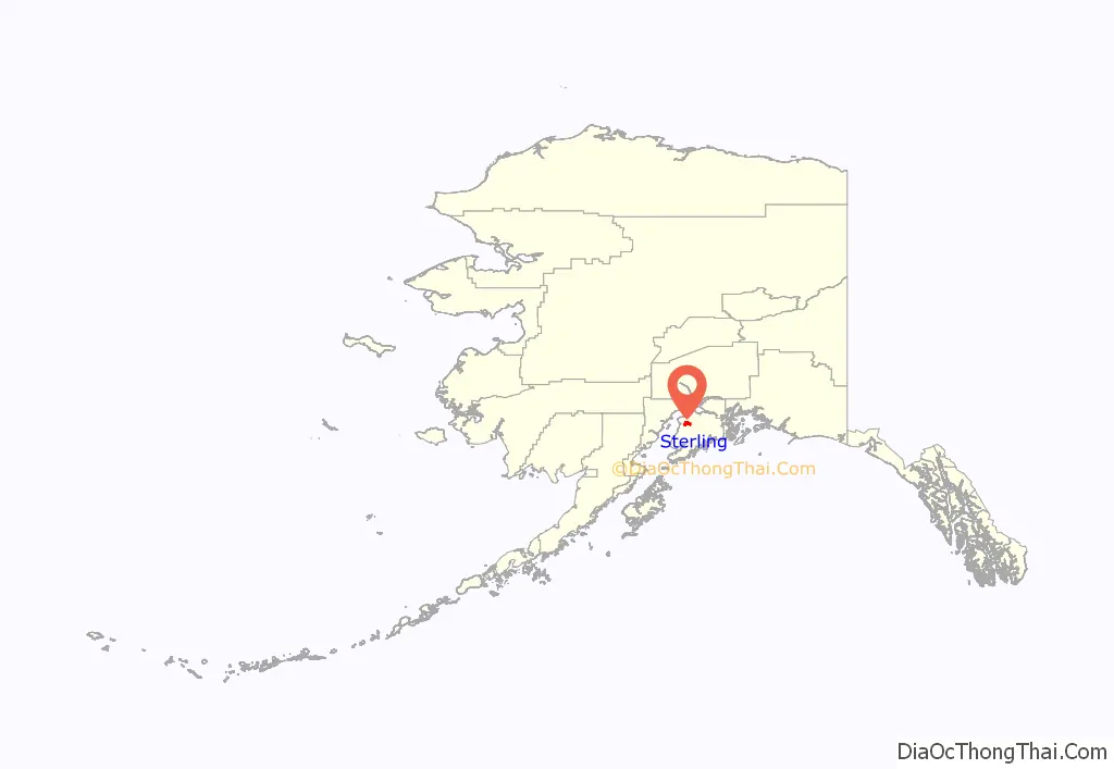
Sterling location map. Where is Sterling CDP?
History
The town now known as Sterling was originally called “Naptowne” when it was first opened for settlement in 1947. However, the area—which had a few homesteaders by then—acquired a post office in 1954 which was given the designation of “Sterling” after the Sterling Highway that served the area.
An archaeological site, containing prehistoric Dena’ina house pits, has been discovered near Sterling, showing that the area was inhabited in prehistoric times.
The main industries around Sterling today are support for tourism and sport fishing and hunting.
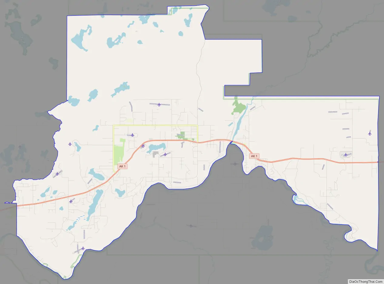
Sterling Road Map
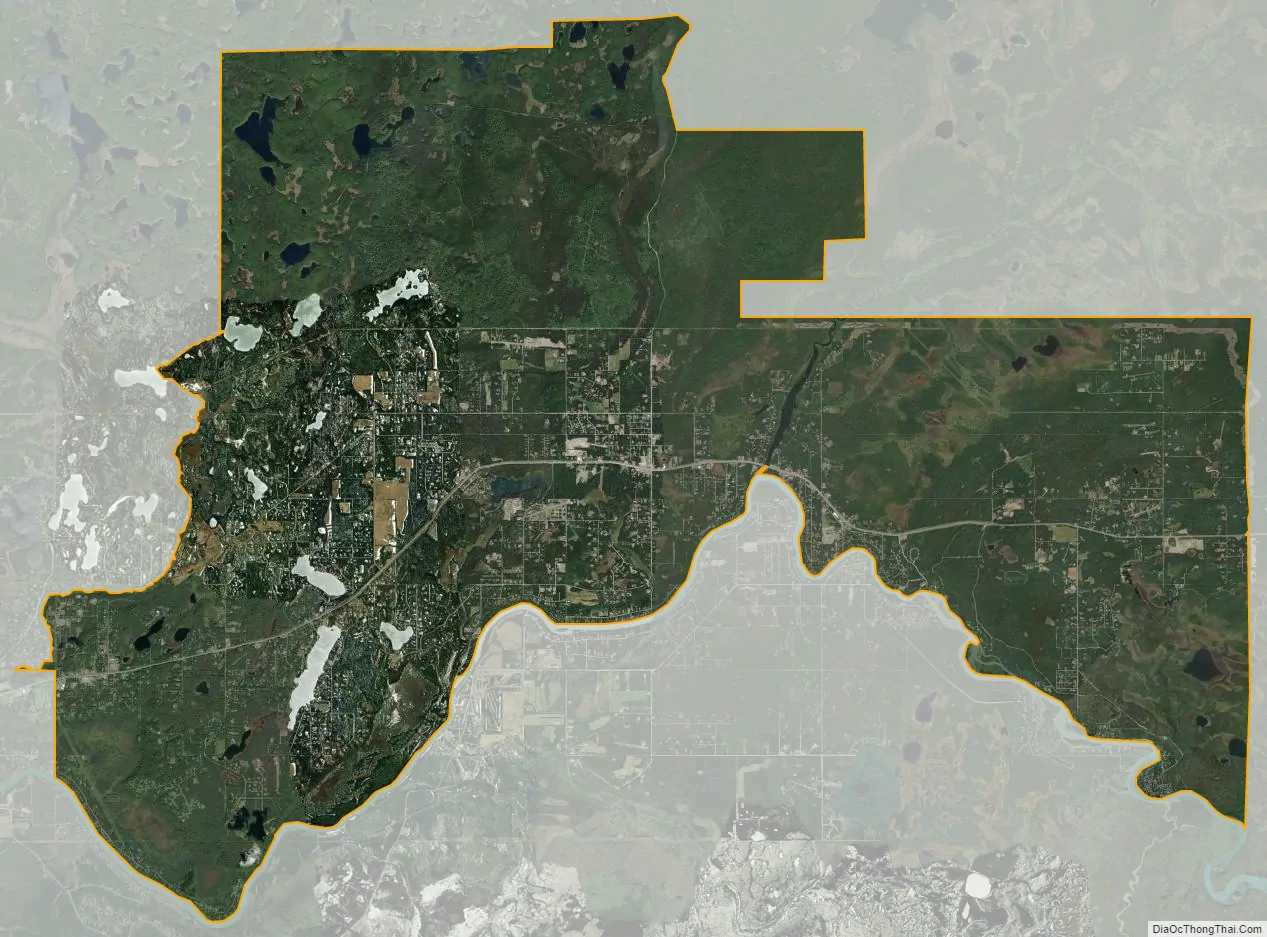
Sterling city Satellite Map
Geography
Sterling is located on the western side of the Kenai Peninsula at 60°31′47″N 150°47′52″W / 60.52972°N 150.79778°W / 60.52972; -150.79778 (60.529635, -150.797887). It is bordered to the west by Ridgeway, to the southwest by Soldotna, and to the south by Funny River. Soldotna Creek forms the western boundary of the community, and the Kenai River forms the southern boundary.
Alaska Route 1, the Sterling Highway, runs through the community, leading southwest 11 miles (18 km) to the center of Soldotna and east 34 miles (55 km) to Cooper Landing at the outlet of Kenai Lake. The city of Kenai is 22 miles (35 km) to the west via Soldotna.
According to the United States Census Bureau, the Sterling CDP has a total area of 79.7 square miles (206.3 km), of which 77.8 square miles (201.4 km) are land and 1.9 square miles (4.9 km), or 2.36%, are water.
Climate
Sterling has a continental subarctic climate (Köppen Dsc).
See also
Map of Alaska State and its subdivision:- Aleutians East
- Aleutians West
- Anchorage
- Bethel
- Bristol Bay
- Denali
- Dillingham
- Fairbanks North Star
- Haines
- Juneau
- Kenai Peninsula
- Ketchikan Gateway
- Kodiak Island
- Lake and Peninsula
- Matanuska-Susitna
- Nome
- North Slope
- Northwest Arctic
- Prince of Wales-Outer Ketchi
- Sitka
- Skagway-Yakutat-Angoon
- Southeast Fairbanks
- Valdez-Cordova
- Wade Hampton
- Wrangell-Petersburg
- Yukon-Koyukuk
- Alabama
- Alaska
- Arizona
- Arkansas
- California
- Colorado
- Connecticut
- Delaware
- District of Columbia
- Florida
- Georgia
- Hawaii
- Idaho
- Illinois
- Indiana
- Iowa
- Kansas
- Kentucky
- Louisiana
- Maine
- Maryland
- Massachusetts
- Michigan
- Minnesota
- Mississippi
- Missouri
- Montana
- Nebraska
- Nevada
- New Hampshire
- New Jersey
- New Mexico
- New York
- North Carolina
- North Dakota
- Ohio
- Oklahoma
- Oregon
- Pennsylvania
- Rhode Island
- South Carolina
- South Dakota
- Tennessee
- Texas
- Utah
- Vermont
- Virginia
- Washington
- West Virginia
- Wisconsin
- Wyoming


