Willcox is a city in Cochise County, Arizona, United States. The city is located in the Sulphur Springs Valley, a flat and sparsely populated drainage basin dotted with seasonal lakes. The city is surrounded by Arizona’s most prominent mountain ranges, including the Pinaleño Mountains and the Chiricahua Mountains.
Six of Arizona’s ten largest mountains are located within a 70-mile radius including Mount Graham (31 miles north), which is Arizona’s most prominent mountain, Chiricahua Peak (42 miles southeast), Mount Lemmon (57 miles west), Miller Peak (65 miles southwest), Mica Mountain (41 miles west), and Mount Wrightson (70 miles southwest). Scores of birds, including sandhill cranes, winter in the area, with some migrating from as far away as Siberia. A very large dry lakebed, the Willcox Playa, is located five miles south of the city. It is the remnant of the Ice Age-era Lake Cochise.
Willcox’s high desert climate gives it large diurnal temperature variation, making it ideal for wine cultivation.
| Name: | Willcox city |
|---|---|
| LSAD Code: | 25 |
| LSAD Description: | city (suffix) |
| State: | Arizona |
| County: | Cochise County |
| Founded: | 1880 |
| Incorporated: | 1915 |
| Elevation: | 4,167 ft (1,270 m) |
| Total Area: | 6.28 sq mi (16.27 km²) |
| Land Area: | 6.15 sq mi (15.92 km²) |
| Water Area: | 0.13 sq mi (0.35 km²) |
| Total Population: | 3,213 |
| Population Density: | 522.52/sq mi (201.76/km²) |
| Area code: | 520 |
| FIPS code: | 0483090 |
| GNISfeature ID: | 13808 |
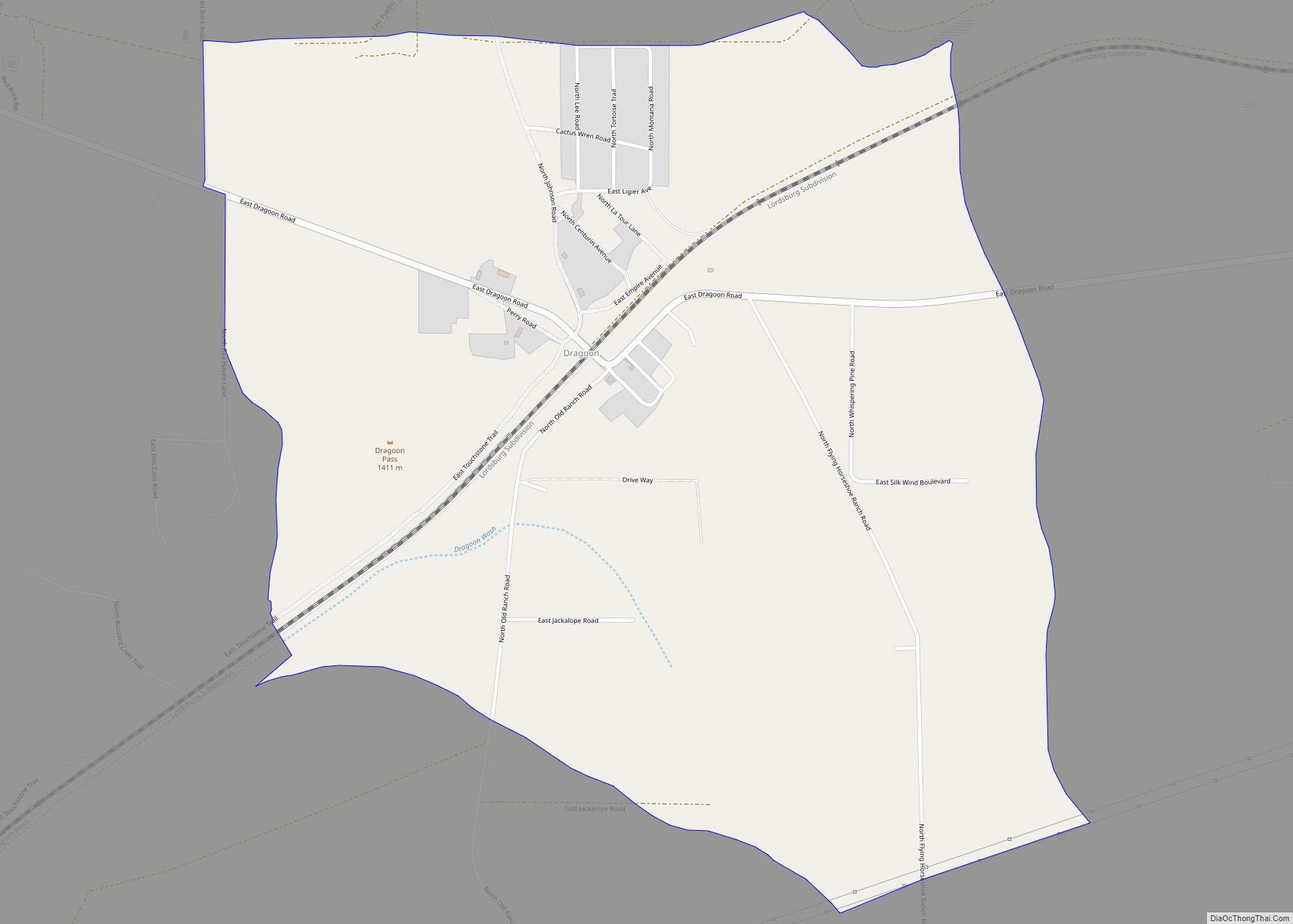
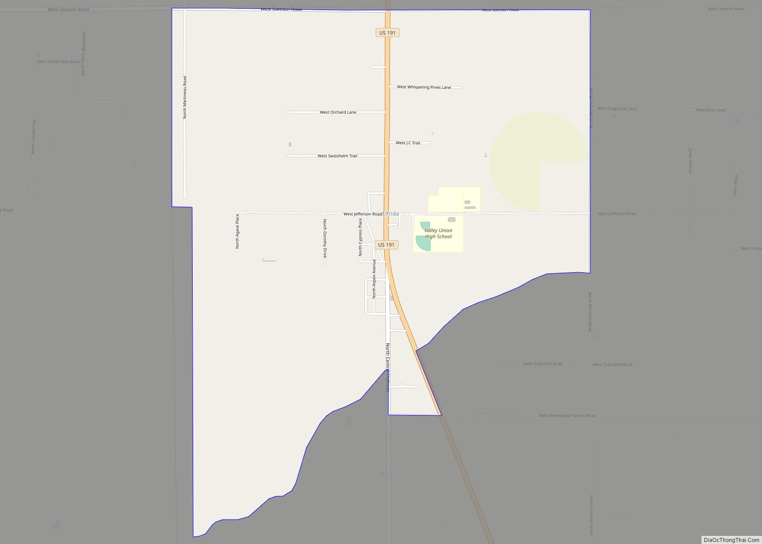
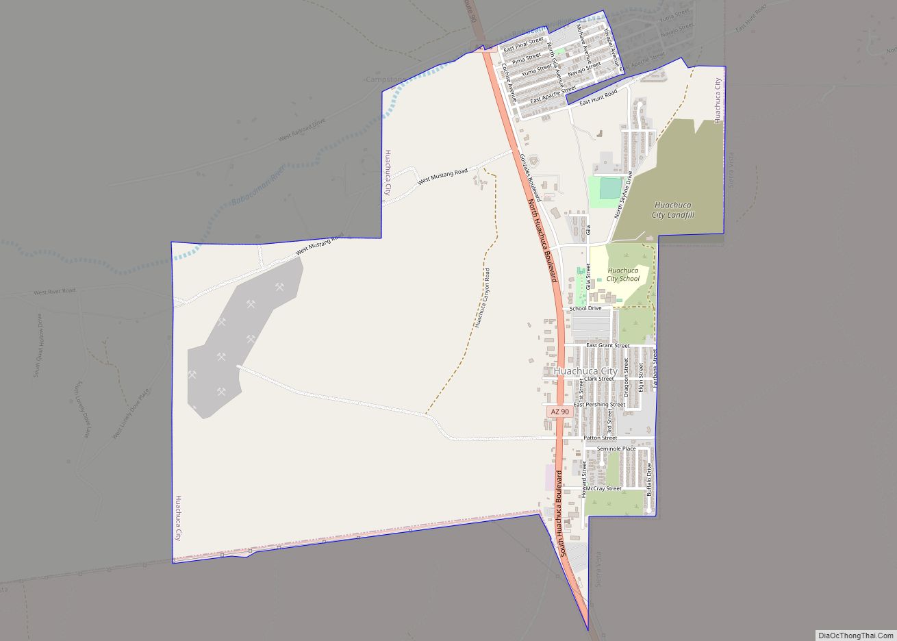
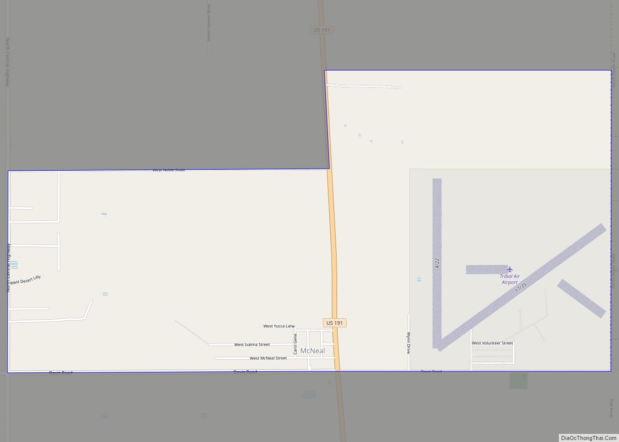
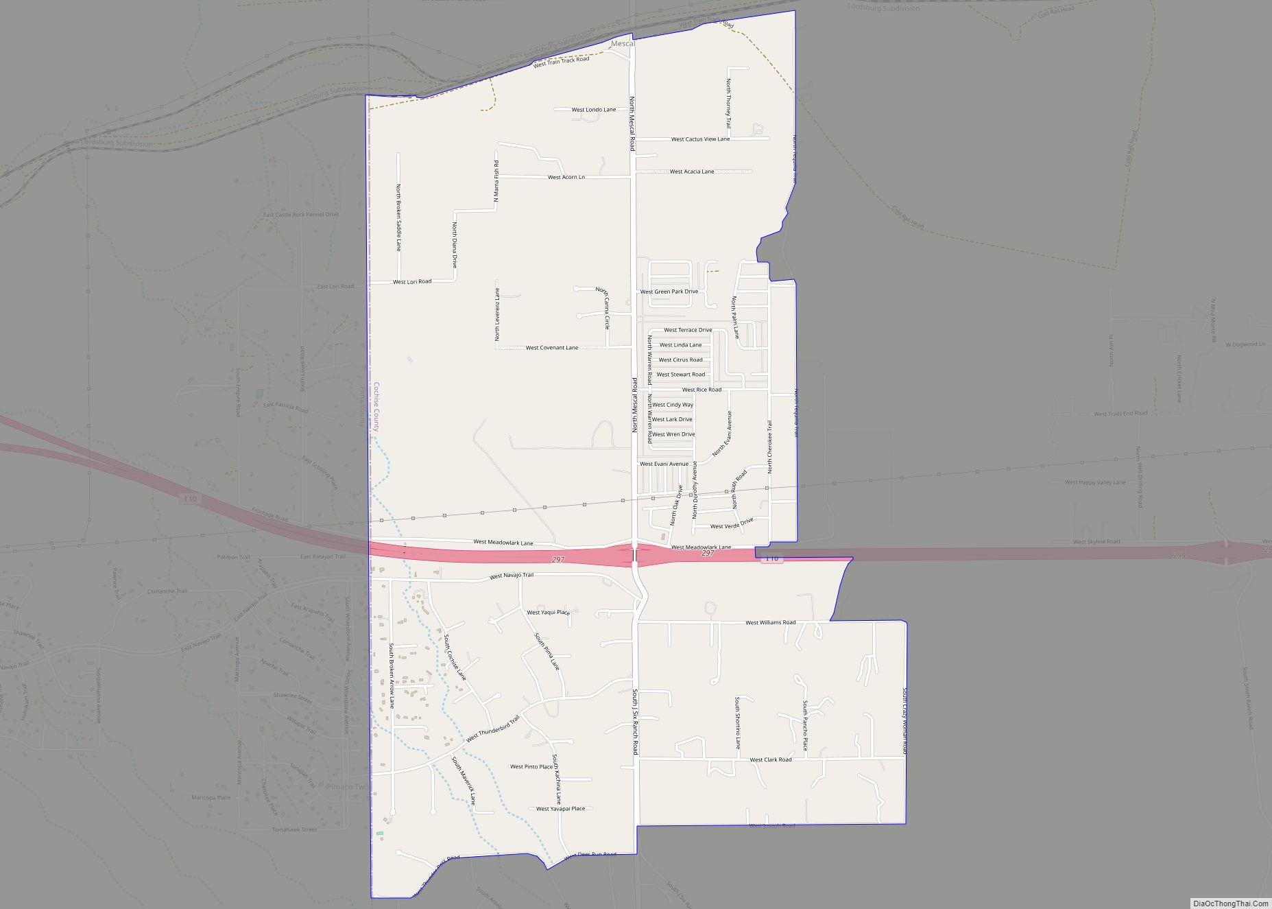
Online Interactive Map
Click on ![]() to view map in "full screen" mode.
to view map in "full screen" mode.
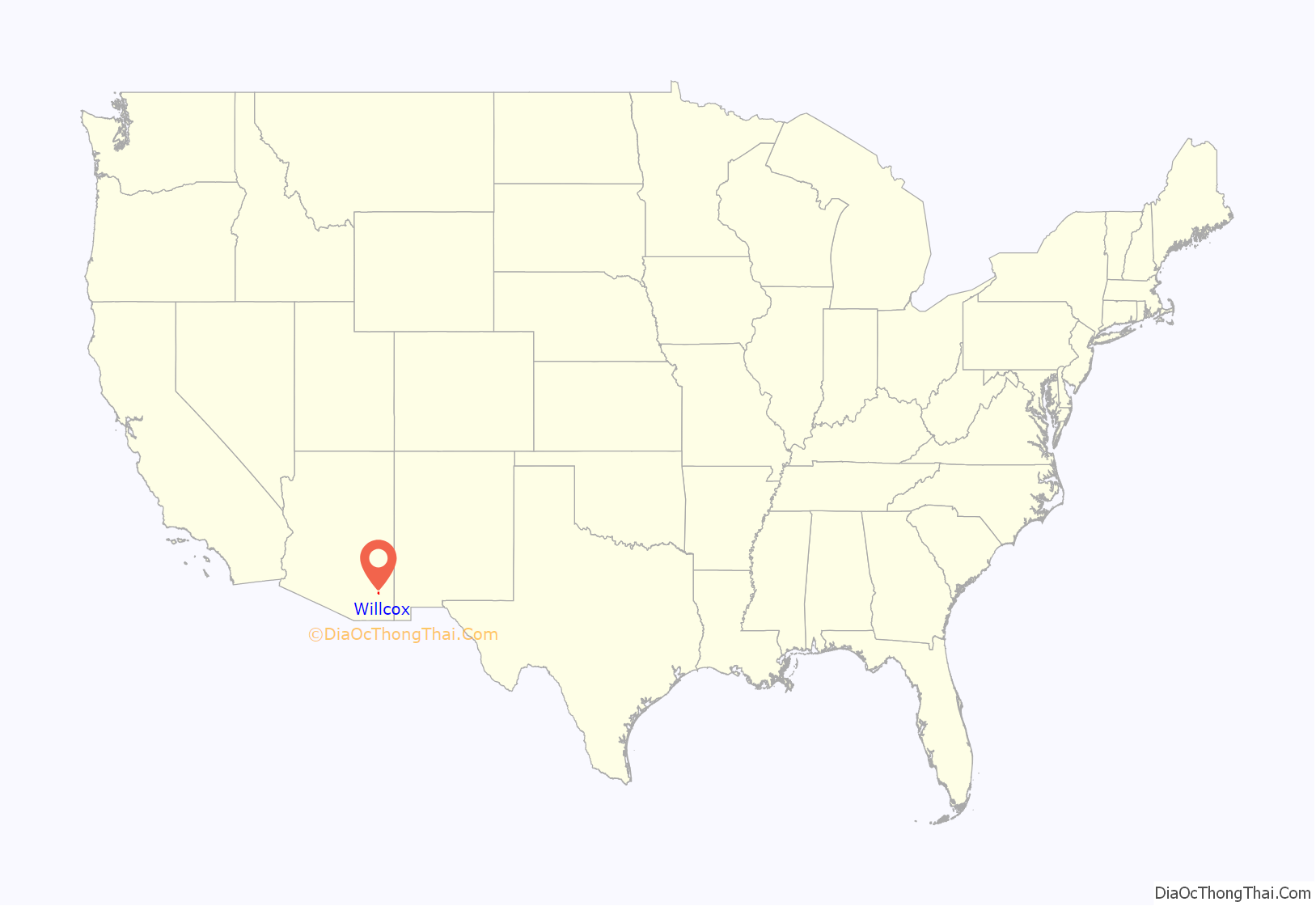
Willcox location map. Where is Willcox city?

History
Originally known as “Maley”, the town was founded in 1880 as a whistlestop on the Southern Pacific Railroad because of its position approximately halfway between El Paso, Texas and Phoenix, Arizona. It was renamed in honor of a visit by General Orlando B. Willcox in 1889. In the early 20th century, Willcox was a national leader in cattle production. Agriculture remains important to the local economy, but Interstate 10 has replaced the railroad as the major transportation link, and much of the economy is now tied to the highway, which runs immediately north of the town.
Willcox is the birthplace of Rex Allen, known as “The Arizona Cowboy”, who wrote and recorded many songs, starred in several Westerns during the early 1950s and in the syndicated television series Frontier Doctor (1958–1959). Parts of the 1993 American neo-noir film Red Rock West starring Nicolas Cage, Lara Flynn Boyle, J. T. Walsh and Dennis Hopper were filmed in Willcox. A short film documentary called “Lonesome Willcox” released in 2018 documented the town’s country music radio station KHIL.
Willcox became Arizona’s second federally designated wine growing region in 2016.
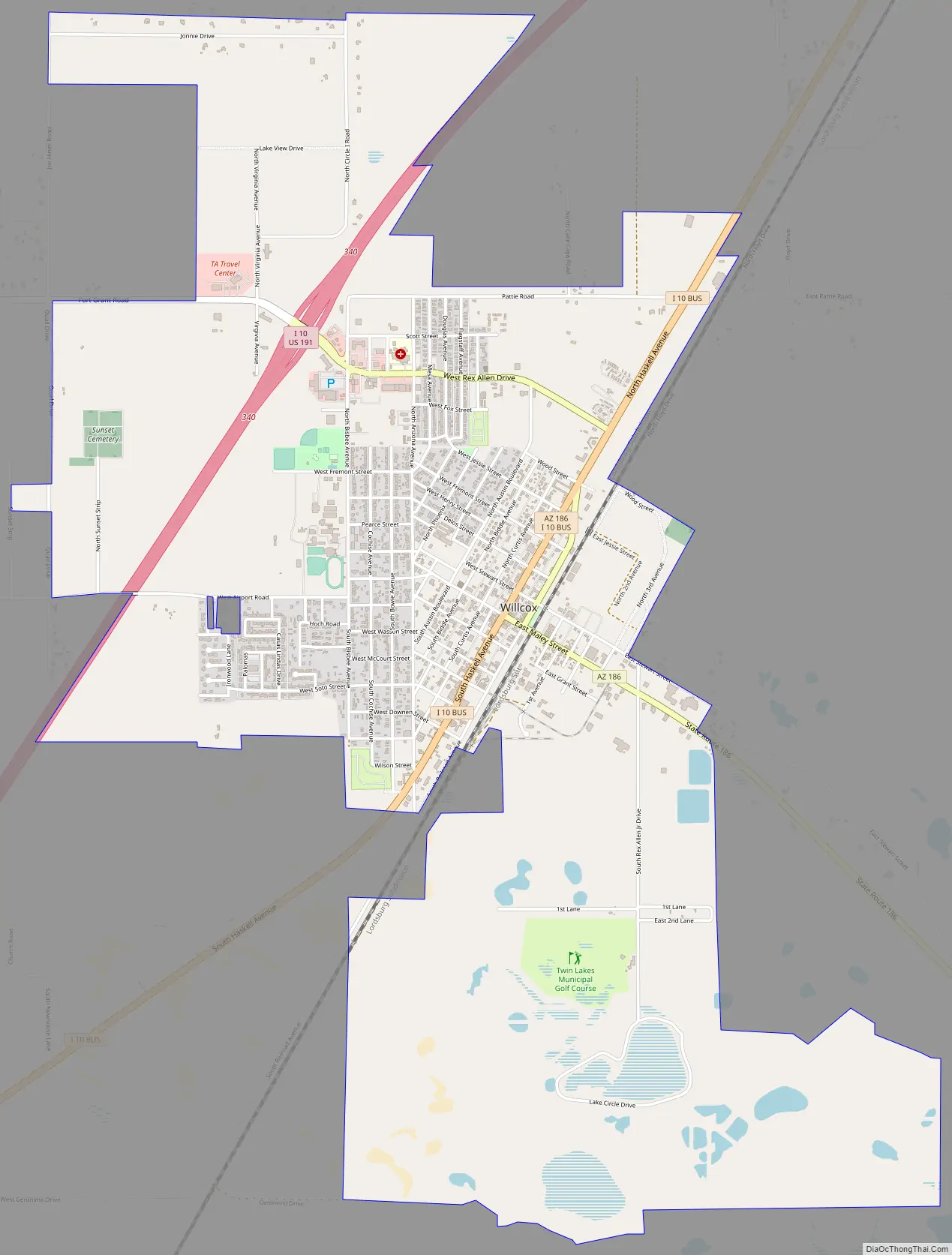
Willcox Road Map
Willcox city Satellite Map

Geography
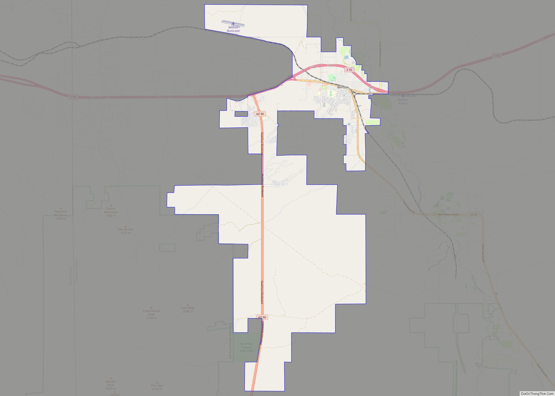
Willcox is located in northern Cochise County, in the Sulphur Springs Valley. Interstate 10 serves the city with three exits and leads 35 miles (56 km) southwest to Benson and 74 miles (119 km) east to Lordsburg, New Mexico. According to the United States Census Bureau, the city has a total area of 6.3 square miles (16.3 km), of which 6.1 square miles (15.9 km) is land and 0.12 square miles (0.3 km), or 2.13%, is water.
Notable Mountains
See also
Map of Arizona State and its subdivision: Map of other states:- Alabama
- Alaska
- Arizona
- Arkansas
- California
- Colorado
- Connecticut
- Delaware
- District of Columbia
- Florida
- Georgia
- Hawaii
- Idaho
- Illinois
- Indiana
- Iowa
- Kansas
- Kentucky
- Louisiana
- Maine
- Maryland
- Massachusetts
- Michigan
- Minnesota
- Mississippi
- Missouri
- Montana
- Nebraska
- Nevada
- New Hampshire
- New Jersey
- New Mexico
- New York
- North Carolina
- North Dakota
- Ohio
- Oklahoma
- Oregon
- Pennsylvania
- Rhode Island
- South Carolina
- South Dakota
- Tennessee
- Texas
- Utah
- Vermont
- Virginia
- Washington
- West Virginia
- Wisconsin
- Wyoming