Fountain Hills is a town in Maricopa County, Arizona, United States. Known for its impressive fountain, once the tallest in the world, it borders the Fort McDowell Yavapai Nation, Salt River Pima-Maricopa Indian Community, and Scottsdale. The population was 23,820 as of the 2020 census. Between the 1990 and 2000 censuses it was the eighth-fastest-growing place among cities and towns in Arizona. The median value of an owner-occupied housing during the period 2016-2020 was estimated at $402,100.
| Name: | Fountain Hills town |
|---|---|
| LSAD Code: | 43 |
| LSAD Description: | town (suffix) |
| State: | Arizona |
| County: | Maricopa County |
| Incorporated: | 1989 |
| Elevation: | 1,798 ft (548 m) |
| Total Area: | 20.37 sq mi (52.76 km²) |
| Land Area: | 20.28 sq mi (52.53 km²) |
| Water Area: | 0.09 sq mi (0.22 km²) |
| Total Population: | 23,820 |
| Population Density: | 1,174.38/sq mi (453.43/km²) |
| ZIP code: | 85268-85269 |
| Area code: | 480 |
| FIPS code: | 0425300 |
| GNISfeature ID: | 2412647 |
| Website: | www.fountainhillsaz.gov |
Online Interactive Map
Click on ![]() to view map in "full screen" mode.
to view map in "full screen" mode.
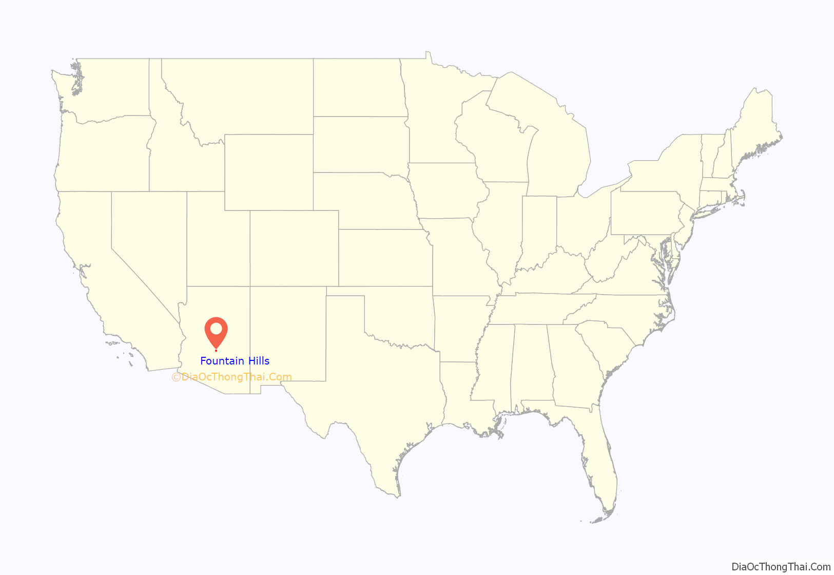
Fountain Hills location map. Where is Fountain Hills town?

History
Before the development of Fountain Hills, the area was home to the Yavapai people, and petroglyphs can be found near the Dixie Mine in the northwest corner of the town along the mountains.
In the early 20th century, the area that became Fountain Hills and the McDowell Mountain Regional Park was part of the Pemberton Ranch, later renamed the P-Bar Ranch. Fountain Hills High School is built on the site of one of the P-Bar Ranch’s buildings, and a plaque stands in the parking lot to commemorate this.
Fountain Hills was developed by C. V. Wood, president of McCulloch Oil, and was named after the towering man-made fountain in the center of town. The town was incorporated in 1989.
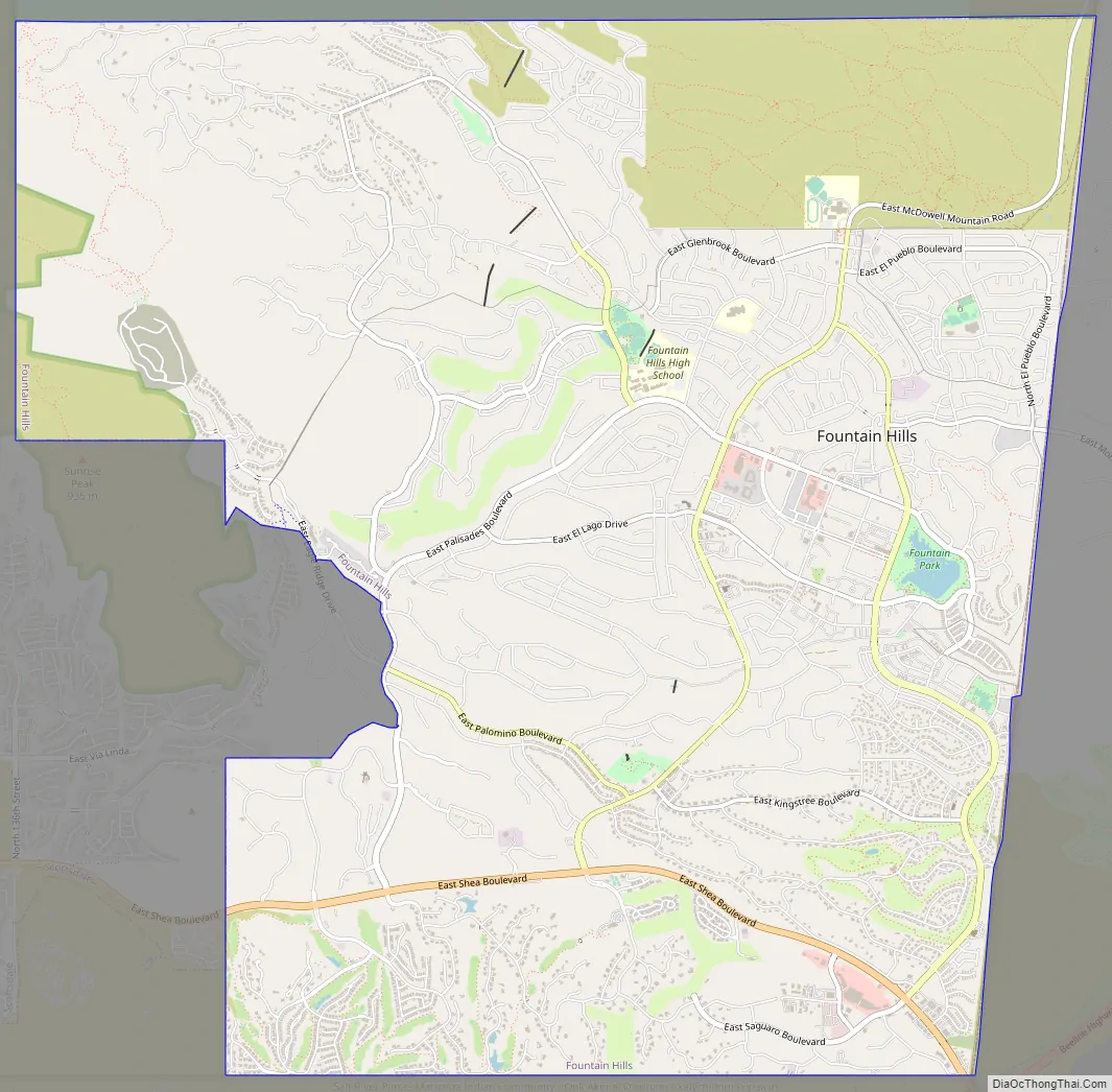
Fountain Hills Road Map
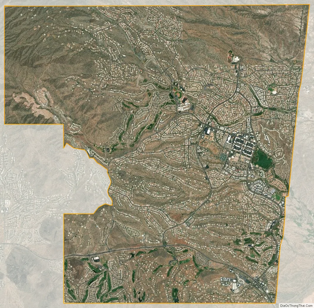
Fountain Hills city Satellite Map
Geography
Fountain Hills is in eastern Maricopa County, on the eastern edge of the Phoenix urbanized area. It is 31 miles (50 km) northeast of downtown Phoenix and sits on the east side of the south end of the McDowell Mountains. According to the U.S. Census Bureau, the town has a total area of 20.4 square miles (53 km), of which 0.1 square miles (0.26 km), or 0.42%, are water. The elevation is 1,520 feet (460 m) at the fountain, 500 feet (150 m) higher than in Phoenix. The elevation reaches 3,190 feet (970 m) on the western border of the town, on a spur of the McDowell Mountains.
To the east of the town is the Verde River, a tributary to the Salt River. Inside the town there are many washes that run through Fountain Hills into the Verde River. Some of these washes include the Ashbrook, Balboa, Legend, and Colony Washes. During times of rain the washes flood with water and can sometimes block roads with their water. Signs mark several of the intersections of washes and major streets in the town.
To the southwest and northwest regions of Fountain Hills are the McDowell Mountains, a chain of extinct volcanic remnants. The highest mountains in the range are East End (4,067 ft (1,240 m)), McDowell Peak (4,034 ft (1,230 m)), and Thompson Peak (3,982 ft (1,214 m)), all in neighboring Scottsdale.
See also
Map of Arizona State and its subdivision: Map of other states:- Alabama
- Alaska
- Arizona
- Arkansas
- California
- Colorado
- Connecticut
- Delaware
- District of Columbia
- Florida
- Georgia
- Hawaii
- Idaho
- Illinois
- Indiana
- Iowa
- Kansas
- Kentucky
- Louisiana
- Maine
- Maryland
- Massachusetts
- Michigan
- Minnesota
- Mississippi
- Missouri
- Montana
- Nebraska
- Nevada
- New Hampshire
- New Jersey
- New Mexico
- New York
- North Carolina
- North Dakota
- Ohio
- Oklahoma
- Oregon
- Pennsylvania
- Rhode Island
- South Carolina
- South Dakota
- Tennessee
- Texas
- Utah
- Vermont
- Virginia
- Washington
- West Virginia
- Wisconsin
- Wyoming


