New River is an unincorporated community and census-designated place (CDP) in Maricopa County, Arizona, United States. The population was 17,290 as of the 2020 census, up from 14,952 at the 2010 census.
| Name: | New River CDP |
|---|---|
| LSAD Code: | 57 |
| LSAD Description: | CDP (suffix) |
| State: | Arizona |
| County: | Maricopa County |
| Elevation: | 2,014 ft (614 m) |
| Total Area: | 56.12 sq mi (145.35 km²) |
| Land Area: | 56.11 sq mi (145.32 km²) |
| Water Area: | 0.01 sq mi (0.03 km²) |
| Total Population: | 17,290 |
| Population Density: | 308.16/sq mi (118.98/km²) |
| ZIP code: | 85087 (New River) 85086 (Phoenix) |
| Area code: | 623 |
| FIPS code: | 0449360 |
| GNISfeature ID: | 0008605 |
Online Interactive Map
Click on ![]() to view map in "full screen" mode.
to view map in "full screen" mode.
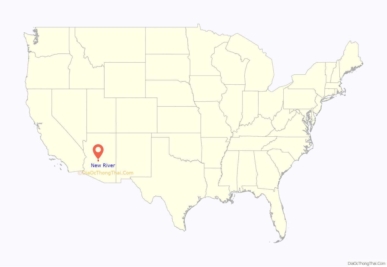
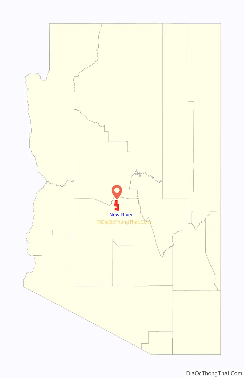
New River location map. Where is New River CDP?
History
New River is named after the seasonal wash of the same name, part of the Agua Fria River system which drains into the Salt River. The community was founded by Lord Darrell Duppa in 1868 as a stagecoach stop. For many years it was the terminus of the old Black Canyon Highway (now Interstate 17). The pavement ended in New River and continued as a dirt road to the city of Prescott.
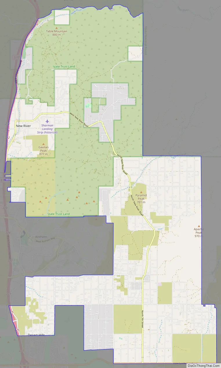
New River Road Map
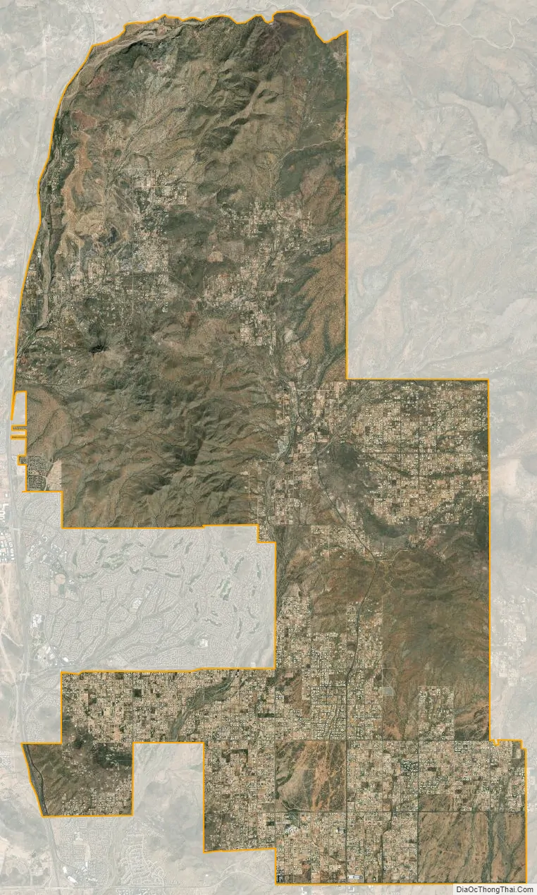
New River city Satellite Map
Geography
New River is located in northern Maricopa County at 33°52′9″N 112°5′9″W / 33.86917°N 112.08583°W / 33.86917; -112.08583 (33.869149, −112.085759). It is bordered by the Tonto National Forest to the north, Cave Creek to the east, Phoenix to the south, and Phoenix and Anthem to the west. The CDP includes the area known as Desert Hills. New River is approximately 36 miles (58 km) north of downtown Phoenix.
According to the United States Census Bureau, the CDP has a total area of 56.1 square miles (145 km), of which 0.01 square miles (0.03 km), or 0.02%, are water. 3,176-foot (968 m) Daisy Mountain and 2,980-foot (910 m) Gavilan Peak are within the community.
See also
Map of Arizona State and its subdivision: Map of other states:- Alabama
- Alaska
- Arizona
- Arkansas
- California
- Colorado
- Connecticut
- Delaware
- District of Columbia
- Florida
- Georgia
- Hawaii
- Idaho
- Illinois
- Indiana
- Iowa
- Kansas
- Kentucky
- Louisiana
- Maine
- Maryland
- Massachusetts
- Michigan
- Minnesota
- Mississippi
- Missouri
- Montana
- Nebraska
- Nevada
- New Hampshire
- New Jersey
- New Mexico
- New York
- North Carolina
- North Dakota
- Ohio
- Oklahoma
- Oregon
- Pennsylvania
- Rhode Island
- South Carolina
- South Dakota
- Tennessee
- Texas
- Utah
- Vermont
- Virginia
- Washington
- West Virginia
- Wisconsin
- Wyoming


