San Simon is a census-designated place in Cochise County, Arizona, United States. As of the 2010 census, it had a population of 165. San Simon is located along Interstate 10, 40 miles (64 km) east of Willcox. The community has a ZIP code of 85632.
| Name: | San Simon CDP |
|---|---|
| LSAD Code: | 57 |
| LSAD Description: | CDP (suffix) |
| State: | Arizona |
| County: | Cochise County |
| Elevation: | 3,629 ft (1,106 m) |
| Total Area: | 0.76 sq mi (1.98 km²) |
| Land Area: | 0.76 sq mi (1.98 km²) |
| Water Area: | 0.00 sq mi (0.00 km²) |
| Total Population: | 158 |
| Population Density: | 206.81/sq mi (79.87/km²) |
| ZIP code: | 85632 |
| Area code: | 520 |
| FIPS code: | 0463820 |
| GNISfeature ID: | 10856 |
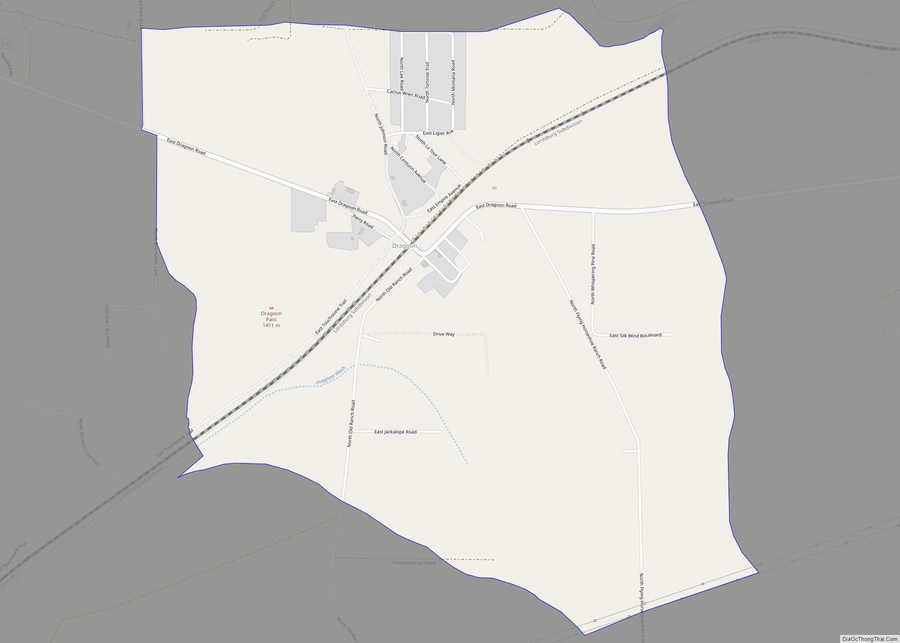
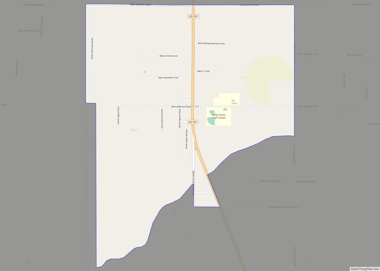
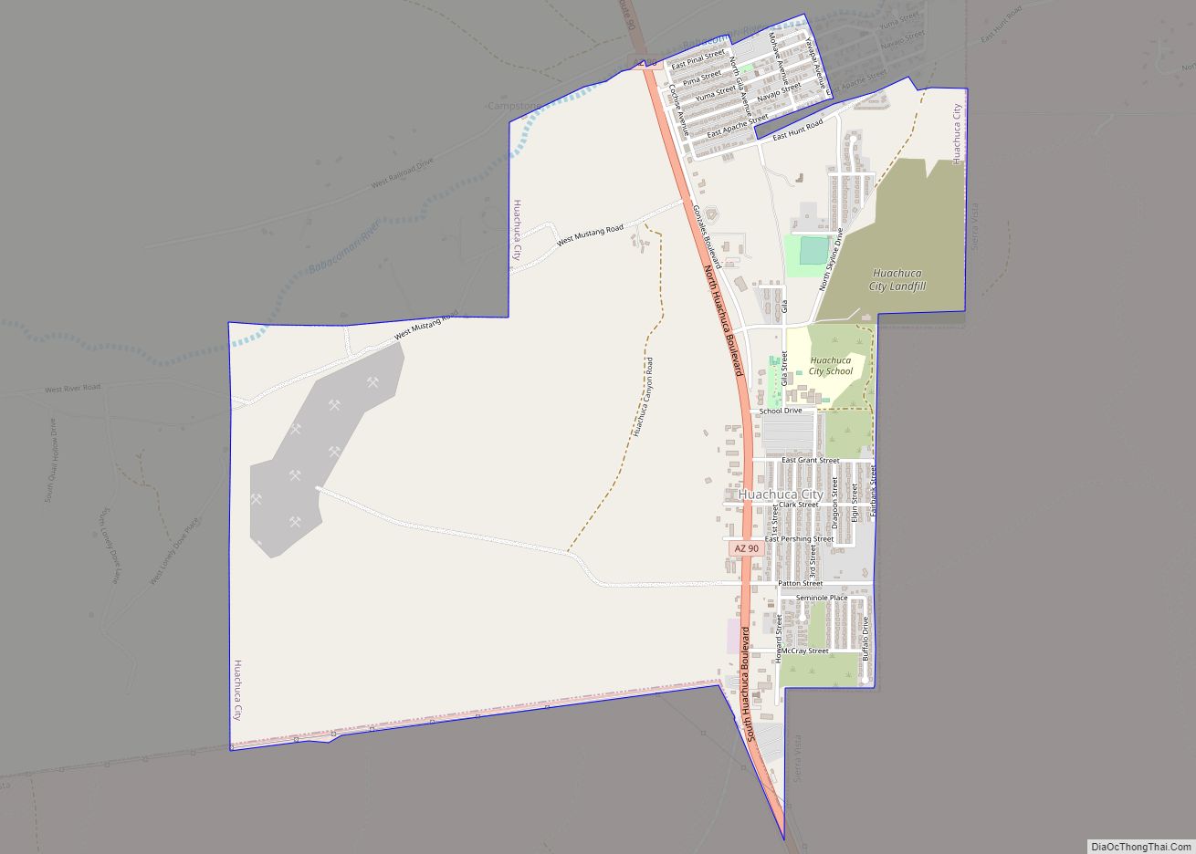
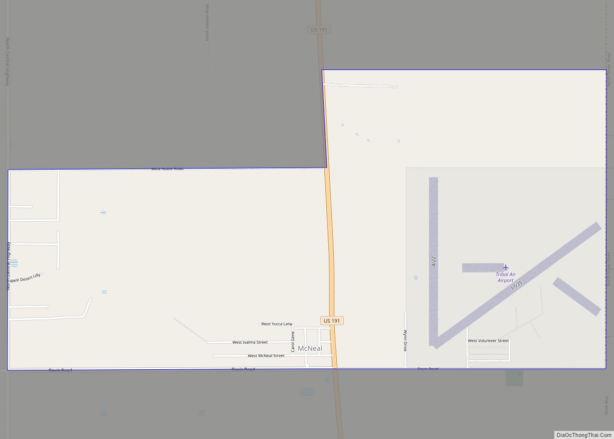
Online Interactive Map
Click on ![]() to view map in "full screen" mode.
to view map in "full screen" mode.
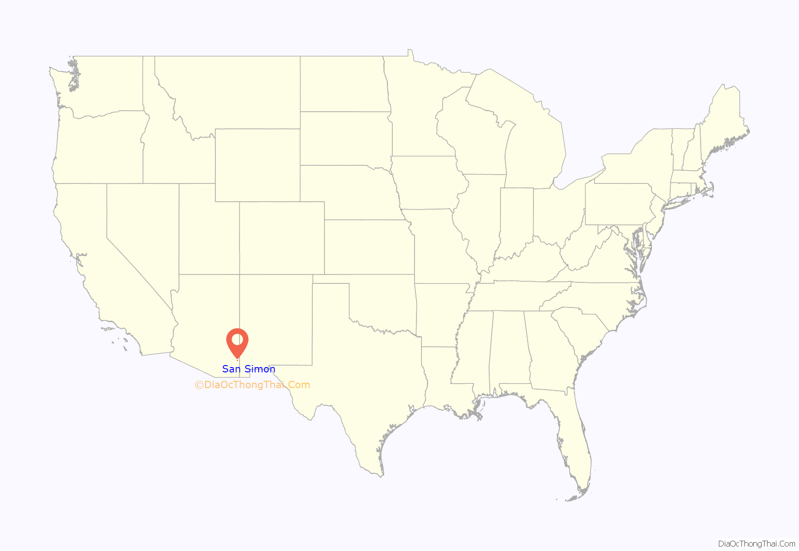
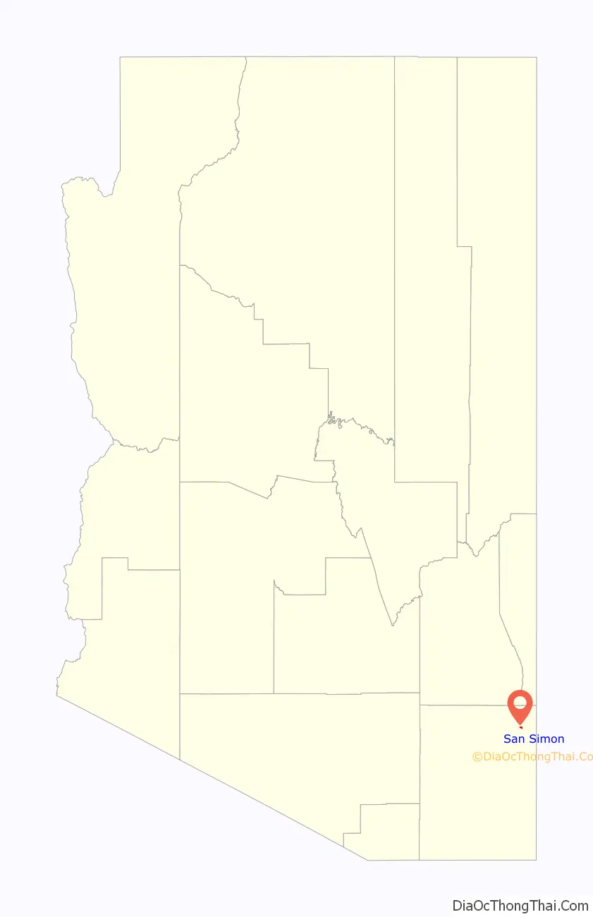
San Simon location map. Where is San Simon CDP?
History
San Simon was the location of the San Simon Station of the Butterfield Overland Mail on the San Simon River between Apache Pass and Stein’s Peak Stations. It was a later relay station established to provide water and change horses on the route.
In September 1880, Southern Pacific’s rail line construction from the west reached San Simon and started rail service. Once a junction was made in March 1881 with eastern rails in Deming, New Mexico, the line became the second transcontinental rail route across the United States. San Simon was within Pima County until Cochise County was formed out of the eastern half of Pima in February 1881.
San Simon Road Map
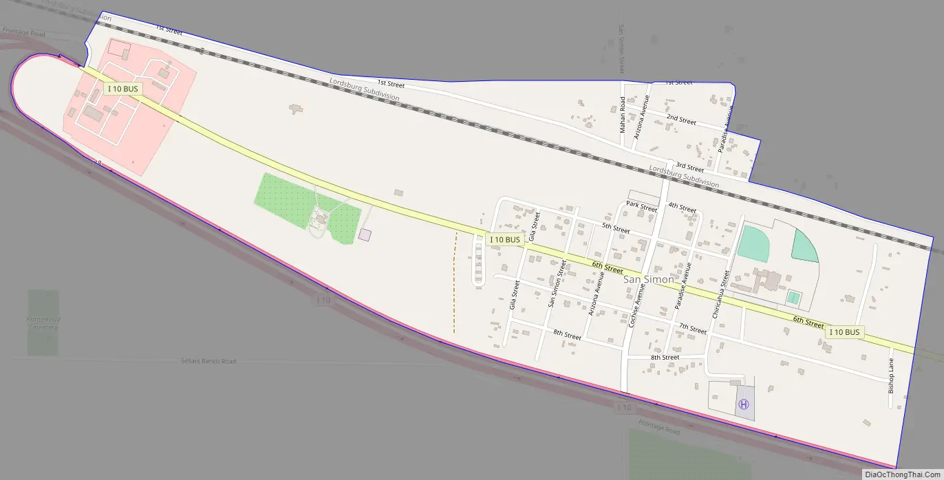
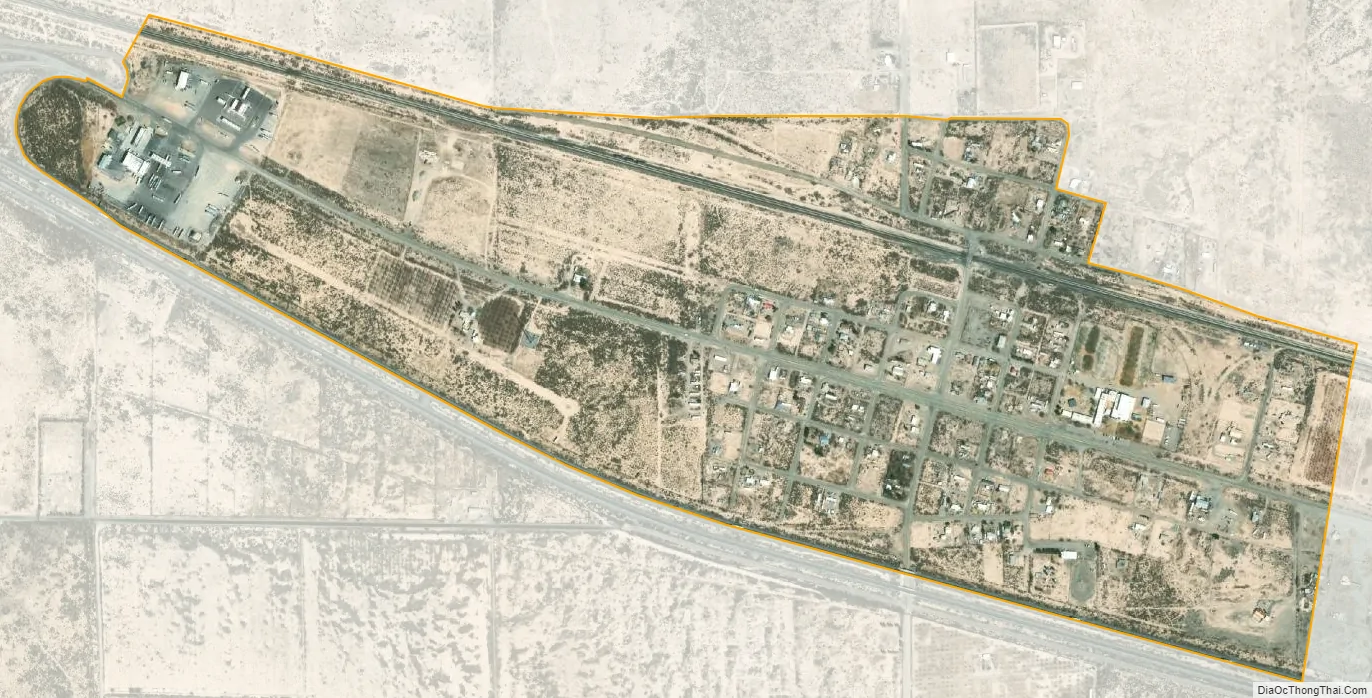
San Simon city Satellite Map
See also
Map of Arizona State and its subdivision: Map of other states:- Alabama
- Alaska
- Arizona
- Arkansas
- California
- Colorado
- Connecticut
- Delaware
- District of Columbia
- Florida
- Georgia
- Hawaii
- Idaho
- Illinois
- Indiana
- Iowa
- Kansas
- Kentucky
- Louisiana
- Maine
- Maryland
- Massachusetts
- Michigan
- Minnesota
- Mississippi
- Missouri
- Montana
- Nebraska
- Nevada
- New Hampshire
- New Jersey
- New Mexico
- New York
- North Carolina
- North Dakota
- Ohio
- Oklahoma
- Oregon
- Pennsylvania
- Rhode Island
- South Carolina
- South Dakota
- Tennessee
- Texas
- Utah
- Vermont
- Virginia
- Washington
- West Virginia
- Wisconsin
- Wyoming