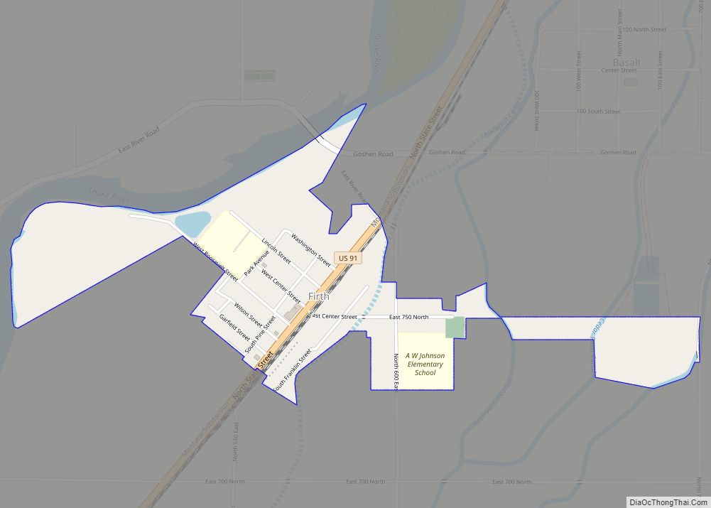
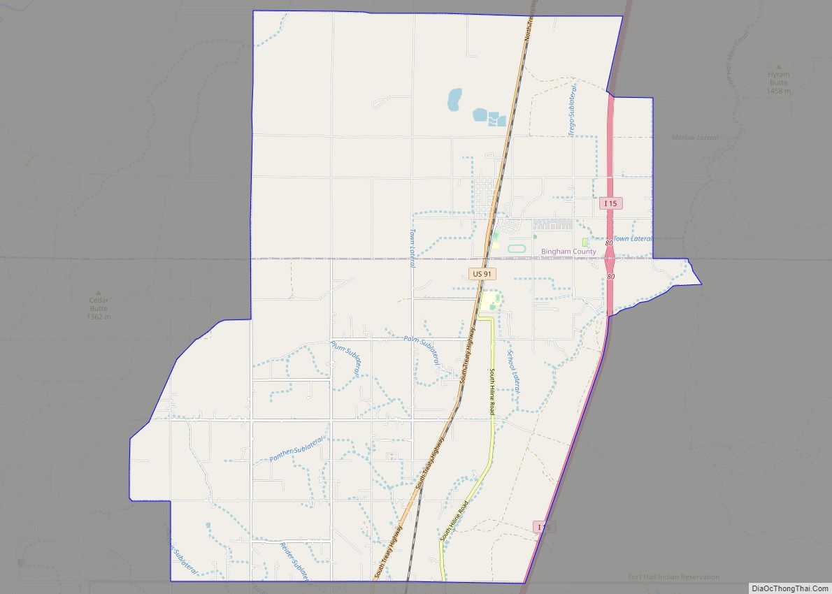
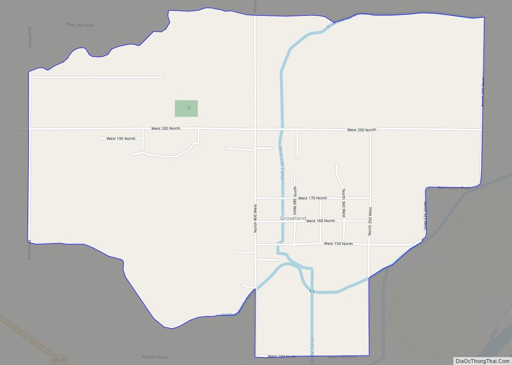
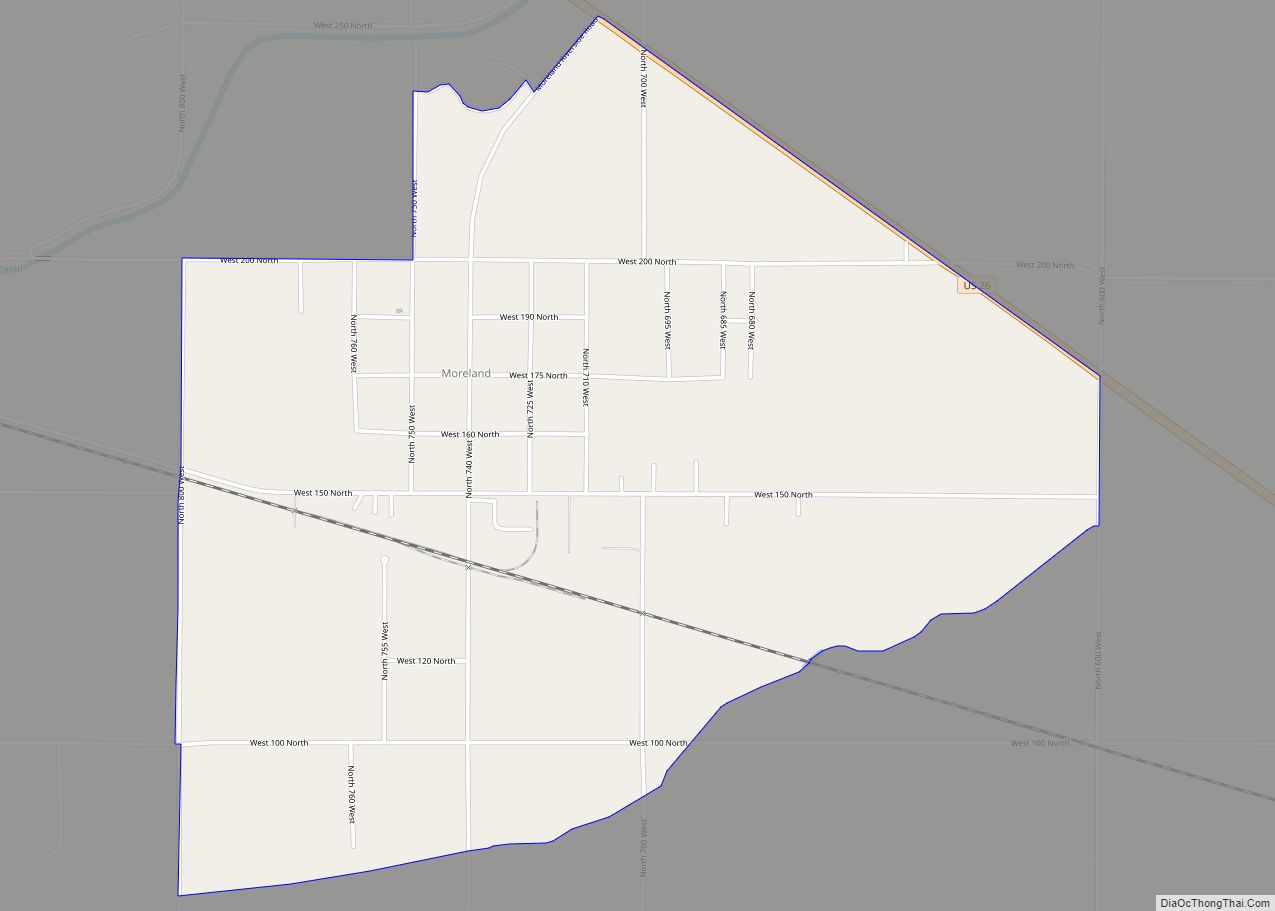
Groveland is a census-designated place in Bingham County, Idaho, United States. Its population was 877 as of the 2010 census.
The community was named for the groves of trees near the original town site.
| Name: | Groveland CDP |
|---|---|
| LSAD Code: | 57 |
| LSAD Description: | CDP (suffix) |
| State: | Idaho |
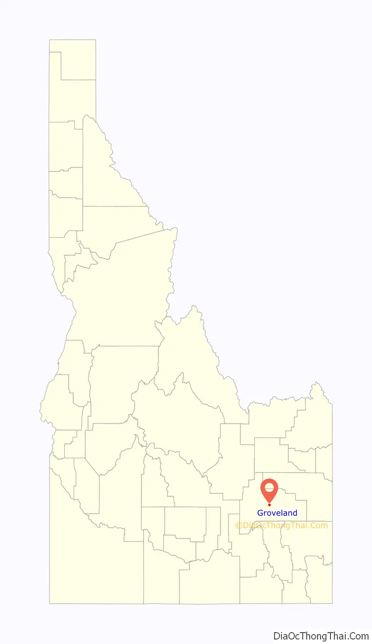
| County: | Bingham County |
| Elevation: | 4,495 ft (1,370 m) |
| Total Area: | 2.297 sq mi (5.95 km²) |
| Land Area: | 2.297 sq mi (5.95 km²) |
| Water Area: | 0 sq mi (0 km²) |
| Total Population: | 877 |
| Population Density: | 380/sq mi (150/km²) |
| Area code: | 208, 986 |
| FIPS code: | 1634030 |
| GNISfeature ID: | 396599 |
Online Interactive Map
Click on ![]() to view map in "full screen" mode.
to view map in "full screen" mode.
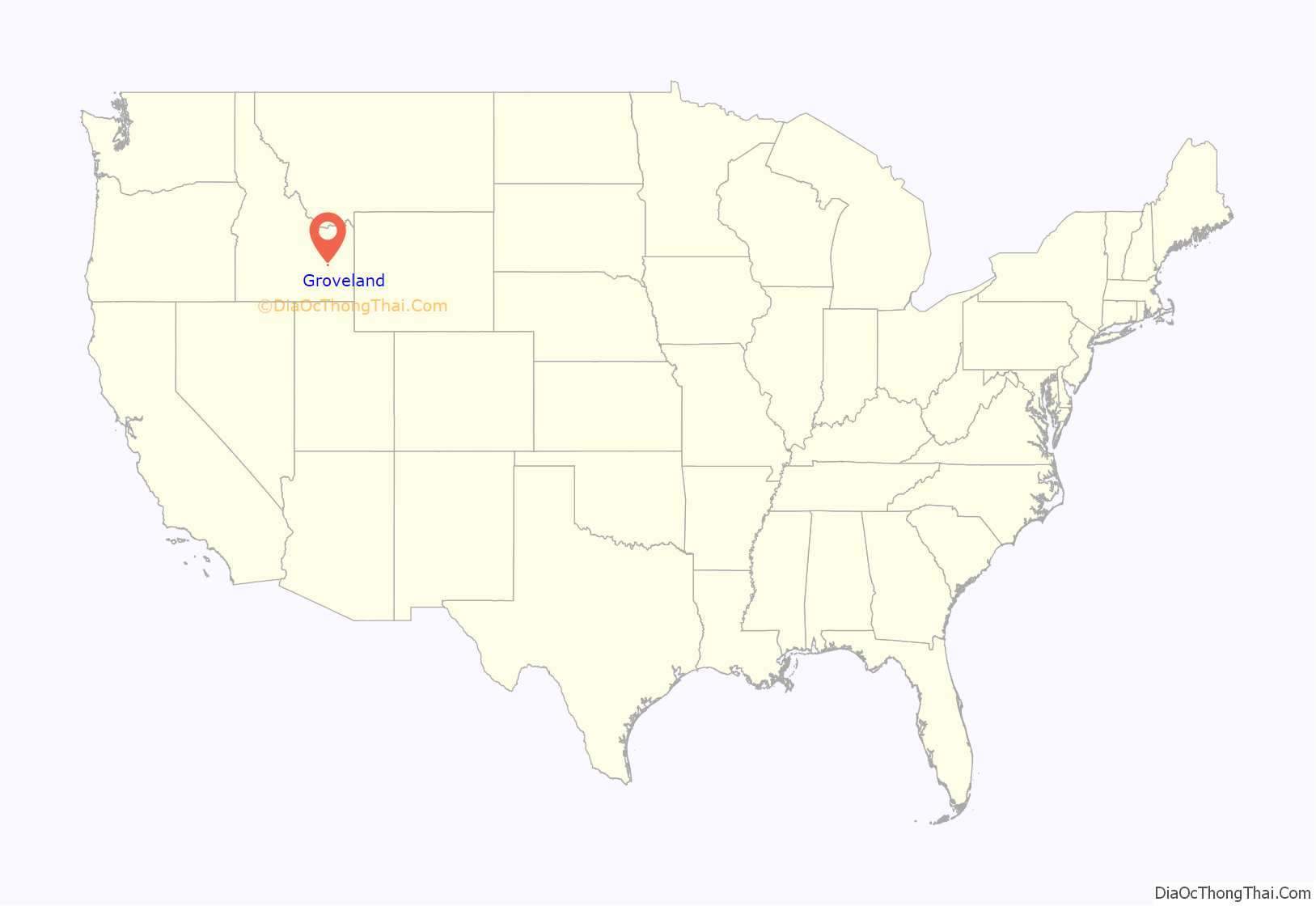
Groveland location map. Where is Groveland CDP?
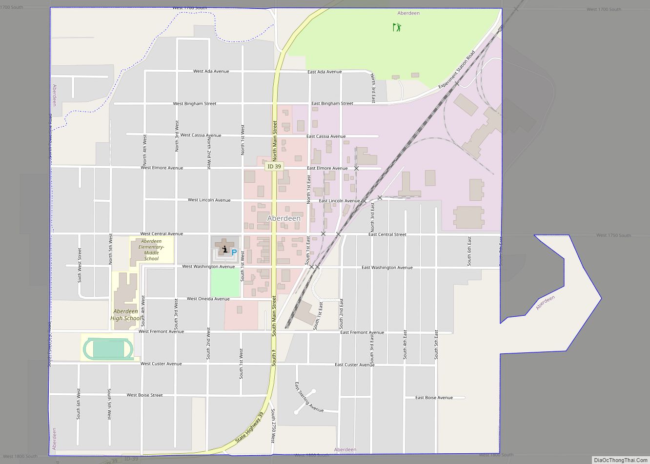
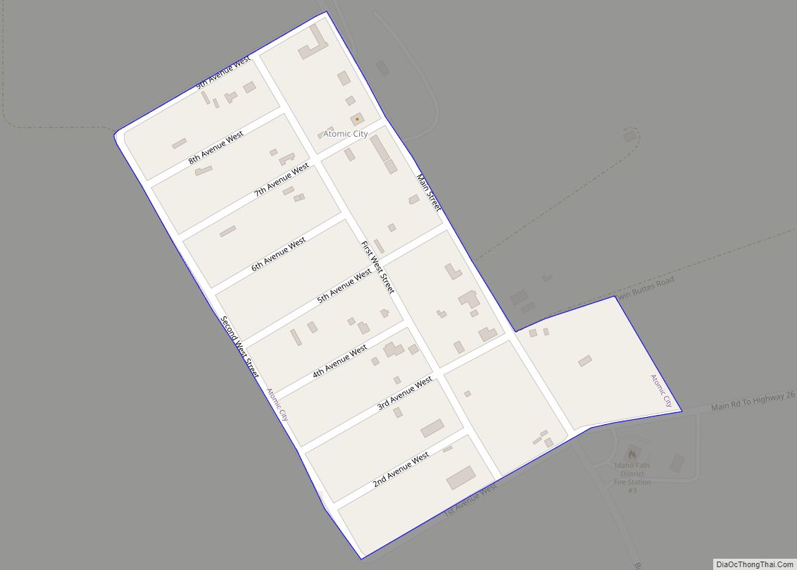
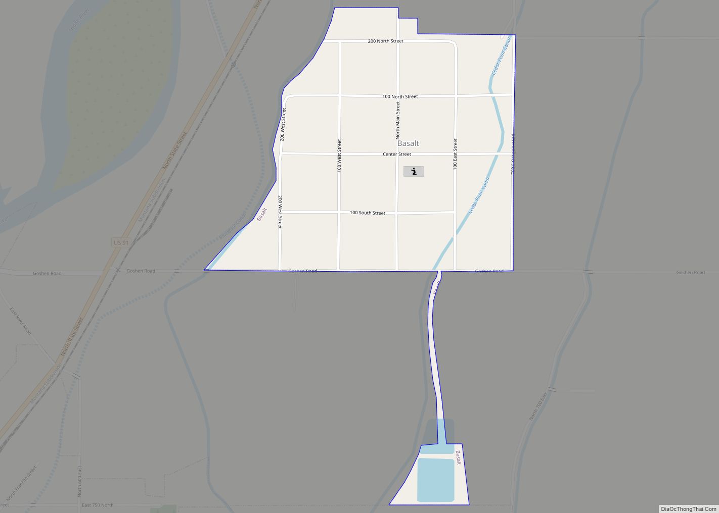
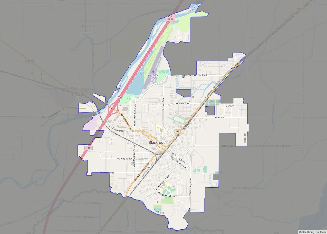
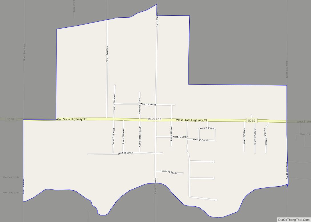
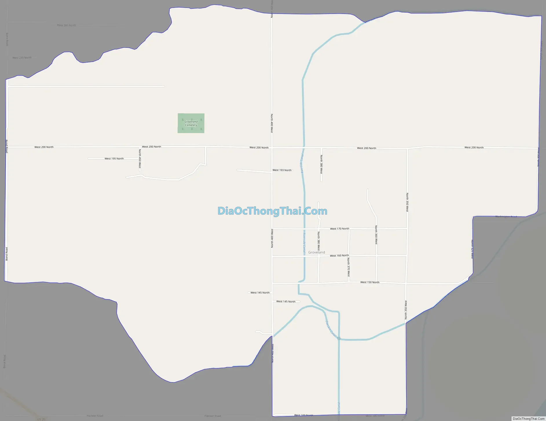
Groveland Road Map
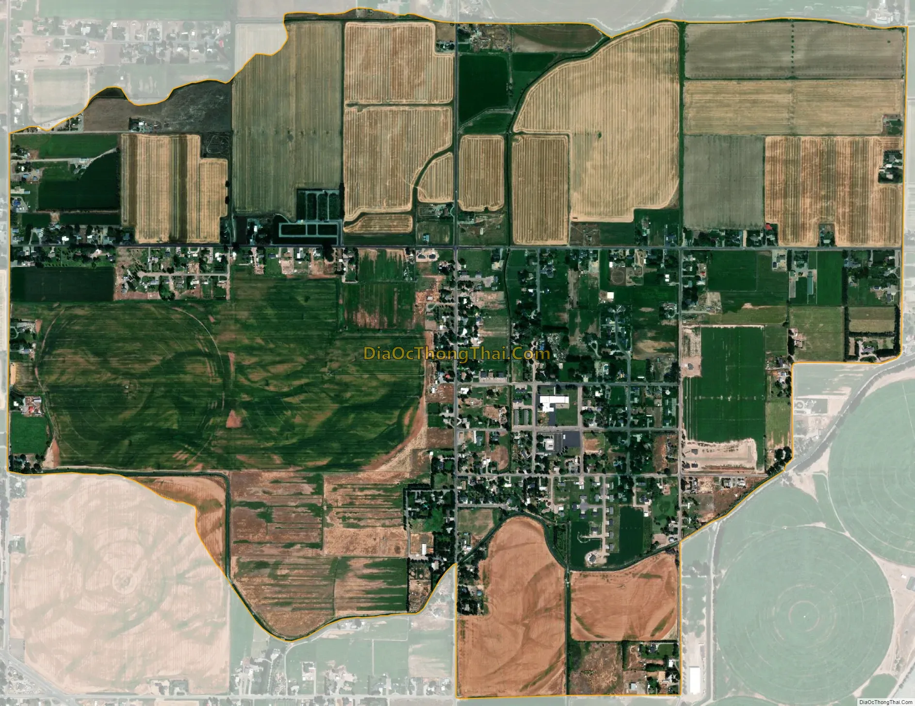
Groveland city Satellite Map
See also
Map of Idaho State and its subdivision:- Ada
- Adams
- Bannock
- Bear Lake
- Benewah
- Bingham
- Blaine
- Boise
- Bonner
- Bonneville
- Boundary
- Butte
- Camas
- Canyon
- Caribou
- Cassia
- Clark
- Clearwater
- Custer
- Elmore
- Franklin
- Fremont
- Gem
- Gooding
- Idaho
- Jefferson
- Jerome
- Kootenai
- Latah
- Lemhi
- Lewis
- Lincoln
- Madison
- Minidoka
- Nez Perce
- Oneida
- Owyhee
- Payette
- Power
- Shoshone
- Teton
- Twin Falls
- Valley
- Washington
- Alabama
- Alaska
- Arizona
- Arkansas
- California
- Colorado
- Connecticut
- Delaware
- District of Columbia
- Florida
- Georgia
- Hawaii
- Idaho
- Illinois
- Indiana
- Iowa
- Kansas
- Kentucky
- Louisiana
- Maine
- Maryland
- Massachusetts
- Michigan
- Minnesota
- Mississippi
- Missouri
- Montana
- Nebraska
- Nevada
- New Hampshire
- New Jersey
- New Mexico
- New York
- North Carolina
- North Dakota
- Ohio
- Oklahoma
- Oregon
- Pennsylvania
- Rhode Island
- South Carolina
- South Dakota
- Tennessee
- Texas
- Utah
- Vermont
- Virginia
- Washington
- West Virginia
- Wisconsin
- Wyoming