Juliaetta is a city in Latah County, Idaho, United States. The population was 624 at the 2020 census.
| Name: | Juliaetta city |
|---|---|
| LSAD Code: | 25 |
| LSAD Description: | city (suffix) |
| State: | Idaho |
| County: | Latah County |
| Elevation: | 1,171 ft (357 m) |
| Total Area: | 0.71 sq mi (1.84 km²) |
| Land Area: | 0.70 sq mi (1.81 km²) |
| Water Area: | 0.01 sq mi (0.03 km²) |
| Total Population: | 579 |
| Population Density: | 861.03/sq mi (332.53/km²) |
| ZIP code: | 83535 |
| Area code: | 208 |
| FIPS code: | 1642130 |
| GNISfeature ID: | 399940 |
| Website: | www.kendrick-juliaetta.org |
Online Interactive Map
Click on ![]() to view map in "full screen" mode.
to view map in "full screen" mode.
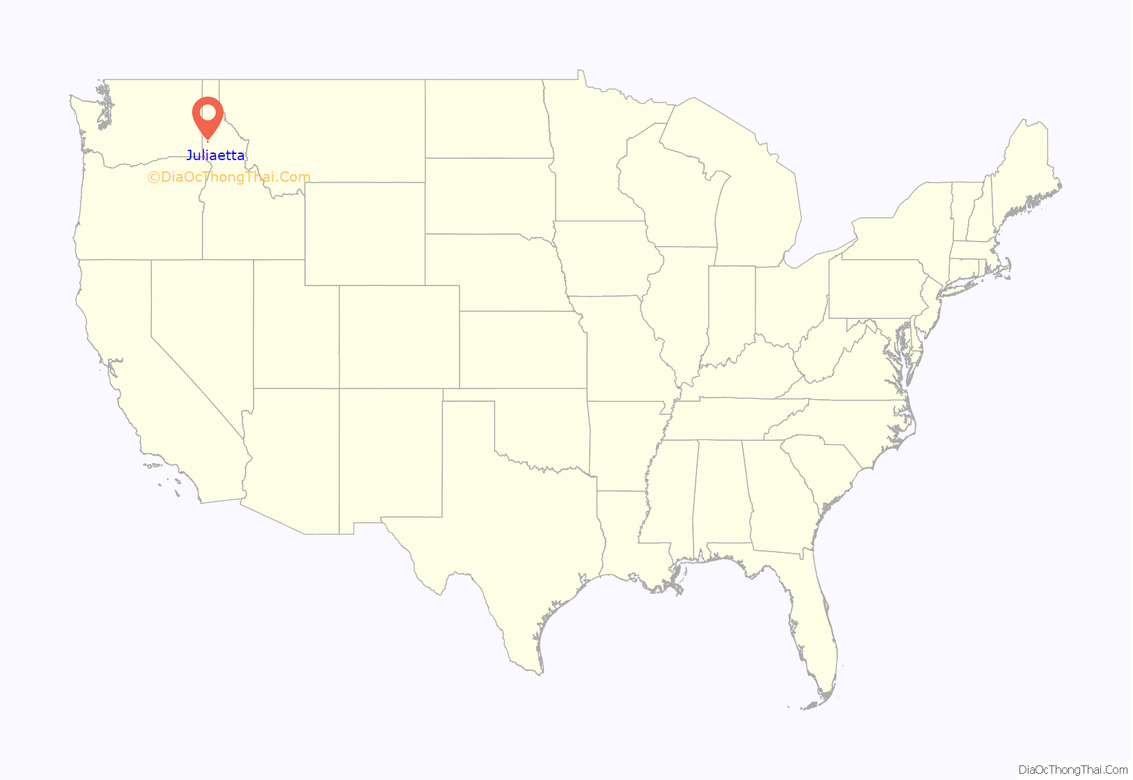
Juliaetta location map. Where is Juliaetta city?
History
The area was originally called Schupferville for Rupert Schupfer, an original homesteader in the area. The town was named in 1882 by the first postmaster, Charles Snyder. He named the town in honor of his two daughters, Julia and Etta. The city was incorporated in 1892 when the railroad was extended to that point.
The Bank of Juliaetta is a historic building located on Main Street. It was built in 1889 and now houses a restaurant. The building was placed on the National Register of Historic Places in 1998.
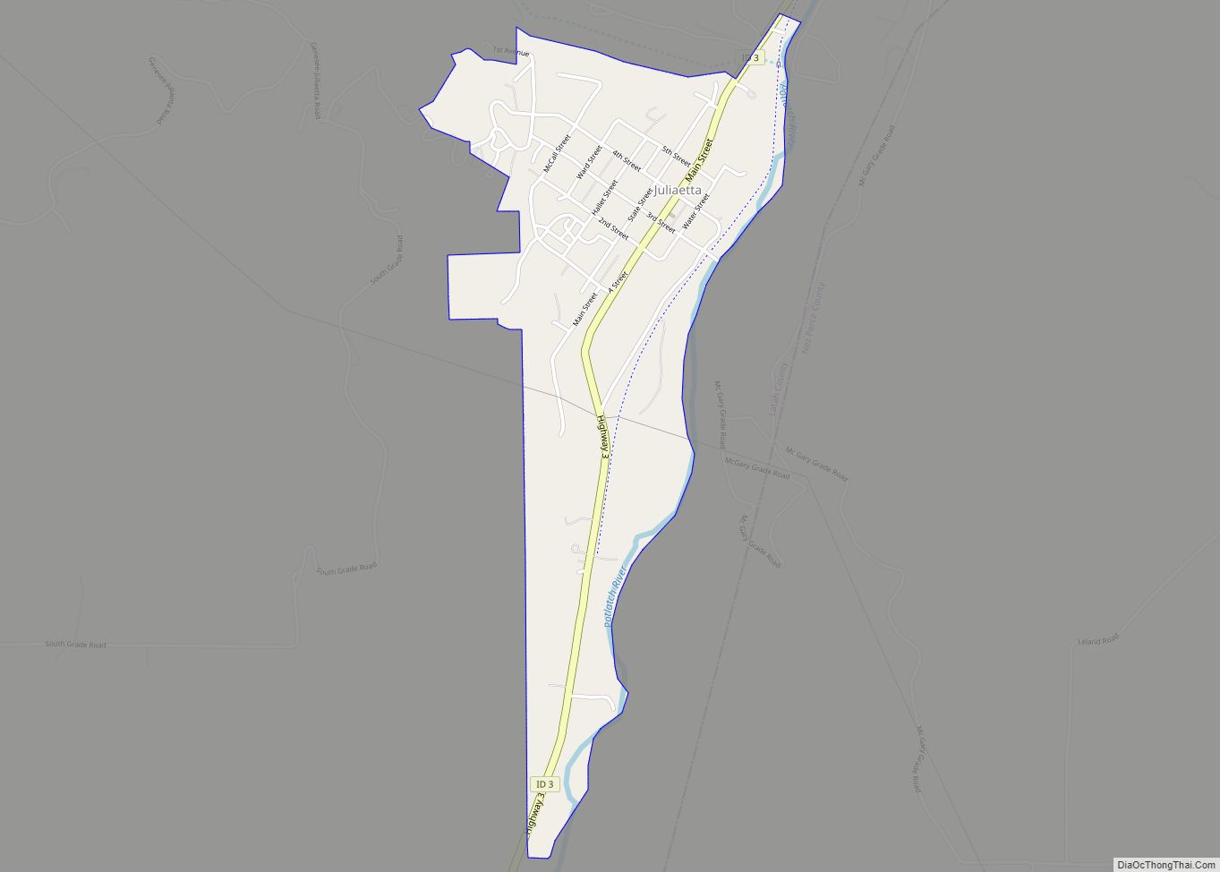
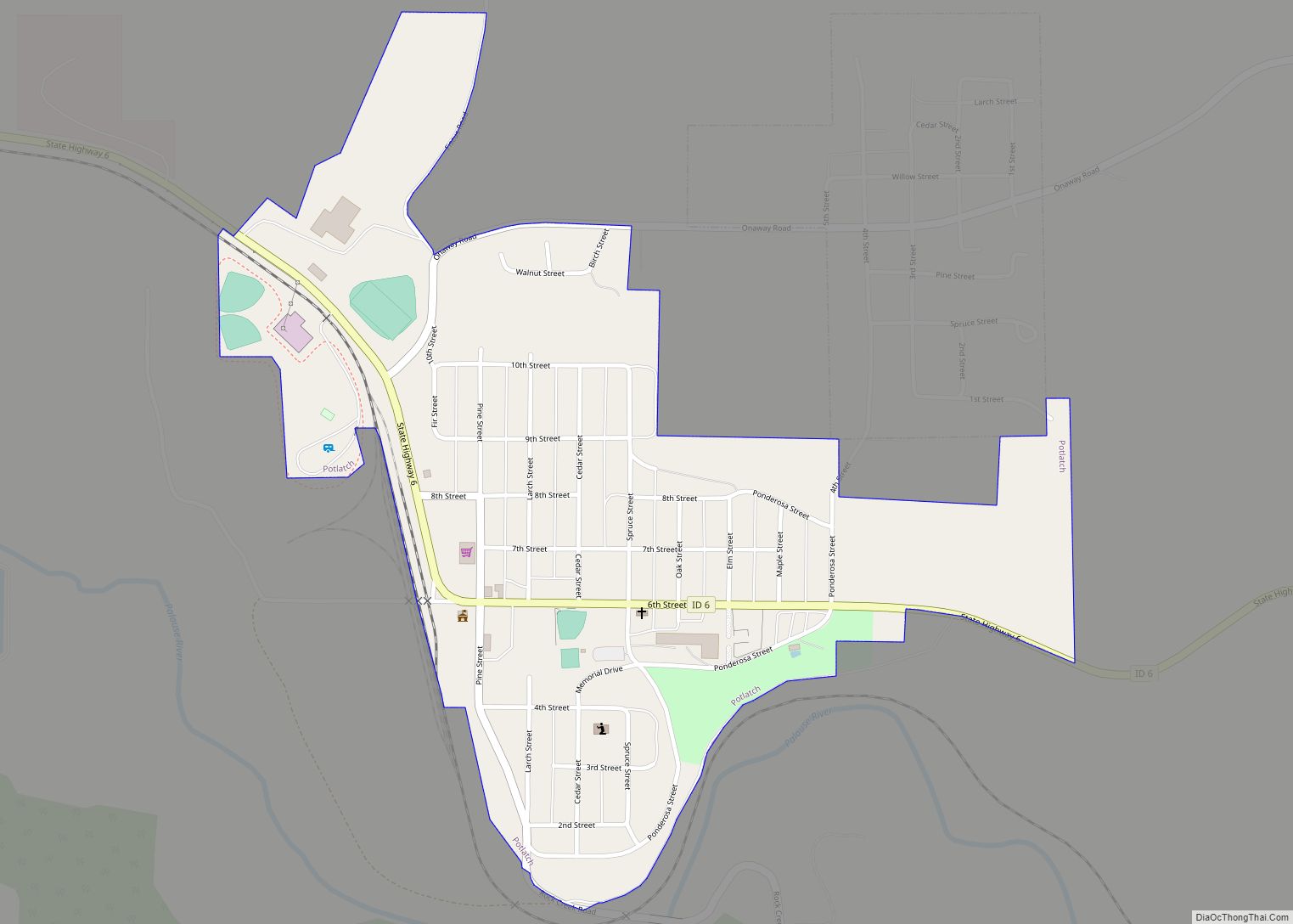
Juliaetta Road Map
Juliaetta city Satellite Map
Geography
Juliaetta is approximately 2 mi (3.2 km) north of the Nez Perce Indian Reservation; the Potlatch River runs parallel to Highway 3.
According to the United States Census Bureau, the city has a total area of 0.73 square miles (1.89 km), of which, 0.72 square miles (1.86 km) is land and 0.01 square miles (0.03 km) is water.
See also
Map of Idaho State and its subdivision:- Ada
- Adams
- Bannock
- Bear Lake
- Benewah
- Bingham
- Blaine
- Boise
- Bonner
- Bonneville
- Boundary
- Butte
- Camas
- Canyon
- Caribou
- Cassia
- Clark
- Clearwater
- Custer
- Elmore
- Franklin
- Fremont
- Gem
- Gooding
- Idaho
- Jefferson
- Jerome
- Kootenai
- Latah
- Lemhi
- Lewis
- Lincoln
- Madison
- Minidoka
- Nez Perce
- Oneida
- Owyhee
- Payette
- Power
- Shoshone
- Teton
- Twin Falls
- Valley
- Washington
- Alabama
- Alaska
- Arizona
- Arkansas
- California
- Colorado
- Connecticut
- Delaware
- District of Columbia
- Florida
- Georgia
- Hawaii
- Idaho
- Illinois
- Indiana
- Iowa
- Kansas
- Kentucky
- Louisiana
- Maine
- Maryland
- Massachusetts
- Michigan
- Minnesota
- Mississippi
- Missouri
- Montana
- Nebraska
- Nevada
- New Hampshire
- New Jersey
- New Mexico
- New York
- North Carolina
- North Dakota
- Ohio
- Oklahoma
- Oregon
- Pennsylvania
- Rhode Island
- South Carolina
- South Dakota
- Tennessee
- Texas
- Utah
- Vermont
- Virginia
- Washington
- West Virginia
- Wisconsin
- Wyoming
