Shelley is a city in Bingham County, Idaho. The population was 4,409 at the 2010 census. The mascot for the city’s high school is a Russet Burbank potato that wears a crown, robe and scepter.
Since 1927 Shelley has been home to the “Idaho Annual Spud Day”, which is celebrated on the 3rd Saturday of September. It typically features a parade, live bands, a Spud Tug, a spud-picking Contest, and free baked potatoes.
| Name: | Shelley city |
|---|---|
| LSAD Code: | 25 |
| LSAD Description: | city (suffix) |
| State: | Idaho |
| County: | Bingham County |
| Elevation: | 4,633 ft (1,412 m) |
| Total Area: | 1.81 sq mi (4.68 km²) |
| Land Area: | 1.81 sq mi (4.68 km²) |
| Water Area: | 0.00 sq mi (0.00 km²) |
| Total Population: | 4,409 |
| Population Density: | 2,472.87/sq mi (954.83/km²) |
| ZIP code: | 83274 |
| Area code: | 208, 986 |
| FIPS code: | 1673450 |
| GNISfeature ID: | 0397154 |
| Website: | ci.shelley.id.us |
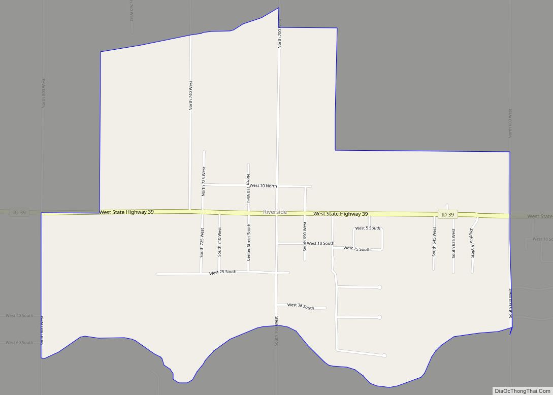
Online Interactive Map
Click on ![]() to view map in "full screen" mode.
to view map in "full screen" mode.
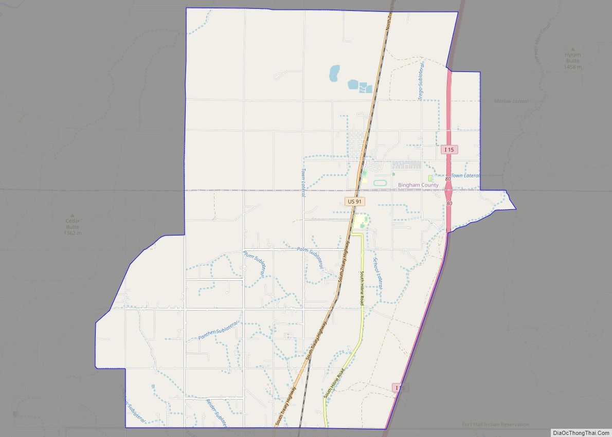
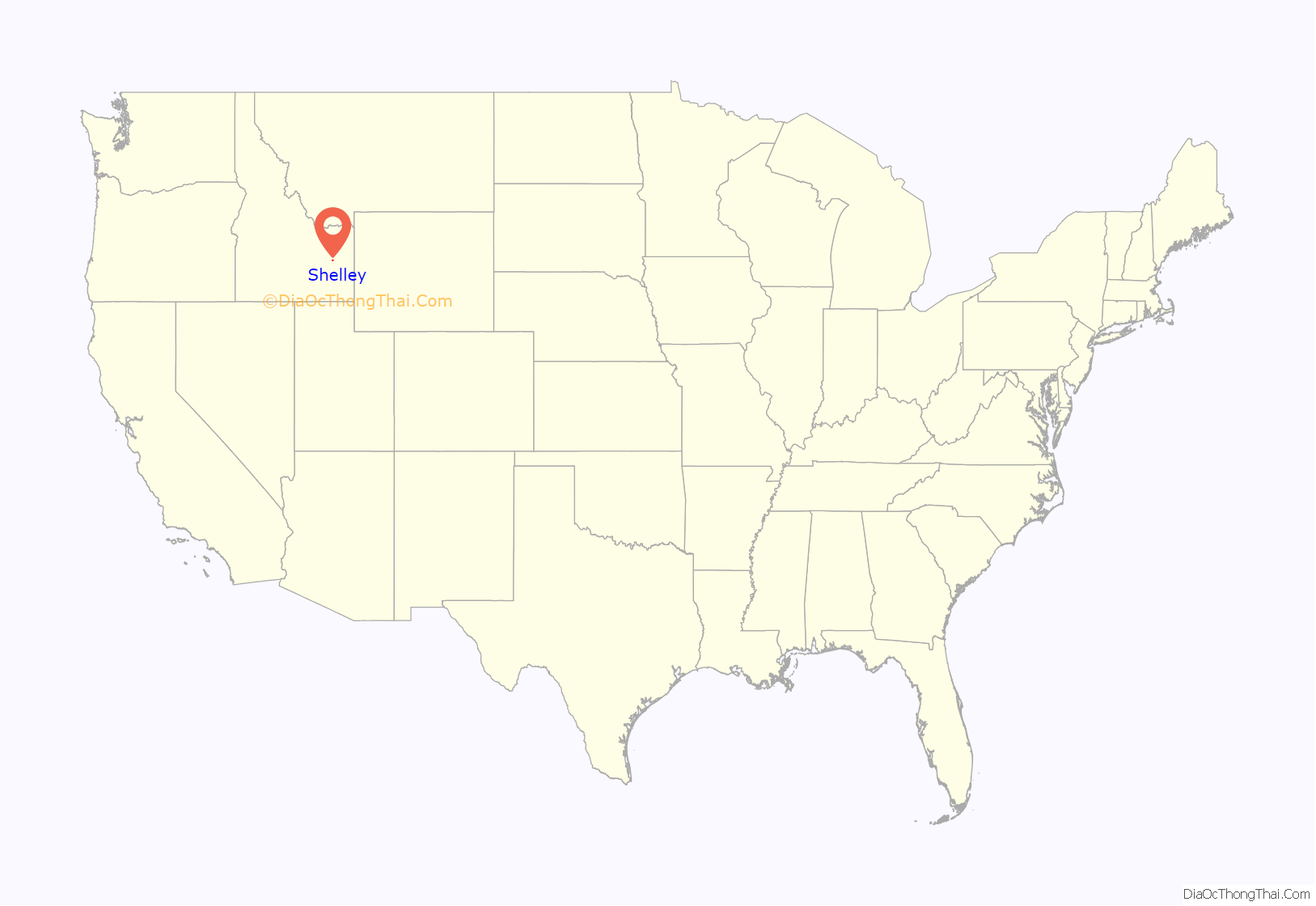
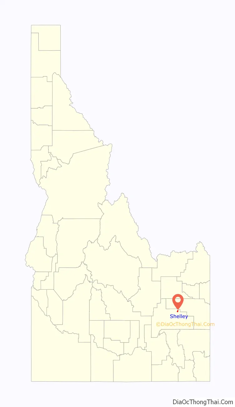
Shelley location map. Where is Shelley city?
History
Shelley was established in 1904. It was named for John F. Shelley, who moved to the area in 1892. He’d moved to the area intending to open a small store, and needed lumber and other supplies to build it. Since the site was some distance from the nearest existing community, he asked the railroad company to make a special stop to offload the supplies he’d ordered. They consented, provided he could offload the supplies in under 20 minutes. His daughter, Lottie, wrote the following in her personal history:
John F. Shelley
John F. Shelley and his wife stand in the background. In the foreground are the rest of his family: Mary, Tom, Charlotte (Lottie), Docia, Hannah Davis
On September 4, 1902 a large fire destroyed seven buildings on State Street. Only two buildings, a general merchandise store and Nalder’s furniture store, were saved. Soren Yorgesen, a local Justice of the Peace and proprietor of the first hotel in Shelley recounts the experience as follows:
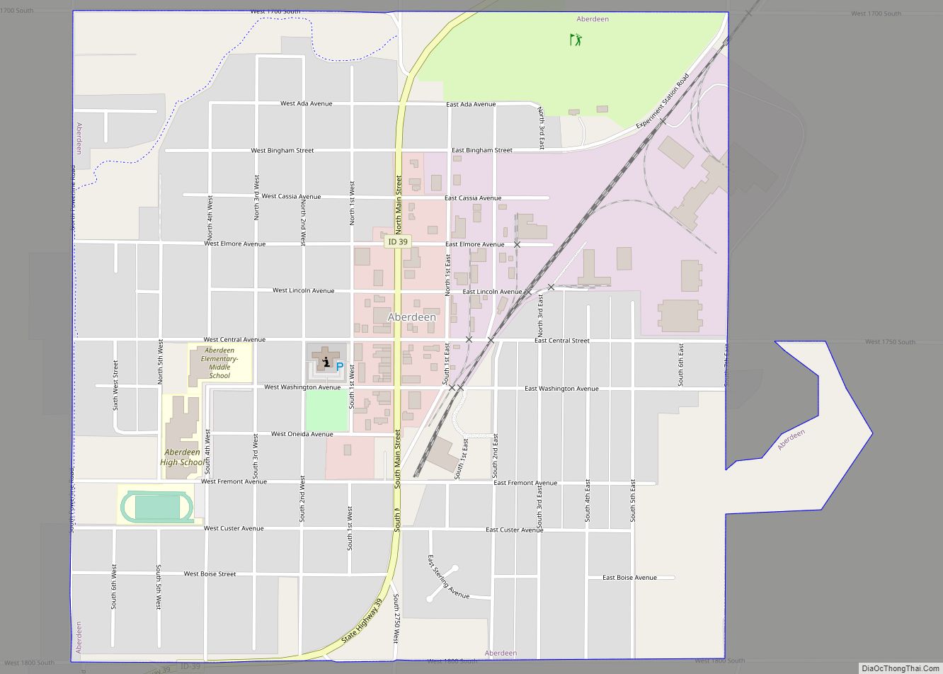
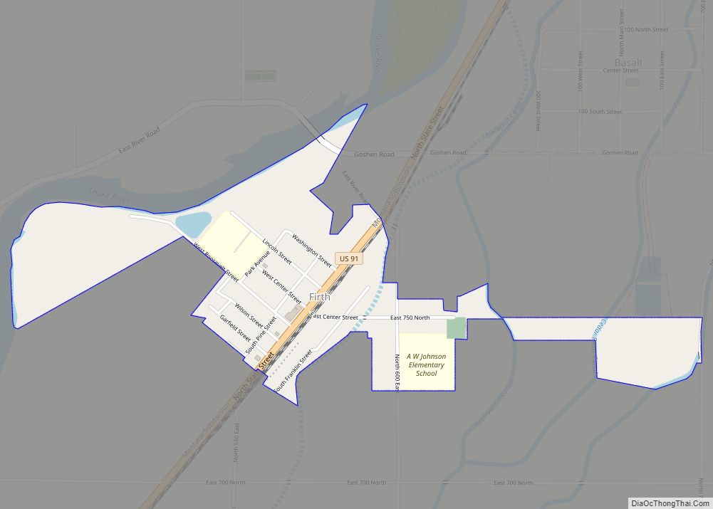
Shelley Road Map
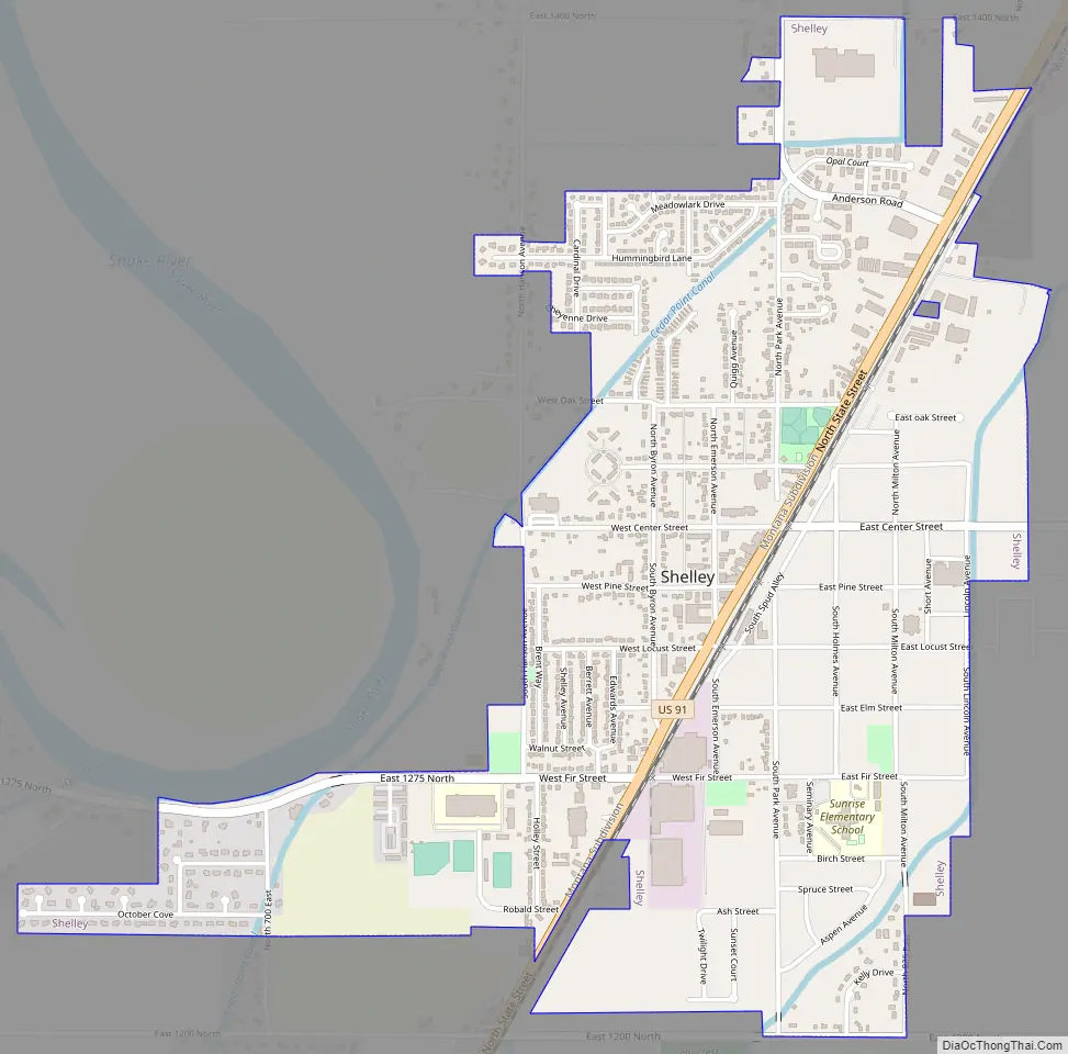
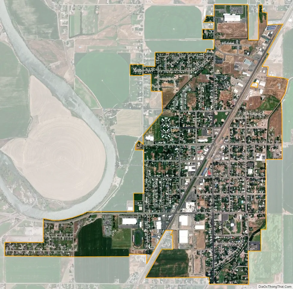
Shelley city Satellite Map
Geography
Shelley is located at 43°22′46″N 112°7′26″W / 43.37944°N 112.12389°W / 43.37944; -112.12389 (43.379490, -112.123846).
According to the United States Census Bureau, the city has a total area of 1.81 square miles (4.69 km), all of it land.
Shelley is located on the eastern side of the Snake River, facing the Blackfoot Mountains.
Greenbelt
Beginning at the fire department, across the street from Shelley High School, lies the Shelley Greenbelt. This fully paved trail, a collaborative project between Shelley and Bingham County, follows the Snake River for 2 miles before terminating at North Bingham County Park. The trail includes picnic tables, benches, and activities for families throughout.
See also
Map of Idaho State and its subdivision:- Ada
- Adams
- Bannock
- Bear Lake
- Benewah
- Bingham
- Blaine
- Boise
- Bonner
- Bonneville
- Boundary
- Butte
- Camas
- Canyon
- Caribou
- Cassia
- Clark
- Clearwater
- Custer
- Elmore
- Franklin
- Fremont
- Gem
- Gooding
- Idaho
- Jefferson
- Jerome
- Kootenai
- Latah
- Lemhi
- Lewis
- Lincoln
- Madison
- Minidoka
- Nez Perce
- Oneida
- Owyhee
- Payette
- Power
- Shoshone
- Teton
- Twin Falls
- Valley
- Washington
- Alabama
- Alaska
- Arizona
- Arkansas
- California
- Colorado
- Connecticut
- Delaware
- District of Columbia
- Florida
- Georgia
- Hawaii
- Idaho
- Illinois
- Indiana
- Iowa
- Kansas
- Kentucky
- Louisiana
- Maine
- Maryland
- Massachusetts
- Michigan
- Minnesota
- Mississippi
- Missouri
- Montana
- Nebraska
- Nevada
- New Hampshire
- New Jersey
- New Mexico
- New York
- North Carolina
- North Dakota
- Ohio
- Oklahoma
- Oregon
- Pennsylvania
- Rhode Island
- South Carolina
- South Dakota
- Tennessee
- Texas
- Utah
- Vermont
- Virginia
- Washington
- West Virginia
- Wisconsin
- Wyoming