Troy is a city in Latah County, Idaho, United States. Located in the eastern part of the Palouse region, its population was 862 at the 2010 census.
| Name: | Troy city |
|---|---|
| LSAD Code: | 25 |
| LSAD Description: | city (suffix) |
| State: | Idaho |
| County: | Latah County |
| Elevation: | 2,487 ft (758 m) |
| Total Area: | 0.79 sq mi (2.05 km²) |
| Land Area: | 0.79 sq mi (2.05 km²) |
| Water Area: | 0.00 sq mi (0.00 km²) |
| Total Population: | 862 |
| Population Density: | 1,131.48/sq mi (436.77/km²) |
| ZIP code: | 83871 |
| Area code: | 208 |
| FIPS code: | 1682360 |
| GNISfeature ID: | 0400145 |
| Website: | www.troyidaho.net |
Online Interactive Map
Click on ![]() to view map in "full screen" mode.
to view map in "full screen" mode.
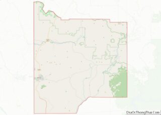
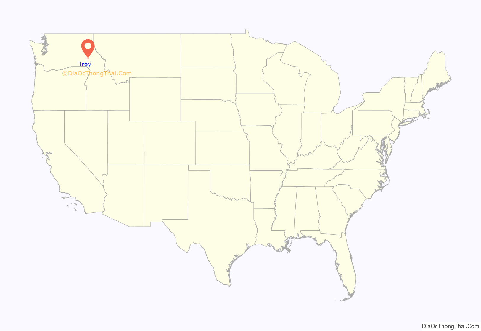
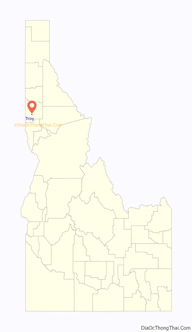
Troy location map. Where is Troy city?
History
The community was originally known as Huffs Gulch when J. Wesley Seat homesteaded in the area in 1885. In 1890, area businessman John P. Vollmer rechristened the area with his own surname when he brought the railroad through. Vollmer gained much of his 30,000 acres (47 sq mi; 120 km) of land by foreclosing on the bank loans of local farmers. This made him so unpopular that in 1897 the residents decided to rename the town. Local legend states that the name Troy was selected when a Greek railroad worker offered free shots of whiskey to any who would support the name.
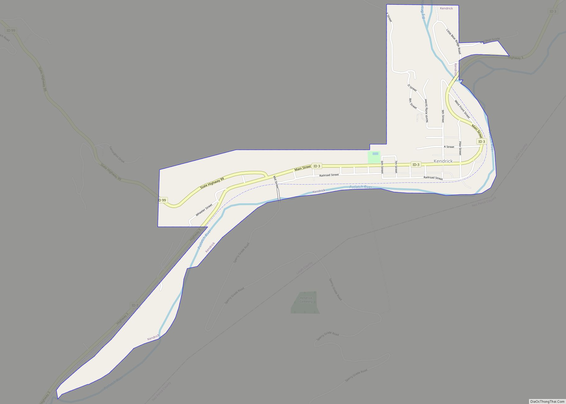
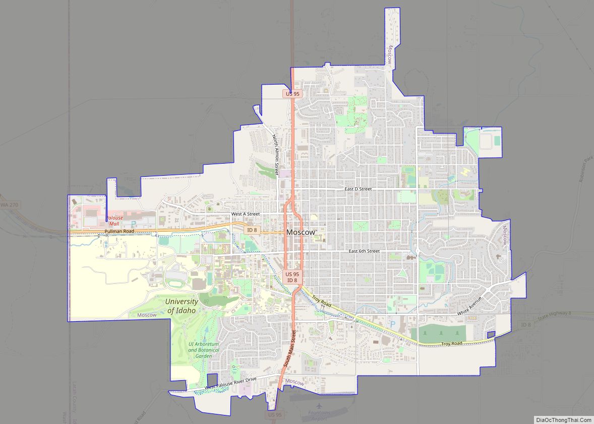
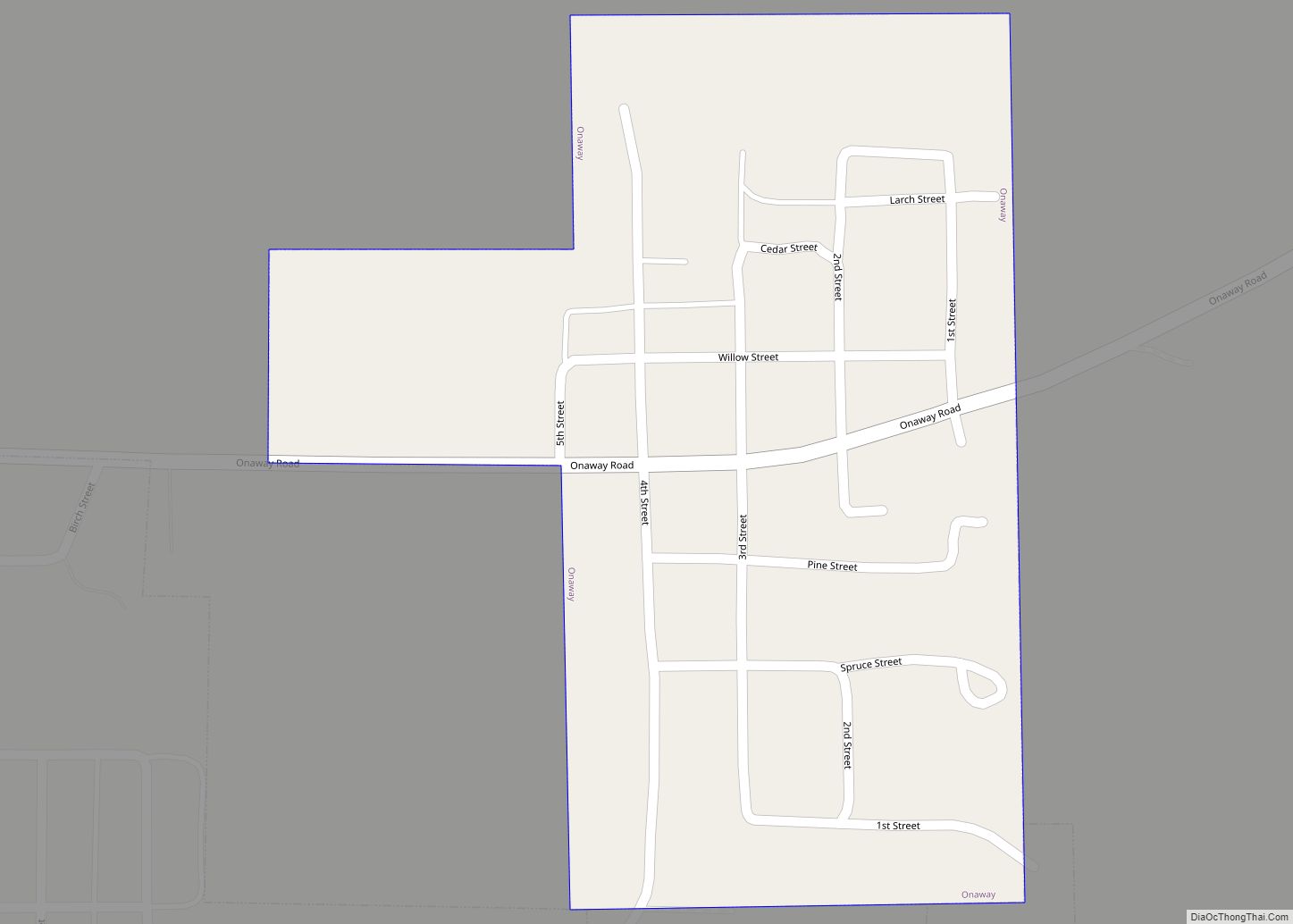
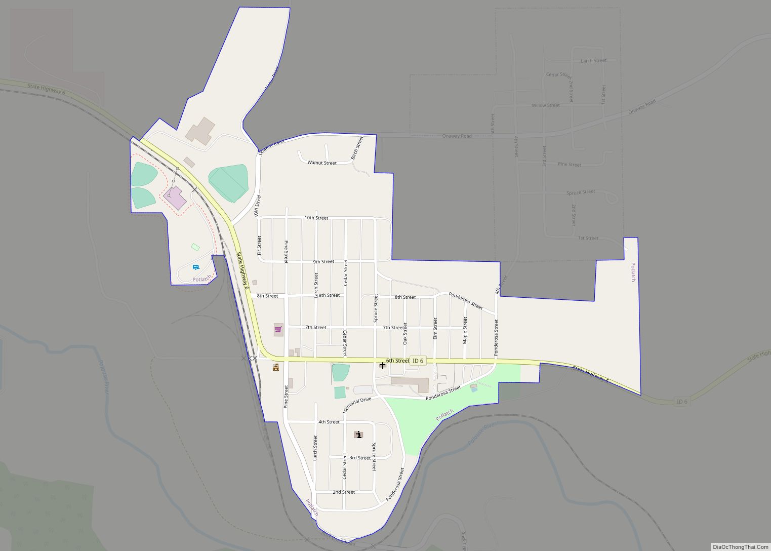
Troy Road Map
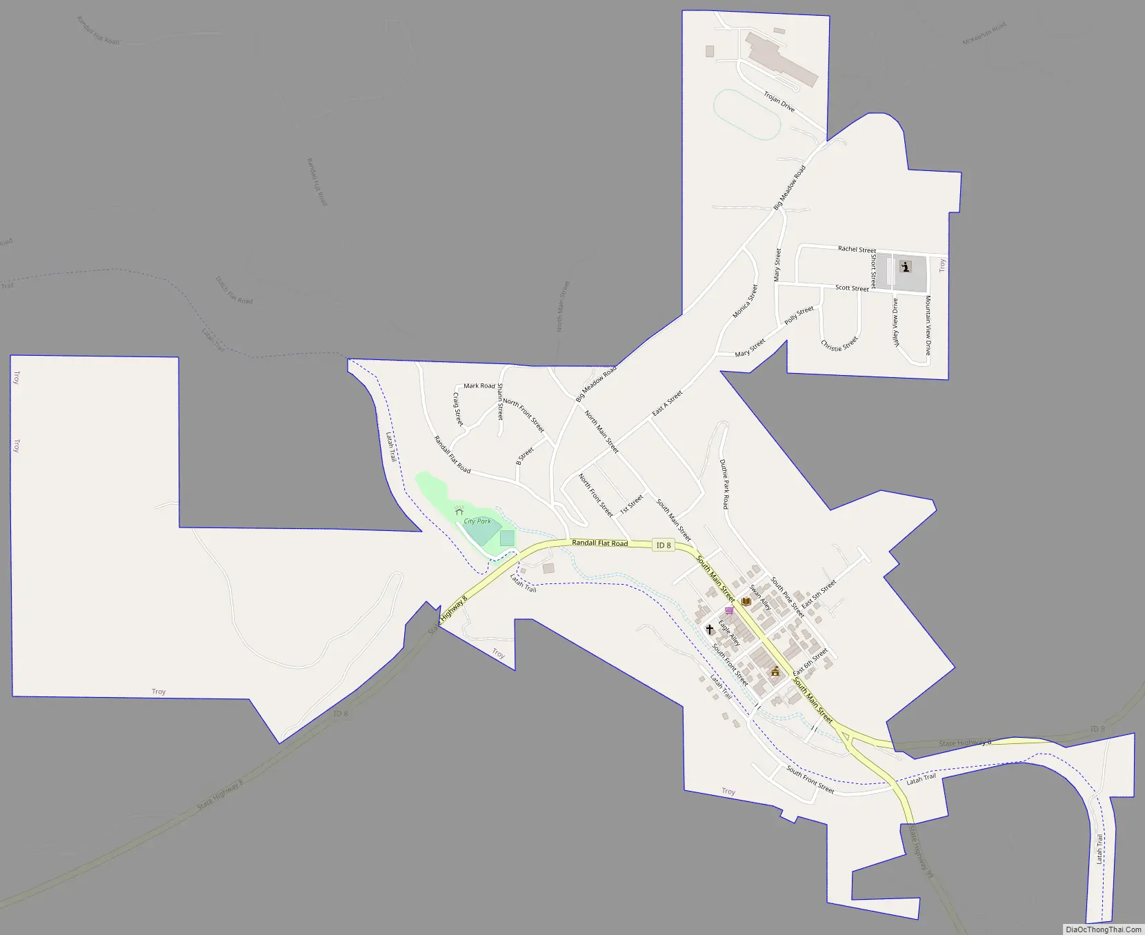
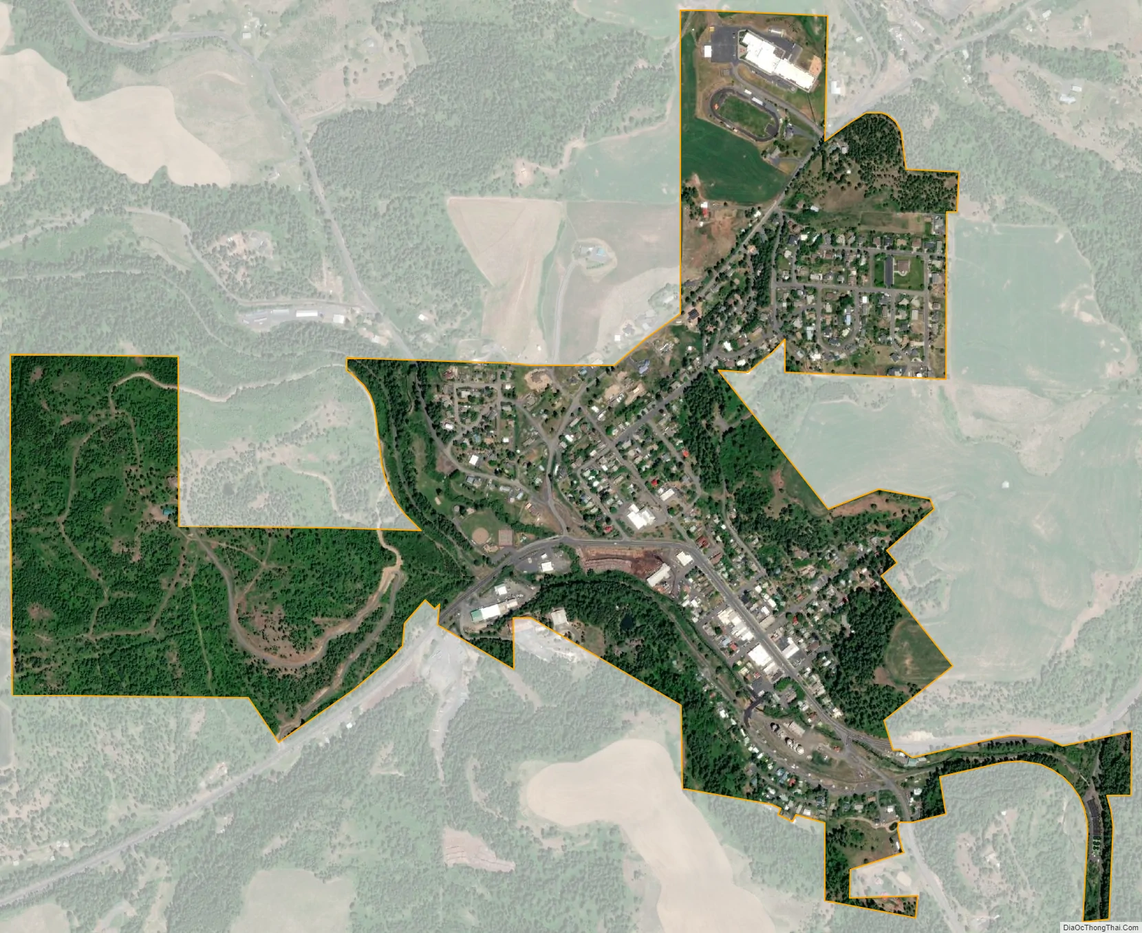
Troy city Satellite Map
Geography
According to the United States Census Bureau, the city has a total area of 0.79 square miles (2.05 km), all of it land.
See also
Map of Idaho State and its subdivision:- Ada
- Adams
- Bannock
- Bear Lake
- Benewah
- Bingham
- Blaine
- Boise
- Bonner
- Bonneville
- Boundary
- Butte
- Camas
- Canyon
- Caribou
- Cassia
- Clark
- Clearwater
- Custer
- Elmore
- Franklin
- Fremont
- Gem
- Gooding
- Idaho
- Jefferson
- Jerome
- Kootenai
- Latah
- Lemhi
- Lewis
- Lincoln
- Madison
- Minidoka
- Nez Perce
- Oneida
- Owyhee
- Payette
- Power
- Shoshone
- Teton
- Twin Falls
- Valley
- Washington
- Alabama
- Alaska
- Arizona
- Arkansas
- California
- Colorado
- Connecticut
- Delaware
- District of Columbia
- Florida
- Georgia
- Hawaii
- Idaho
- Illinois
- Indiana
- Iowa
- Kansas
- Kentucky
- Louisiana
- Maine
- Maryland
- Massachusetts
- Michigan
- Minnesota
- Mississippi
- Missouri
- Montana
- Nebraska
- Nevada
- New Hampshire
- New Jersey
- New Mexico
- New York
- North Carolina
- North Dakota
- Ohio
- Oklahoma
- Oregon
- Pennsylvania
- Rhode Island
- South Carolina
- South Dakota
- Tennessee
- Texas
- Utah
- Vermont
- Virginia
- Washington
- West Virginia
- Wisconsin
- Wyoming