Coushatta is a town in, and the parish seat of, rural Red River Parish in north Louisiana, United States. It is situated on the east bank of the Red River. The community is approximately 45 miles south of Shreveport on U.S. Highway 71. The population, 2,299 at the 2000 census, is nearly two-thirds African American, most with long family histories in the area. The 2010 census, however, reported 1,964 residents, a decline of 335 persons, or nearly 15 percent during the course of the preceding decade. In 2020, its population was 1,752. The city is named after the Coushatta, a Native American nation indigenous to the region.
| Name: | Coushatta town |
|---|---|
| LSAD Code: | 43 |
| LSAD Description: | town (suffix) |
| State: | Louisiana |
| County: | Red River Parish |
| Elevation: | 141 ft (43 m) |
| Total Area: | 3.44 sq mi (8.90 km²) |
| Land Area: | 3.34 sq mi (8.65 km²) |
| Water Area: | 0.10 sq mi (0.25 km²) |
| Total Population: | 1,752 |
| Population Density: | 524.55/sq mi (202.52/km²) |
| Area code: | 318 |
| FIPS code: | 2218055 |
| Website: | townofcoushatta.com |
Online Interactive Map
Click on ![]() to view map in "full screen" mode.
to view map in "full screen" mode.
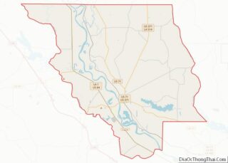
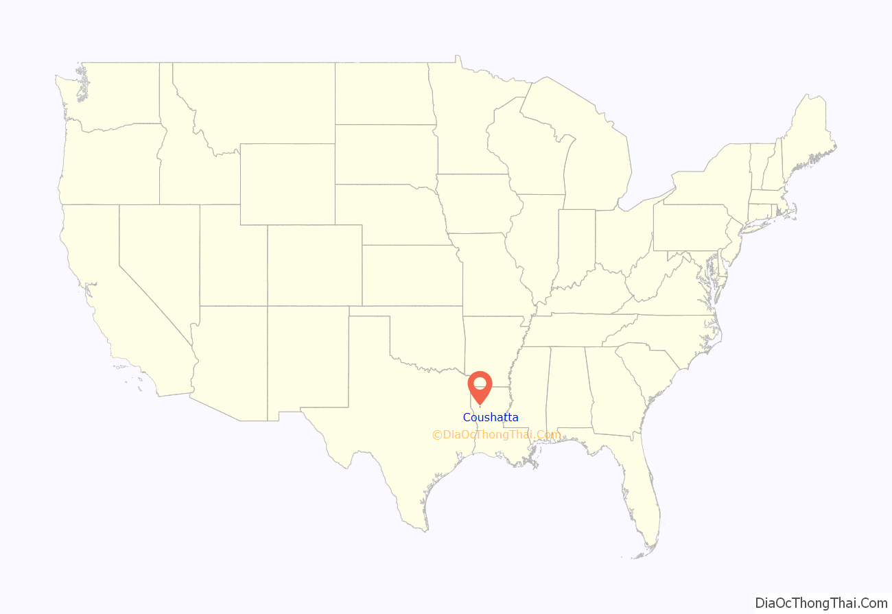
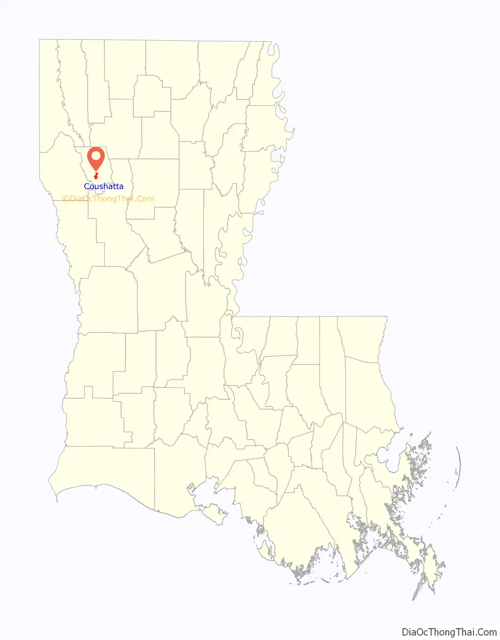
Coushatta location map. Where is Coushatta town?
History
Red River Parish and the Red River Valley were areas of unrest and white paramilitary activity and violence after the Civil War, and especially during the 1870s of Reconstruction. The parish developed around cotton cultivation and enslaved African Americans who far outnumbered the whites. After the war, white planters and farmers tried to reestablish dominance over a majority of the population. With emancipation and being granted citizenship and suffrage, African Americans tried to create their own lives.
Formed in May 1874 from white militias, the White League in Louisiana was increasingly well-organized in rural areas like Red River Parish. It worked to turn out the Democratic Party, as well as suppress freedmen’s civil rights and voting rights. It used violence against officeholders, running some out of town and killing others, and acted near elections to suppress black and white Republican voter turnout.
In one of the more flagrant examples of violence, the White League in August 1874 captured six Republican officials in Coushatta, made them sign a pledge to leave the state, and escorted them when they were assassinated on their departure from the state. Victims included the brother and three brothers-in-law of the Republican State Senator Marshall H. Twitchell. Twitchell’s wife and her brothers were from a family with long ties in Red River Parish. One of Twitchell’s several biographies is an unpublished 1969 dissertation at Mississippi State University in Starkville by the historian Jimmy G. Shoalmire, a Shreveport native and a specialist in Reconstruction studies.
The White League also killed five to twenty freedmen who had been escorting the Republicans and were witnesses to the assassinations. The events became known as the Coushatta Massacre and contributed to the Republican governor’s requesting more Federal troops from U.S. President U.S. Grant to help control the state. Ordinary Southerners wrote to the White House describing the terrible conditions and fear they lived under during these years.
With increased fraud, violence and intimidation, white Redeemer Democrats gained control of the state legislature in 1876 and established a new system of one-party rule. They passed laws making elections more complicated and a new constitution with provisions that effectively disenfranchised most African Americans and many poorer whites. This disenfranchisement persisted for decades into the 20th century before passage of civil rights legislation and the Voting Rights Act of 1965.
After World War II, Dr. Lawrence Edward L’Herisson, Sr. (1925–1988), a native of Bossier Parish, built a 23-bed regional rural hospital in Coushatta. He subsequently relocated to Shreveport with his wife, the former Mary Sloan (1925–2016). Coushatta is now served by the 25-bed Christus Coushatta Health Care Center.
Dr. L’Herisson’s father-in-law, whom he never met, Lawrence Wiley Sloan (1892–1935,) died in an accident during the early attempt to bring electricity to southern Tennessee. The Tennessee Valley Authority, launched in 1933, honored Sloan by designating his then nine-year-old daughter, Mary, to throw the switch that energized the region.
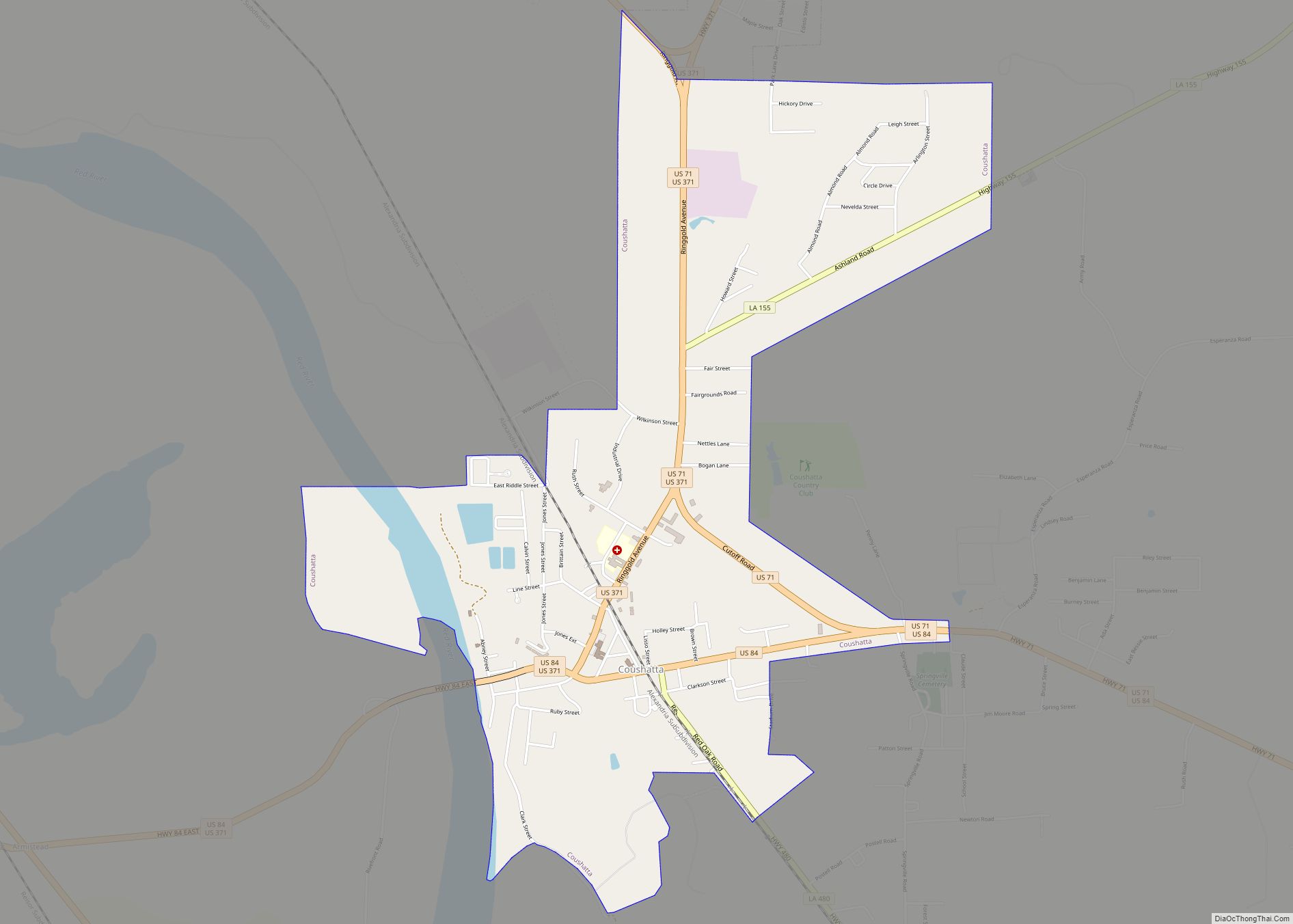
Coushatta Road Map
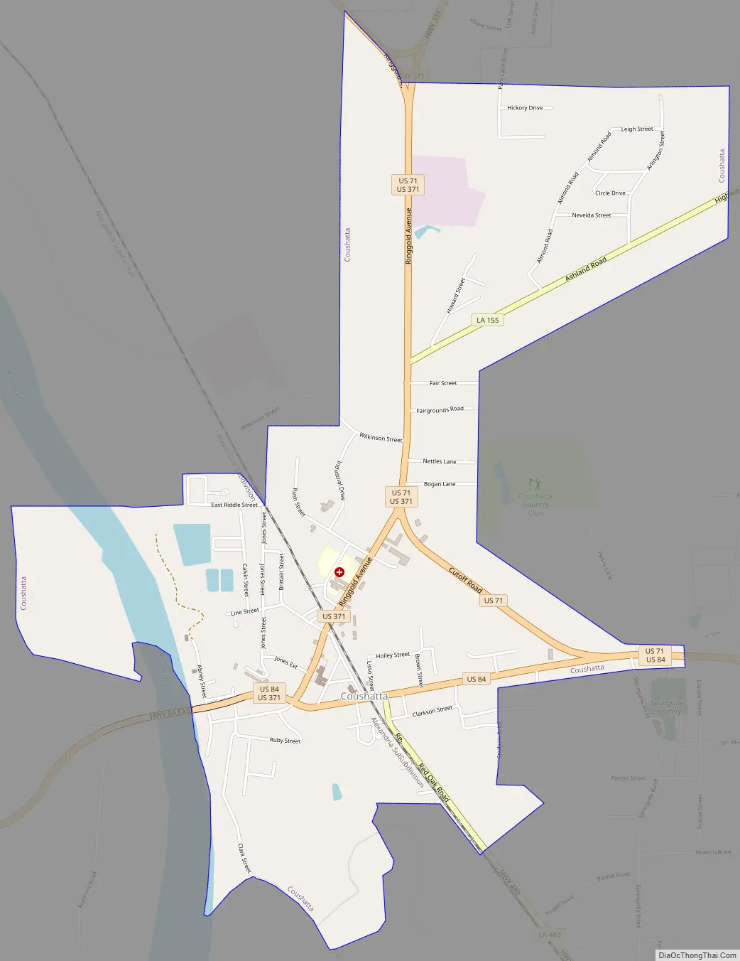
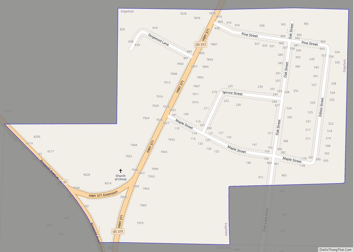
Coushatta city Satellite Map
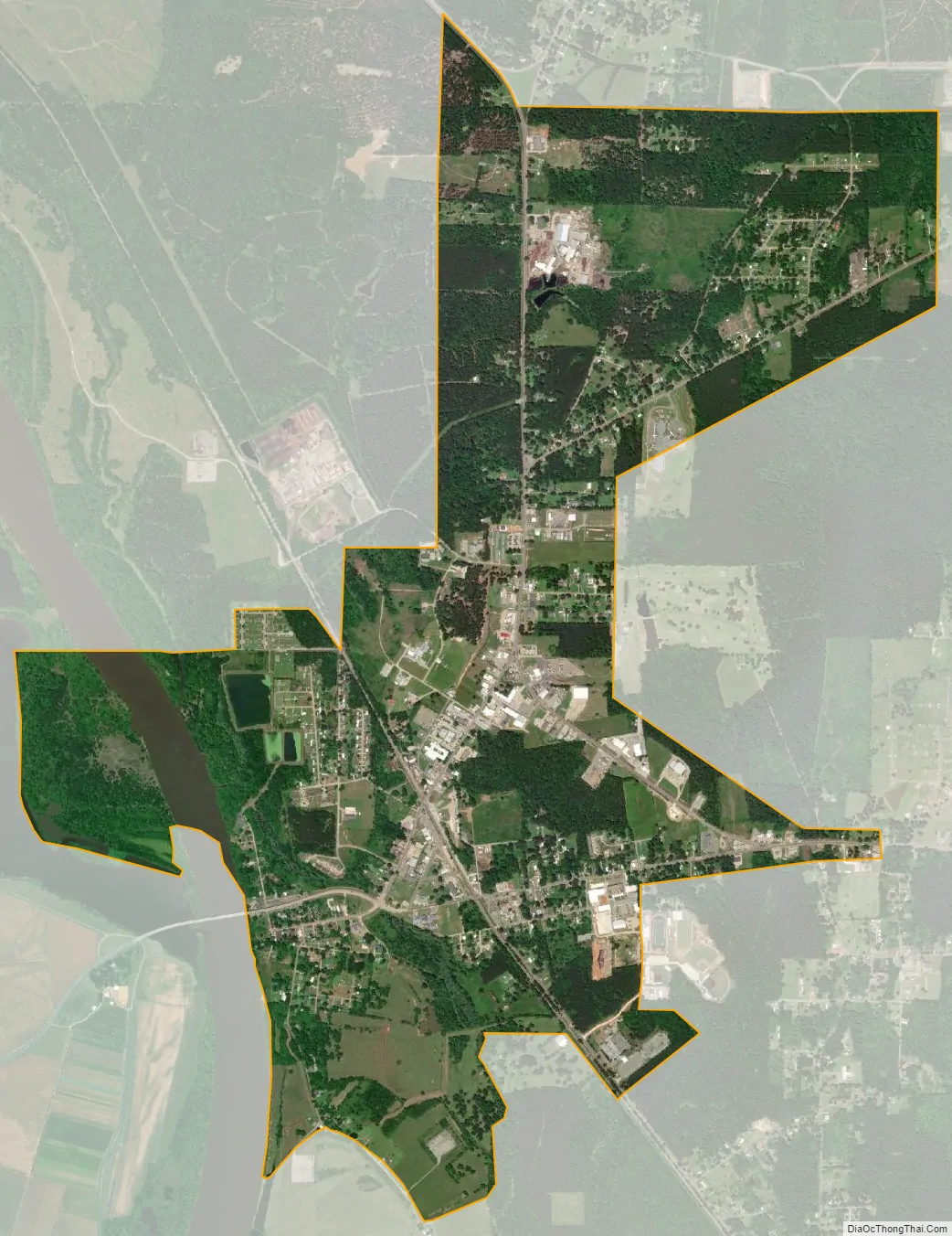
Geography
According to the United States Census Bureau, the town has a total area of 3.4 square miles (8.8 km), of which 3.3 square miles (8.5 km) is land and 0.1 square miles (0.26 km) (2.91%) is water.
North of Coushatta, Loggy Bayou, which flows from Lake Bistineau, joins the Red River.
Climate
This climatic region is typified by relatively small seasonal temperature variations, with warm to hot (and often humid) summers and mild winters. According to the Köppen Climate Classification system, Coushatta has a humid subtropical climate, abbreviated “Cfa” on climate maps.
See also
Map of Louisiana State and its subdivision:- Acadia
- Allen
- Ascension
- Assumption
- Avoyelles
- Beauregard
- Bienville
- Bossier
- Caddo
- Calcasieu
- Caldwell
- Cameron
- Catahoula
- Claiborne
- Concordia
- De Soto
- East Baton Rouge
- East Carroll
- East Feliciana
- Evangeline
- Franklin
- Grant
- Iberia
- Iberville
- Jackson
- Jefferson
- Jefferson Davis
- La Salle
- Lafayette
- Lafourche
- Lincoln
- Livingston
- Madison
- Morehouse
- Natchitoches
- Orleans
- Ouachita
- Plaquemines
- Pointe Coupee
- Rapides
- Red River
- Richland
- Sabine
- Saint Bernard
- Saint Charles
- Saint Helena
- Saint James
- Saint John the Baptist
- Saint Landry
- Saint Martin
- Saint Mary
- Saint Tammany
- Tangipahoa
- Tensas
- Terrebonne
- Union
- Vermilion
- Vernon
- Washington
- Webster
- West Baton Rouge
- West Carroll
- West Feliciana
- Winn
- Alabama
- Alaska
- Arizona
- Arkansas
- California
- Colorado
- Connecticut
- Delaware
- District of Columbia
- Florida
- Georgia
- Hawaii
- Idaho
- Illinois
- Indiana
- Iowa
- Kansas
- Kentucky
- Louisiana
- Maine
- Maryland
- Massachusetts
- Michigan
- Minnesota
- Mississippi
- Missouri
- Montana
- Nebraska
- Nevada
- New Hampshire
- New Jersey
- New Mexico
- New York
- North Carolina
- North Dakota
- Ohio
- Oklahoma
- Oregon
- Pennsylvania
- Rhode Island
- South Carolina
- South Dakota
- Tennessee
- Texas
- Utah
- Vermont
- Virginia
- Washington
- West Virginia
- Wisconsin
- Wyoming