Aquasco is an unincorporated area and census-designated place in southeastern Prince George’s County, Maryland, United States, surrounding the town of Eagle Harbor and bordering Charles County. As of the 2020 census, the CDP had a population of 913. Aquasco was home to the Aquasco Speedway.
| Name: | Aquasco CDP |
|---|---|
| LSAD Code: | 57 |
| LSAD Description: | CDP (suffix) |
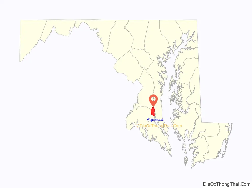
| State: | Maryland |
| County: | Prince George’s County |
| Total Area: | 22.11 sq mi (57.27 km²) |
| Land Area: | 19.78 sq mi (51.23 km²) |
| Water Area: | 2.33 sq mi (6.04 km²) |
| Total Population: | 913 |
| Population Density: | 46.16/sq mi (17.82/km²) |
| FIPS code: | 2401925 |
| GNISfeature ID: | 597013 |
Online Interactive Map
Click on ![]() to view map in "full screen" mode.
to view map in "full screen" mode.
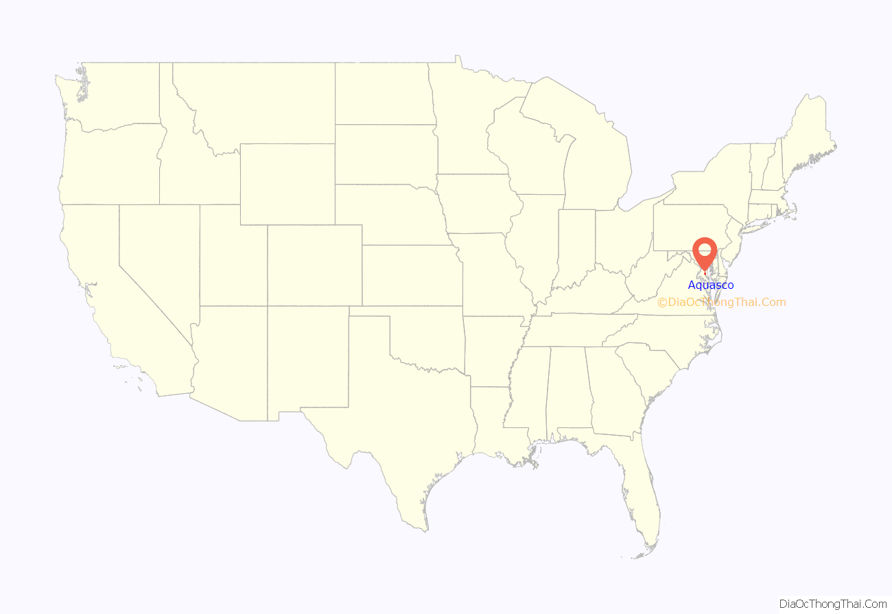
Aquasco location map. Where is Aquasco CDP?
History
Aquasco is named for a nearby tract first surveyed and patented in 1650. The name is derived from the Native American name Aquascake. Located between Swanson’s Creek and the Patuxent River, the community developed as an agricultural center for the production of tobacco. The main roads connecting the widely scattered tobacco plantations were established in the 18th century and, in the early 19th century, the village of Woodville began to form. It was named after the Wood family, early settlers of Aquasco. By mid-century, the village had a grist mill, several small stores, a tavern, blacksmith, school, post office, and Methodist and Episcopal churches.
Because of the number of plantations, the slave population was relatively high in this section of Prince George’s County. The Freedmen’s Bureau established a school at Woodville in 1867. The school later became home to John Wesley Methodist Episcopal Church. African Americans also worshiped at St. Mary’s Episcopal Church, established in 1848 as a mission church of St. Paul’s Parish Church, which later became St. Phillip’s Episcopal Church.
Historic sites
The following is a list of historic sites in Aquasco identified by the Maryland-National Capital Park and Planning Commission:
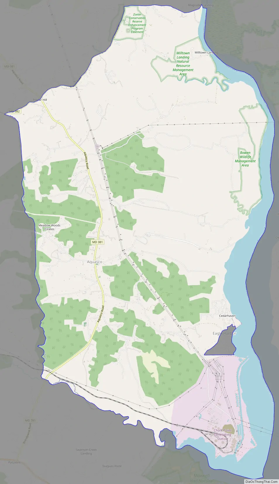
Aquasco Road Map
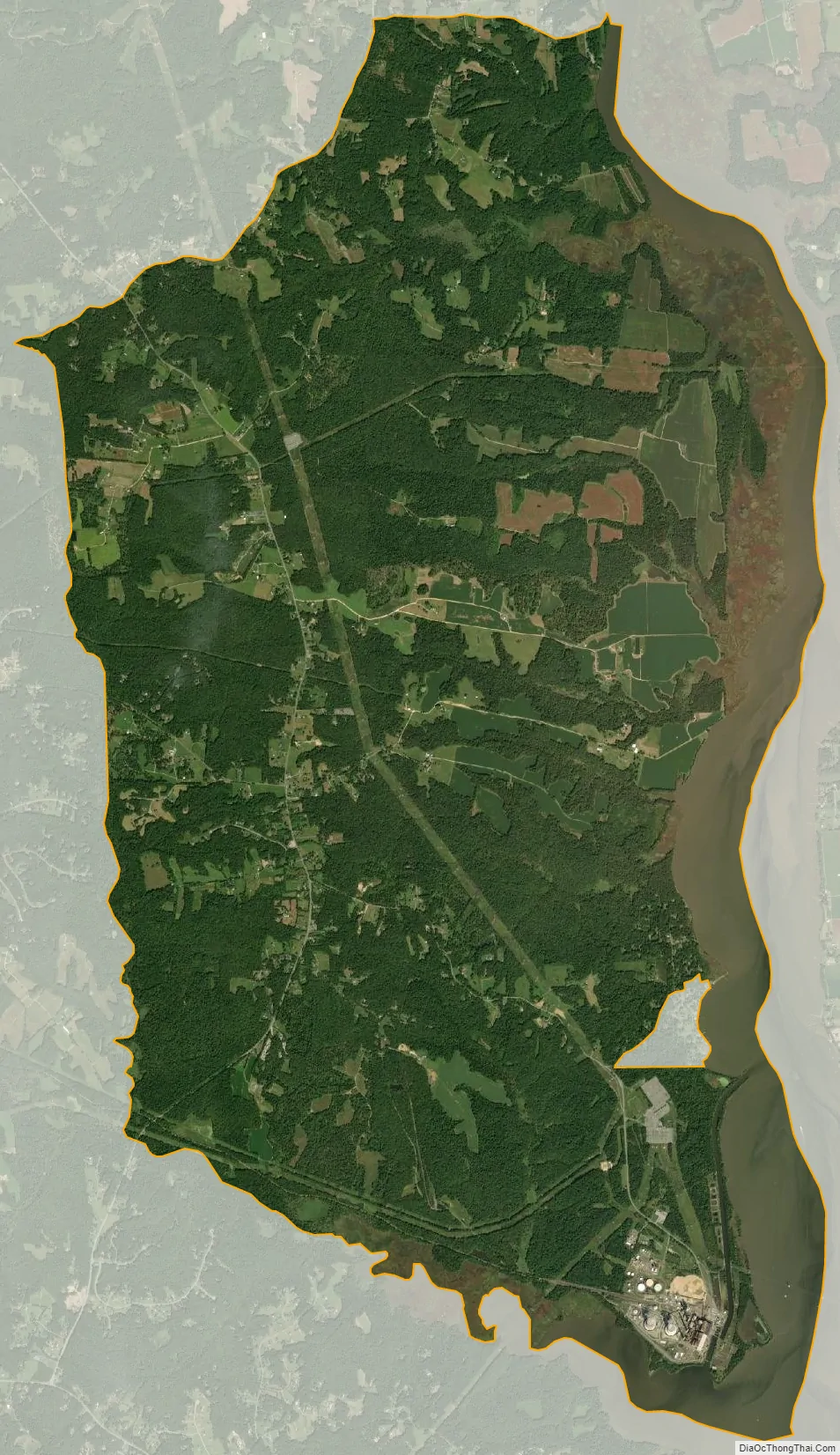
Aquasco city Satellite Map
Geography
Aquasco occupies the southeastern corner of Prince George’s County and is centered on the intersection of Maryland Route 381, Aquasco Road, and Maryland Route 233, Dr. Bowen Road. The Patuxent River forms the eastern boundary of the community. As of the 2010 census, the CDP had a total area of 22.1 square miles (57.3 km), of which 19.8 square miles (51.3 km) was land and 2.3 square miles (6.0 km), or 10.55%, was water, consisting primarily of the Patuxent River.
The Aquasco CDP contains the Chalk Point Generating Station and surrounds the tiny incorporated town of Eagle Harbor.
See also
Map of Maryland State and its subdivision: Map of other states:- Alabama
- Alaska
- Arizona
- Arkansas
- California
- Colorado
- Connecticut
- Delaware
- District of Columbia
- Florida
- Georgia
- Hawaii
- Idaho
- Illinois
- Indiana
- Iowa
- Kansas
- Kentucky
- Louisiana
- Maine
- Maryland
- Massachusetts
- Michigan
- Minnesota
- Mississippi
- Missouri
- Montana
- Nebraska
- Nevada
- New Hampshire
- New Jersey
- New Mexico
- New York
- North Carolina
- North Dakota
- Ohio
- Oklahoma
- Oregon
- Pennsylvania
- Rhode Island
- South Carolina
- South Dakota
- Tennessee
- Texas
- Utah
- Vermont
- Virginia
- Washington
- West Virginia
- Wisconsin
- Wyoming


