Baden is an unincorporated area and census-designated place in southeastern Prince George’s County, Maryland, United States. As of the 2020 census, the CDP had a population of 2,114.
| Name: | Baden CDP |
|---|---|
| LSAD Code: | 57 |
| LSAD Description: | CDP (suffix) |
| State: | Maryland |
| County: | Prince George’s County |
| Total Area: | 28.53 sq mi (73.89 km²) |
| Land Area: | 27.60 sq mi (71.49 km²) |
| Water Area: | 0.93 sq mi (2.40 km²) |
| Total Population: | 2,114 |
| Population Density: | 76.59/sq mi (29.57/km²) |
| FIPS code: | 2403500 |
| GNISfeature ID: | 597035 |
Online Interactive Map
Click on ![]() to view map in "full screen" mode.
to view map in "full screen" mode.
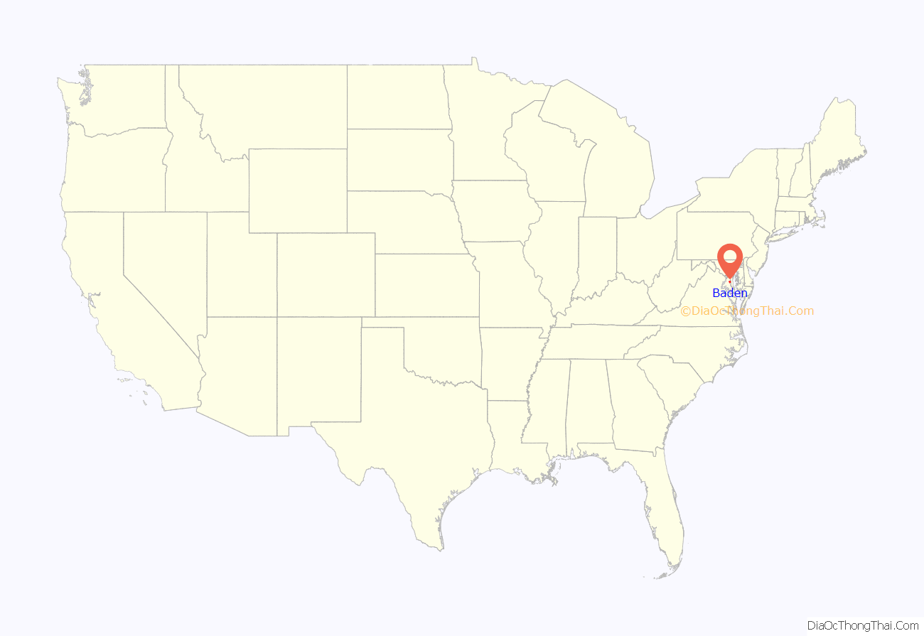
Baden location map. Where is Baden CDP?

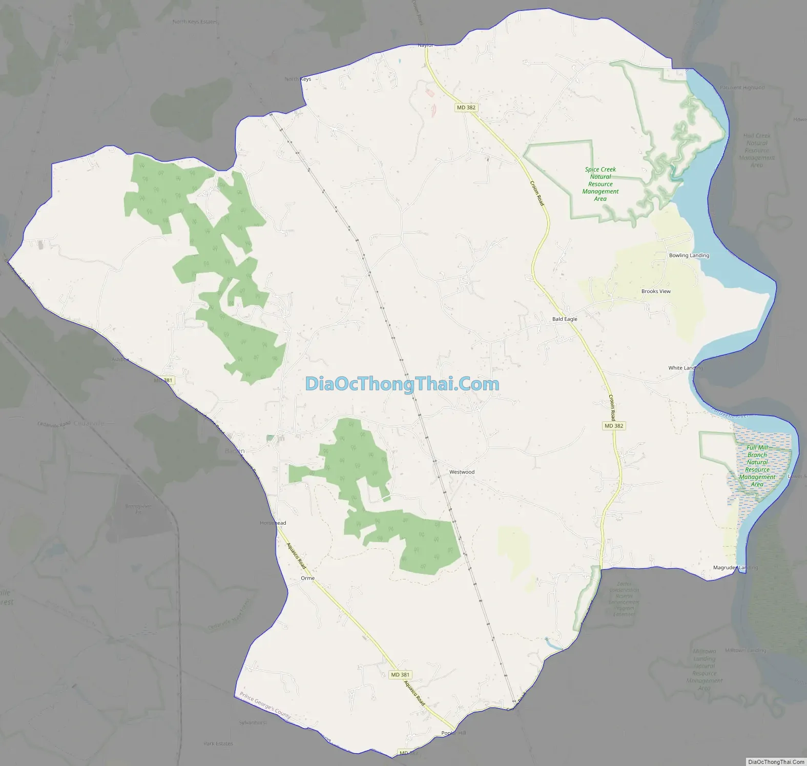
Baden Road Map
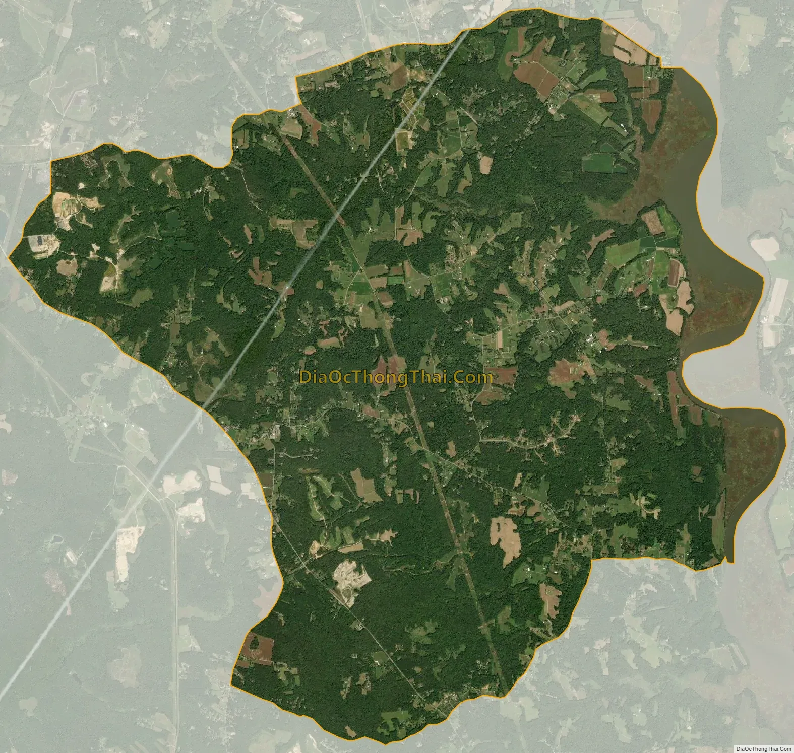
Baden city Satellite Map
Geography
As of the 2010 census, the CDP had a total area of 28.5 square miles (73.9 km), of which 27.7 square miles (71.7 km) was land and 0.85 square miles (2.2 km), or 10.55%, was water, consisting primarily of the Patuxent River, which forms the eastern boundary of the CDP, separating it from Calvert County. It’s 35 kilometres (22 mi) southeast of Washington D.C.
Baden is bordered to the south by Aquasco, to the southwest by Charles County, to the west by Cedarville, to the north by Croom, and to the east by Brandywine.
See also
Map of Maryland State and its subdivision: Map of other states:- Alabama
- Alaska
- Arizona
- Arkansas
- California
- Colorado
- Connecticut
- Delaware
- District of Columbia
- Florida
- Georgia
- Hawaii
- Idaho
- Illinois
- Indiana
- Iowa
- Kansas
- Kentucky
- Louisiana
- Maine
- Maryland
- Massachusetts
- Michigan
- Minnesota
- Mississippi
- Missouri
- Montana
- Nebraska
- Nevada
- New Hampshire
- New Jersey
- New Mexico
- New York
- North Carolina
- North Dakota
- Ohio
- Oklahoma
- Oregon
- Pennsylvania
- Rhode Island
- South Carolina
- South Dakota
- Tennessee
- Texas
- Utah
- Vermont
- Virginia
- Washington
- West Virginia
- Wisconsin
- Wyoming


