Clarksburg is a census-designated place and an unincorporated area in northern Montgomery County, Maryland, United States. It is located at the northern end of the Interstate 270 technology corridor, approximately four miles north of Germantown. As of the 2020 census, Clarksburg had a population of 29,051.
| Name: | Clarksburg CDP |
|---|---|
| LSAD Code: | 57 |
| LSAD Description: | CDP (suffix) |
| State: | Maryland |
| County: | Montgomery County |
| Founded: | 1752 |
| Elevation: | 663 ft (202 m) |
| Total Area: | 9.96 sq mi (25.79 km²) |
| Land Area: | 9.65 sq mi (24.99 km²) |
| Water Area: | 0.31 sq mi (0.80 km²) |
| Total Population: | 29,051 |
| Population Density: | 3,010.78/sq mi (1,162.51/km²) |
| ZIP code: | 20871 |
| Area code: | 301, 240 |
| FIPS code: | 2417350 |
| GNISfeature ID: | 0583799 |
Online Interactive Map
Click on ![]() to view map in "full screen" mode.
to view map in "full screen" mode.
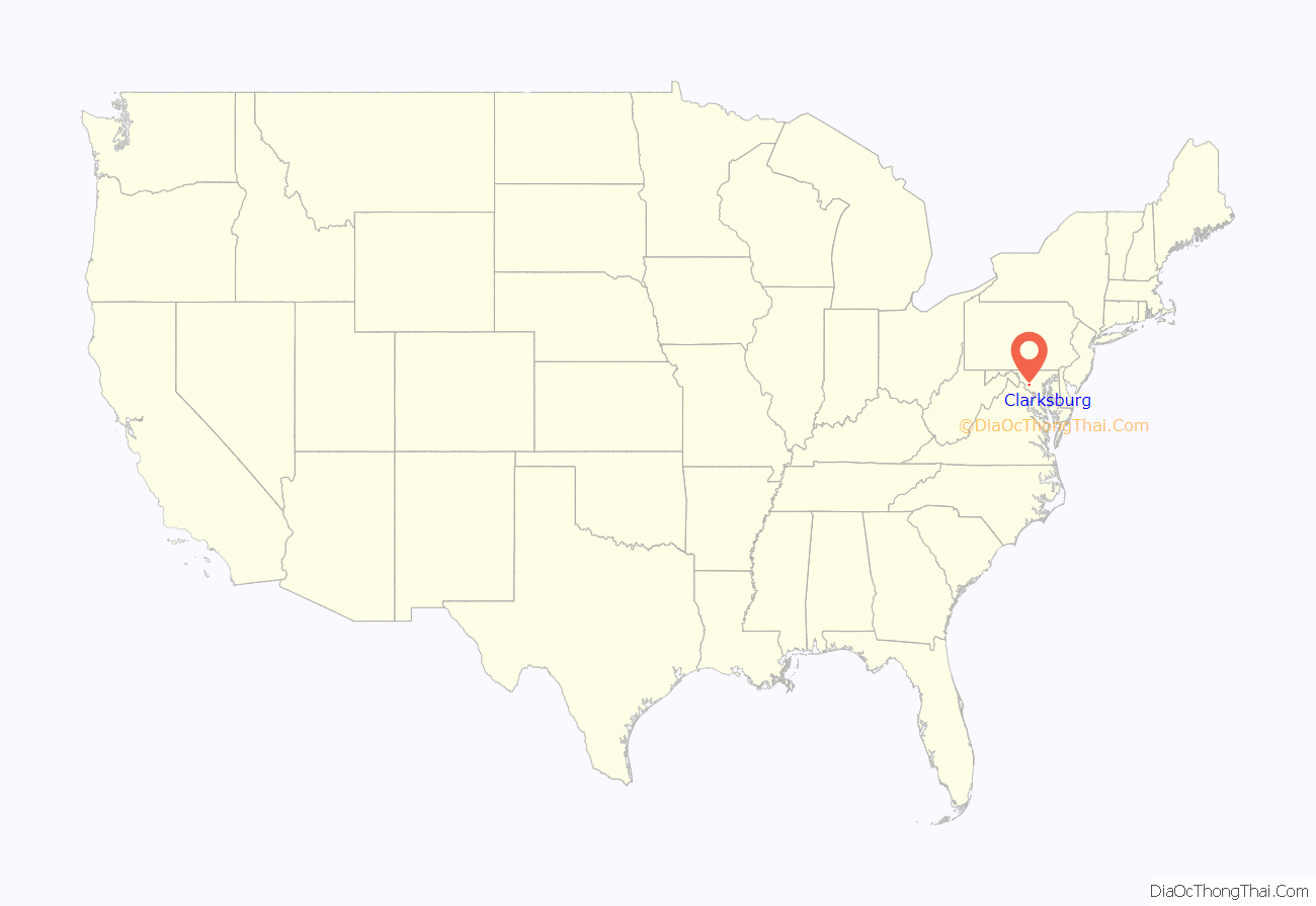
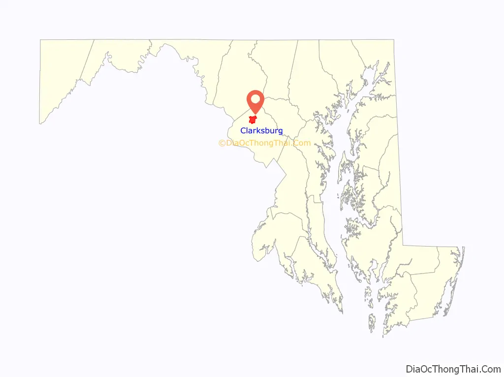
Clarksburg location map. Where is Clarksburg CDP?
History
Clarksburg is named for trader John Clarke, and was established at the intersection of the main road between Georgetown and Frederick and an old Seneca trail. One of its earliest white inhabitants was a man named Michael Ashford Dowden, who in 1752 received a patent for 40 acres (160,000 m) from the colonial government called “Hammer Hill”, and two years later permission to build an inn. The inn itself is a footnote in history, hosting the army of General Edward Braddock during the French and Indian War, serving as a meeting place for local Sons of Liberty in the years before the American Revolution, and possibly serving dinner to President Andrew Jackson on his way to his inauguration. Jamie, grandson of the trader, built a general store in the area around 1770, and over the next thirty years enough people moved to the area that Clark was appointed postmaster for the community. By 1875, Clarksburg was a major town in the northern part of the county, but the construction of the Baltimore and Ohio Railroad undermined its economy.
In 1964, the Montgomery County planning commission decided that Clarksburg would be the last community along Interstate 270 that would have large-scale development. The Montgomery County Council adopted a master plan for Clarksburg in 1968, which rezoned land for a mix of townhouses and single-family houses. Another master plan was adopted in 1994. This master plan set forth the areas to be developed, with targets for housing, retail, employment and transit. A network of roads and infrastructure was mapped out to handle the growth expected as the town grew to 40,000 residents. The center of this plan is the Town Center District, which contains a retail area connected to the historic town business district. It was planned to be built early on, but had not broken ground by 2010, to the dismay of some residents. A Harris Teeter-anchored shopping center opened in 2013, and a large mall called Clarksburg Premium Outlets opened in October 2016. The shopping complex has over 90 stores and provides jobs for the region.
In June 2015, the Clarksburg Chamber of Commerce held a contest and chose a flag designed by Shaneea Peek. The inspiration of the flag was derived from Dowden’s Ordinary which is a historic landmark of the community of Clarksburg.
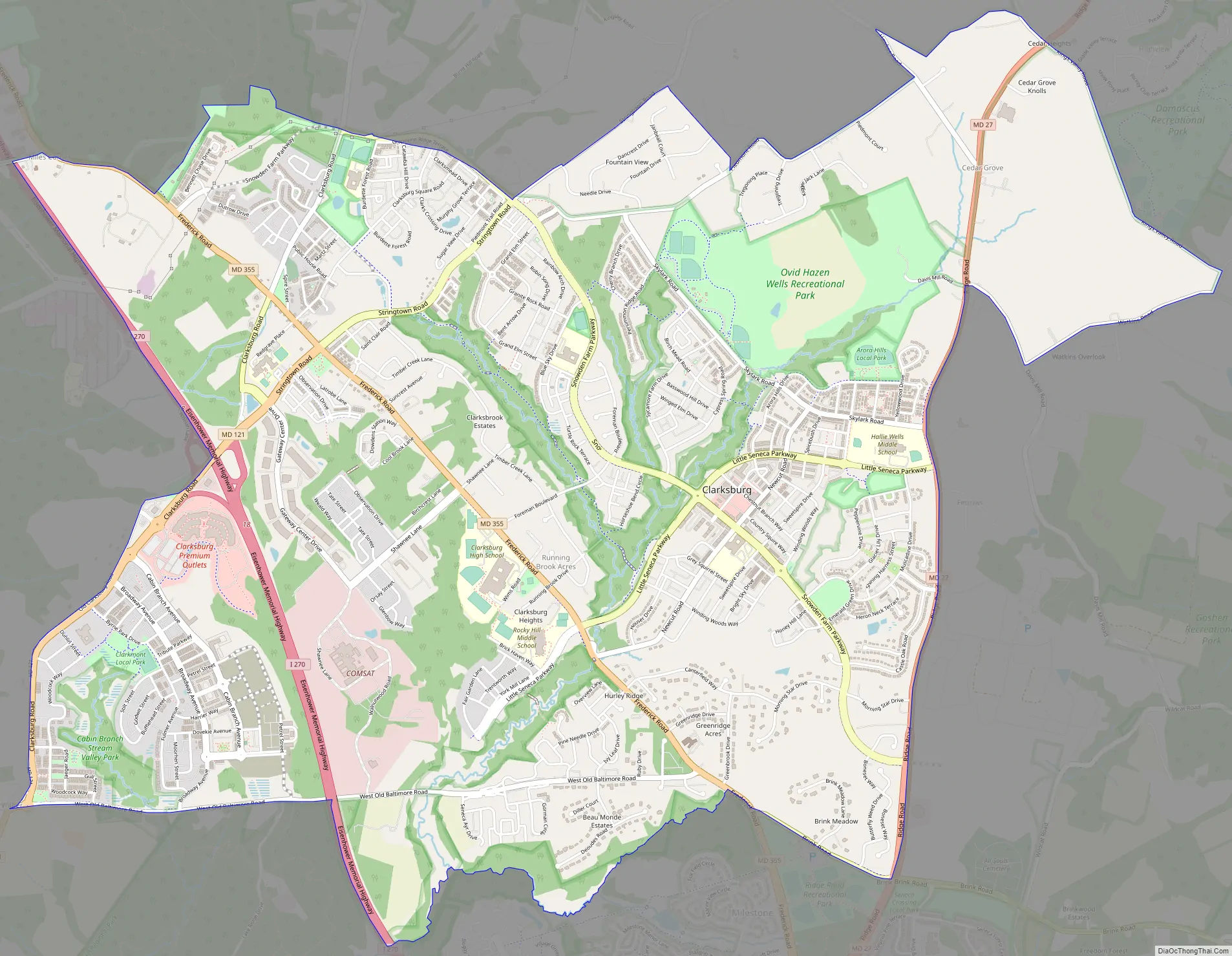
Clarksburg Road Map
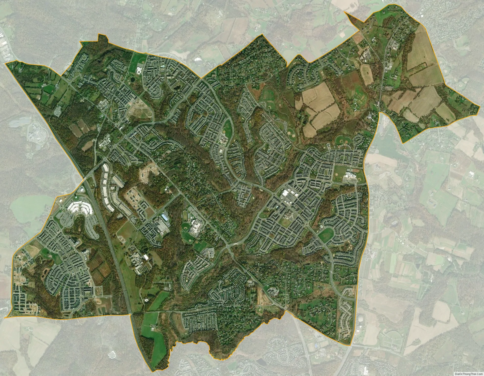
Clarksburg city Satellite Map
Geography
As an unincorporated area, Clarksburg’s boundaries are not officially defined. Clarksburg is, however, recognized by the United States Census Bureau as a census-designated place, and by the United States Geological Survey as a populated place.
According to the United States Census Bureau, it has a total area of 8.3 square miles (21 km), of which 8.2 square miles (21 km) is land and 0.1 square miles (0.26 km) (1.82%) is water.
Roads in Clarksburg include MD 355, I-270, and MD 121.
See also
Map of Maryland State and its subdivision: Map of other states:- Alabama
- Alaska
- Arizona
- Arkansas
- California
- Colorado
- Connecticut
- Delaware
- District of Columbia
- Florida
- Georgia
- Hawaii
- Idaho
- Illinois
- Indiana
- Iowa
- Kansas
- Kentucky
- Louisiana
- Maine
- Maryland
- Massachusetts
- Michigan
- Minnesota
- Mississippi
- Missouri
- Montana
- Nebraska
- Nevada
- New Hampshire
- New Jersey
- New Mexico
- New York
- North Carolina
- North Dakota
- Ohio
- Oklahoma
- Oregon
- Pennsylvania
- Rhode Island
- South Carolina
- South Dakota
- Tennessee
- Texas
- Utah
- Vermont
- Virginia
- Washington
- West Virginia
- Wisconsin
- Wyoming


