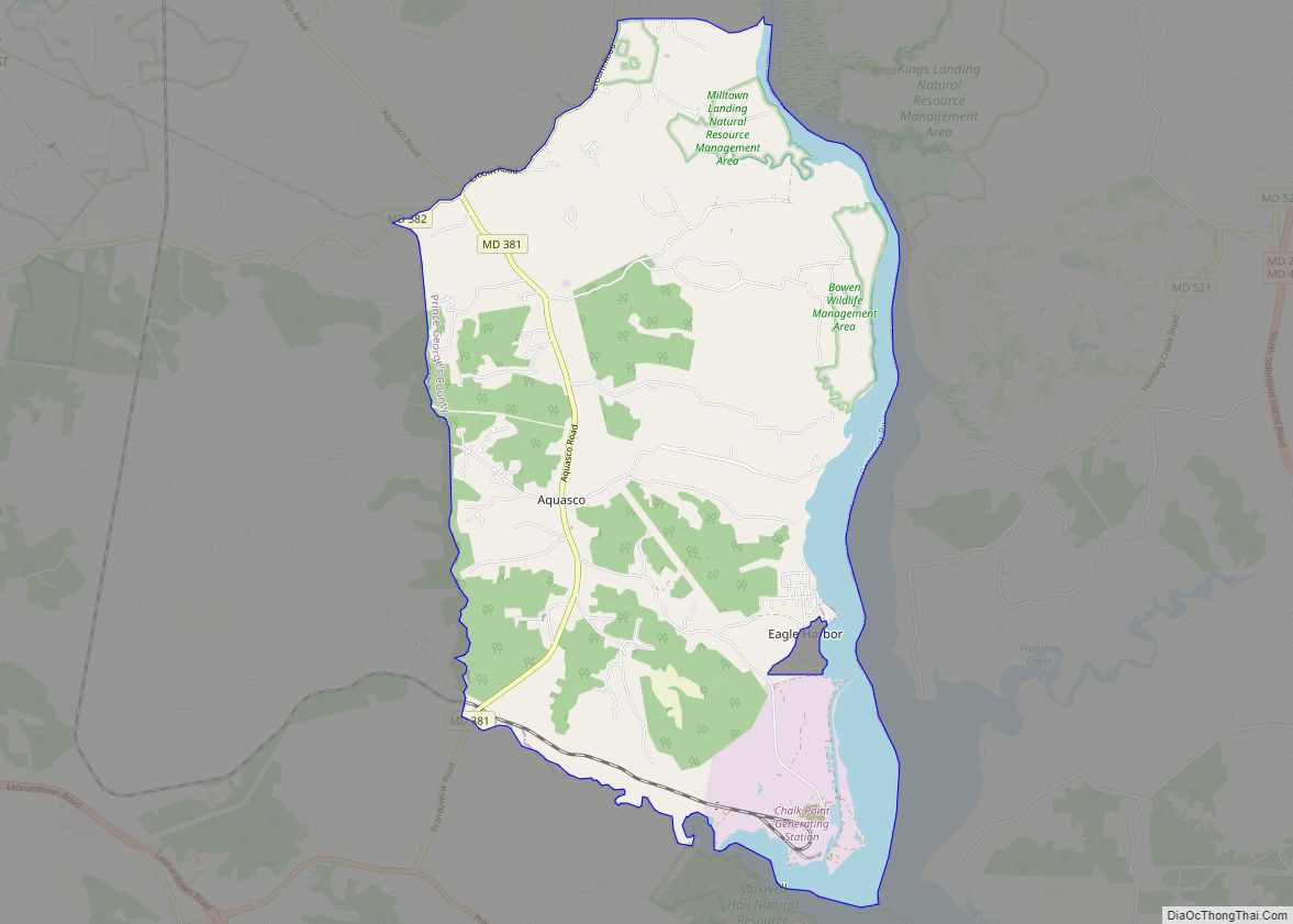
Eagle Harbor is an incorporated town in the far southeast corner of Prince George’s County, Maryland, United States, and near the rural community of Aquasco that is known as a historic African American community founded in 1925. Per the 2020 census, the population was 67. The Chalk Point Generating Station, owned by NRG Energy, which was sold to Mirant by the Potomac Electric Power Company (PEPCO) in 2000, is located adjacent to the town.
| Name: | Eagle Harbor town |
|---|---|
| LSAD Code: | 43 |
| LSAD Description: | town (suffix) |
| State: | Maryland |
| County: | Prince George’s County |
| Incorporated: | 1929 |
| Elevation: | 13 ft (4 m) |
| Total Area: | 0.12 sq mi (0.32 km²) |
| Land Area: | 0.12 sq mi (0.32 km²) |
| Water Area: | 0.00 sq mi (0.00 km²) |
| Total Population: | 67 |
| Population Density: | 549.18/sq mi (211.70/km²) |
| ZIP code: | 20608 |
| Area code: | 301, 240 |
| FIPS code: | 2424200 |
| GNISfeature ID: | 0597360 |
| Website: | www.townofeagleharborincmd.org |
Online Interactive Map
Click on ![]() to view map in "full screen" mode.
to view map in "full screen" mode.
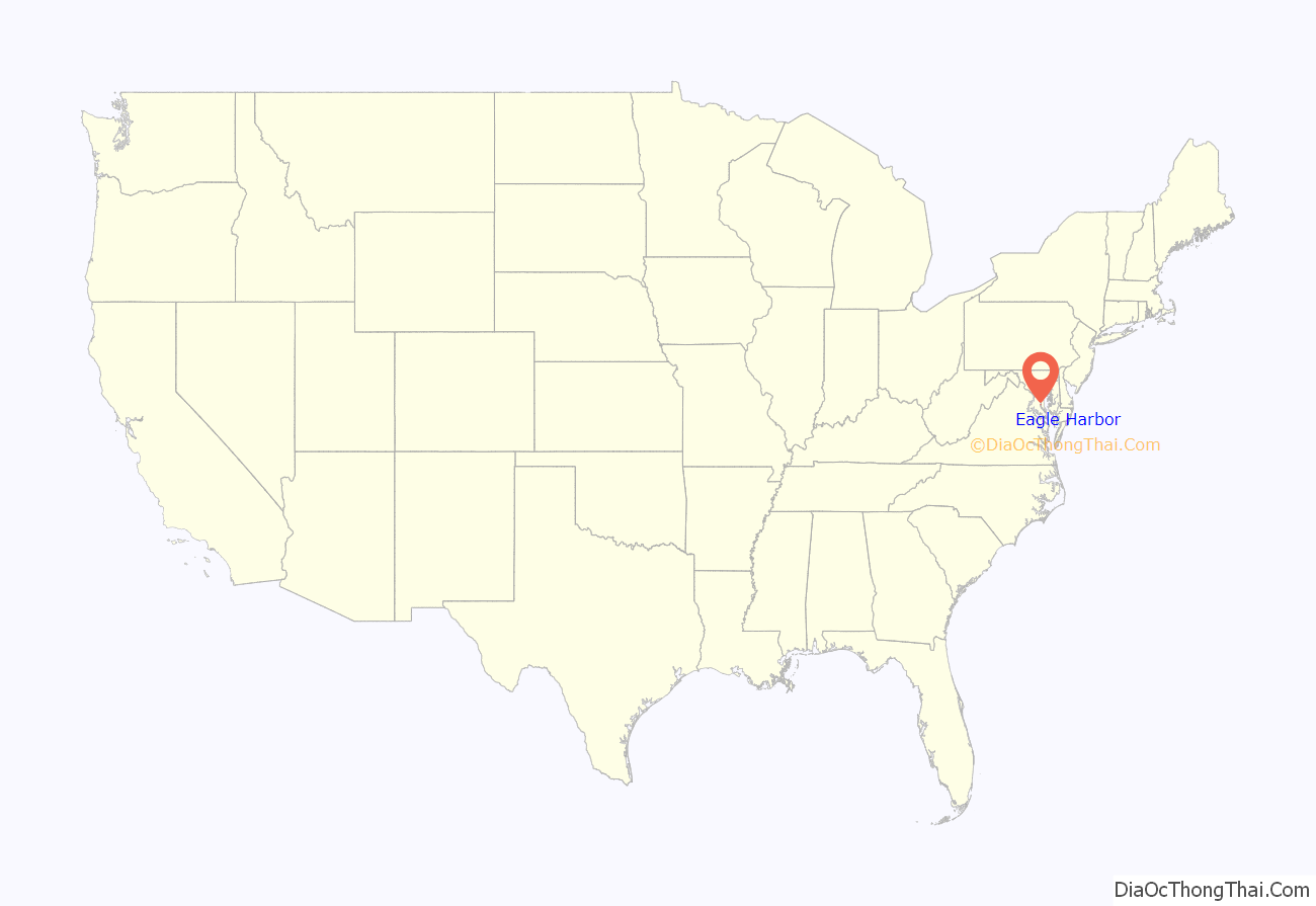
Eagle Harbor location map. Where is Eagle Harbor town?
History
Eagle Harbor was originally known as Trueman Point, a river port established in the early 18th century to serve as a shipping point for tobacco plantations located in the Aquasco area. In 1747, it was considered by the Maryland colony as an official tobacco inspection station, but it never realized that designation. In 1817, George Weems established the Weems Steamboat Company, connecting Trueman Point to other landings along the Patuxent River. He also built a tobacco warehouse, and ships routinely stopped at Trueman Landing. The steamboat traffic continued into the 1930s. Trueman Point Landing is a local historic site identified by the Maryland-National Capital Park and Planning Commission.
Located just 30 miles (48 km) from Washington, D.C., in 1925, developer Walter L. Bean purchased land adjoining Trueman Point with the vision of creating a resort community for middle-class African Americans from the area. Lots were offered for $50.00 or less, and the community was advertised as “a high class summer colony for the better people.” After a number of summer cottages were constructed, the community incorporated as the town of Eagle Harbor in 1929.
Eagle Harbor Road Map
Eagle Harbor city Satellite Map
Geography
Eagle Harbor is located at 38°34′0″N 76°41′13″W / 38.56667°N 76.68694°W / 38.56667; -76.68694 (38.566709, -76.686841).
According to the United States Census Bureau, the town has a total area of 0.12 square miles (0.31 km), all land.
Climate
The climate in this area is characterized by hot, humid summers and generally mild to cool winters. According to the Köppen Climate Classification system, Eagle Harbor has a humid subtropical climate, abbreviated “Cfa” on climate maps.
See also
Map of Maryland State and its subdivision: Map of other states:- Alabama
- Alaska
- Arizona
- Arkansas
- California
- Colorado
- Connecticut
- Delaware
- District of Columbia
- Florida
- Georgia
- Hawaii
- Idaho
- Illinois
- Indiana
- Iowa
- Kansas
- Kentucky
- Louisiana
- Maine
- Maryland
- Massachusetts
- Michigan
- Minnesota
- Mississippi
- Missouri
- Montana
- Nebraska
- Nevada
- New Hampshire
- New Jersey
- New Mexico
- New York
- North Carolina
- North Dakota
- Ohio
- Oklahoma
- Oregon
- Pennsylvania
- Rhode Island
- South Carolina
- South Dakota
- Tennessee
- Texas
- Utah
- Vermont
- Virginia
- Washington
- West Virginia
- Wisconsin
- Wyoming
