Fort Meade is a census-designated place (CDP) in Anne Arundel County, Maryland, United States. The population was 9,327 at the 2010 census. It is the home to the National Security Agency, Central Security Service, United States Cyber Command and the Defense Information Systems Agency, which are located on the U.S. Army post Fort George G. Meade.
| Name: | Fort Meade CDP |
|---|---|
| LSAD Code: | 57 |
| LSAD Description: | CDP (suffix) |
| State: | Maryland |
| County: | Anne Arundel County |
| Elevation: | 180 ft (50 m) |
| Total Area: | 8.09 sq mi (20.96 km²) |
| Land Area: | 8.08 sq mi (20.93 km²) |
| Water Area: | 0.01 sq mi (0.03 km²) |
| Total Population: | 9,324 |
| Population Density: | 1,153.67/sq mi (445.42/km²) |
| ZIP code: | 20755 |
| Area code: | 410 |
| FIPS code: | 2429400 |
Online Interactive Map
Click on ![]() to view map in "full screen" mode.
to view map in "full screen" mode.
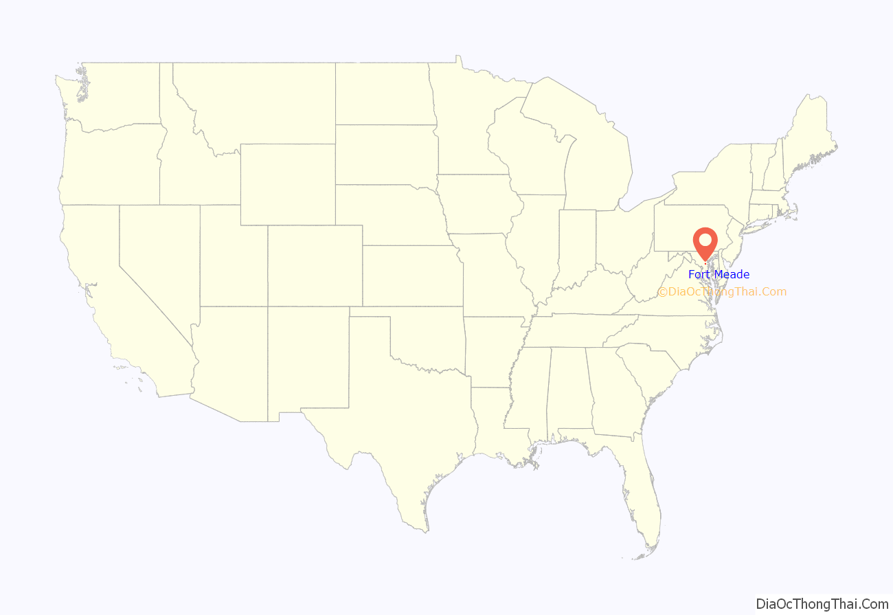
Fort Meade location map. Where is Fort Meade CDP?
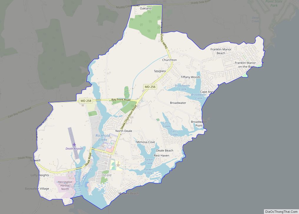
Fort Meade Road Map
Fort Meade city Satellite Map
Geography
Fort Meade is located at 39°6′18″N 76°44′29″W / 39.10500°N 76.74139°W / 39.10500; -76.74139 (39.105015, −76.741260) in northwestern Anne Arundel County. It is located between the cities of Baltimore and Washington, D.C., and is located approximately 20 minutes from the state capital of Annapolis. It is bounded on the northwest by the Baltimore–Washington Parkway (Maryland Route 295) and on the south and southwest by the Patuxent Freeway (Maryland Route 32), which leads southeast towards Annapolis and northwest to Columbia. Exit 38A off Interstate 95 (in adjacent Howard County) also offers access to here.
See also
Map of Maryland State and its subdivision: Map of other states:- Alabama
- Alaska
- Arizona
- Arkansas
- California
- Colorado
- Connecticut
- Delaware
- District of Columbia
- Florida
- Georgia
- Hawaii
- Idaho
- Illinois
- Indiana
- Iowa
- Kansas
- Kentucky
- Louisiana
- Maine
- Maryland
- Massachusetts
- Michigan
- Minnesota
- Mississippi
- Missouri
- Montana
- Nebraska
- Nevada
- New Hampshire
- New Jersey
- New Mexico
- New York
- North Carolina
- North Dakota
- Ohio
- Oklahoma
- Oregon
- Pennsylvania
- Rhode Island
- South Carolina
- South Dakota
- Tennessee
- Texas
- Utah
- Vermont
- Virginia
- Washington
- West Virginia
- Wisconsin
- Wyoming
