Glenarden is a city in Prince George’s County, Maryland, United States. Per the 2020 census, the population was 6,402.
| Name: | Glenarden city |
|---|---|
| LSAD Code: | 25 |
| LSAD Description: | city (suffix) |
| State: | Maryland |
| County: | Prince George’s County |
| Founded: | 1919 |
| Incorporated: | March 30, 1939 |
| Elevation: | 102 ft (31 m) |
| Total Area: | 1.20 sq mi (3.10 km²) |
| Land Area: | 1.20 sq mi (3.10 km²) |
| Water Area: | 0.00 sq mi (0.00 km²) |
| Total Population: | 6,402 |
| Population Density: | 5,352.84/sq mi (2,066.60/km²) |
| ZIP code: | 20706, 20774 |
| Area code: | 301, 240 |
| FIPS code: | 2432500 |
| GNISfeature ID: | 0597453 |
Online Interactive Map
Click on ![]() to view map in "full screen" mode.
to view map in "full screen" mode.
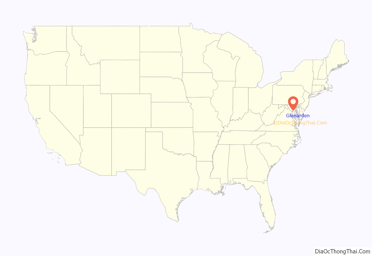
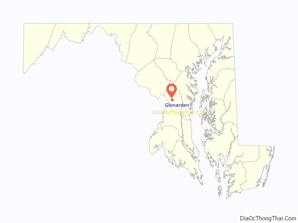
Glenarden location map. Where is Glenarden city?
History
Glenarden was developed in 1919, when W. R. Smith purchased a group of properties approximately 10 miles east of Washington, and established a residential community of 15 people. Three decades later, under the banner of the Civic Association, the African-American, middle-class suburban community that had developed from Smith’s venture petitioned the State Legislature for incorporation as the Town of Glenarden. The charter was granted on March 30, 1939, making Glenarden the third predominantly black incorporated town in the State of Maryland. W. H. Swann was elected as its first mayor.
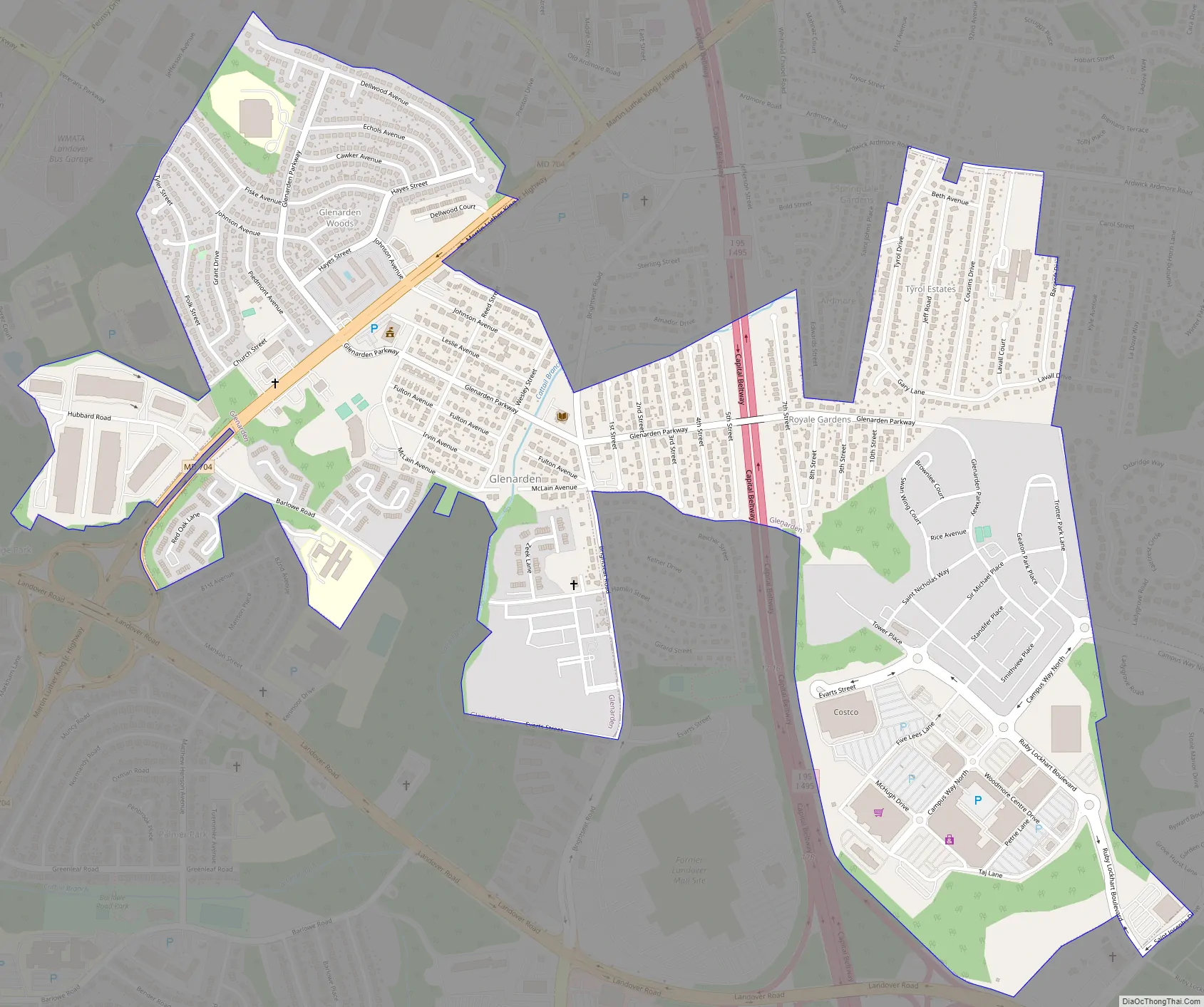
Glenarden Road Map
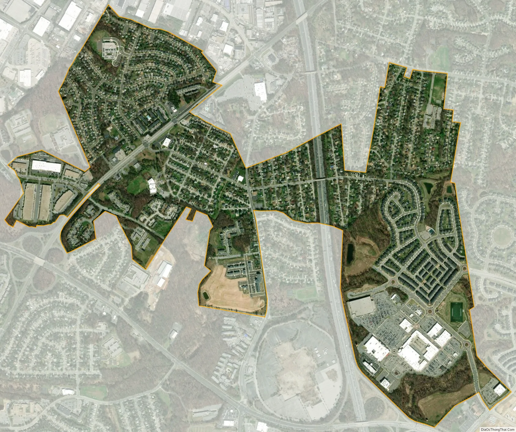
Glenarden city Satellite Map
Geography
Glenarden is located at 38°55′55″N 76°51′42″W / 38.93194°N 76.86167°W / 38.93194; -76.86167 (38.932061, -76.861648).
According to the United States Census Bureau, the city has a total area of 1.22 square miles (3.16 km), all land.
See also
Map of Maryland State and its subdivision: Map of other states:- Alabama
- Alaska
- Arizona
- Arkansas
- California
- Colorado
- Connecticut
- Delaware
- District of Columbia
- Florida
- Georgia
- Hawaii
- Idaho
- Illinois
- Indiana
- Iowa
- Kansas
- Kentucky
- Louisiana
- Maine
- Maryland
- Massachusetts
- Michigan
- Minnesota
- Mississippi
- Missouri
- Montana
- Nebraska
- Nevada
- New Hampshire
- New Jersey
- New Mexico
- New York
- North Carolina
- North Dakota
- Ohio
- Oklahoma
- Oregon
- Pennsylvania
- Rhode Island
- South Carolina
- South Dakota
- Tennessee
- Texas
- Utah
- Vermont
- Virginia
- Washington
- West Virginia
- Wisconsin
- Wyoming


