Marlton is an unincorporated area and census-designated place (CDP) in Prince George’s County, Maryland, United States. The population was 9,802 at the 2020 census. The Marlton housing development, at first briefly called “Brandywine Country”, grew up along U.S. Route 301 in the 1970s, and is part of the greater Upper Marlboro community. Originally made up of only single-family homes, more recently townhouses have been added.
| Name: | Marlton CDP |
|---|---|
| LSAD Code: | 57 |
| LSAD Description: | CDP (suffix) |
| State: | Maryland |
| County: | Prince George’s County |
| Elevation: | 197 ft (60 m) |
| Total Area: | 5.95 sq mi (15.40 km²) |
| Land Area: | 5.93 sq mi (15.36 km²) |
| Water Area: | 0.01 sq mi (0.04 km²) |
| Total Population: | 9,802 |
| Population Density: | 1,652.39/sq mi (638.02/km²) |
| FIPS code: | 2450775 |
| GNISfeature ID: | 1714754 |
Online Interactive Map
Click on ![]() to view map in "full screen" mode.
to view map in "full screen" mode.
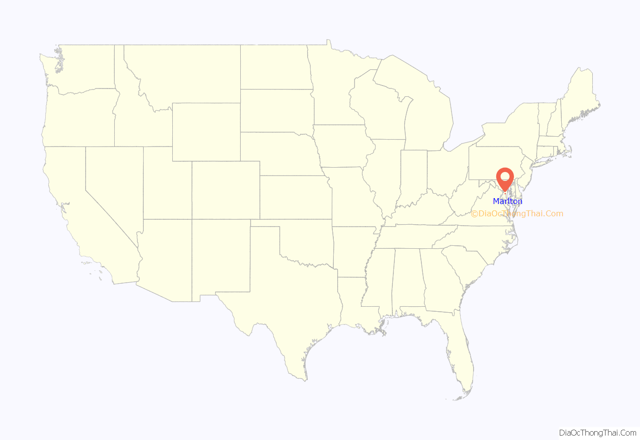
Marlton location map. Where is Marlton CDP?
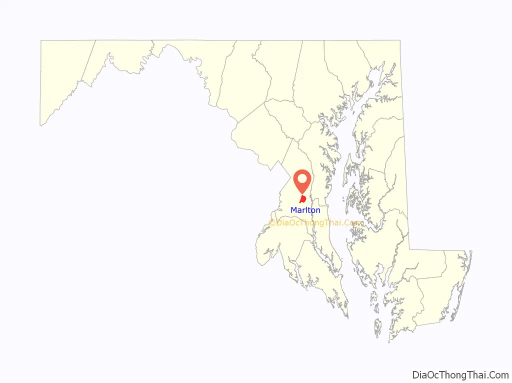
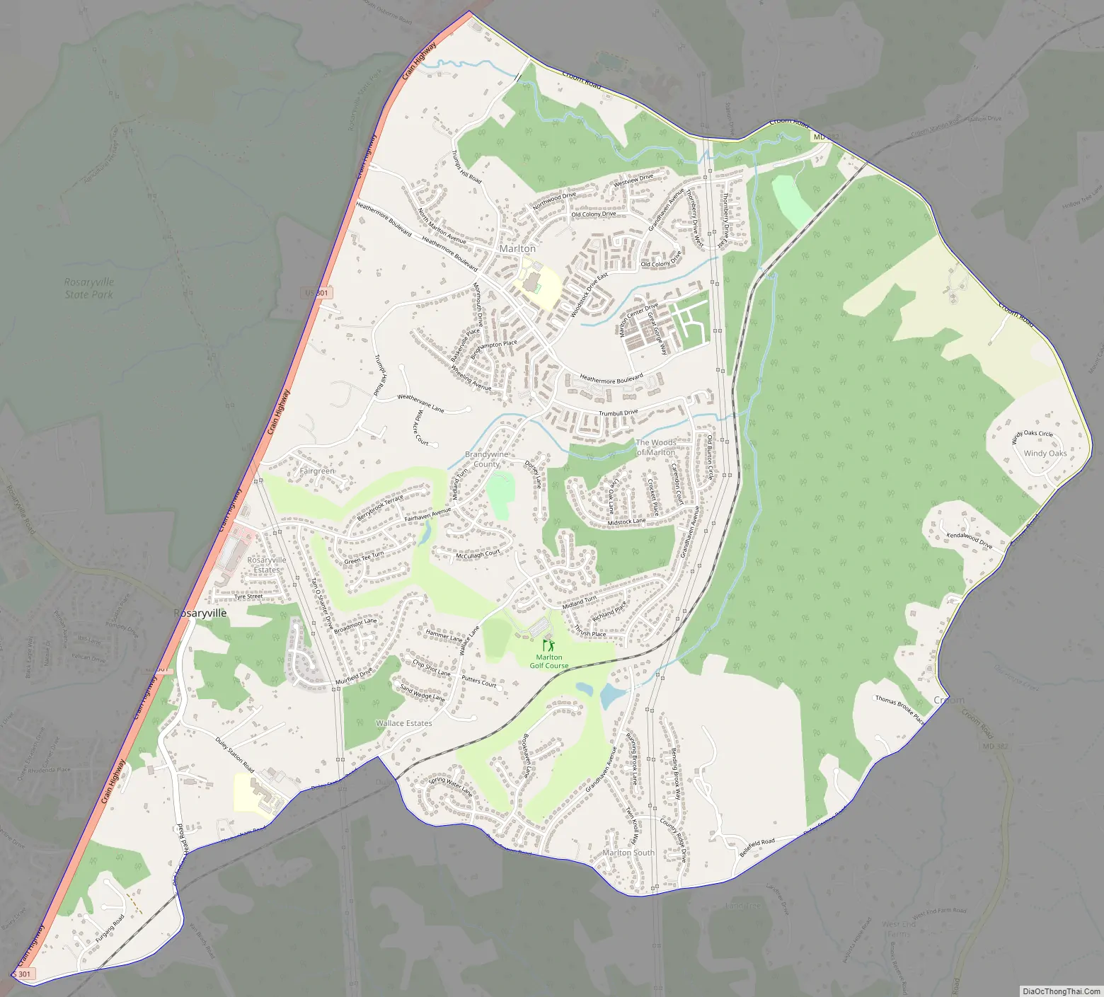
Marlton Road Map
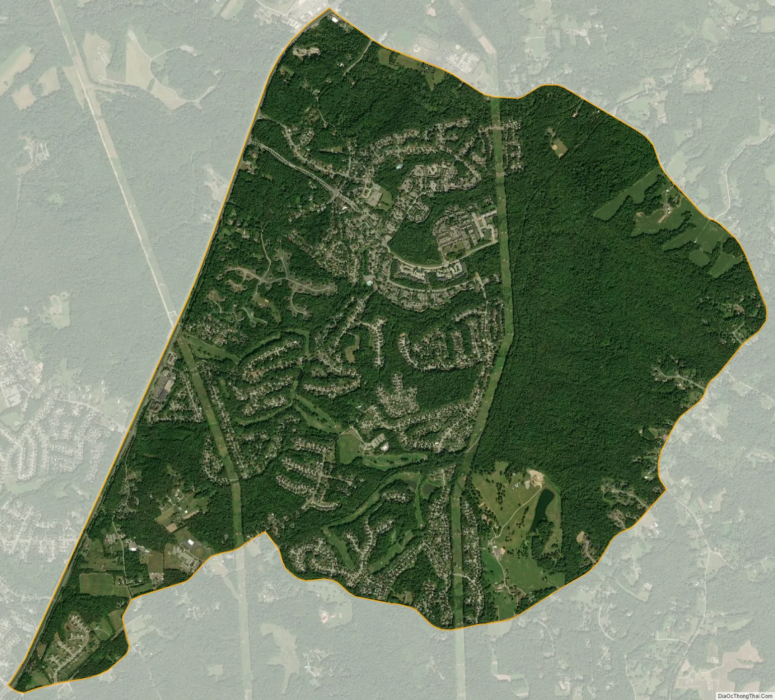
Marlton city Satellite Map
Geography
Marlton is located at 38°46′00″N 76°47′20″W / 38.766568°N 76.788922°W / 38.766568; -76.788922 (38.766568, −76.788922).
According to the United States Census Bureau, the CDP has a total area of 6.0 square miles (16 km), all land.
See also
Map of Maryland State and its subdivision: Map of other states:- Alabama
- Alaska
- Arizona
- Arkansas
- California
- Colorado
- Connecticut
- Delaware
- District of Columbia
- Florida
- Georgia
- Hawaii
- Idaho
- Illinois
- Indiana
- Iowa
- Kansas
- Kentucky
- Louisiana
- Maine
- Maryland
- Massachusetts
- Michigan
- Minnesota
- Mississippi
- Missouri
- Montana
- Nebraska
- Nevada
- New Hampshire
- New Jersey
- New Mexico
- New York
- North Carolina
- North Dakota
- Ohio
- Oklahoma
- Oregon
- Pennsylvania
- Rhode Island
- South Carolina
- South Dakota
- Tennessee
- Texas
- Utah
- Vermont
- Virginia
- Washington
- West Virginia
- Wisconsin
- Wyoming


