Mount Rainier /reɪˈnɪər/ is a city in Prince George’s County, Maryland, United States, bordering Washington D.C. The population was 8,333 at the 2020 census. Mount Rainier is contained between the Northwest Branch Anacostia River, Cedar Lane Alley, and 34th Street to the north, 37th Street and 37th Place to the northeast, Upshur Street and Queens Chapel Road to the west, the CSX Capital Subdivision train tracks to the east, and Eastern Avenue NE to the south. Mount Rainier got its start as a streetcar suburb, when tracks were laid for the 82 Streetcar Line. According to local tradition, surveyors from the Pacific Northwest named the town, giving the streets names such as Shasta and Cascade. Historic U.S. 1 runs through the center of the town and serves as the main street and central business district.
| Name: | Mount Rainier city |
|---|---|
| LSAD Code: | 25 |
| LSAD Description: | city (suffix) |
| State: | Maryland |
| County: | Prince George’s County |
| Incorporated: | 1910 |
| Elevation: | 79 ft (24 m) |
| Total Area: | 0.64 sq mi (1.65 km²) |
| Land Area: | 0.64 sq mi (1.65 km²) |
| Water Area: | 0.00 sq mi (0.00 km²) |
| Total Population: | 8,333 |
| Population Density: | 13,102.20/sq mi (5,056.25/km²) |
| ZIP code: | 20712 |
| Area code: | 301, 240 |
| FIPS code: | 2454275 |
| GNISfeature ID: | 0597787 |
| Website: | http://www.mountrainiermd.org |
Online Interactive Map
Click on ![]() to view map in "full screen" mode.
to view map in "full screen" mode.
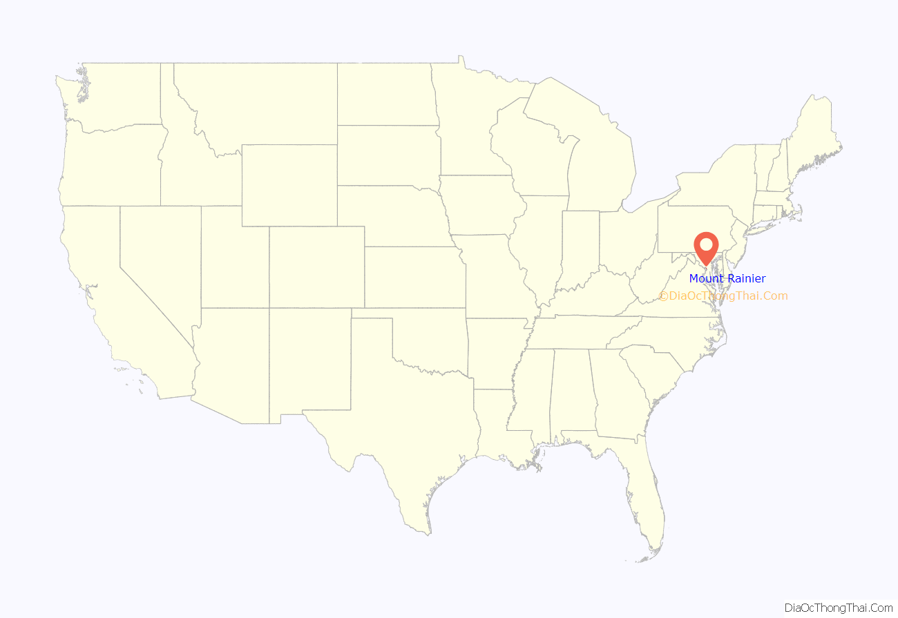
Mount Rainier location map. Where is Mount Rainier city?
History
(Drawn from “History of Mount Rainier”.)
In 1891, the City of Mount Rainier was named by a group of developers after the famous mountain in the state of Washington.
In 1899, the streetcar lines were extended from Washington D.C. through Hyattsville, Maryland. The Mount Rainier stop was located at the intersection of what is now known as Rhode Island Avenue and 34th Street. It was called the District Line Station. With the stop at Mount Rainier, it was easier to attract developers and prospective buyers because now the city offered easy access to get into and out of Washington.
Houses started to be built near the District Line Station after 1902. The homes in Mount Rainier were considered affordable, ranging from $2,000 to $5,000.
The business district aggregated around the streetcar station. In addition to the station, there were shops, grocery stores, a barbershop, laundry, and dry good stores. The first post office was established in 1904.
In 1910, the residents in the area around the streetcar station petitioned the Maryland State Legislature to incorporate Mount Rainier, and the city was incorporated by a charter granted on April 14, 1910.
In January 1912, the Mount Rainier volunteer fire department was created. The fire department was first located in a frame building and later moved to a brick structure located on 34th at Shepherd St.
In 1913, the Women’s Civic League of Mount Rainier formed. In 1923, the first public school of Mount Rainier was constructed, and in the same year, the town hired its first paid police officer because of its growing population.
In 1929, the town acquired 100 acres (0.40 km) of land, and in the following year, the Mount Rainier High School opened there.
In 1939, a new terminal was built at 34th St and Rhode Island Ave. because of a change in streetcar services.
In the 1940s, Kaywood Garden apartments were constructed along Eastern Ave., raising the population of Mount Rainier.
In 1952, a library was built. In 1956, a privately operated community pool opened. n 1958, streetcar services stopped and were replaced by bus service.
In the 1970s and 1980s, the population of the city declined.
Today, a large area of Mount Rainier is considered a historic district by the National Register of Historic Places.
In the present day, Mount Rainier still has many of the charms and attractive features that it had in the early 1900s. Residents of Mount Rainier are served by the Rhode Island Avenue & Brookland – CUA Metro Station and West Hyattsville Metro Station.
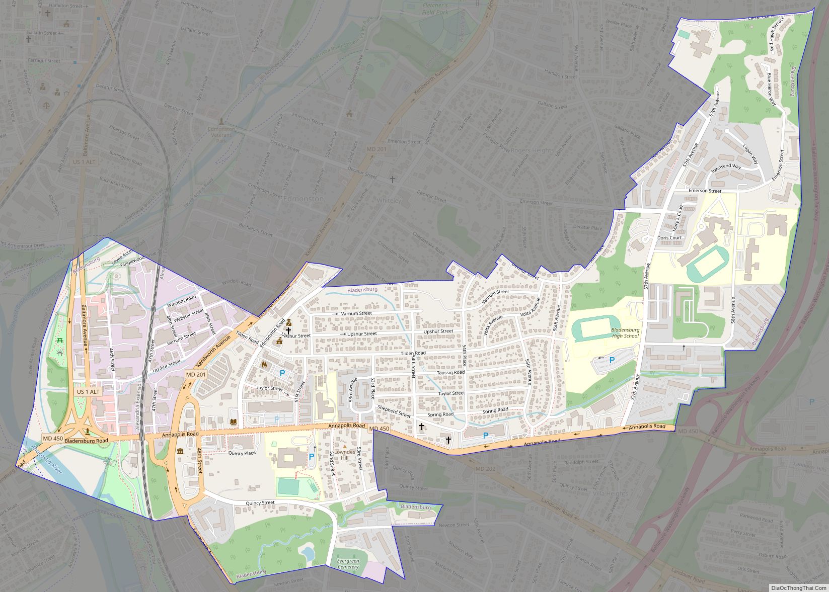
Mount Rainier Road Map
Mount Rainier city Satellite Map
Geography
Mount Rainier is located at 38°56′30″N 76°57′49″W / 38.94167°N 76.96361°W / 38.94167; -76.96361 (38.941594, -76.963696).
According to the United States Census Bureau, the city has a total area of 0.65 square miles (1.68 km), all land.
See also
Map of Maryland State and its subdivision: Map of other states:- Alabama
- Alaska
- Arizona
- Arkansas
- California
- Colorado
- Connecticut
- Delaware
- District of Columbia
- Florida
- Georgia
- Hawaii
- Idaho
- Illinois
- Indiana
- Iowa
- Kansas
- Kentucky
- Louisiana
- Maine
- Maryland
- Massachusetts
- Michigan
- Minnesota
- Mississippi
- Missouri
- Montana
- Nebraska
- Nevada
- New Hampshire
- New Jersey
- New Mexico
- New York
- North Carolina
- North Dakota
- Ohio
- Oklahoma
- Oregon
- Pennsylvania
- Rhode Island
- South Carolina
- South Dakota
- Tennessee
- Texas
- Utah
- Vermont
- Virginia
- Washington
- West Virginia
- Wisconsin
- Wyoming
