Potomac (listen (help·info)) is a census-designated place (CDP) in Montgomery County, Maryland. It is named after the nearby Potomac River. Potomac is the seventh most educated small town in America, based on percentage of residents with postsecondary degrees.
In 2011, Bloomberg Businessweek labeled Potomac as the 29th richest ZIP Code in the United States, stating that it had the largest population of any U.S. town with a median income of more than $240,000. In 2012, The Higley Elite 100 published a list of highest-income neighborhoods by mean household income, which included four neighborhoods in Potomac; one of these neighborhoods, “Carderock-The Palisades” was ranked the highest-income neighborhood in the United States, followed by “Beverly Hills-North of Sunset” in Beverly Hills, California and “Swinks Mill-Dominion Reserve” of McLean, Virginia. More recently, two Potomac neighborhoods were ranked among the ten wealthiest neighborhoods in the country by CNBC in 2014. In 2018, data from the American Community Survey revealed that Potomac was the sixth-wealthiest city in the United States. Many Potomac residents work in nearby Washington, D.C. and Northern Virginia.
| Name: | Potomac CDP |
|---|---|
| LSAD Code: | 57 |
| LSAD Description: | CDP (suffix) |
| State: | Maryland |
| County: | Montgomery County |
| Elevation: | 361 ft (110 m) |
| Total Area: | 26.58 sq mi (68.85 km²) |
| Land Area: | 25.14 sq mi (65.12 km²) |
| Water Area: | 1.44 sq mi (3.73 km²) |
| Total Population: | 47,018 |
| Population Density: | 1,869.95/sq mi (721.99/km²) |
| Area code: | 301, 240 |
| FIPS code: | 2463300 |
| GNISfeature ID: | 0591056 |
Online Interactive Map
Click on ![]() to view map in "full screen" mode.
to view map in "full screen" mode.
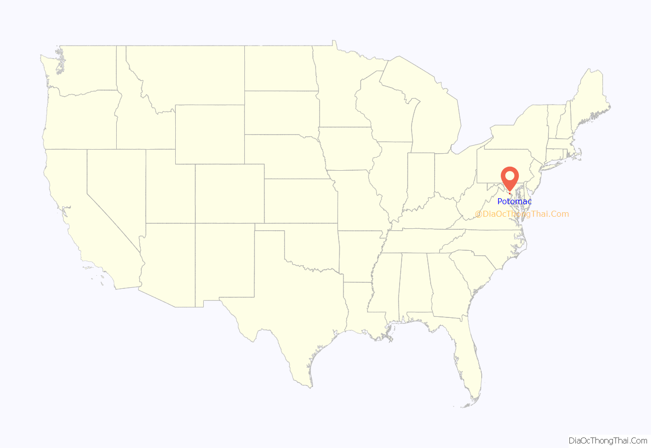
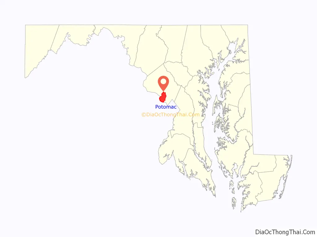
Potomac location map. Where is Potomac CDP?
History
The land that is now Potomac Village was first settled by Edward Offutt in 1714 after he was granted a 600-acre (2.4 km) land grant of a region known as Clewerwell by Lord Baltimore. His grant of land was by the Tehogee Indian Trail, an Indian trade route built by the Canaze Native American nation in 1716. Throughout the 18th century, what became known as Offutts Crossroads was a small, rural community which served planters and travelers. In the 19th century, a few small dwellings had been built along with a tavern established in 1820. By the time of the Civil War, the community contained two general stores, a blacksmith shop, and a post office which served a community of 100.
Offutts Crossroads was renamed Potomac in 1881 by John McDonald. An Irishman and veteran of the Civil War, McDonald settled in Potomac around that time. He petitioned for the name change since postal officials were asking for brief names and there were already several other communities in the area with the name “crossroads”.
By the turn of the 20th century, Potomac experienced a period of growth. Thomas Perry, an operator of a nearby general store, built a house on the corner of Falls and River Roads in 1902. More residential structures were built on the northern section of Falls Road throughout the 1920s and 1930s. During the 1950s, Potomac was one of many communities in Montgomery County to experience suburbanization because of its proximity to Washington, D.C. Potomac quickly transformed from a rural farming community to a suburban community from the mid- to late 20th century.
Numerous original buildings within Potomac Village have been demolished for the construction of strip malls and modern office buildings. However, in the surrounding area, many of the old farmhouses remain, though some are confined within suburban developments. The Perry Store has been restored and still stands as part of a bank, although the building was moved 21 feet in 1986 to allow for a project to widen the intersection of Falls and River Roads.
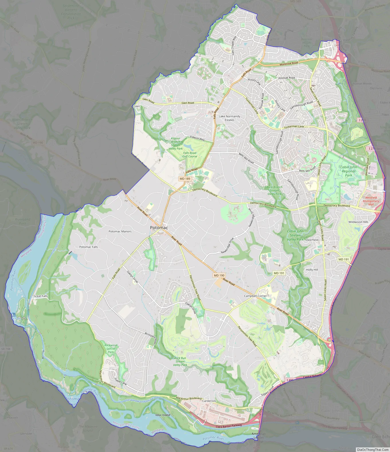
Potomac Road Map
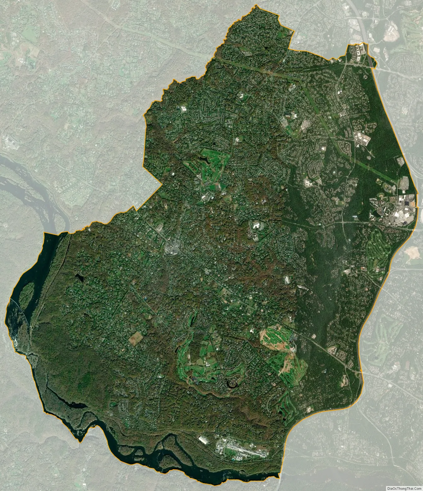
Potomac city Satellite Map
Geography
Potomac’s geographical focal point is Potomac Village, a small cluster of shops and businesses at the intersection of Maryland State Highway 189 (Falls Road) and Maryland State Highway 190 (River Road) northwest of Washington, D.C. According to the U.S. Census Bureau, Potomac has a total area of 26.6 square miles (69 km), of which 25.2 square miles (65 km) of it is land and 1.4 square miles (3.6 km) of it (5.20%) is water. It includes the ZIP Code 20854 for properties and 20859 for US Post Office Boxes.
See also
Map of Maryland State and its subdivision: Map of other states:- Alabama
- Alaska
- Arizona
- Arkansas
- California
- Colorado
- Connecticut
- Delaware
- District of Columbia
- Florida
- Georgia
- Hawaii
- Idaho
- Illinois
- Indiana
- Iowa
- Kansas
- Kentucky
- Louisiana
- Maine
- Maryland
- Massachusetts
- Michigan
- Minnesota
- Mississippi
- Missouri
- Montana
- Nebraska
- Nevada
- New Hampshire
- New Jersey
- New Mexico
- New York
- North Carolina
- North Dakota
- Ohio
- Oklahoma
- Oregon
- Pennsylvania
- Rhode Island
- South Carolina
- South Dakota
- Tennessee
- Texas
- Utah
- Vermont
- Virginia
- Washington
- West Virginia
- Wisconsin
- Wyoming


