McLean (/məˈkleɪn/ mə-KLAYN) is an unincorporated community and census-designated place (CDP) in Fairfax County in Northern Virginia. McLean is home to many diplomats, military, members of Congress, and high-ranking government officials partially due to its proximity to Washington, D.C., the Pentagon and the Central Intelligence Agency. It is the location of Hickory Hill, the former home of Ethel Kennedy, the widow of Robert F. Kennedy. It is also the location of Salona, the former home of Light-Horse Harry Lee, the Revolutionary War hero.
The population of the community was 50,773 at the 2020 census. It is located between the Potomac River and Vienna. McLean is often distinguished by its luxury homes and its nearby high-profit shopping destinations, Tysons Corner Center and Tysons Galleria. The two McLean ZIP Codes – 22101 and 22102 – are among the most expensive ZIP Codes in Virginia and the United States. In 2018, data from the American Community Survey revealed that McLean was the third wealthiest city in the United States, based on its poverty rate of 2.6% and its median household income of $190,258.
| Name: | McLean CDP |
|---|---|
| LSAD Code: | 57 |
| LSAD Description: | CDP (suffix) |
| State: | Virginia |
| County: | Fairfax County |
| Elevation: | 285 ft (87 m) |
| Total Area: | 24.88 sq mi (64.4 km²) |
| Land Area: | 24.79 sq mi (64.2 km²) |
| Water Area: | 0.09 sq mi (0.23 km²) |
| Total Population: | 50,773 |
| Population Density: | 2,000/sq mi (790/km²) |
| Area code: | 571, 703 |
| FIPS code: | 5148376 |
| GNISfeature ID: | 1495919 |
Online Interactive Map
Click on ![]() to view map in "full screen" mode.
to view map in "full screen" mode.
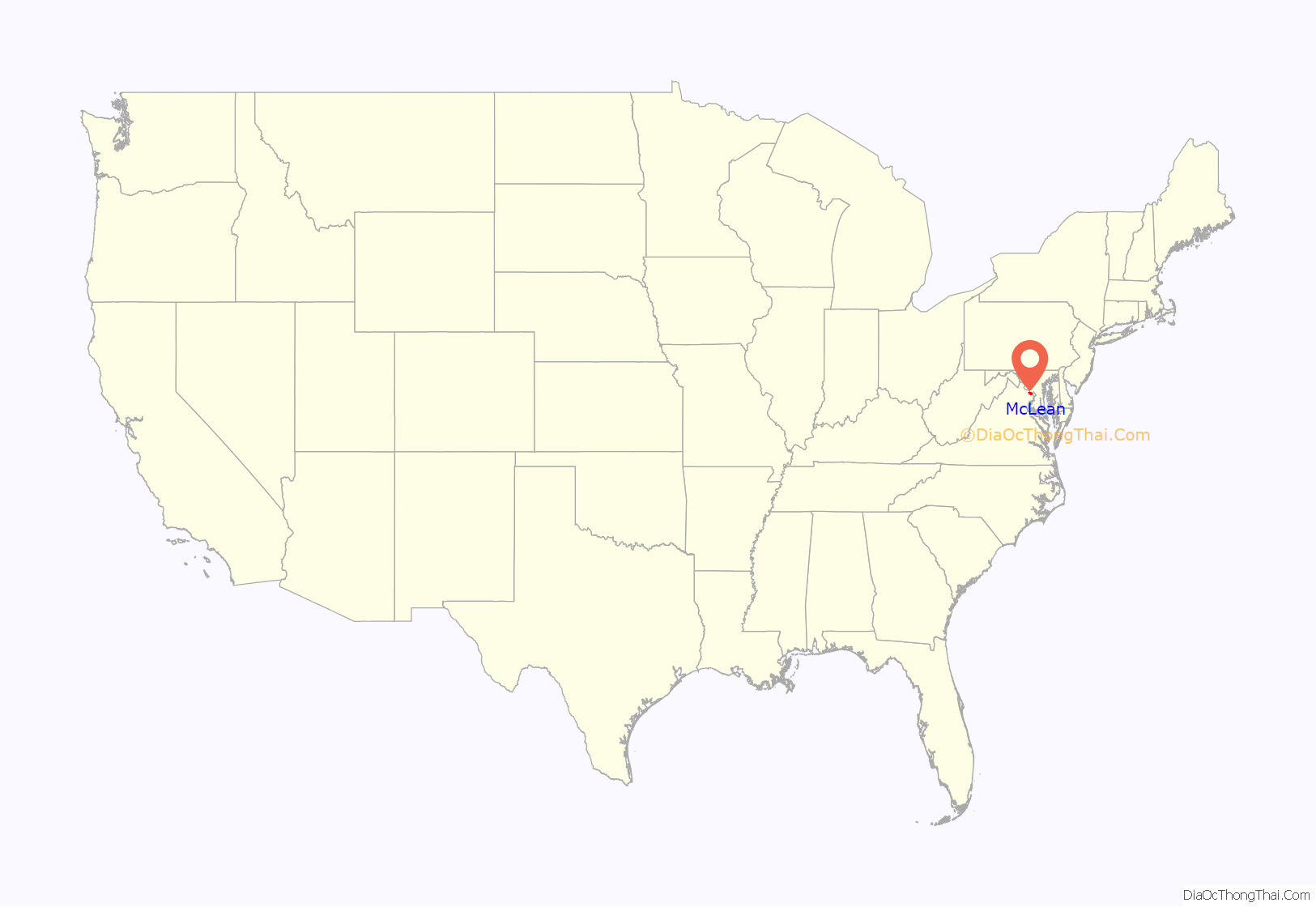
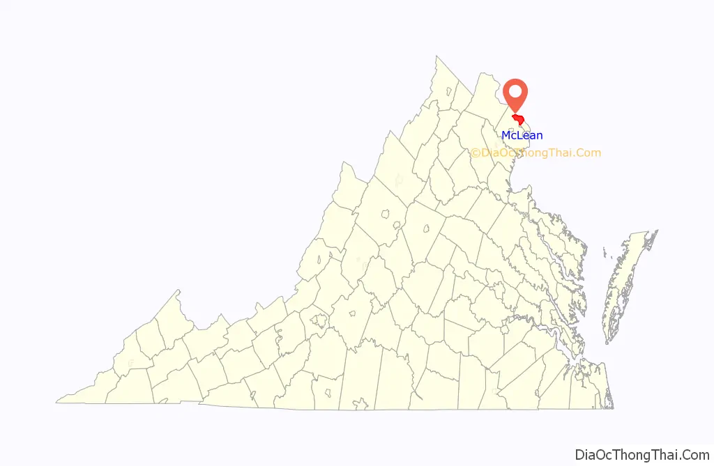
McLean location map. Where is McLean CDP?
History
The community received its name from John Roll McLean, the former publisher and owner of The Washington Post. Along with Stephen Benton Elkins and French aristocrat Jean-Pierre Guenard, in 1902 he bought the charter for the Great Falls and Old Dominion Railroad. Completed in 1906, it connected the area with Washington, D.C. McLean named a railroad station costing $1,500, of which $500 was raised locally, after himself where the rail line (traveling on the present route of Old Dominion Drive) crossed the old Chain Bridge Road. The community itself was founded in 1910, when the communities of Lewinsville and Langley merged.
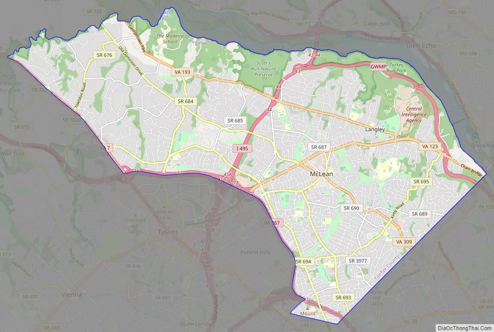
McLean Road Map
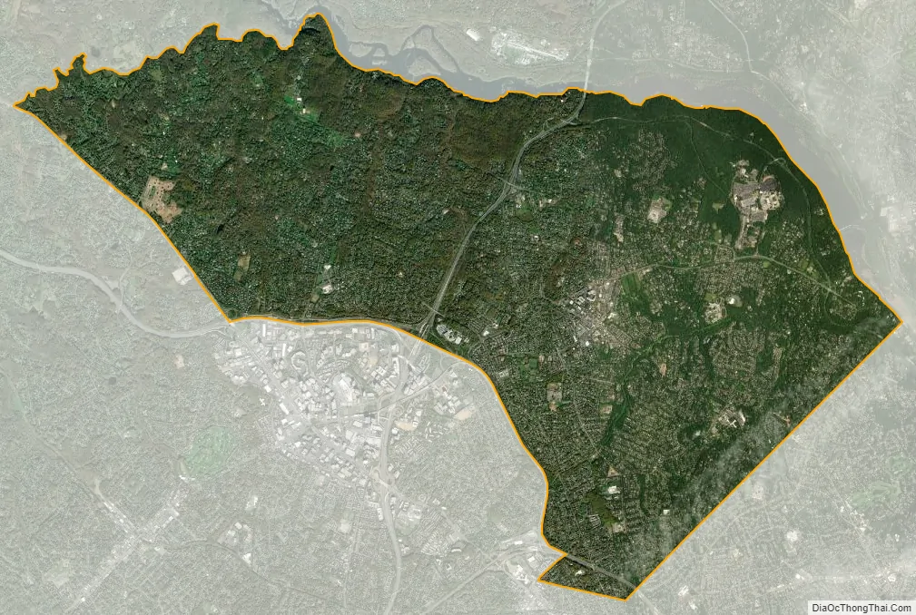
McLean city Satellite Map
Geography
McLean is located at 38°56′03″N 77°10′39″W / 38.93417°N 77.17750°W / 38.93417; -77.17750 (38.9342776, −77.1774801) at an elevation of 285 feet (87 m). Located on the Capital Beltway (Interstate 495) in Northern Virginia, central McLean is 8 miles (13 km) northwest of downtown Washington, D.C., and 9 miles (14 km) northeast of Fairfax, the county seat.
The community lies in the Piedmont upland on the west bank of the Potomac River. The river forms the community’s northern and eastern borders, and a number of its smaller tributaries flow north and northeast through the CDP. From west to east, these include Bull Neck Run, Scott Run, Dead Run, Turkey Run, and Pimmit Run.
According to the United States Census Bureau, the CDP has a total area of 24.88 square miles (64.4 km) of which 24.79 square miles (64.2 km) is land and 0.09 square miles (0.23 km) is water.
As an inner suburb of Washington, D.C., McLean is a part of both the Washington Metropolitan Area and the larger Baltimore-Washington Metropolitan Area. The CDP includes the unincorporated communities of Langley, Lewinsville, and West McLean, and it borders several other Washington suburbs including: Potomac and Cabin John, Maryland, to the north; Brookmont, Maryland, to the northeast; Arlington to the southeast; Falls Church to the south; Idylwood, Pimmit Hills, and Tysons to the southwest; Wolf Trap to the west; and Great Falls to the northwest.
McLean has a humid climate (Cfa) and is in hardiness zone 7a.
See also
Map of Virginia State and its subdivision:- Accomack
- Albemarle
- Alexandria
- Alleghany
- Amelia
- Amherst
- Appomattox
- Arlington
- Augusta
- Bath
- Bedford
- Bedford City
- Bland
- Botetourt
- Bristol
- Brunswick
- Buchanan
- Buckingham
- Buena Vista
- Campbell
- Caroline
- Carroll
- Charles City
- Charlotte
- Charlottesville
- Chesapeake
- Chesterfield
- Clarke
- Clifton Forge City
- Colonial Heights
- Covington
- Craig
- Culpeper
- Cumberland
- Danville
- Dickenson
- Dinwiddie
- Emporia
- Essex
- Fairfax
- Fairfax City
- Falls Church
- Fauquier
- Floyd
- Fluvanna
- Franklin
- Frederick
- Fredericksburg
- Galax
- Giles
- Gloucester
- Goochland
- Grayson
- Greene
- Greensville
- Halifax
- Hampton
- Hanover
- Harrisonburg
- Henrico
- Henry
- Highland
- Hopewell
- Isle of Wight
- James City
- King and Queen
- King George
- King William
- Lancaster
- Lee
- Lexington
- Loudoun
- Louisa
- Lunenburg
- Lynchburg
- Madison
- Manassas
- Manassas Park
- Martinsville
- Mathews
- Mecklenburg
- Middlesex
- Montgomery
- Nelson
- New Kent
- Newport News
- Norfolk
- Northampton
- Northumberland
- Norton
- Nottoway
- Orange
- Page
- Patrick
- Petersburg
- Pittsylvania
- Poquoson
- Portsmouth
- Powhatan
- Prince Edward
- Prince George
- Prince William
- Pulaski
- Radford
- Rappahannock
- Richmond
- Roanoke
- Roanoke City
- Rockbridge
- Rockingham
- Russell
- Salem
- Scott
- Shenandoah
- Smyth
- Southampton
- Spotsylvania
- Stafford
- Staunton
- Suffolk
- Surry
- Sussex
- Tazewell
- Virginia Beach
- Warren
- Washington
- Waynesboro
- Westmoreland
- Williamsburg
- Winchester
- Wise
- Wythe
- York
- Alabama
- Alaska
- Arizona
- Arkansas
- California
- Colorado
- Connecticut
- Delaware
- District of Columbia
- Florida
- Georgia
- Hawaii
- Idaho
- Illinois
- Indiana
- Iowa
- Kansas
- Kentucky
- Louisiana
- Maine
- Maryland
- Massachusetts
- Michigan
- Minnesota
- Mississippi
- Missouri
- Montana
- Nebraska
- Nevada
- New Hampshire
- New Jersey
- New Mexico
- New York
- North Carolina
- North Dakota
- Ohio
- Oklahoma
- Oregon
- Pennsylvania
- Rhode Island
- South Carolina
- South Dakota
- Tennessee
- Texas
- Utah
- Vermont
- Virginia
- Washington
- West Virginia
- Wisconsin
- Wyoming


