Upper Montclair is a census-designated place (CDP), unincorporated community and neighborhood within Montclair in Essex County, New Jersey, United States. As of the 2010 United States Census, the population for the CDP was 11,565. The area is served as United States Postal Service ZIP code 07043. It is often misperceived, even by Montclair residents, to be a separate municipality from Montclair, perhaps aided by this postal designation.
| Name: | Upper Montclair CDP |
|---|---|
| LSAD Code: | 57 |
| LSAD Description: | CDP (suffix) |
| State: | New Jersey |
| County: | Essex County |
| Elevation: | 322 ft (98 m) |
| Total Area: | 2.38 sq mi (6.17 km²) |
| Land Area: | 2.38 sq mi (6.16 km²) |
| Water Area: | 0.00 sq mi (0.00 km²) 0.04% |
| Total Population: | 13,146 |
| Population Density: | 5,523.53/sq mi (2,132.43/km²) |
| ZIP code: | 07043 |
| Area code: | 862/973 |
| FIPS code: | 3475020 |
| GNISfeature ID: | 2584034 |
| Website: | http://www.montclairnjusa.org/ |
Online Interactive Map
Click on ![]() to view map in "full screen" mode.
to view map in "full screen" mode.
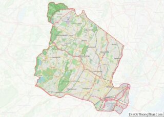
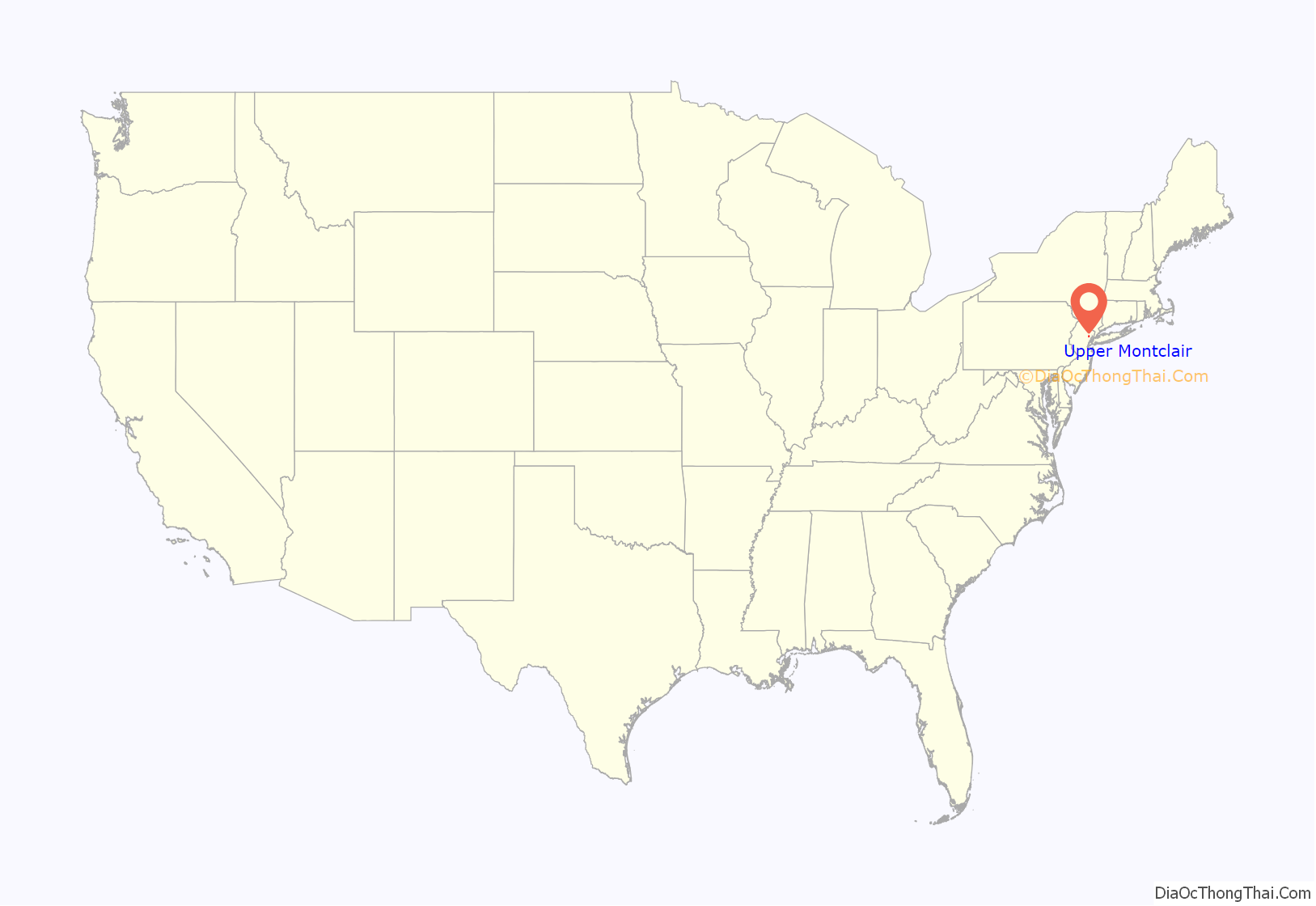
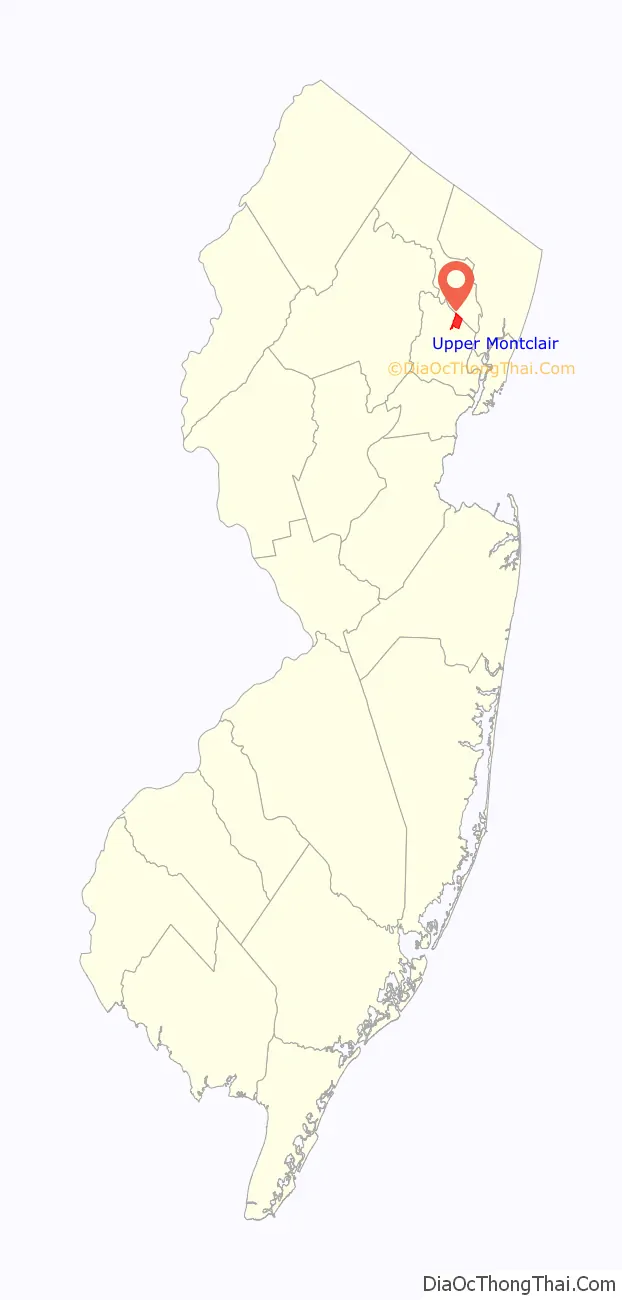
Upper Montclair location map. Where is Upper Montclair CDP?
History
The area now known as Upper Montclair was first developed in the early 18th century as a rural community known as Speertown, named for John Speer, an early Dutch settler. The area remained a rural hamlet for much of that century. The modern township of Montclair, including Upper Montclair, was incorporated in 1868 from part of Bloomfield Township. In the early 21st century, the area became known as Uptown Montclair.
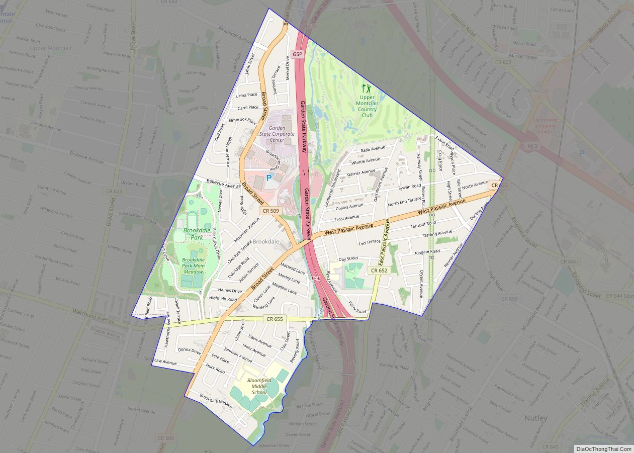
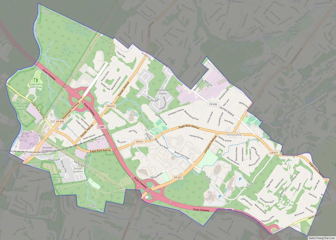
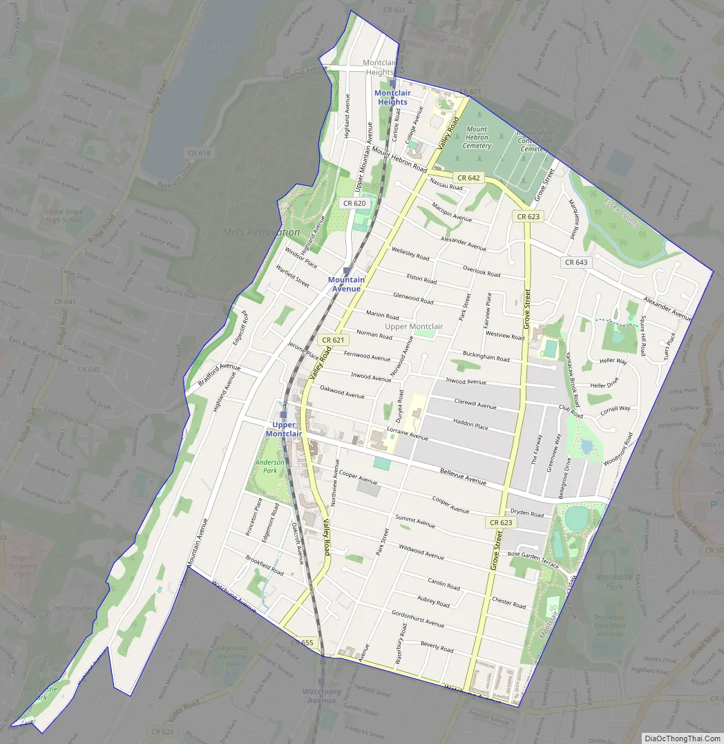
Upper Montclair Road Map
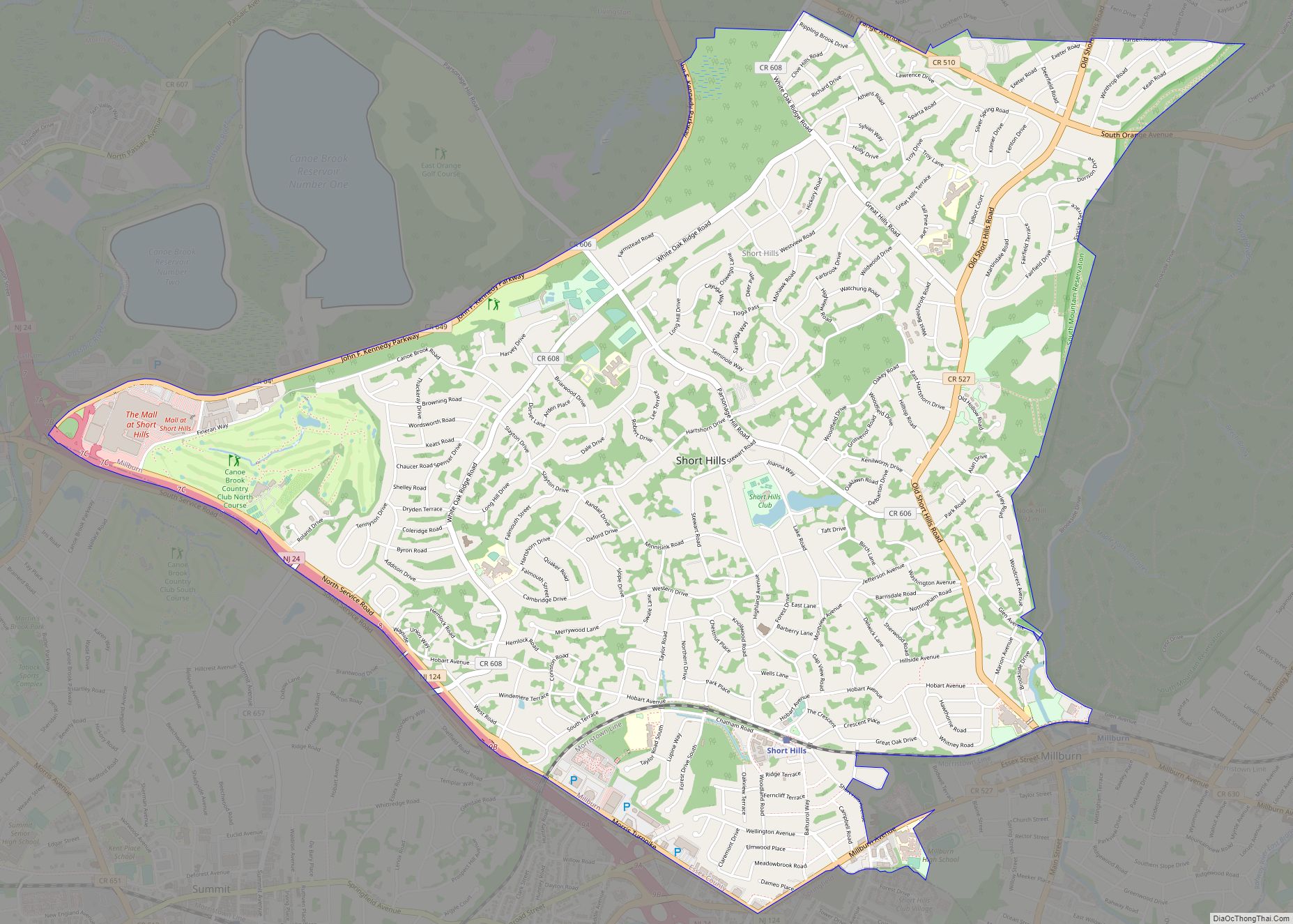
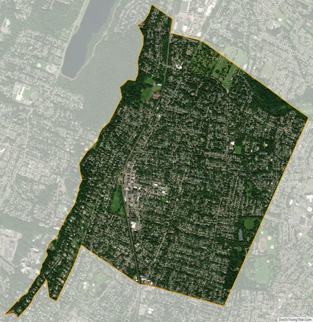
Upper Montclair city Satellite Map
Geography
According to the United States Census Bureau, the CDP had a total area of 2.536 square miles (6.569 km), including 2.535 square miles (6.567 km) of land and 0.001 square miles (0.002 km) of water (0.04%).
Upper Montclair is north of Watchung Avenue, covering 40.2% of Montclair township’s area.
See also
Map of New Jersey State and its subdivision: Map of other states:- Alabama
- Alaska
- Arizona
- Arkansas
- California
- Colorado
- Connecticut
- Delaware
- District of Columbia
- Florida
- Georgia
- Hawaii
- Idaho
- Illinois
- Indiana
- Iowa
- Kansas
- Kentucky
- Louisiana
- Maine
- Maryland
- Massachusetts
- Michigan
- Minnesota
- Mississippi
- Missouri
- Montana
- Nebraska
- Nevada
- New Hampshire
- New Jersey
- New Mexico
- New York
- North Carolina
- North Dakota
- Ohio
- Oklahoma
- Oregon
- Pennsylvania
- Rhode Island
- South Carolina
- South Dakota
- Tennessee
- Texas
- Utah
- Vermont
- Virginia
- Washington
- West Virginia
- Wisconsin
- Wyoming