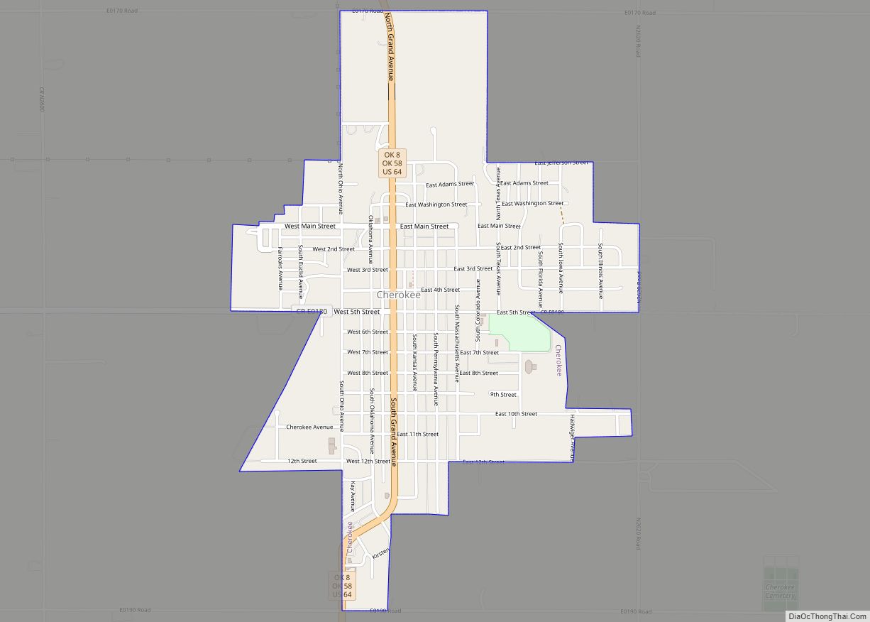
Cherokee is the largest city within, and county seat of, Alfalfa County, Oklahoma, United States. The population was 1,476 at the 2020 census, a decline of 1.5 percent from 2010.
| Name: | Cherokee city |
|---|---|
| LSAD Code: | 25 |
| LSAD Description: | city (suffix) |
| State: | Oklahoma |
| County: | Alfalfa County |
| Elevation: | 1,181 ft (360 m) |
| Total Area: | 2.04 sq mi (5.29 km²) |
| Land Area: | 2.04 sq mi (5.29 km²) |
| Water Area: | 0.00 sq mi (0.00 km²) |
| Total Population: | 1,476 |
| Population Density: | 722.82/sq mi (279.05/km²) |
| ZIP code: | 73728 |
| Area code: | 580 |
| FIPS code: | 4013750 |
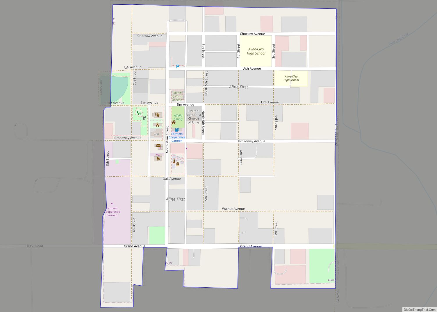
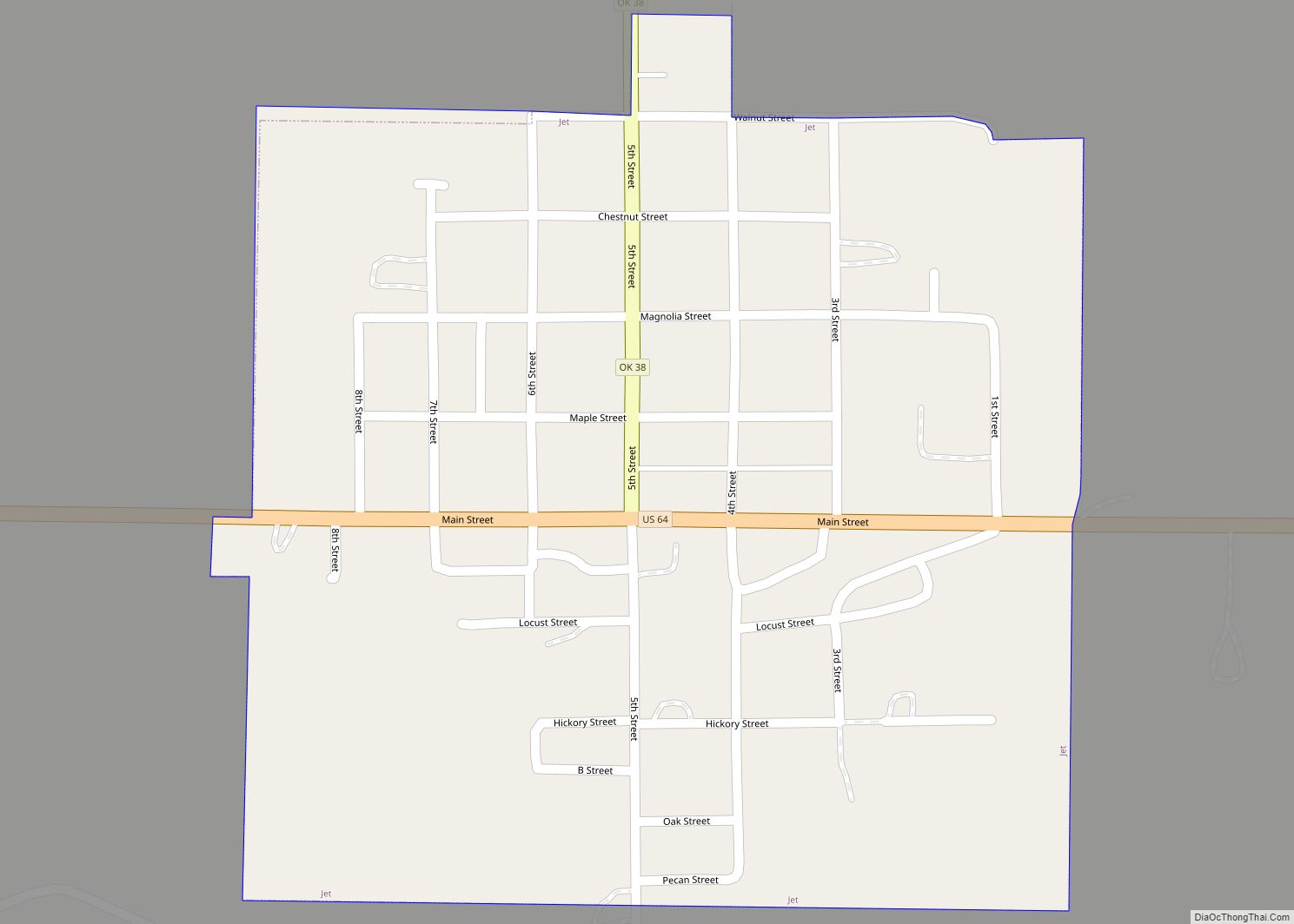
Online Interactive Map
Click on ![]() to view map in "full screen" mode.
to view map in "full screen" mode.
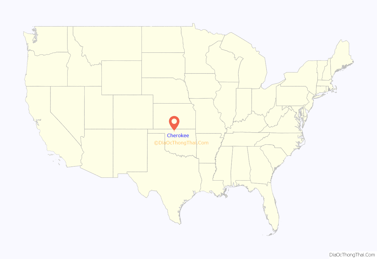
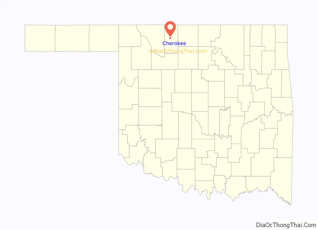
Cherokee location map. Where is Cherokee city?
History
Settlement and founding
After the land opening of 1893, developers wanted to attract railroads to build through the former Cherokee Outlet to transport the large wheat crops to markets. The Kansas and Oklahoma Construction Company, through its subsidiary the Cherokee Investment Company, bought 100 acres (40 ha) along its route, platted the town which it named Cherokee, and held a sale of lots on February 9, 1901. Cherokee officially incorporated in July 1901. Two years later, the Kansas City, Mexico and Orient Railroad (later owned by the Atchison, Topeka and Santa Fe Railway) constructed a line through Cherokee. To gain access to the railroad, residents of the nearby community of Erwin, which already had a post office by that name, relocated to Cherokee. Erwin then ceased to exist and Cherokee took its place. This post office was renamed “Cherokee” in March, 1903.
By 1905, a second railroad, the Denver, Enid, and Gulf, built a line through the community. The community was soon transformed into a dominant regional center for agricultural services, banking, wholesale-retail trade, and transportation, providing markets and services to the surrounding smaller communities, such as Ingersoll, Burlington, Driftwood, Byron, and Amorita. The town grew around its twin railroad depots, and by 1909 Cherokee had three banks, three newspapers, three mills (flour, alfalfa, and planning), a concrete block plant, and a school desk factory. There were also Baptist, Catholic, Christian, Friends, Methodist, and Presbyterian churches.
Alfalfa County itself – named after Governor ‘Alfalfa Bill’ Murray – was created at the time of statehood in 1907, when the state reorganized several counties out of part of what was once the much larger Woods County. Cherokee’s status as the official county seat of Alfalfa County was confirmed in January 1909. The city’s incorporation was reconfirmed in March of that same year.
Years of prosperity
The Masonic hospital was relocated from nearby Aline in 1918. A new high school building was completed in 1921. There were a variety of industries to provide employment, including: Cherokee Mills Company which produced flour, the McDowell Standard Battery Company’s factory, an ice plant, and a planing mill. With a successful bond election, a new county courthouse was completed in 1924. The 1920s also saw a variety of other public projects, including street improvements and public water supply. In addition, oil-field activity within the county during the late 1920s and the mid-1930s contributed to the city’s prosperity, with a half-dozen oil companies maintaining storage facilities near the railroad yards. At the onset of the Great Depression, Cherokee had become “an important urban and trading center.”
Cherokee was better situated than most communities to weather the downturn of the depression. With its many hotels, including: The Hotel Cherokee, Hotel Henderson, the Ideal Hotel, Jobe’s Hotel, and the Orient Hotel, the city’s business owners worked hard to promote the town as a convention destination. They were successful in attracting a variety of organizations including the Oklahoma State Holiness Association, the Woman’s Christian Temperance Union, and the 4-H Clubs in 1933, the Baptist Association and the Tri-County Masonic Association in 1935, and the Oklahoma Press Association Regional Meeting and the Northwestern Oklahoma Baptist Association Annual Dinner in 1936.
By 1936, the city boasted eleven gasoline stations, five automobile dealerships, five garages, plus three lumber yards. There were also four grain elevators in operation, plus an ice cream factory. In addition, Cherokee had nine restaurants, five groceries, two bakeries, two banks, two hardware stores, two department stores, as well as approximately two dozen other retail businesses. Two newspapers, the Alfalfa County News and the Cherokee Messenger, informed the public.
The Works Progress Administration (WPA) completed construction of a National Guard Armory in 1937, along with a public library in 1939. Its proximity to the Great Salt Plains area attracted sporting activities including bird-hunting excursions, which boosted the economy by bringing in hundreds of travelers. Construction of a dam on the Salt Fork of the Arkansas River begun in 1938 – completed in 1941 – would create the Great Salt Plains Lake, making the area even more desirable as a hunting and tourism spot.
1950s onward
The population of Cherokee would peak in 1950, at 2,635, according to the U.S. Census, and continue to trend downward at each enumeration from that decade onward. By 1970, 125 businesses remained operating in a city of 2,119 inhabitants. The county took over the operation of the former Masonic hospital in 1976. A new industrial park was established in that same decade. By 1990, the population had fallen to below 2000 – to 1,787 – for the first time since the city was recognized as the county seat. The Santa Fe Railroad maintained its trunk line running north–south through the mid-1990s, and the city’s east–west line, by then part of the Burlington Northern Santa Fe, ceased operations shortly thereafter.
The city of Cherokee has a city manager form of government. It maintains three parks plus a swimming pool. Cherokee continues to be the home of one of three public school districts (in addition to Burlington and Timberlake) to educate the county’s children. Cherokee has one high school. The school mascot is the Cherokee Chiefs.
National Register of Historic Places designations
Cherokee is the home of several sites listed on the National Register of Historic Places (NRHP), including the Cherokee Friends Church, constructed in 1919, and the Cherokee IOOF Lodge No. 219, built in 1931. Other Cherokee sites listed with the NRHP are the Farmers’ Federation Elevator (ca. 1917), the Alfalfa County Courthouse (ca. 1921), the Cherokee National Guard Armory (ca. 1936), and the Hotel Cherokee (ca. 1929) – which currently serves as the county history center.
Cherokee Road Map
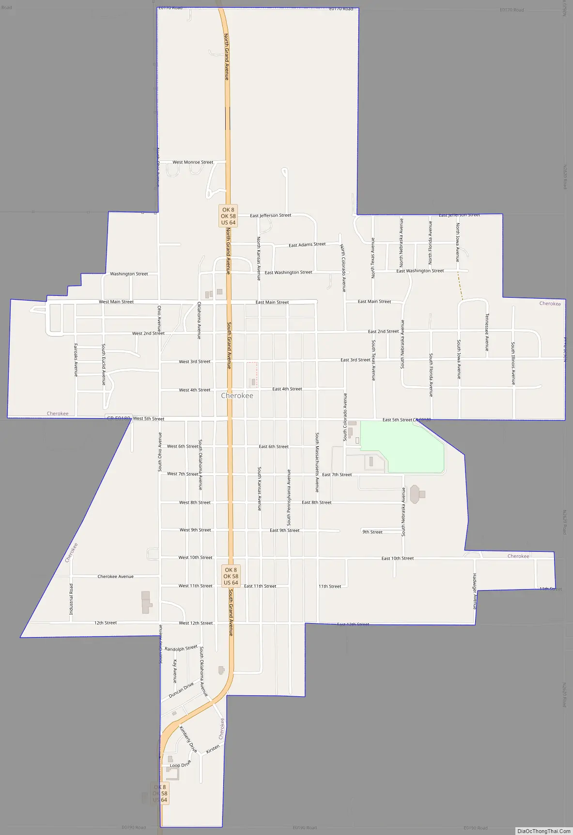
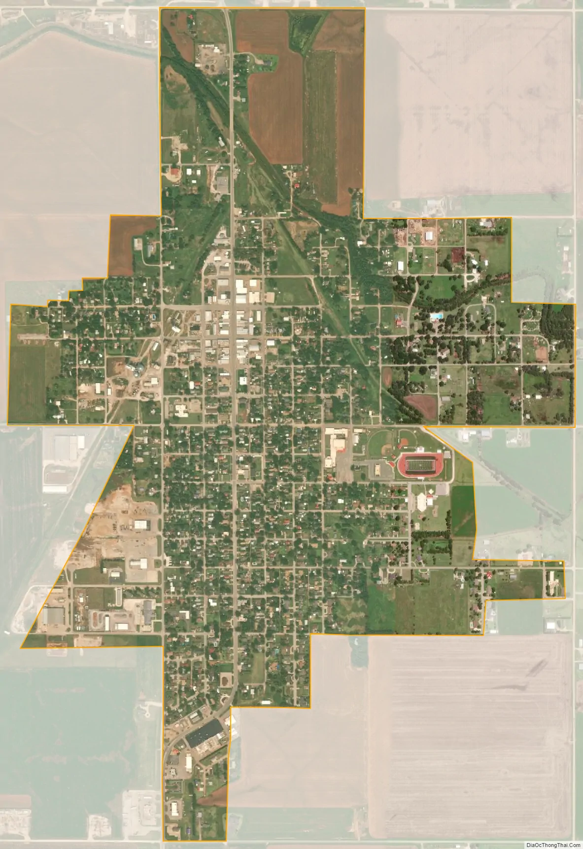
Cherokee city Satellite Map
Geography
Cherokee is located in northern Oklahoma, along U.S. Highway 64/State Highway 8. According to the United States Census Bureau, the city has a total area of 1.473 square miles (3.82 km), all land.
The Salt Plains National Wildlife Refuge is located a few miles southeast of Cherokee. The salt plains are known for their unique hour-glass selenite crystals.
On 11 July 1909, at 3:00 in the morning, a heat burst south of Cherokee reportedly caused the temperature to rise briefly to 136 °F (57.8 °C), desiccating crops in the area.
Climate
Cherokee has a humid subtropical climate (Köppen: Cfa) with influences from a cool semi-arid climate (BSk)
Please note: Many temperatures claiming to be above 56.7 °C (134.1 °F) are unverifiable claims due to improper equipment at site to confirm during the event. The hottest verifiable temperature ever recorded for the state of Oklahoma is 48.8 °C (119.8 °F) The world’s hottest verifiable temperature remains 56.7 °C (134.1 °F), recorded on 10 July 1913 at Furnace Creek Ranch, in Death Valley in the United States.
See also
Map of Oklahoma State and its subdivision:- Adair
- Alfalfa
- Atoka
- Beaver
- Beckham
- Blaine
- Bryan
- Caddo
- Canadian
- Carter
- Cherokee
- Choctaw
- Cimarron
- Cleveland
- Coal
- Comanche
- Cotton
- Craig
- Creek
- Custer
- Delaware
- Dewey
- Ellis
- Garfield
- Garvin
- Grady
- Grant
- Greer
- Harmon
- Harper
- Haskell
- Hughes
- Jackson
- Jefferson
- Johnston
- Kay
- Kingfisher
- Kiowa
- Latimer
- Le Flore
- Lincoln
- Logan
- Love
- Major
- Marshall
- Mayes
- McClain
- McCurtain
- McIntosh
- Murray
- Muskogee
- Noble
- Nowata
- Okfuskee
- Oklahoma
- Okmulgee
- Osage
- Ottawa
- Pawnee
- Payne
- Pittsburg
- Pontotoc
- Pottawatomie
- Pushmataha
- Roger Mills
- Rogers
- Seminole
- Sequoyah
- Stephens
- Texas
- Tillman
- Tulsa
- Wagoner
- Washington
- Washita
- Woods
- Woodward
- Alabama
- Alaska
- Arizona
- Arkansas
- California
- Colorado
- Connecticut
- Delaware
- District of Columbia
- Florida
- Georgia
- Hawaii
- Idaho
- Illinois
- Indiana
- Iowa
- Kansas
- Kentucky
- Louisiana
- Maine
- Maryland
- Massachusetts
- Michigan
- Minnesota
- Mississippi
- Missouri
- Montana
- Nebraska
- Nevada
- New Hampshire
- New Jersey
- New Mexico
- New York
- North Carolina
- North Dakota
- Ohio
- Oklahoma
- Oregon
- Pennsylvania
- Rhode Island
- South Carolina
- South Dakota
- Tennessee
- Texas
- Utah
- Vermont
- Virginia
- Washington
- West Virginia
- Wisconsin
- Wyoming