Burlington is an agricultural center and town in northwestern Alfalfa County, Oklahoma, United States. The population was 152 at the 2010 census.
| Name: | Burlington town |
|---|---|
| LSAD Code: | 43 |
| LSAD Description: | town (suffix) |
| State: | Oklahoma |
| County: | Alfalfa County |
| Elevation: | 1,217 ft (371 m) |
| Total Area: | 0.27 sq mi (0.71 km²) |
| Land Area: | 0.27 sq mi (0.71 km²) |
| Water Area: | 0.00 sq mi (0.00 km²) |
| Total Population: | 124 |
| Population Density: | 454.21/sq mi (175.66/km²) |
| ZIP code: | 73722 |
| Area code: | 580 |
| FIPS code: | 4010050 |
| GNISfeature ID: | 1090717 |
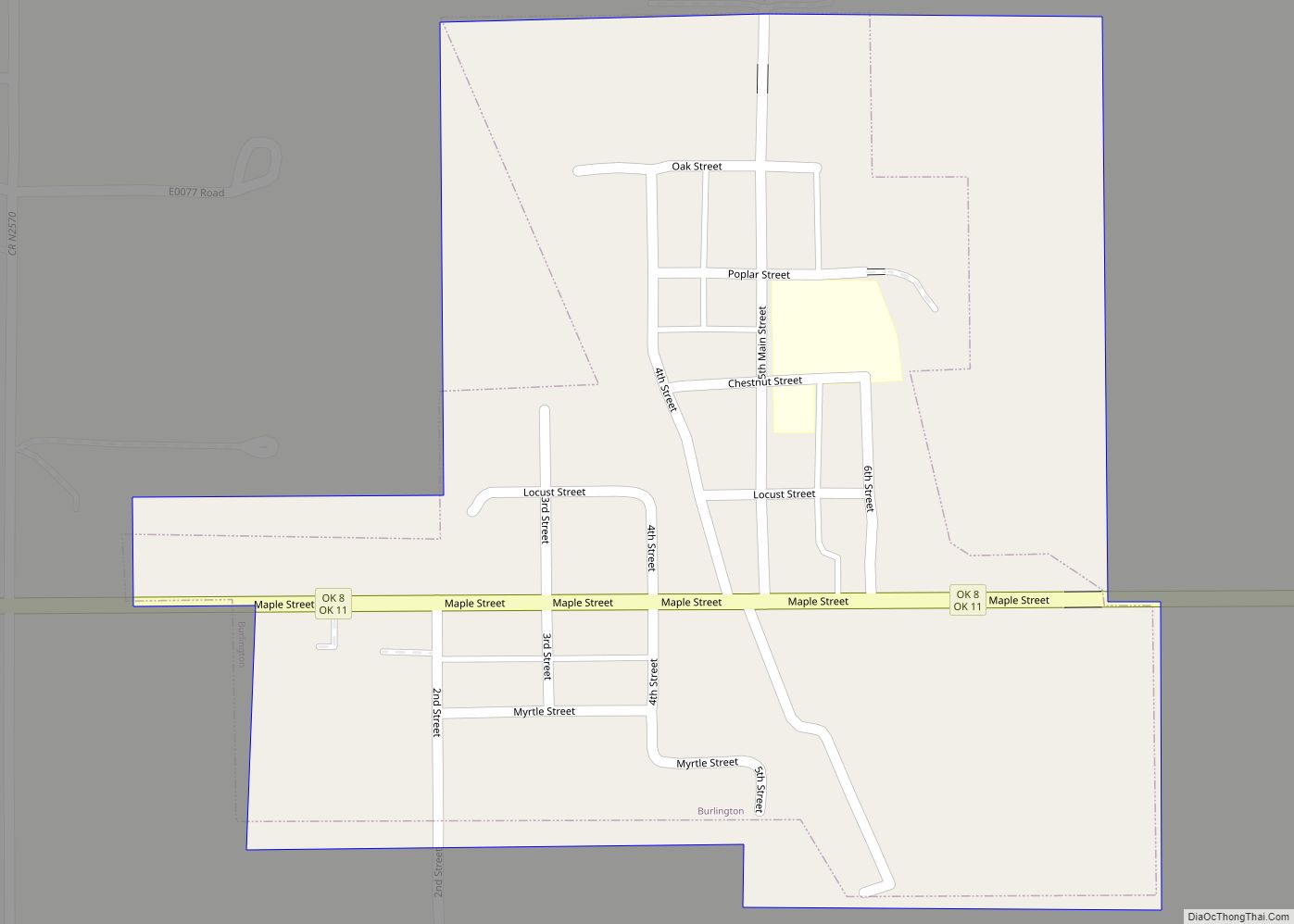
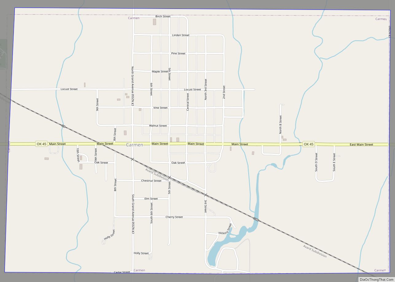
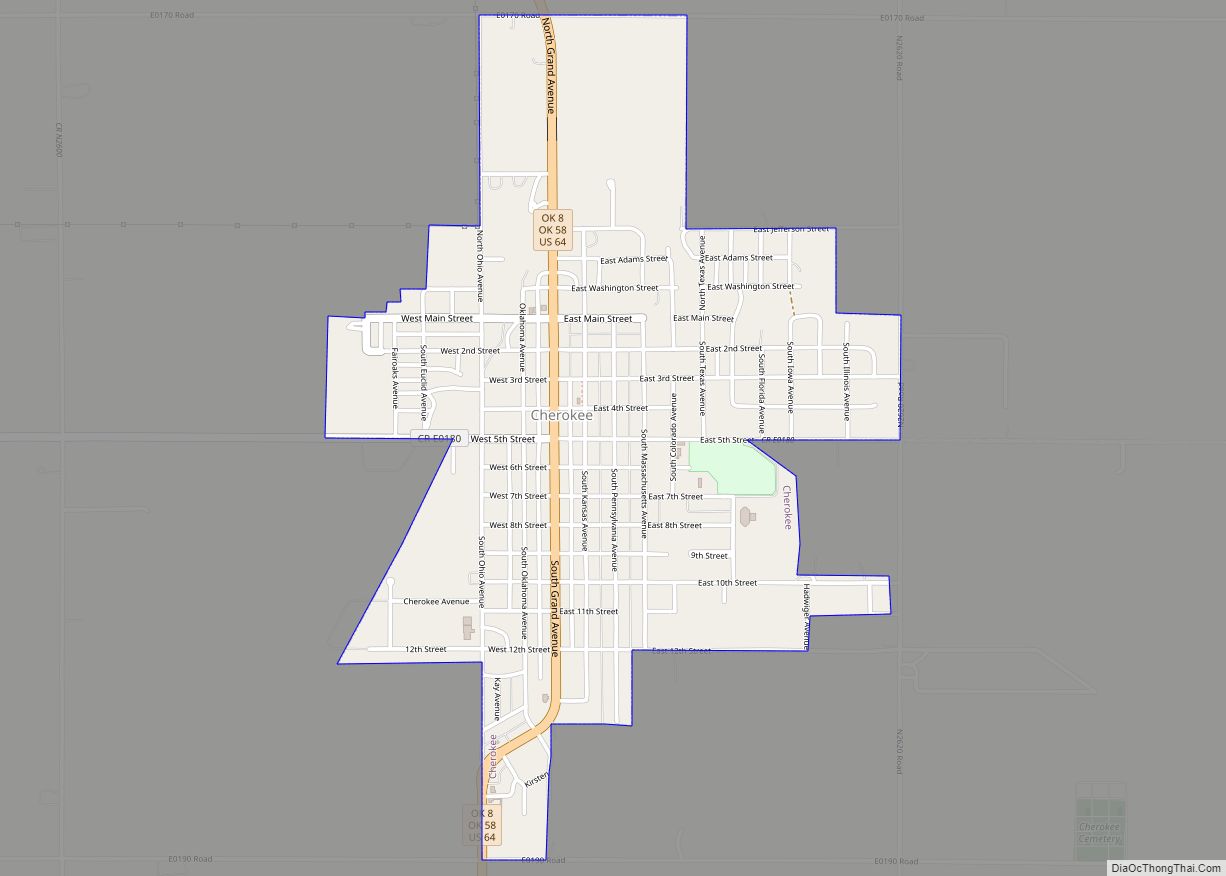
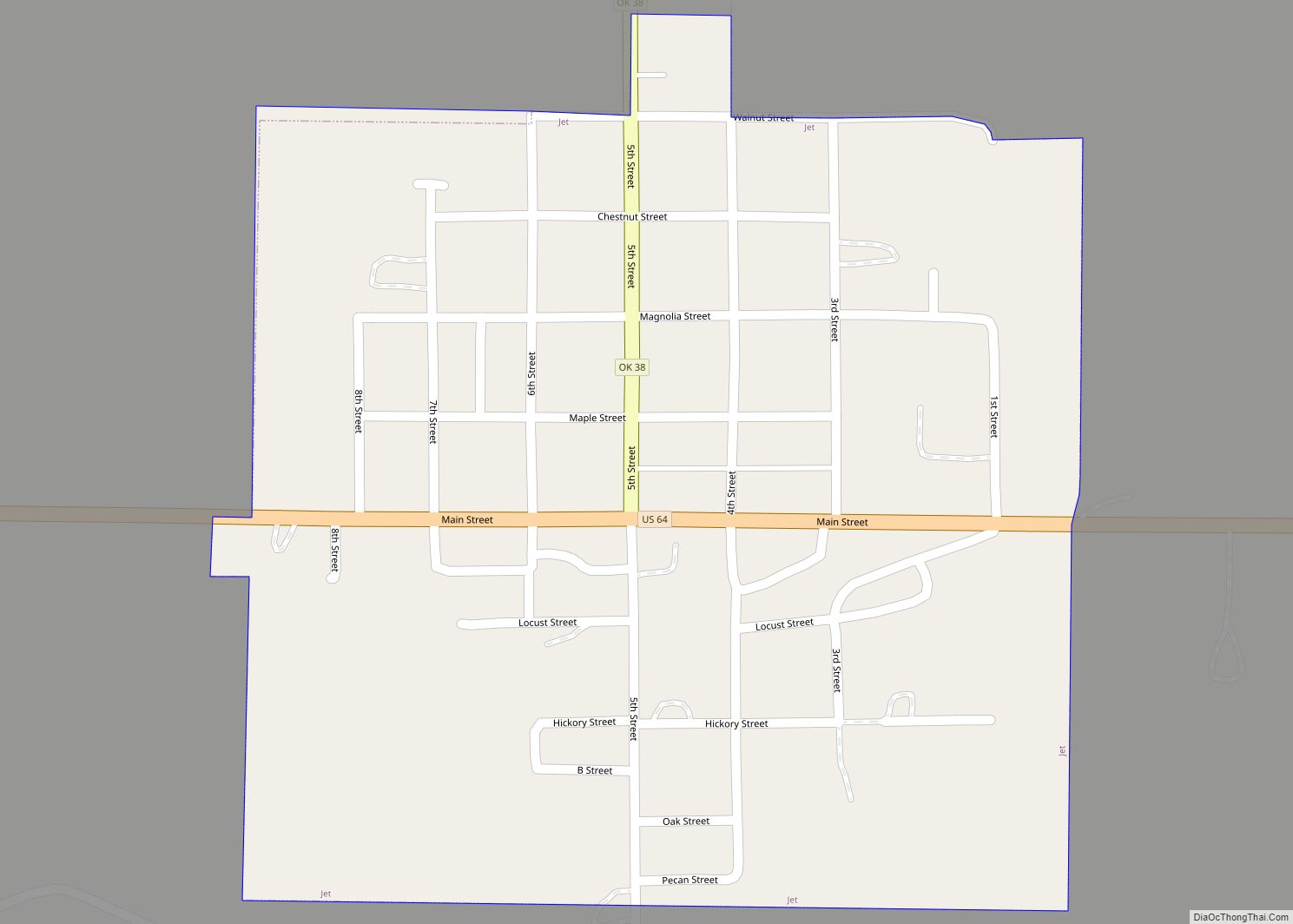
Online Interactive Map
Click on ![]() to view map in "full screen" mode.
to view map in "full screen" mode.
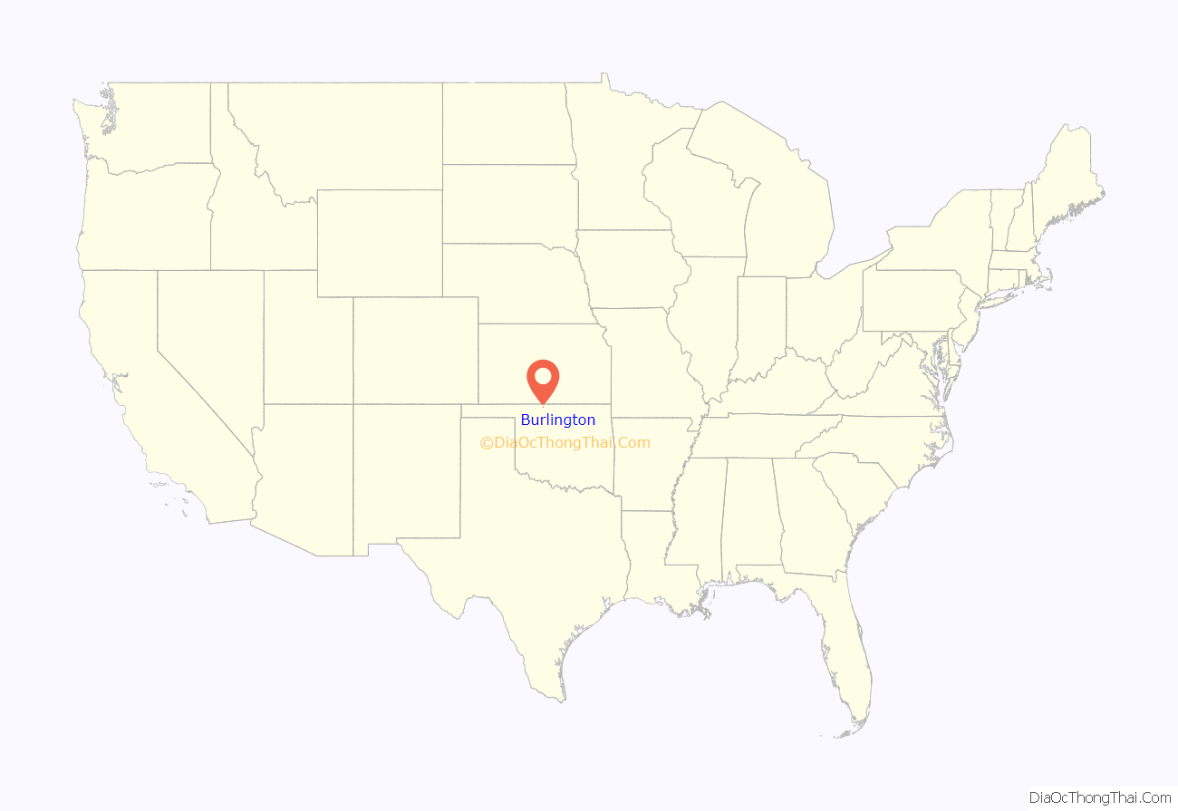
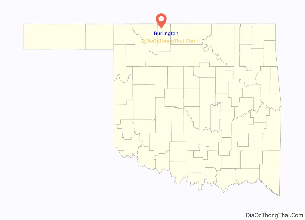
Burlington location map. Where is Burlington town?
History
Originally the town of Burlington was named “Drumm”, for prominent cattle rancher Major Andrew Drumm. Major Drumm had operated the 150,000 acre U Ranch in the area from 1874 until 1888 on land leased from the Cherokees and was a founder of the Cherokee Strip Live Stock Association. Drumm was also the founder of the Andrew Drumm Institute in Independence Missouri.
Its post office was established under the name Drumm on June 6, 1906. But when the initial plans in July 1907 to rename the town “Wheaton” fell through, the town’s name was officially changed to Burlington on August 21 of that year, which it remains to this day.
A member-owned agricultural cooperative called Burlington Grain Company was formed in 1916. It currently operates as Burlington Cooperative Association. The elevator at Burlington has a capacity of 1,774,000 bushels. A second facility in nearby Amorita has storage space of 342,000 bushels.
Alfalfa County’s first consolidated school was organized in Burlington in April 1908. The following year, the first school building was completed. By 1913, it had 150 students and four teachers. A two-story brick building was constructed in 1923. In 1948 a new gymnasium was added. In the 1960s, the schools of Burlington, Driftwood, Byron, and Amorita consolidated into a single school district, located in Burlington. In 1963 a new school building was built. Many additions have been added since that time – the most recent being a band room and agriculture shop addition in 2014. Also in 2014, there were approximately 150 (pre-K-12th) students.
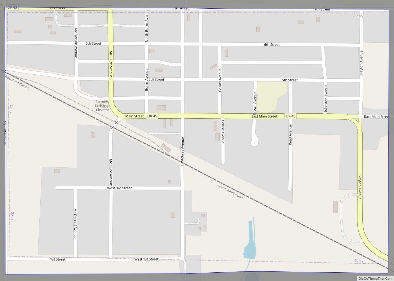
Burlington Road Map
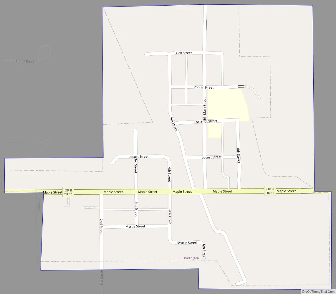
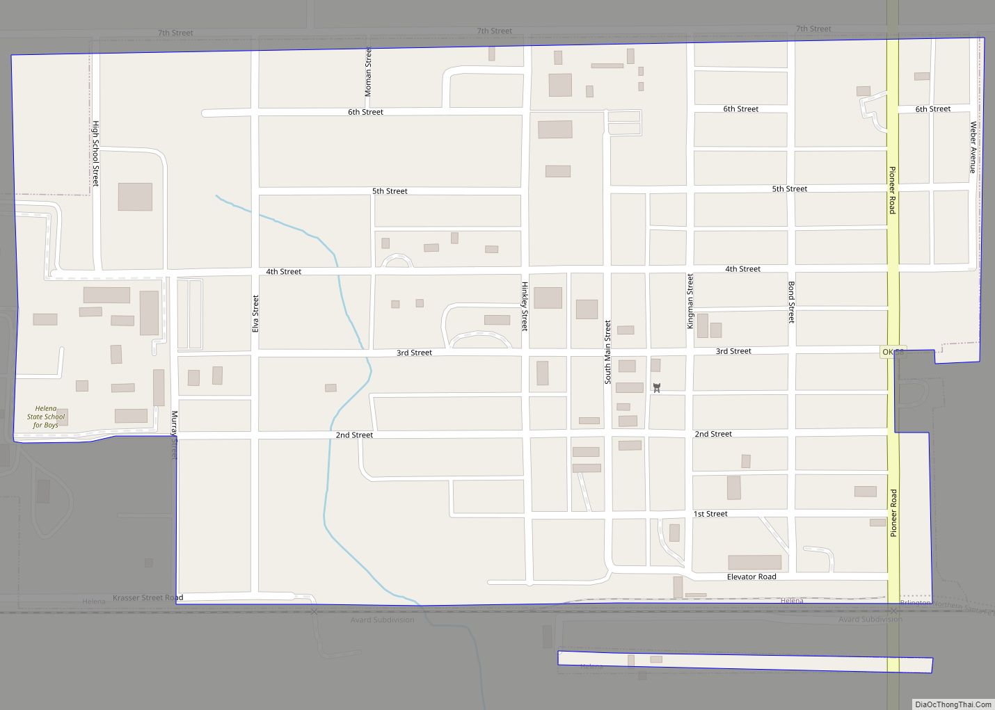
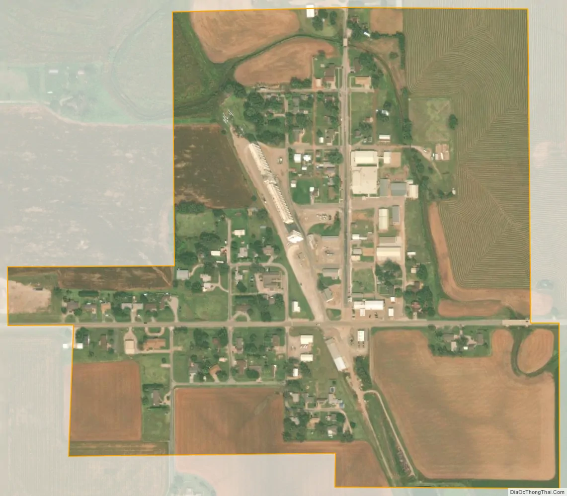
Burlington city Satellite Map
Geography
Burlington lies along State Highway 8/11.
The town has a total area of 0.27 square miles (0.70 km), all land, with a 2014 estimated population of 158, yielding a population density of 575 people per square mile.
As of March, 2016, the cost of living index in Burlington was 78.5 (U.S. average is 100).
See also
Map of Oklahoma State and its subdivision:- Adair
- Alfalfa
- Atoka
- Beaver
- Beckham
- Blaine
- Bryan
- Caddo
- Canadian
- Carter
- Cherokee
- Choctaw
- Cimarron
- Cleveland
- Coal
- Comanche
- Cotton
- Craig
- Creek
- Custer
- Delaware
- Dewey
- Ellis
- Garfield
- Garvin
- Grady
- Grant
- Greer
- Harmon
- Harper
- Haskell
- Hughes
- Jackson
- Jefferson
- Johnston
- Kay
- Kingfisher
- Kiowa
- Latimer
- Le Flore
- Lincoln
- Logan
- Love
- Major
- Marshall
- Mayes
- McClain
- McCurtain
- McIntosh
- Murray
- Muskogee
- Noble
- Nowata
- Okfuskee
- Oklahoma
- Okmulgee
- Osage
- Ottawa
- Pawnee
- Payne
- Pittsburg
- Pontotoc
- Pottawatomie
- Pushmataha
- Roger Mills
- Rogers
- Seminole
- Sequoyah
- Stephens
- Texas
- Tillman
- Tulsa
- Wagoner
- Washington
- Washita
- Woods
- Woodward
- Alabama
- Alaska
- Arizona
- Arkansas
- California
- Colorado
- Connecticut
- Delaware
- District of Columbia
- Florida
- Georgia
- Hawaii
- Idaho
- Illinois
- Indiana
- Iowa
- Kansas
- Kentucky
- Louisiana
- Maine
- Maryland
- Massachusetts
- Michigan
- Minnesota
- Mississippi
- Missouri
- Montana
- Nebraska
- Nevada
- New Hampshire
- New Jersey
- New Mexico
- New York
- North Carolina
- North Dakota
- Ohio
- Oklahoma
- Oregon
- Pennsylvania
- Rhode Island
- South Carolina
- South Dakota
- Tennessee
- Texas
- Utah
- Vermont
- Virginia
- Washington
- West Virginia
- Wisconsin
- Wyoming