Avant is an incorporated community in eastern Osage County, Oklahoma, United States. The population was 320 at the 2010 census, a decline of 14.0 percent from the figure of 372 recorded in 2000.
| Name: | Avant town |
|---|---|
| LSAD Code: | 43 |
| LSAD Description: | town (suffix) |
| State: | Oklahoma |
| County: | Osage County |
| Elevation: | 679 ft (207 m) |
| Total Area: | 1.10 sq mi (2.86 km²) |
| Land Area: | 1.04 sq mi (2.69 km²) |
| Water Area: | 0.07 sq mi (0.17 km²) |
| Total Population: | 301 |
| Population Density: | 289.42/sq mi (111.72/km²) |
| ZIP code: | 74001 |
| FIPS code: | 4003500 |
| GNISfeature ID: | 1089765 |
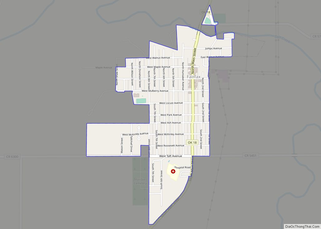
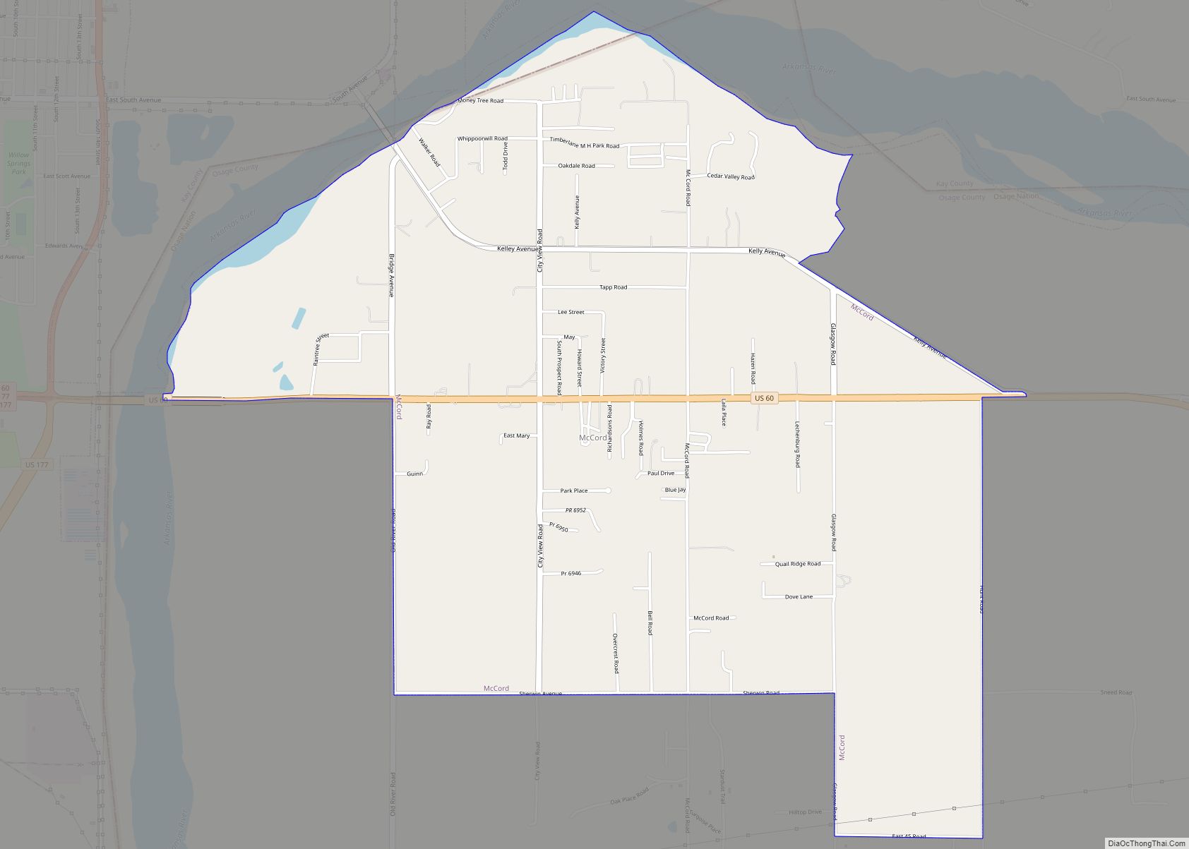
Online Interactive Map
Click on ![]() to view map in "full screen" mode.
to view map in "full screen" mode.
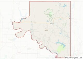
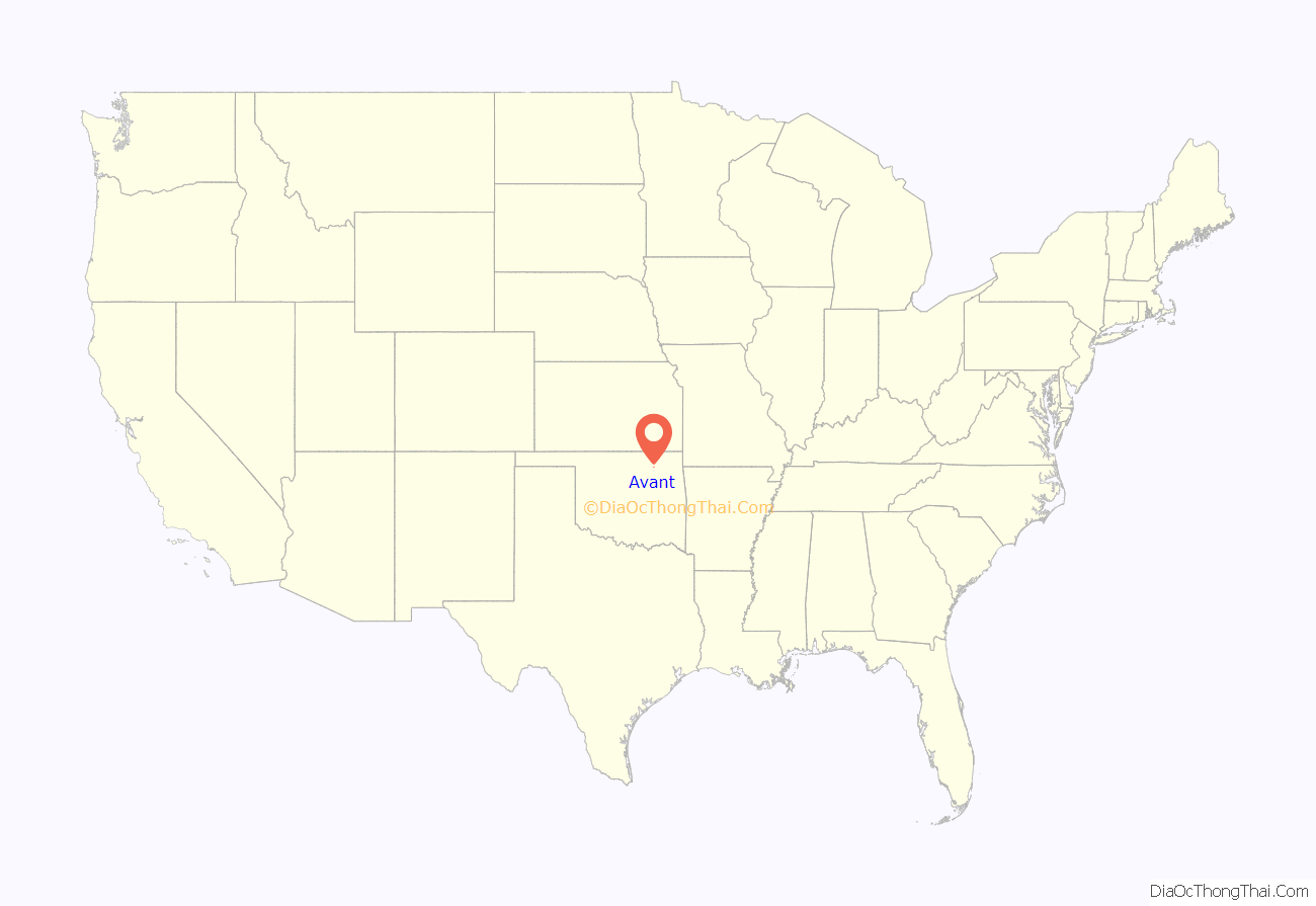
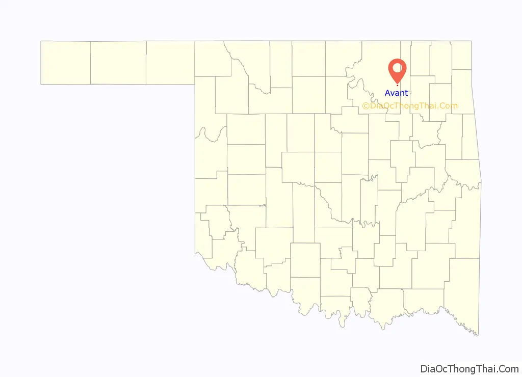
Avant location map. Where is Avant town?
History
Ben Avant, a native of Gonzales, Texas, married Rosalie Rogers, a Cherokee-Osage, and established a ranch in 1896. The Avant oil field was discovered in 1904. The Midland Valley Railroad (later acquired by the Missouri Pacific Railroad) reached the Avant ranch in 1905. A post office named Avant was established in 1906, but the town did not really begin to develop until 1909. Avant’s population peaked at 1,071 in 1920, but declined steadily thereafter. Ben Avant was shot and killed by the town marshal in 1923.
The post office in Avant was slated for possible closure by the US Postal service in 2012, but the postal service website still shows the Avant post office is open as of July, 2020.
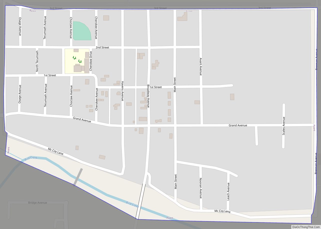
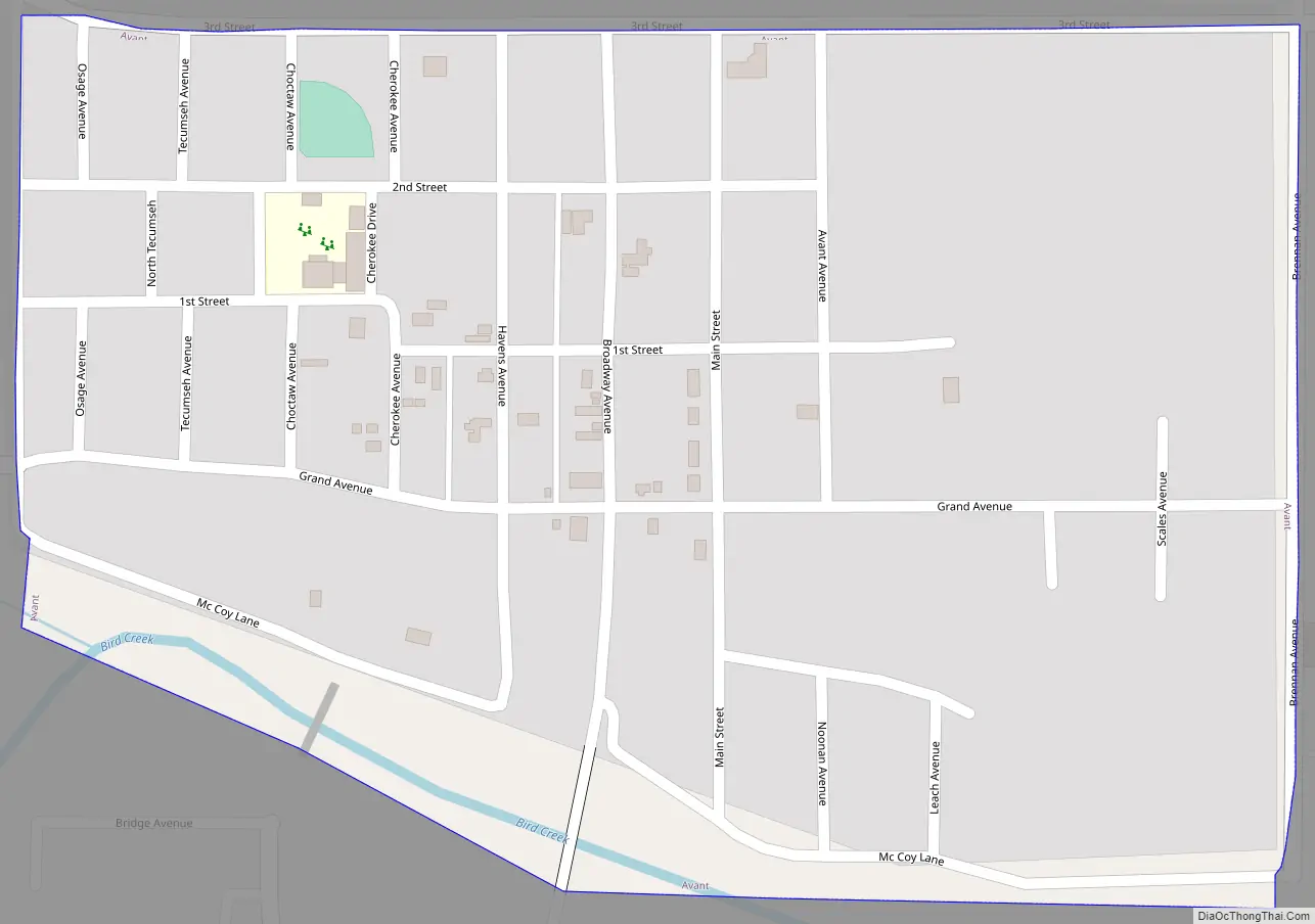
Avant Road Map
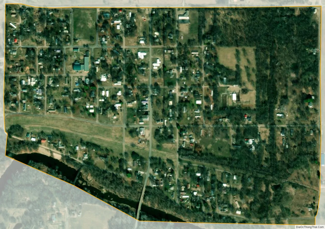
Avant city Satellite Map
Geography
Avant is located at 36°29′19″N 96°3′41″W / 36.48861°N 96.06139°W / 36.48861; -96.06139 (36.488660, -96.061403). It is 26 miles (42 km) southeast of Pawhuska and 30 miles (48 km) north of Tulsa. Avant lies along Bird Creek. Birch Lake is to the west-northwest, while Skiatook Lake is to the southwest.
According to the United States Census Bureau, the town has a total area of 0.3 square miles (0.78 km), all land.
See also
Map of Oklahoma State and its subdivision:- Adair
- Alfalfa
- Atoka
- Beaver
- Beckham
- Blaine
- Bryan
- Caddo
- Canadian
- Carter
- Cherokee
- Choctaw
- Cimarron
- Cleveland
- Coal
- Comanche
- Cotton
- Craig
- Creek
- Custer
- Delaware
- Dewey
- Ellis
- Garfield
- Garvin
- Grady
- Grant
- Greer
- Harmon
- Harper
- Haskell
- Hughes
- Jackson
- Jefferson
- Johnston
- Kay
- Kingfisher
- Kiowa
- Latimer
- Le Flore
- Lincoln
- Logan
- Love
- Major
- Marshall
- Mayes
- McClain
- McCurtain
- McIntosh
- Murray
- Muskogee
- Noble
- Nowata
- Okfuskee
- Oklahoma
- Okmulgee
- Osage
- Ottawa
- Pawnee
- Payne
- Pittsburg
- Pontotoc
- Pottawatomie
- Pushmataha
- Roger Mills
- Rogers
- Seminole
- Sequoyah
- Stephens
- Texas
- Tillman
- Tulsa
- Wagoner
- Washington
- Washita
- Woods
- Woodward
- Alabama
- Alaska
- Arizona
- Arkansas
- California
- Colorado
- Connecticut
- Delaware
- District of Columbia
- Florida
- Georgia
- Hawaii
- Idaho
- Illinois
- Indiana
- Iowa
- Kansas
- Kentucky
- Louisiana
- Maine
- Maryland
- Massachusetts
- Michigan
- Minnesota
- Mississippi
- Missouri
- Montana
- Nebraska
- Nevada
- New Hampshire
- New Jersey
- New Mexico
- New York
- North Carolina
- North Dakota
- Ohio
- Oklahoma
- Oregon
- Pennsylvania
- Rhode Island
- South Carolina
- South Dakota
- Tennessee
- Texas
- Utah
- Vermont
- Virginia
- Washington
- West Virginia
- Wisconsin
- Wyoming