Glenpool is a city in Tulsa County, Oklahoma, United States. It is part of the Tulsa Metropolitan Statistical Area (TMSA). As of 2020, the population was 14,040, which represented an increase of 29.9% since the 2010 census, which reported the total population as 10,808.
Glenpool is notable because the discovery of oil in 1905, which caused an economic boom that propelled the growth of Tulsa and its surroundings. Although the Glenn Pool Oil Reserve, for which the city was named, still produces a small amount of oil; the city is now primarily a commuter town for Tulsa.
| Name: | Glenpool city |
|---|---|
| LSAD Code: | 25 |
| LSAD Description: | city (suffix) |
| State: | Oklahoma |
| County: | Tulsa County |
| Elevation: | 705 ft (215 m) |
| Total Area: | 11.04 sq mi (28.58 km²) |
| Land Area: | 11.04 sq mi (28.58 km²) |
| Water Area: | 0.00 sq mi (0.00 km²) |
| Total Population: | 13,691 |
| Population Density: | 1,240.58/sq mi (479.00/km²) |
| ZIP code: | 74033 |
| Area code: | 539/918 |
| FIPS code: | 4029600 |
| GNISfeature ID: | 1102843 |
| Website: | www.glenpoolonline.com |
Online Interactive Map
Click on ![]() to view map in "full screen" mode.
to view map in "full screen" mode.
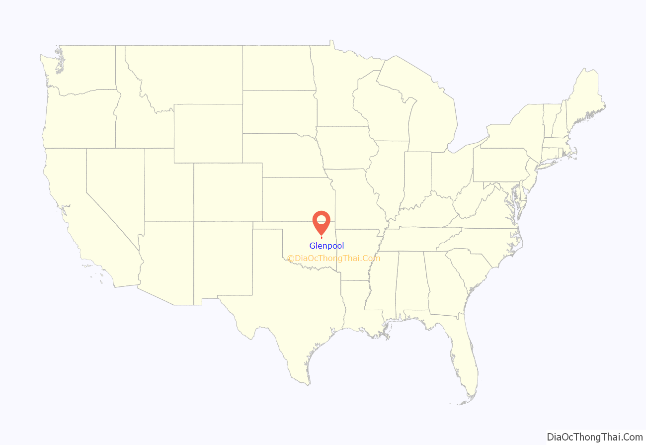
Glenpool location map. Where is Glenpool city?
History
On November 22, 1905, wildcatters, Robert Galbreath Jr. and Frank Chesley (along with, by some accounts, Charles Colcord), drilling for oil on farmland owned by Creek Indian Ida E. Glenn, created the first oil gusher in what would soon be known as the “Glenn Pool”. The discovery set off a boom of growth for the area, bringing in hordes of people: lease buyers, producers, millionaires, laborers, tool suppliers, drunks, swindlers, and newspeople. Daily production soon exceeded 120,000 barrels (19,000 m). The nearby city of Tulsa benefited from the production, and Glenpool calls itself the town that made Tulsa famous.
By the end of 1906 a settlement consisting of twelve families had grown up nearby. In that year, the Midland Valley Railroad extended a track from Jenks. By 1907, nearly 3,000 people had moved to the area, but only about 500 people actually lived in the town in 1910. Lots were platted and a post office opened on January 31, 1908. The new community was renamed “Glenpool.”
Sometime after the discovery, Ida Glenn and her husband, Robert, sold their farm and moved to California.
In the early days, Glenpool was on the route of the Sapulpa & Interurban Railway (“S&I”) streetcar/interurban line connecting to Tulsa through Kiefer and Sapulpa, as well as south to Mounds; S&I subsequently went through a series of mergers and name changes, with only the Tulsa-to-Sapulpa portion continuing as the Tulsa-Sapulpa Union Railway.
Population grew to 428 in 1920, but declined thereafter to 280 in 1950. A post-WWII building boom then pushed the population upward to 353 in 1960. During the 1970s and 1980s, urban sprawl of the city of Tulsa reached Glenpool, and the town became a bedroom suburb. It has been growing since. By 1970 the population had risen to 770, then to 2,706 in 1980.
An annual celebration called “Black Gold Days” is a three-day, family-friendly event with food, music, arts and crafts, a carnival, and a parade. It commemorates the early years of Glenpool’s history.
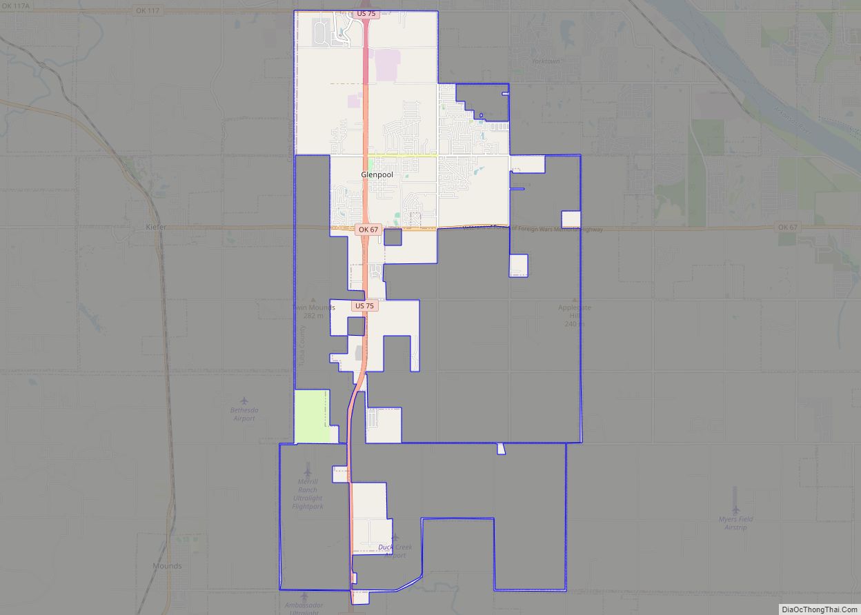
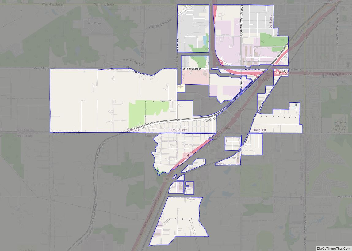
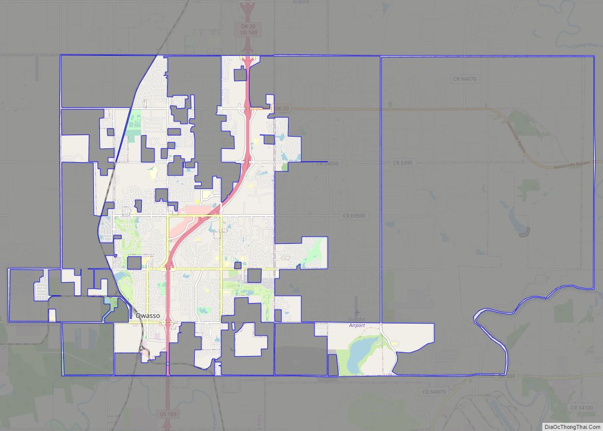
Glenpool Road Map
Glenpool city Satellite Map
Geography
Glenpool is located in the northeastern corner of Oklahoma, approximately 15 miles (24 km) south of downtown Tulsa on U.S. Route 75, a major national north–south artery. The city is on the eastern edge of the Cross Timbers ecoregion, between the Great Plains and the foot of the Ozarks.
According to the United States Census Bureau, the city has a total land area of 10.97 square miles (28.4 km) as of 2020.
See also
Map of Oklahoma State and its subdivision:- Adair
- Alfalfa
- Atoka
- Beaver
- Beckham
- Blaine
- Bryan
- Caddo
- Canadian
- Carter
- Cherokee
- Choctaw
- Cimarron
- Cleveland
- Coal
- Comanche
- Cotton
- Craig
- Creek
- Custer
- Delaware
- Dewey
- Ellis
- Garfield
- Garvin
- Grady
- Grant
- Greer
- Harmon
- Harper
- Haskell
- Hughes
- Jackson
- Jefferson
- Johnston
- Kay
- Kingfisher
- Kiowa
- Latimer
- Le Flore
- Lincoln
- Logan
- Love
- Major
- Marshall
- Mayes
- McClain
- McCurtain
- McIntosh
- Murray
- Muskogee
- Noble
- Nowata
- Okfuskee
- Oklahoma
- Okmulgee
- Osage
- Ottawa
- Pawnee
- Payne
- Pittsburg
- Pontotoc
- Pottawatomie
- Pushmataha
- Roger Mills
- Rogers
- Seminole
- Sequoyah
- Stephens
- Texas
- Tillman
- Tulsa
- Wagoner
- Washington
- Washita
- Woods
- Woodward
- Alabama
- Alaska
- Arizona
- Arkansas
- California
- Colorado
- Connecticut
- Delaware
- District of Columbia
- Florida
- Georgia
- Hawaii
- Idaho
- Illinois
- Indiana
- Iowa
- Kansas
- Kentucky
- Louisiana
- Maine
- Maryland
- Massachusetts
- Michigan
- Minnesota
- Mississippi
- Missouri
- Montana
- Nebraska
- Nevada
- New Hampshire
- New Jersey
- New Mexico
- New York
- North Carolina
- North Dakota
- Ohio
- Oklahoma
- Oregon
- Pennsylvania
- Rhode Island
- South Carolina
- South Dakota
- Tennessee
- Texas
- Utah
- Vermont
- Virginia
- Washington
- West Virginia
- Wisconsin
- Wyoming
