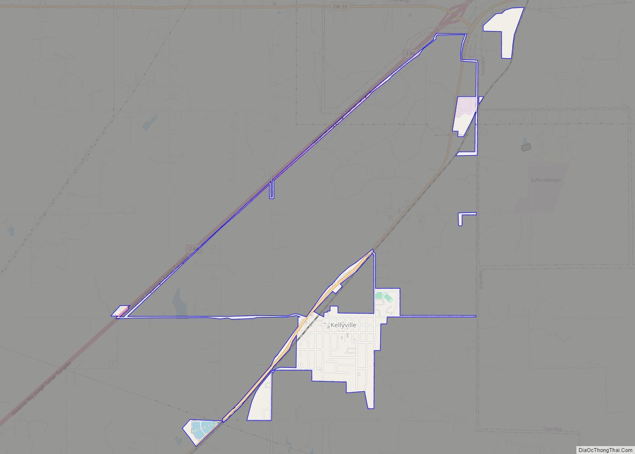
Kellyville is a town in Creek County, Oklahoma, United States. The population was 1,150 at the 2010 census, compared to 906 in 2000.
| Name: | Kellyville town |
|---|---|
| LSAD Code: | 43 |
| LSAD Description: | town (suffix) |
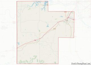
| State: | Oklahoma |
| County: | Creek County |
| Elevation: | 784 ft (239 m) |
| Total Area: | 1.93 sq mi (5.01 km²) |
| Land Area: | 1.93 sq mi (4.99 km²) |
| Water Area: | 0.00 sq mi (0.01 km²) |
| Total Population: | 1,019 |
| Population Density: | 528.53/sq mi (204.03/km²) |
| ZIP code: | 74039 |
| Area code: | 539/918 |
| FIPS code: | 4039000 |
| GNISfeature ID: | 1094318 |
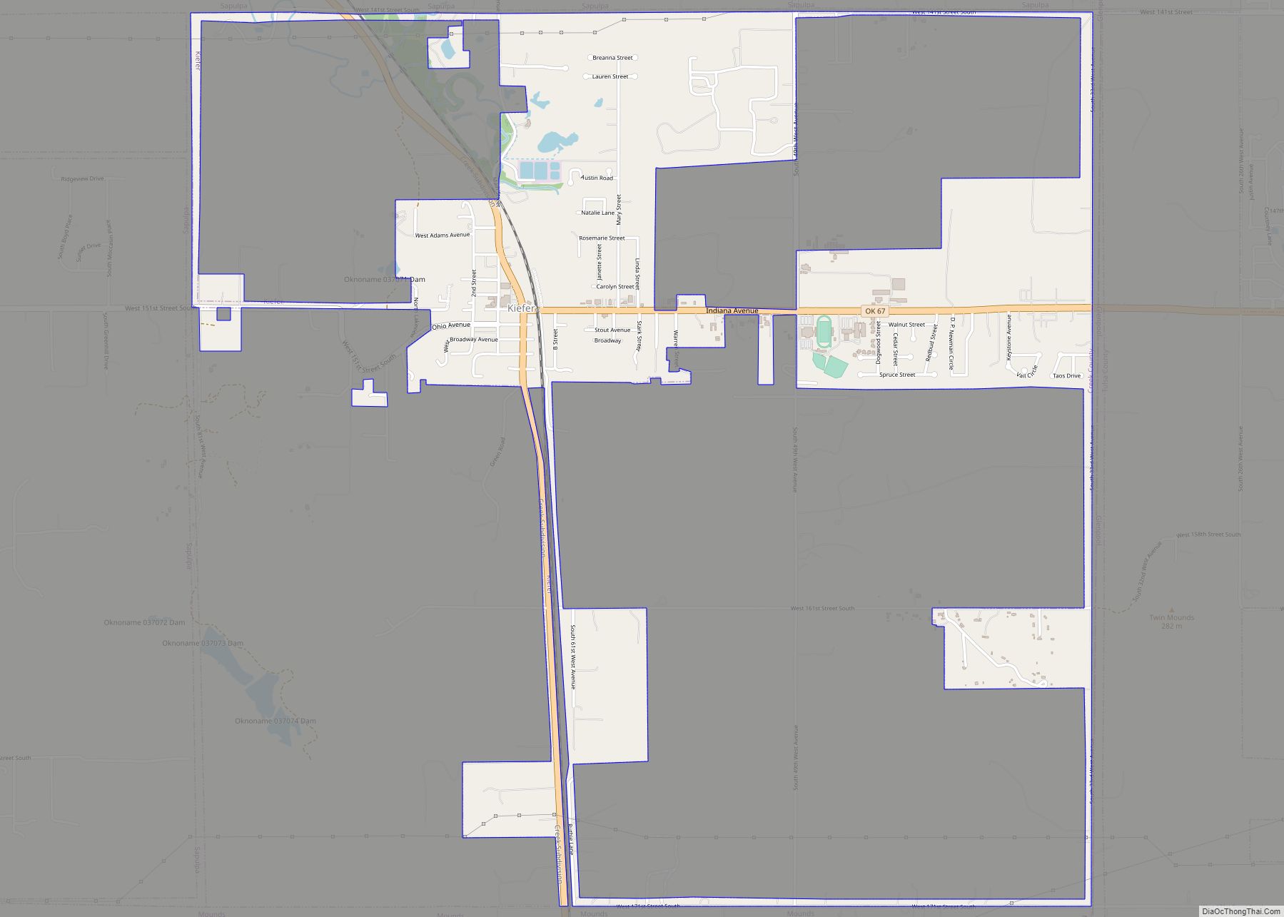
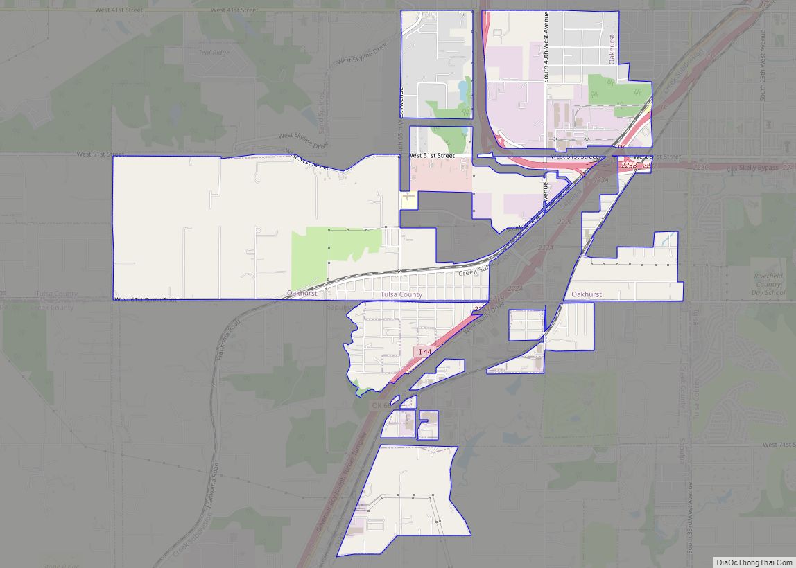
Online Interactive Map
Click on ![]() to view map in "full screen" mode.
to view map in "full screen" mode.
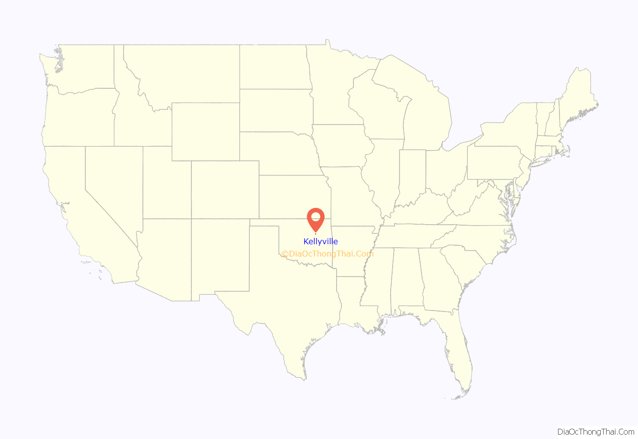
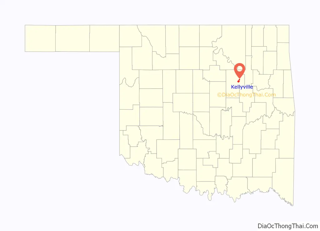
Kellyville location map. Where is Kellyville town?
History
Kellyville was named for James E. Kelly , who established a local trading post in 1892 and opened a post office on November 27, 1893. St. Louis and Oklahoma City Railroad (later merged into the St. Louis and San Francisco Railway) built a line through Kellyville in 1898.
Oklahoma’s worst train disaster took place just west of Kellyville on September 28, 1917, when two Frisco trains collided. Twenty-three people were killed and eighty injured. It remains one of the country’s bloodiest train wrecks due to the large number of cattle deaths. In the early 1970s, there were plans to build a ski resort in Kellyville — Oklahoma’s first — using artificial snow, but the idea was short-lived due to the region’s climate.
Oil and gas were discovered nearby in 1915. This created a population boom and attracted construction of a refinery in Kellyville. By 1930, the population was 548. Although oil and gas production waned, population continued to grow. Now, a significant number of employed residents commute to jobs in Sapulpa and Tulsa. However, Webco Industries has become a major local employer, having opened a corrosion-resistant alloy plant in Kellyville in 2008 which produces specialty nickel alloy and stainless tubing. The plant was significantly expanded in 2018.
Kellyville Road Map
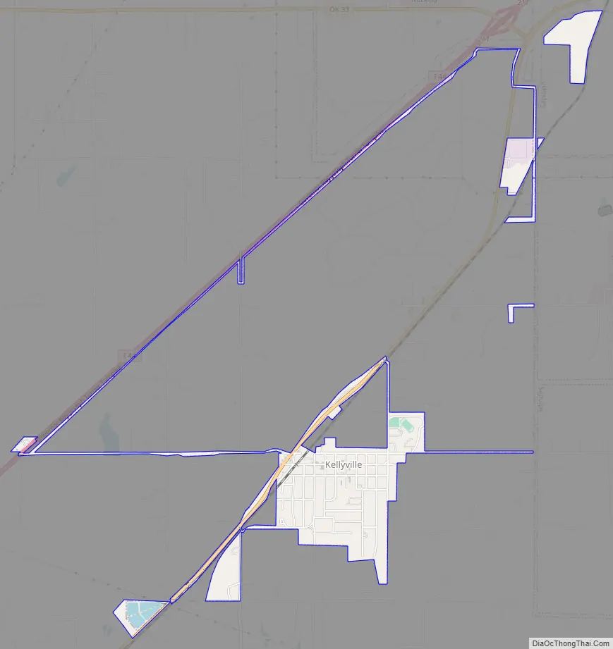
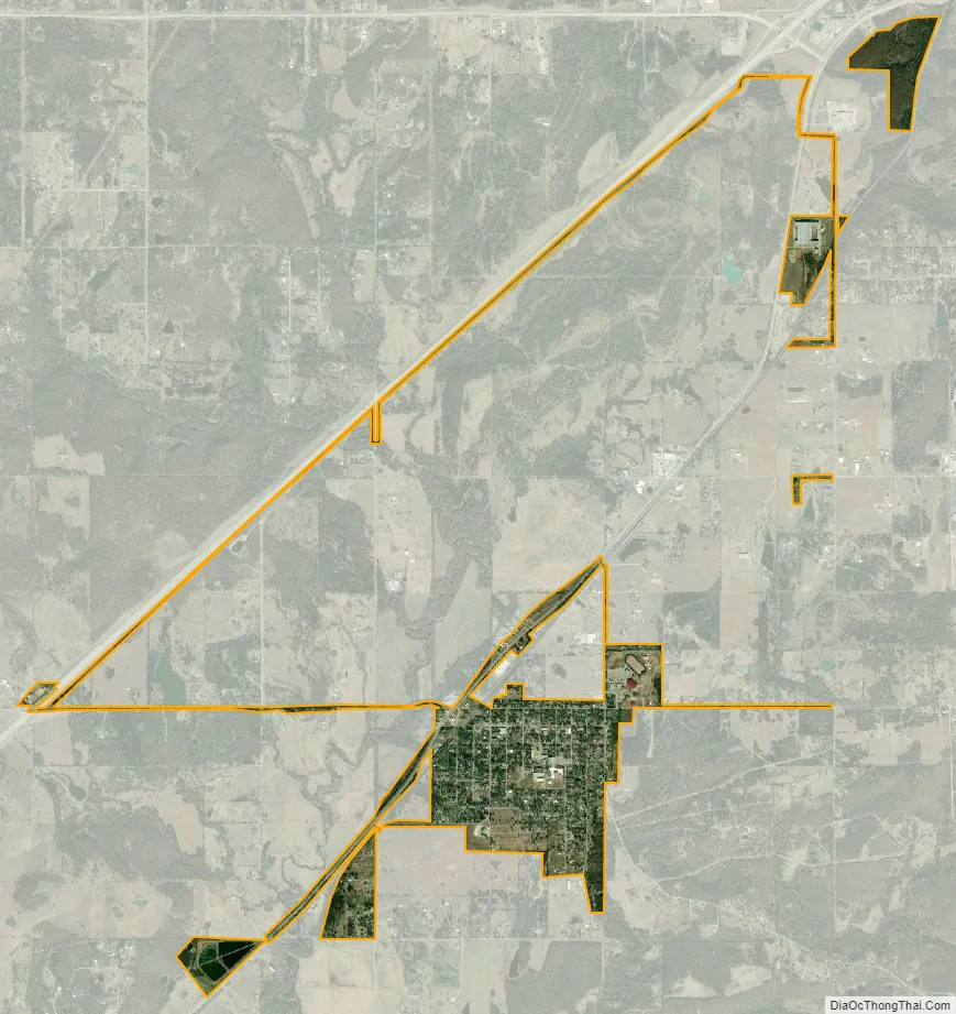
Kellyville city Satellite Map
Geography
Kellyville is located in northeastern Creek County at 35°56′34″N 96°13′10″W / 35.94278°N 96.21944°W / 35.94278; -96.21944 (35.942771, -96.219497). It is approximately 8 miles (13 km) southwest of Sapulpa, the Creek County seat, on Oklahoma State Highway 66 (former U.S. Route 66).
According to the United States Census Bureau, the town has a total area of 1.2 square miles (3.1 km), all land.
See also
Map of Oklahoma State and its subdivision:- Adair
- Alfalfa
- Atoka
- Beaver
- Beckham
- Blaine
- Bryan
- Caddo
- Canadian
- Carter
- Cherokee
- Choctaw
- Cimarron
- Cleveland
- Coal
- Comanche
- Cotton
- Craig
- Creek
- Custer
- Delaware
- Dewey
- Ellis
- Garfield
- Garvin
- Grady
- Grant
- Greer
- Harmon
- Harper
- Haskell
- Hughes
- Jackson
- Jefferson
- Johnston
- Kay
- Kingfisher
- Kiowa
- Latimer
- Le Flore
- Lincoln
- Logan
- Love
- Major
- Marshall
- Mayes
- McClain
- McCurtain
- McIntosh
- Murray
- Muskogee
- Noble
- Nowata
- Okfuskee
- Oklahoma
- Okmulgee
- Osage
- Ottawa
- Pawnee
- Payne
- Pittsburg
- Pontotoc
- Pottawatomie
- Pushmataha
- Roger Mills
- Rogers
- Seminole
- Sequoyah
- Stephens
- Texas
- Tillman
- Tulsa
- Wagoner
- Washington
- Washita
- Woods
- Woodward
- Alabama
- Alaska
- Arizona
- Arkansas
- California
- Colorado
- Connecticut
- Delaware
- District of Columbia
- Florida
- Georgia
- Hawaii
- Idaho
- Illinois
- Indiana
- Iowa
- Kansas
- Kentucky
- Louisiana
- Maine
- Maryland
- Massachusetts
- Michigan
- Minnesota
- Mississippi
- Missouri
- Montana
- Nebraska
- Nevada
- New Hampshire
- New Jersey
- New Mexico
- New York
- North Carolina
- North Dakota
- Ohio
- Oklahoma
- Oregon
- Pennsylvania
- Rhode Island
- South Carolina
- South Dakota
- Tennessee
- Texas
- Utah
- Vermont
- Virginia
- Washington
- West Virginia
- Wisconsin
- Wyoming