Lambert is a town in Alfalfa County, Oklahoma, United States. The population was six at the 2010 census.
| Name: | Lambert town |
|---|---|
| LSAD Code: | 43 |
| LSAD Description: | town (suffix) |
| State: | Oklahoma |
| County: | Alfalfa County |
| Elevation: | 1,276 ft (389 m) |
| Total Area: | 0.11 sq mi (0.29 km²) |
| Land Area: | 0.11 sq mi (0.29 km²) |
| Water Area: | 0.00 sq mi (0.00 km²) |
| Total Population: | 5 |
| Population Density: | 44.64/sq mi (17.20/km²) |
| FIPS code: | 4041300 |
| GNISfeature ID: | 1094491 |
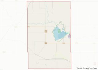
Online Interactive Map
Click on ![]() to view map in "full screen" mode.
to view map in "full screen" mode.
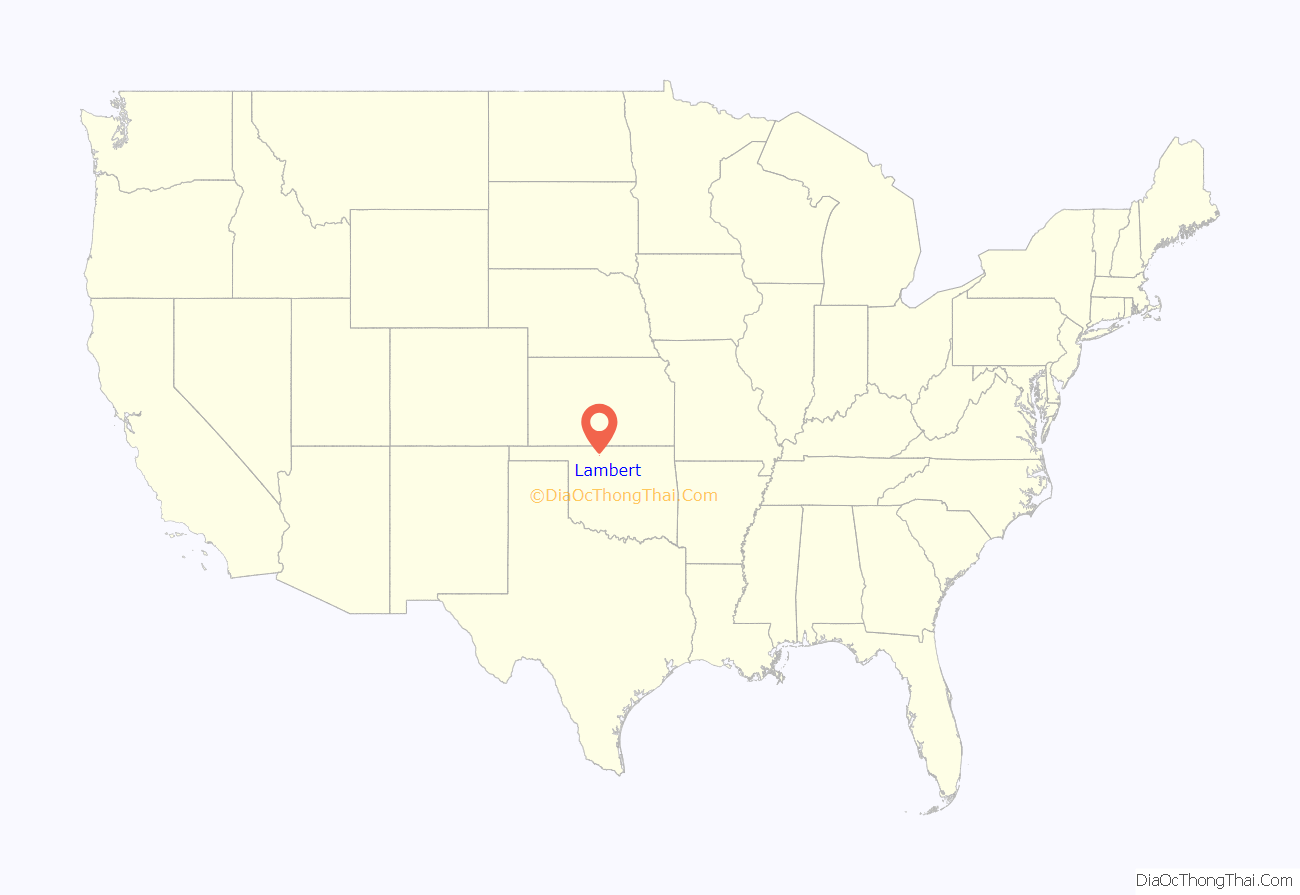
Lambert location map. Where is Lambert town?
History
The town of Lambert was named after Ambrose Lambert, who owned the original townsite. Lambert is contiguous to the similar small community of Yewed directly to its east. Part of the area known as the Cherokee Outlet, Lambert was originally part of Woods County after 1893 until the time of statehood in 1907, when the area became part of newly formed Alfalfa County.
The Choctaw Northern railway (later owned by the Chicago, Rock Island and Pacific ), which in 1901 became the county’s first railroad, connected Lambert to the other Alfalfa county towns of Aline, Augusta, Ingersoll, Driftwood, Amorita, and on into Kansas. Lambert had a U.S. Post Office beginning in November 21, 1901 and remaining open until April 30, 1952.
By 1909, Lambert had 127 inhabitants and four churches, a hotel, a bank, an elevator, and two grain buyers. In addition, a half-dozen stores served the local community. Its population peaked in 1920 at 130, and by 2010 it had only 6 remaining residents.
Distinctions
- Lambert’s Farmers’ Bank had the peculiar distinction of having been robbed twice, first in 1904 and then again in 1919.
- Newbery Medal-winning author (1958) and Oklahoma Sports Hall of Fame inductee (1987), Harold Keith was born in Lambert on April 8, 1903.
Lambert Road Map
Lambert city Satellite Map
Geography
Lambert is located at 36°40′59″N 98°25′23″W / 36.68306°N 98.42306°W / 36.68306; -98.42306 (36.6830868, -98.4231315).
According to the United States Census Bureau, the town has a total area of 0.1 square miles (0.26 km), all land.
Lambert is not served by the Oklahoma state highway system.
See also
Map of Oklahoma State and its subdivision:- Adair
- Alfalfa
- Atoka
- Beaver
- Beckham
- Blaine
- Bryan
- Caddo
- Canadian
- Carter
- Cherokee
- Choctaw
- Cimarron
- Cleveland
- Coal
- Comanche
- Cotton
- Craig
- Creek
- Custer
- Delaware
- Dewey
- Ellis
- Garfield
- Garvin
- Grady
- Grant
- Greer
- Harmon
- Harper
- Haskell
- Hughes
- Jackson
- Jefferson
- Johnston
- Kay
- Kingfisher
- Kiowa
- Latimer
- Le Flore
- Lincoln
- Logan
- Love
- Major
- Marshall
- Mayes
- McClain
- McCurtain
- McIntosh
- Murray
- Muskogee
- Noble
- Nowata
- Okfuskee
- Oklahoma
- Okmulgee
- Osage
- Ottawa
- Pawnee
- Payne
- Pittsburg
- Pontotoc
- Pottawatomie
- Pushmataha
- Roger Mills
- Rogers
- Seminole
- Sequoyah
- Stephens
- Texas
- Tillman
- Tulsa
- Wagoner
- Washington
- Washita
- Woods
- Woodward
- Alabama
- Alaska
- Arizona
- Arkansas
- California
- Colorado
- Connecticut
- Delaware
- District of Columbia
- Florida
- Georgia
- Hawaii
- Idaho
- Illinois
- Indiana
- Iowa
- Kansas
- Kentucky
- Louisiana
- Maine
- Maryland
- Massachusetts
- Michigan
- Minnesota
- Mississippi
- Missouri
- Montana
- Nebraska
- Nevada
- New Hampshire
- New Jersey
- New Mexico
- New York
- North Carolina
- North Dakota
- Ohio
- Oklahoma
- Oregon
- Pennsylvania
- Rhode Island
- South Carolina
- South Dakota
- Tennessee
- Texas
- Utah
- Vermont
- Virginia
- Washington
- West Virginia
- Wisconsin
- Wyoming
