Oakhurst is an unincorporated community and census-designated place (CDP) in Creek and Tulsa counties in the U.S. state of Oklahoma. The population was 2,185 at the 2010 census, a loss of 20 percent from 2,731 at the 2000 census.
| Name: | Oakhurst CDP |
|---|---|
| LSAD Code: | 57 |
| LSAD Description: | CDP (suffix) |
| State: | Oklahoma |
| County: | Creek County, Tulsa County |
| Elevation: | 768 ft (234 m) |
| Total Area: | 5.54 sq mi (14.34 km²) |
| Land Area: | 5.54 sq mi (14.34 km²) |
| Water Area: | 0.00 sq mi (0.01 km²) |
| Total Population: | 2,262 |
| Population Density: | 408.60/sq mi (157.77/km²) |
| ZIP code: | 74050 |
| Area code: | 539/918 |
| FIPS code: | 4053350 |
| GNISfeature ID: | 1096147 |
Online Interactive Map
Click on ![]() to view map in "full screen" mode.
to view map in "full screen" mode.
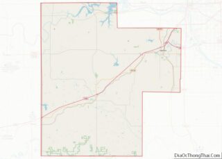
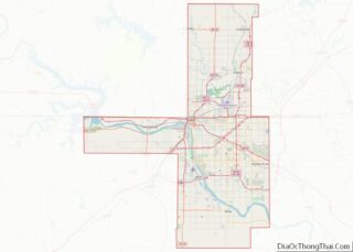
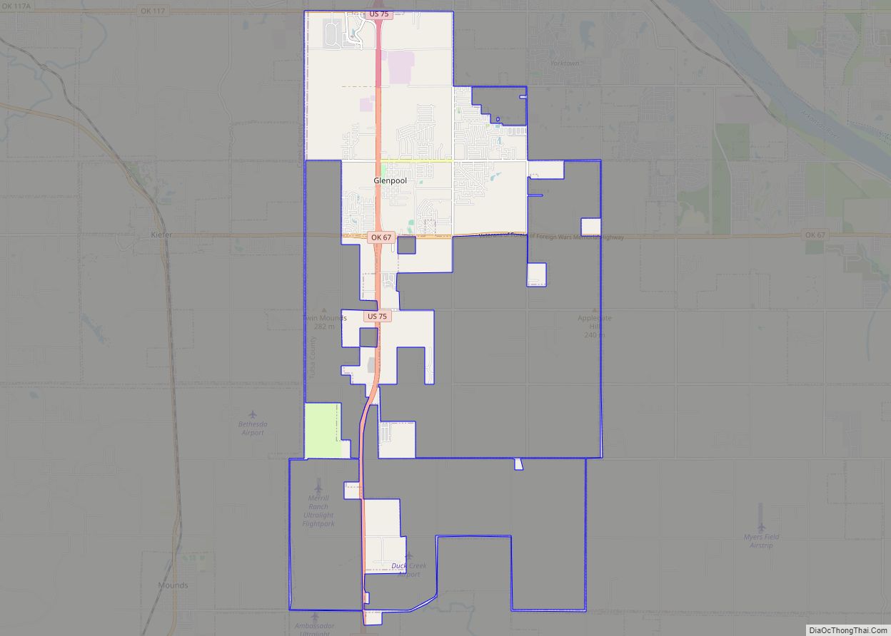
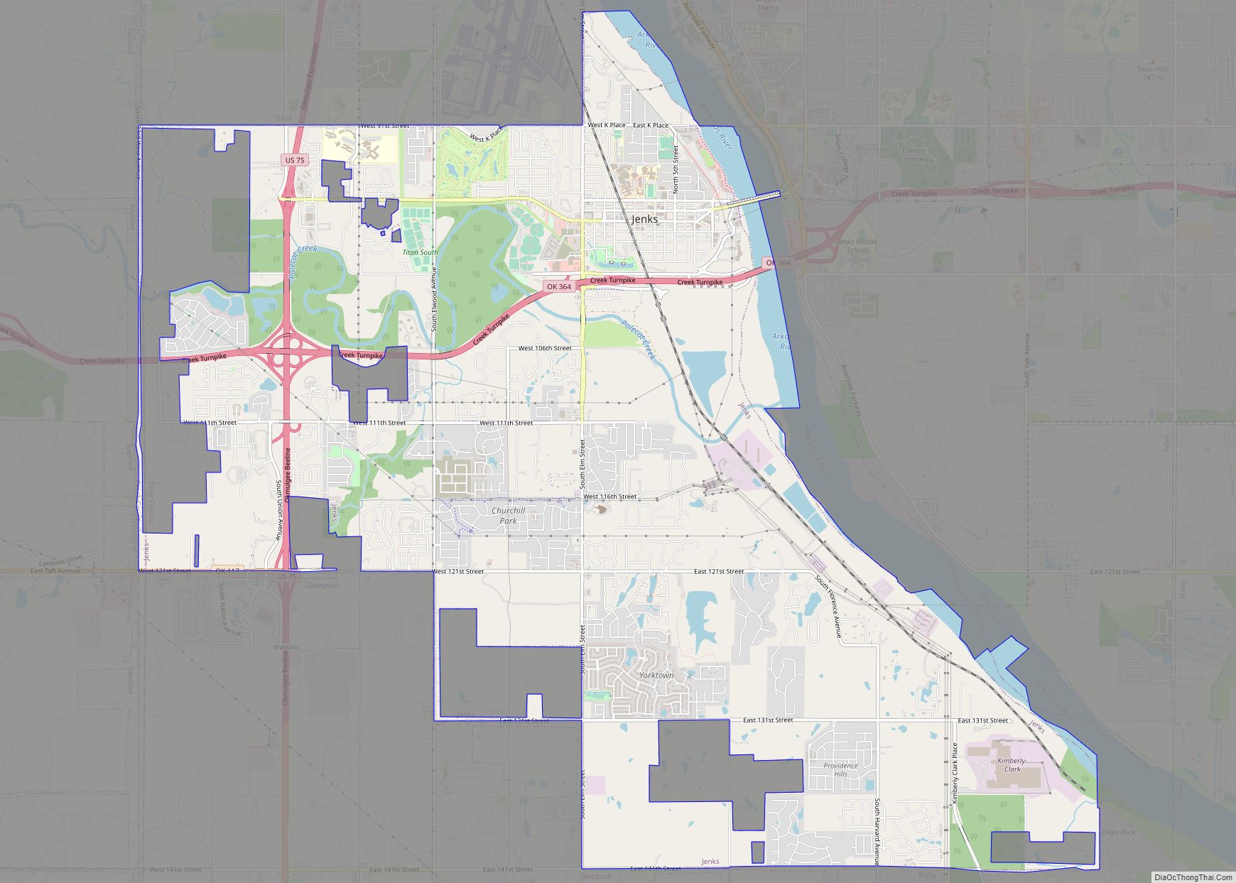
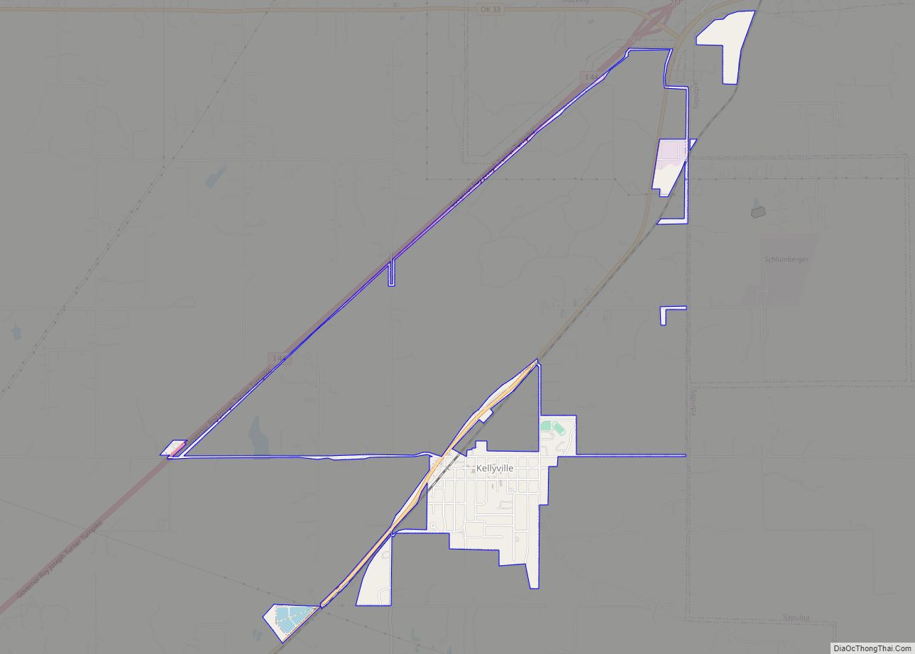
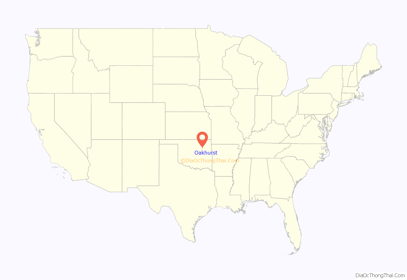
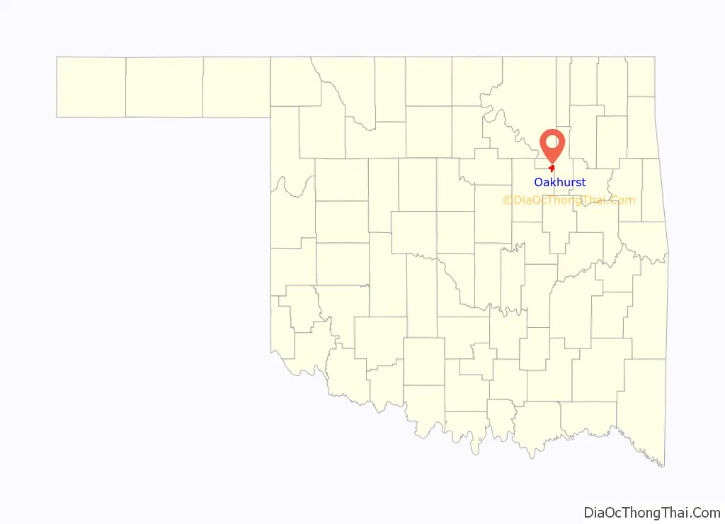
Oakhurst location map. Where is Oakhurst CDP?
History
Oakhurst was established in 1918.
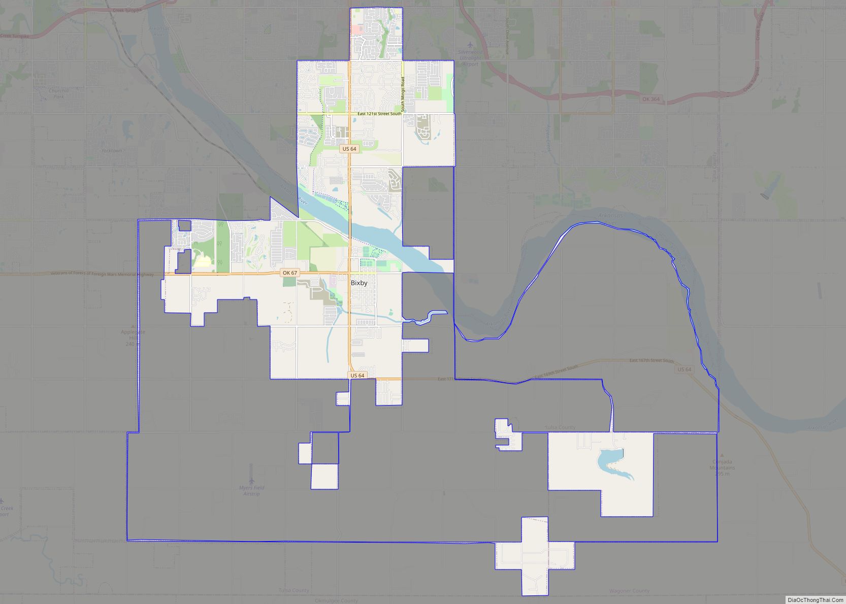
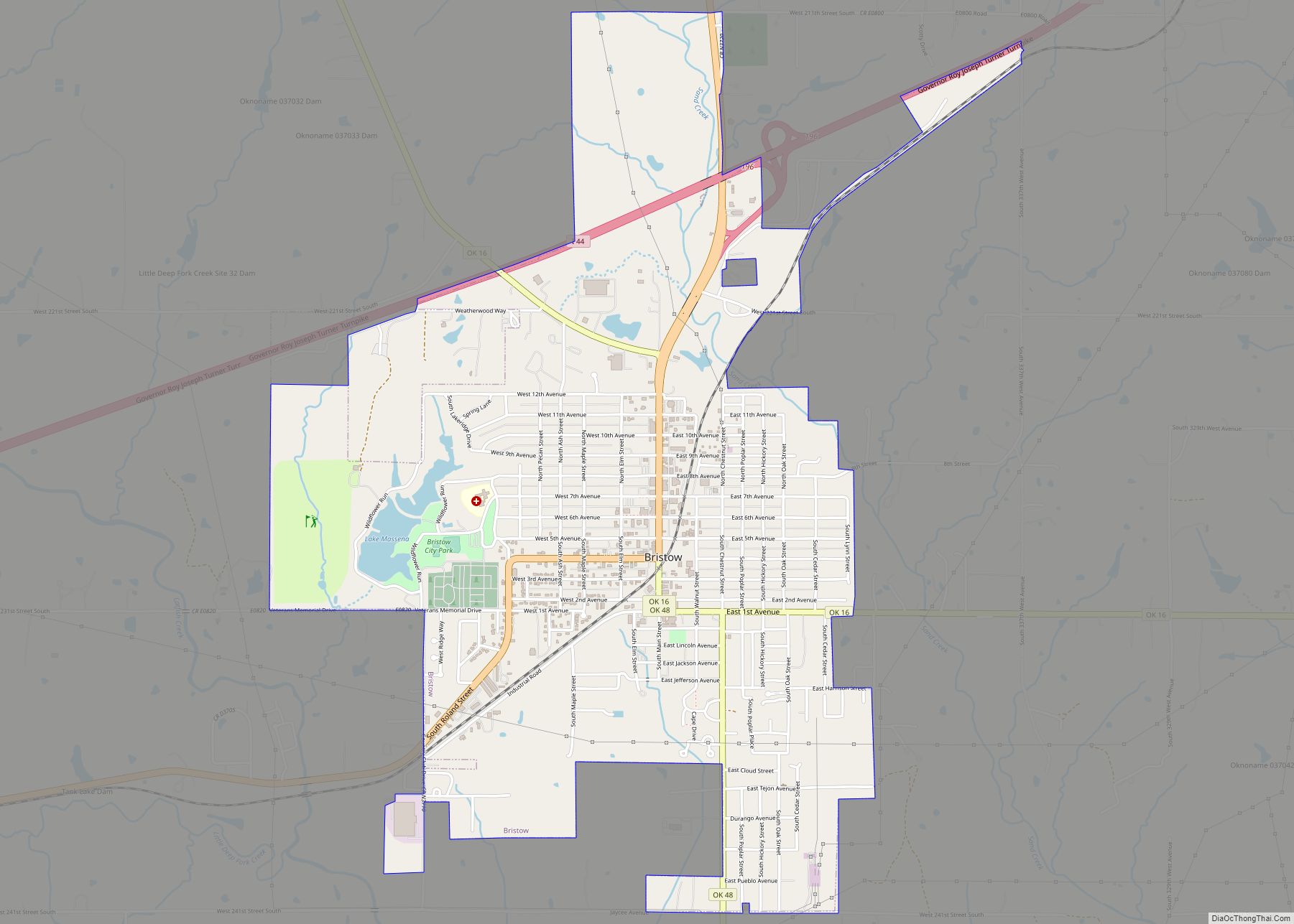
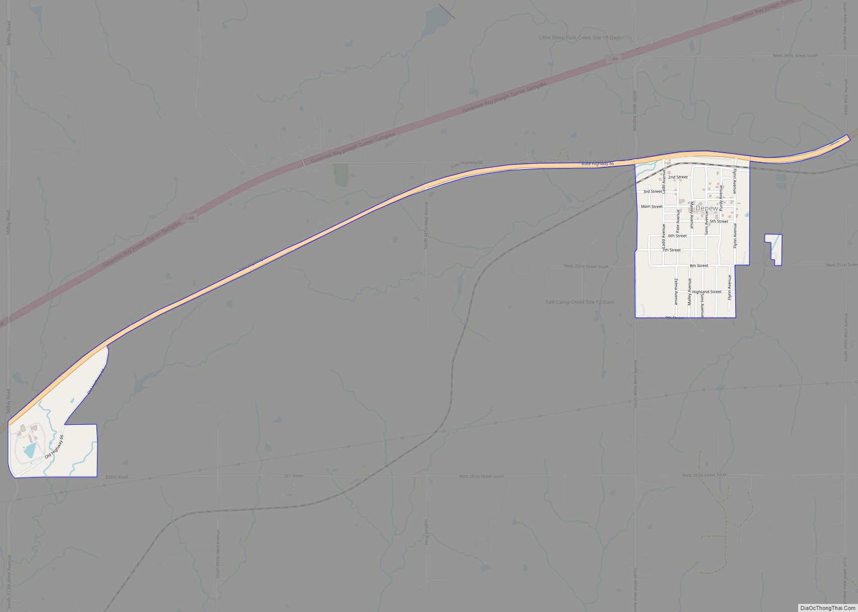
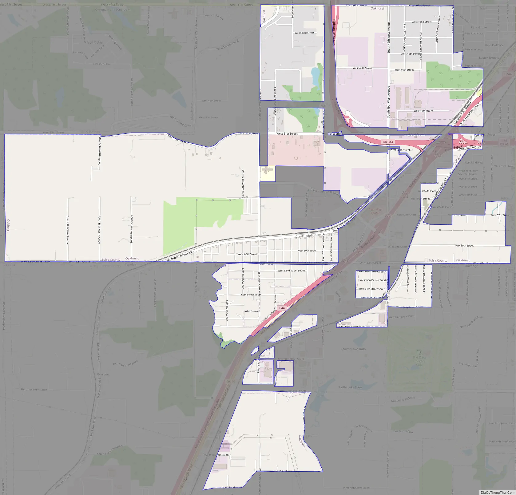
Oakhurst Road Map
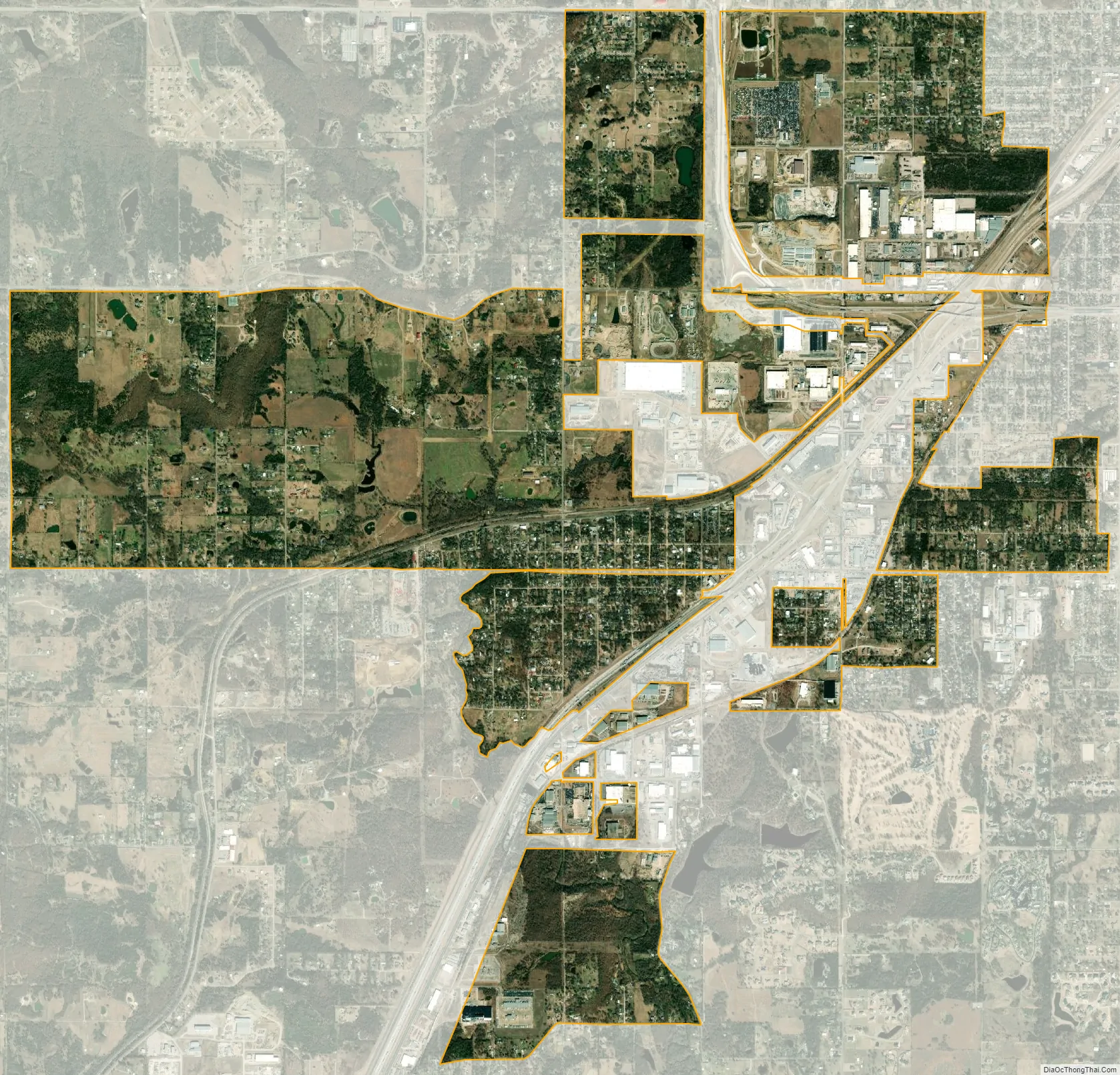
Oakhurst city Satellite Map
Geography
Oakhurst is located in western Tulsa County and northeastern Creek County at 36°4′45″N 96°3′5″W / 36.07917°N 96.05139°W / 36.07917; -96.05139 (36.079291, -96.051444). It is bordered by Tulsa to the east, Sand Springs to the northwest, and Sapulpa to the south. Interstate 44 passes through the community, with access from exits 221 and 222. Downtown Tulsa is 7 miles (11 km) to the northeast via Interstate 244, which branches from I-44 in northeast Oakhurst.
According to the United States Census Bureau, the CDP has a total area of 5.7 square miles (14.7 km), all land. The CDP has lost area over time as the surrounding cities expand; in 2000 the area of Oakhurst was 6.7 square miles (17.4 km).
See also
Map of Oklahoma State and its subdivision:- Adair
- Alfalfa
- Atoka
- Beaver
- Beckham
- Blaine
- Bryan
- Caddo
- Canadian
- Carter
- Cherokee
- Choctaw
- Cimarron
- Cleveland
- Coal
- Comanche
- Cotton
- Craig
- Creek
- Custer
- Delaware
- Dewey
- Ellis
- Garfield
- Garvin
- Grady
- Grant
- Greer
- Harmon
- Harper
- Haskell
- Hughes
- Jackson
- Jefferson
- Johnston
- Kay
- Kingfisher
- Kiowa
- Latimer
- Le Flore
- Lincoln
- Logan
- Love
- Major
- Marshall
- Mayes
- McClain
- McCurtain
- McIntosh
- Murray
- Muskogee
- Noble
- Nowata
- Okfuskee
- Oklahoma
- Okmulgee
- Osage
- Ottawa
- Pawnee
- Payne
- Pittsburg
- Pontotoc
- Pottawatomie
- Pushmataha
- Roger Mills
- Rogers
- Seminole
- Sequoyah
- Stephens
- Texas
- Tillman
- Tulsa
- Wagoner
- Washington
- Washita
- Woods
- Woodward
- Alabama
- Alaska
- Arizona
- Arkansas
- California
- Colorado
- Connecticut
- Delaware
- District of Columbia
- Florida
- Georgia
- Hawaii
- Idaho
- Illinois
- Indiana
- Iowa
- Kansas
- Kentucky
- Louisiana
- Maine
- Maryland
- Massachusetts
- Michigan
- Minnesota
- Mississippi
- Missouri
- Montana
- Nebraska
- Nevada
- New Hampshire
- New Jersey
- New Mexico
- New York
- North Carolina
- North Dakota
- Ohio
- Oklahoma
- Oregon
- Pennsylvania
- Rhode Island
- South Carolina
- South Dakota
- Tennessee
- Texas
- Utah
- Vermont
- Virginia
- Washington
- West Virginia
- Wisconsin
- Wyoming