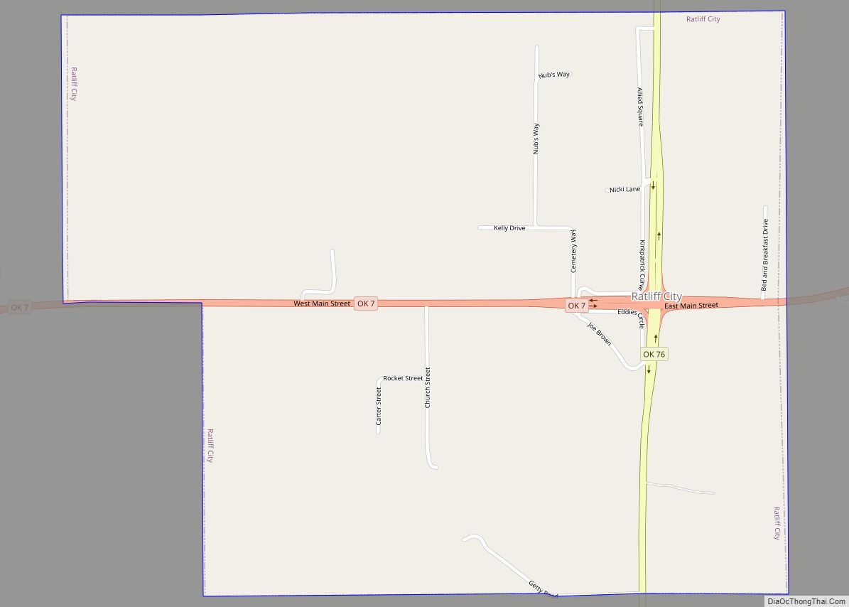
Ratliff City is a town in Carter County, Oklahoma, United States. The population was 120 at the 2010 census. Ratliff City was named for Ollie Ratliff, owner of a local garage. It is part of the Ardmore, Oklahoma Micropolitan Statistical Area.
| Name: | Ratliff City town |
|---|---|
| LSAD Code: | 43 |
| LSAD Description: | town (suffix) |
| State: | Oklahoma |
| County: | Carter County |
| Elevation: | 1,043 ft (318 m) |
| Total Area: | 1.13 sq mi (2.92 km²) |
| Land Area: | 1.12 sq mi (2.91 km²) |
| Water Area: | 0.01 sq mi (0.01 km²) |
| Total Population: | 64 |
| Population Density: | 57.04/sq mi (22.02/km²) |
| ZIP code: | 73481 |
| Area code: | 580 |
| FIPS code: | 4061900 |
| GNISfeature ID: | 1097051 |
Online Interactive Map
Click on ![]() to view map in "full screen" mode.
to view map in "full screen" mode.
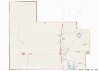
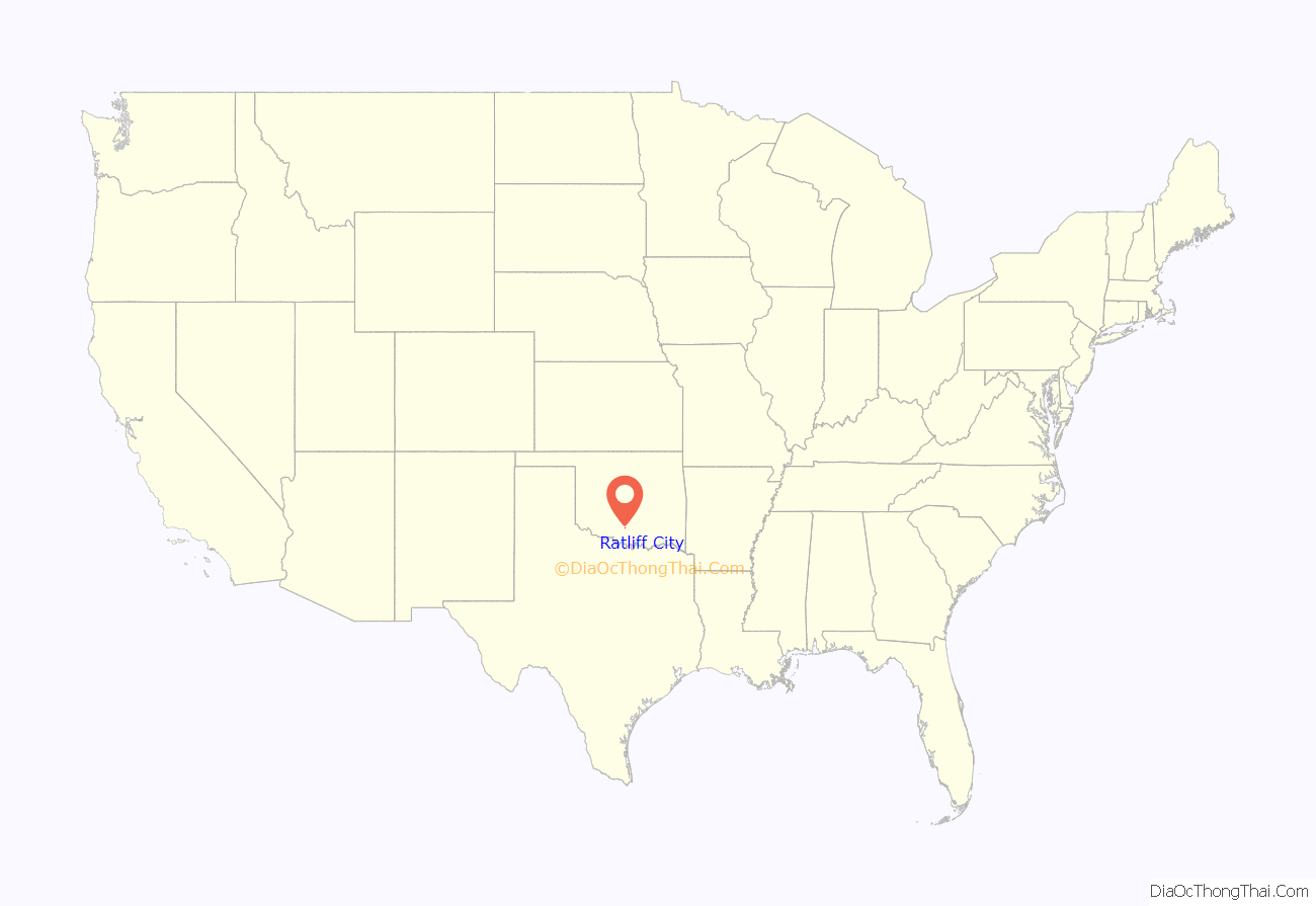
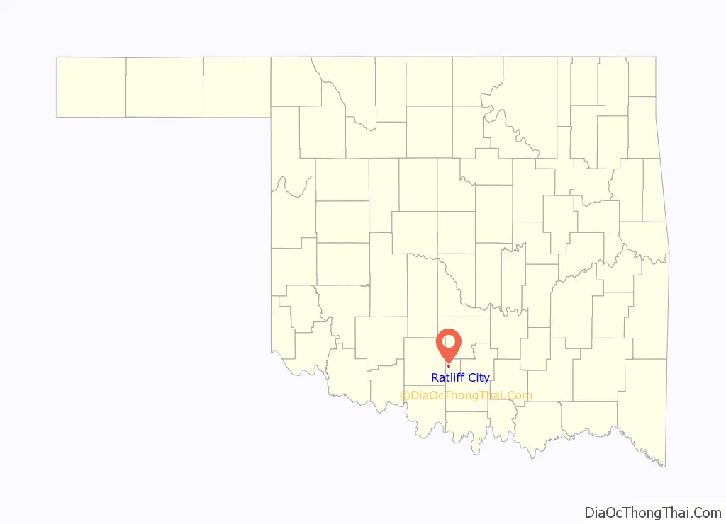
Ratliff City location map. Where is Ratliff City town?
History
The post office was opened on January 1, 1953, when the town was incorporated.
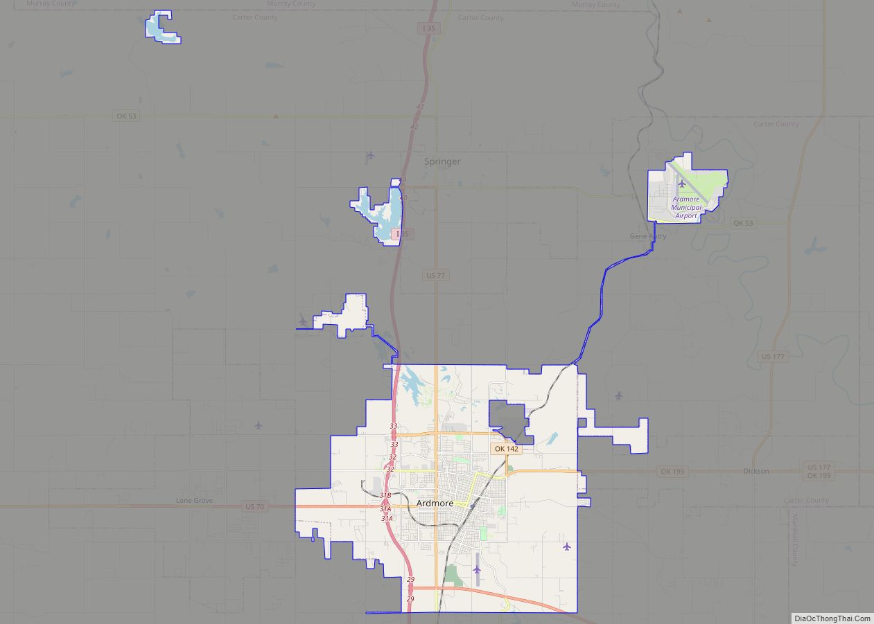
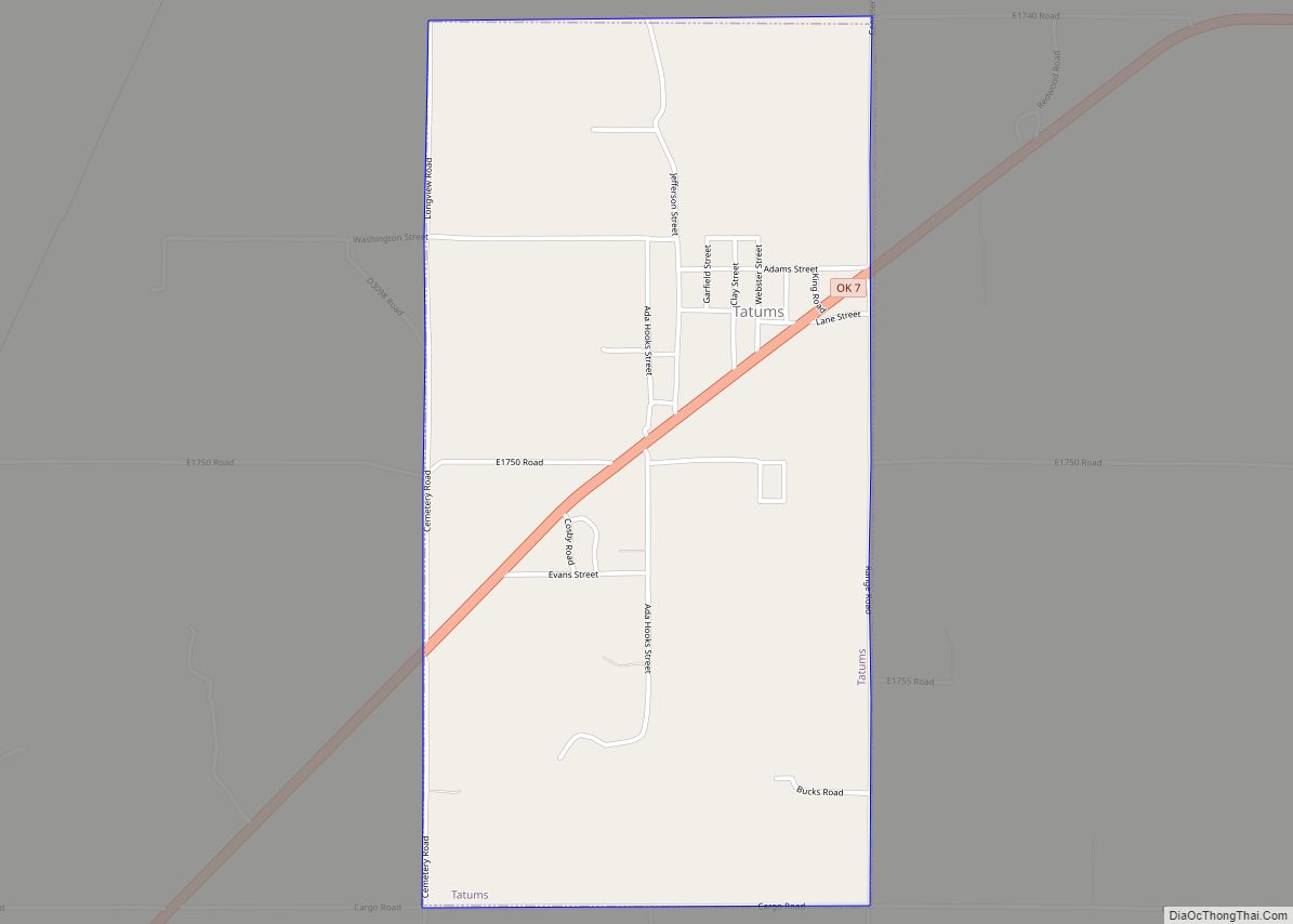
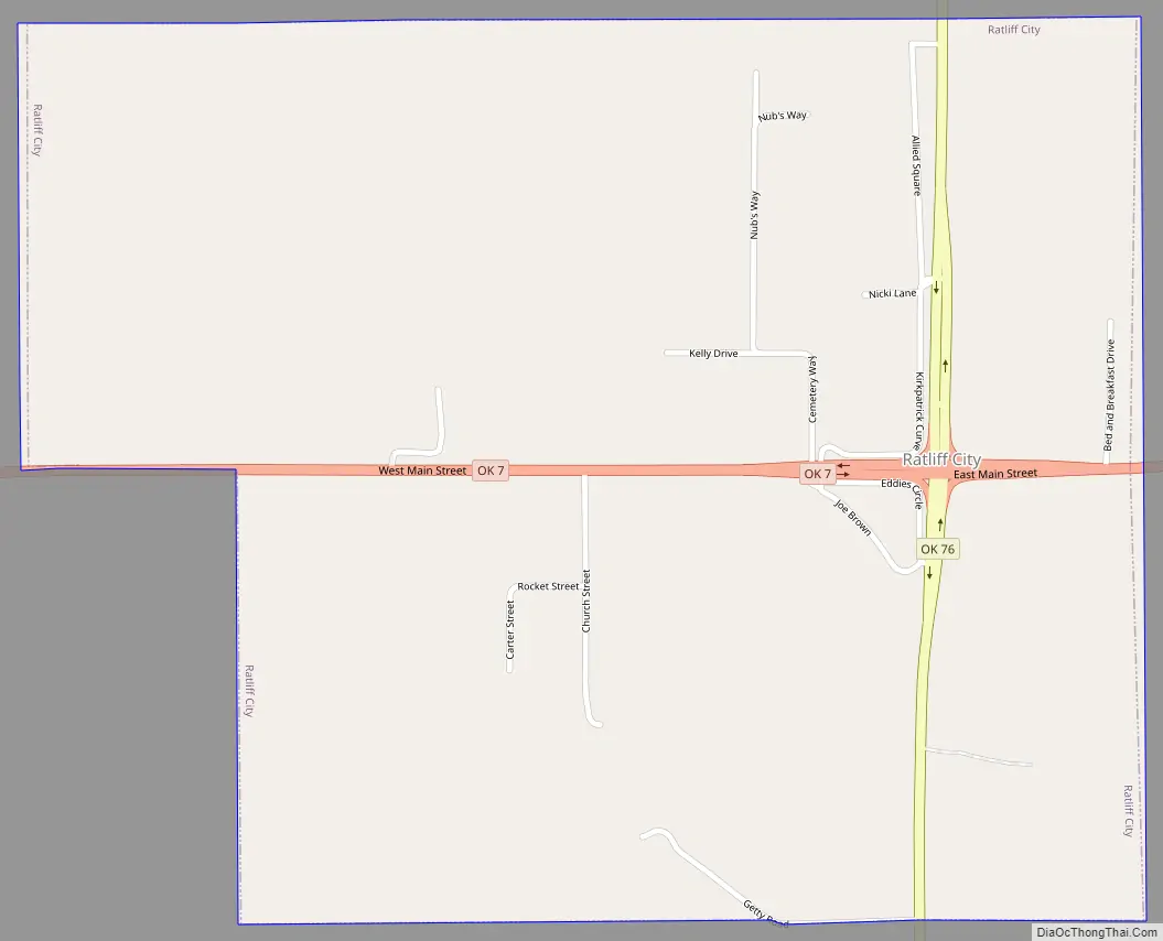
Ratliff City Road Map
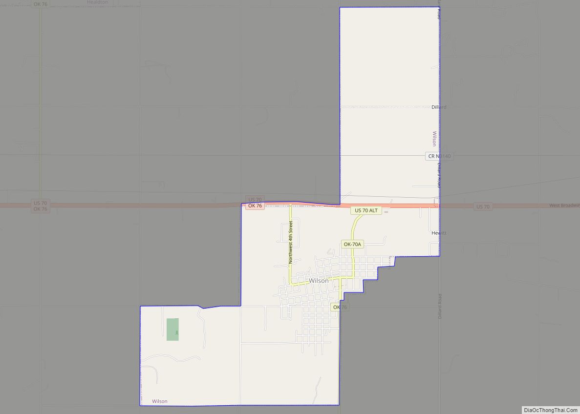
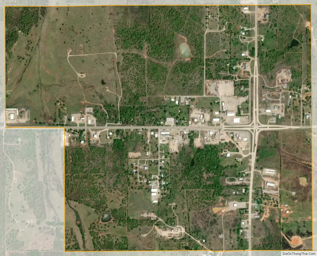
Ratliff City city Satellite Map
Geography
Ratliff City is located in northwestern Carter County at 34°26′56″N 97°30′40″W / 34.44889°N 97.51111°W / 34.44889; -97.51111 (34.448918, -97.510999).
Ratliff City is located at the junction of State Highways 7 and 76. Highway 7 leads east 24 miles (39 km) to Davis and west 27 miles (43 km) to Duncan, while Highway 76 leads north 12 miles (19 km) to Foster and south 15 miles (24 km) to Healdton.
According to the United States Census Bureau, Ratliff City has a total area of 1.1 square miles (2.9 km), all land.
See also
Map of Oklahoma State and its subdivision:- Adair
- Alfalfa
- Atoka
- Beaver
- Beckham
- Blaine
- Bryan
- Caddo
- Canadian
- Carter
- Cherokee
- Choctaw
- Cimarron
- Cleveland
- Coal
- Comanche
- Cotton
- Craig
- Creek
- Custer
- Delaware
- Dewey
- Ellis
- Garfield
- Garvin
- Grady
- Grant
- Greer
- Harmon
- Harper
- Haskell
- Hughes
- Jackson
- Jefferson
- Johnston
- Kay
- Kingfisher
- Kiowa
- Latimer
- Le Flore
- Lincoln
- Logan
- Love
- Major
- Marshall
- Mayes
- McClain
- McCurtain
- McIntosh
- Murray
- Muskogee
- Noble
- Nowata
- Okfuskee
- Oklahoma
- Okmulgee
- Osage
- Ottawa
- Pawnee
- Payne
- Pittsburg
- Pontotoc
- Pottawatomie
- Pushmataha
- Roger Mills
- Rogers
- Seminole
- Sequoyah
- Stephens
- Texas
- Tillman
- Tulsa
- Wagoner
- Washington
- Washita
- Woods
- Woodward
- Alabama
- Alaska
- Arizona
- Arkansas
- California
- Colorado
- Connecticut
- Delaware
- District of Columbia
- Florida
- Georgia
- Hawaii
- Idaho
- Illinois
- Indiana
- Iowa
- Kansas
- Kentucky
- Louisiana
- Maine
- Maryland
- Massachusetts
- Michigan
- Minnesota
- Mississippi
- Missouri
- Montana
- Nebraska
- Nevada
- New Hampshire
- New Jersey
- New Mexico
- New York
- North Carolina
- North Dakota
- Ohio
- Oklahoma
- Oregon
- Pennsylvania
- Rhode Island
- South Carolina
- South Dakota
- Tennessee
- Texas
- Utah
- Vermont
- Virginia
- Washington
- West Virginia
- Wisconsin
- Wyoming