Slick is a town in Creek County, Oklahoma, United States. The population was 151 at the 2020 census, a 15.3% increase over the population in 2010.
| Name: | Slick town |
|---|---|
| LSAD Code: | 43 |
| LSAD Description: | town (suffix) |
| State: | Oklahoma |
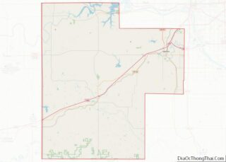
| County: | Creek County |
| Elevation: | 719 ft (219 m) |
| Total Area: | 7.85 sq mi (20.34 km²) |
| Land Area: | 7.76 sq mi (20.09 km²) |
| Water Area: | 0.10 sq mi (0.25 km²) |
| Total Population: | 151 |
| Population Density: | 19.47/sq mi (7.52/km²) |
| ZIP code: | 74071 |
| Area code: | 539/918 |
| FIPS code: | 4068000 |
| GNISfeature ID: | 1098119 |
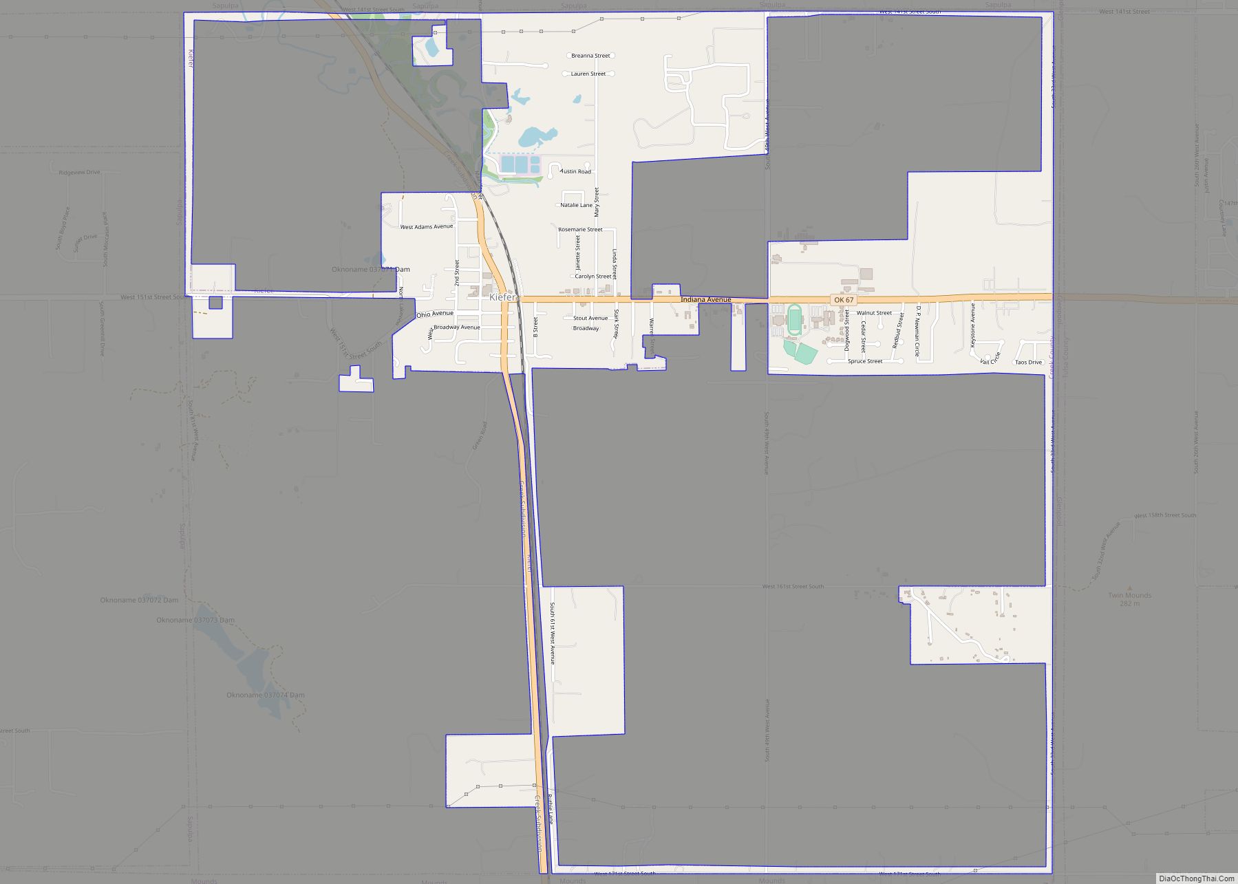
Online Interactive Map
Click on ![]() to view map in "full screen" mode.
to view map in "full screen" mode.
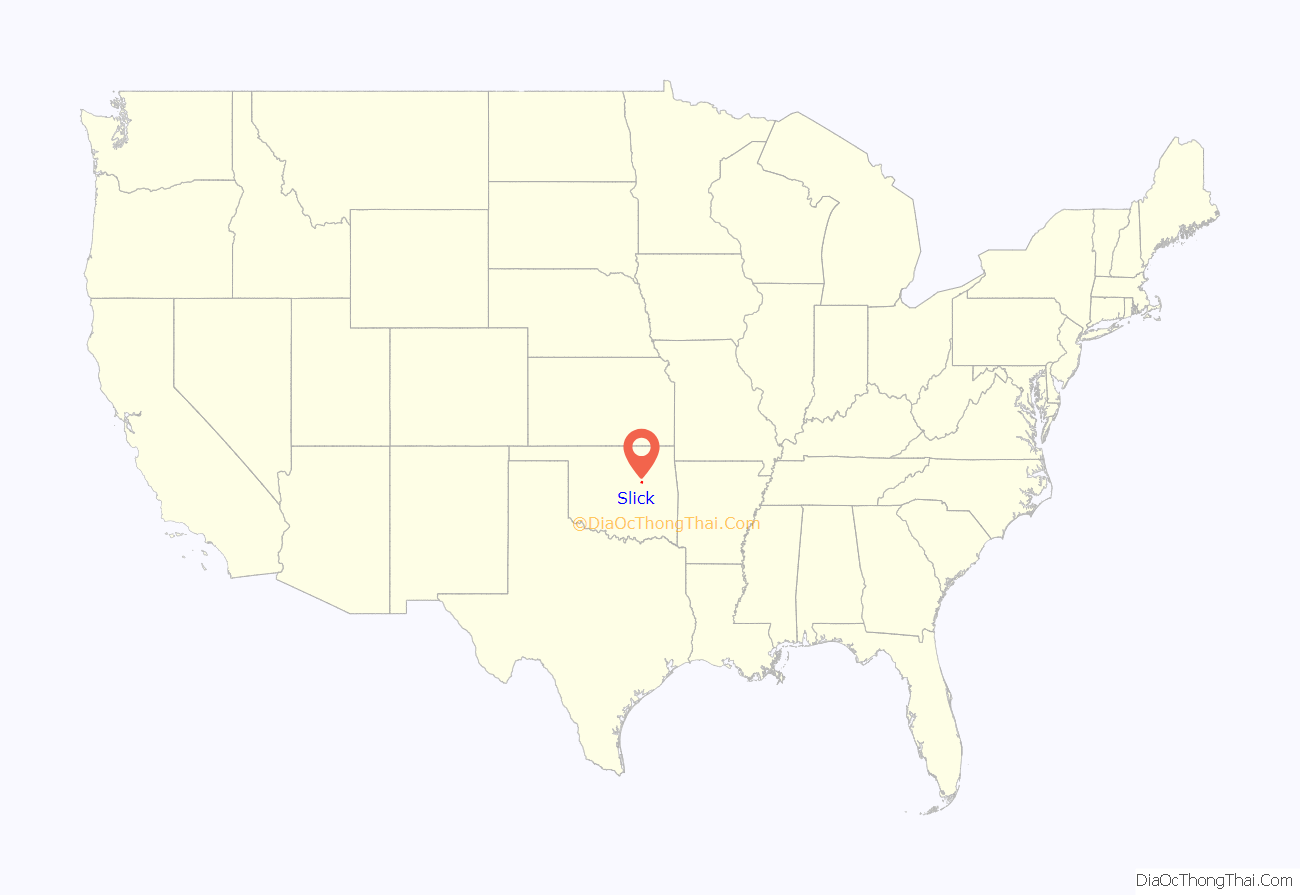
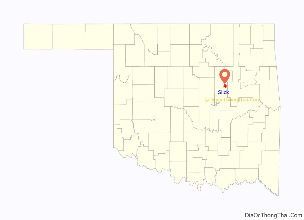
Slick location map. Where is Slick town?
History
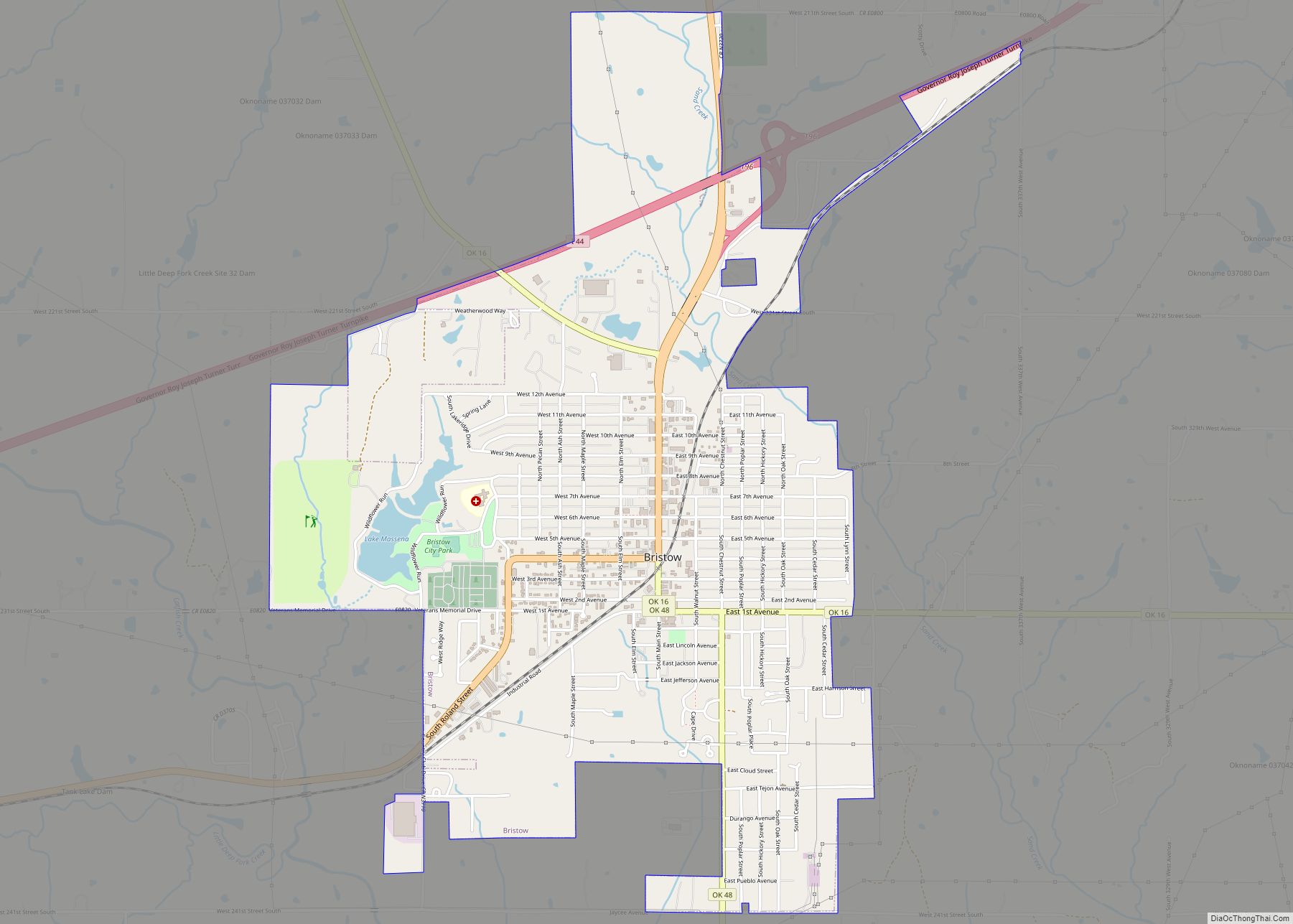
Slick began as an oil boom town in 1920, and was named for oilman Thomas B. Slick, who drilled a discovery well nearby. A railroad, the Oklahoma-Southwestern Railway, was completed into town the same year. By 1922, the town had an estimated population of 2500-3500. However, production of oil began to decline in the latter part of 1923, and the railroad was abandoned by 1930. So when the town appeared for the first time in the U.S. census in 1930, the population was only 422, a figure which declined until 1950 and has since fluctuated. All of its employed citizens commute to work in Bristow, Sapulpa, and Tulsa.
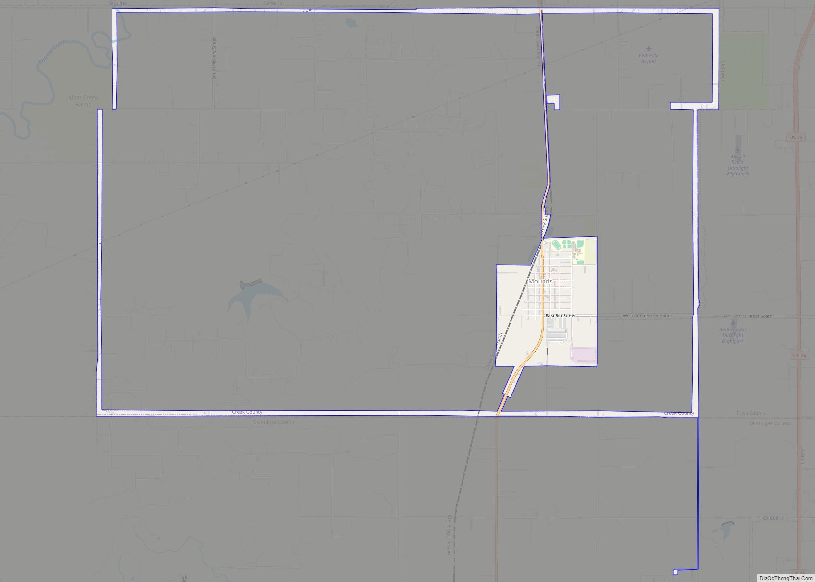
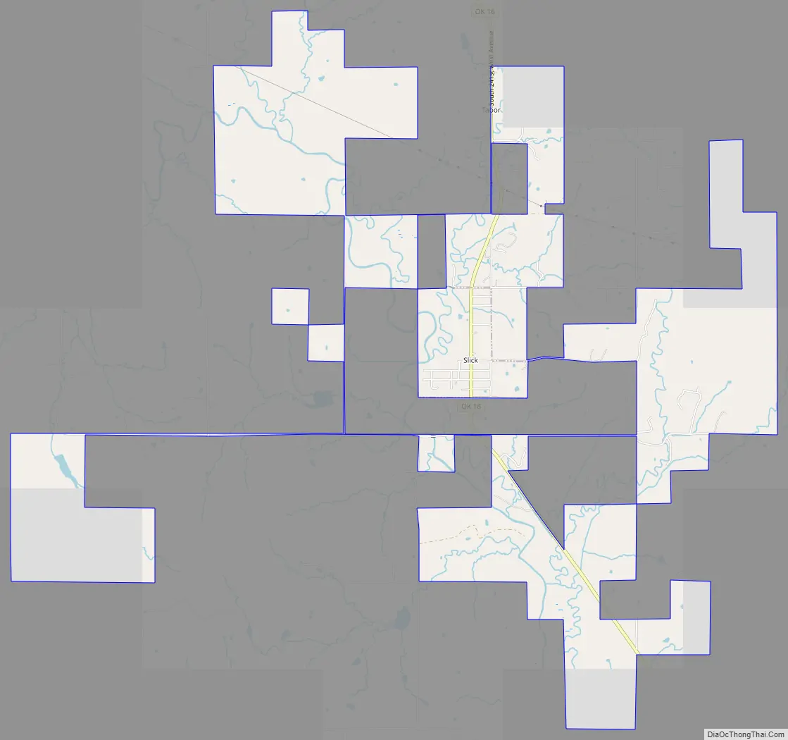
Slick Road Map
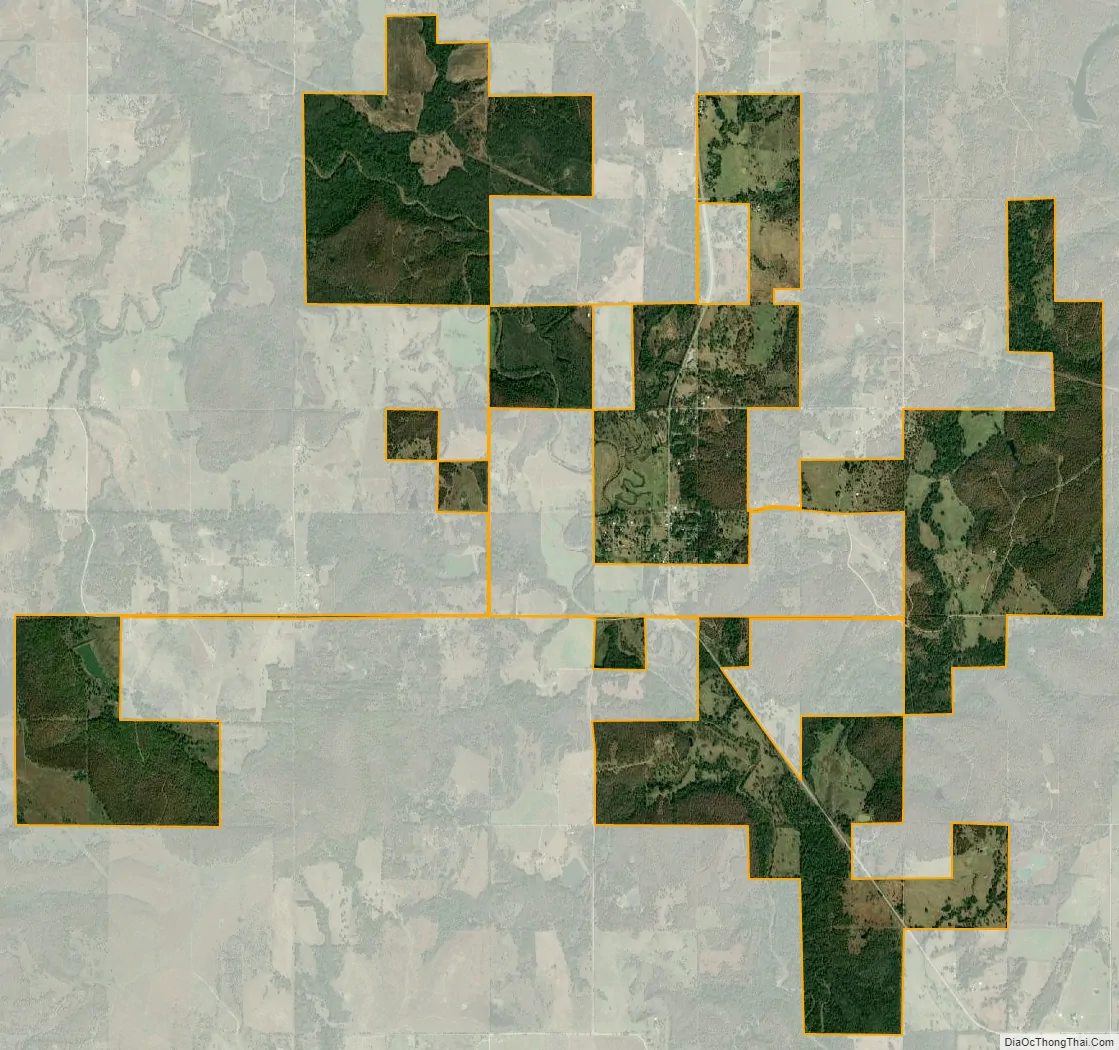
Slick city Satellite Map
Geography
Slick is located at 35°46′35″N 96°16′01″W / 35.776525°N 96.266845°W / 35.776525; -96.266845.
Slick is on the Deep Fork River, and situated southeast of Bristow on SH-16.
Slick has a public park, located on the west side of SH-16, where Easter Egg Hunts and other events are held.
According to the United States Census Bureau, the town has a total area of 0.4 square miles (1.0 km), all land.
See also
Map of Oklahoma State and its subdivision:- Adair
- Alfalfa
- Atoka
- Beaver
- Beckham
- Blaine
- Bryan
- Caddo
- Canadian
- Carter
- Cherokee
- Choctaw
- Cimarron
- Cleveland
- Coal
- Comanche
- Cotton
- Craig
- Creek
- Custer
- Delaware
- Dewey
- Ellis
- Garfield
- Garvin
- Grady
- Grant
- Greer
- Harmon
- Harper
- Haskell
- Hughes
- Jackson
- Jefferson
- Johnston
- Kay
- Kingfisher
- Kiowa
- Latimer
- Le Flore
- Lincoln
- Logan
- Love
- Major
- Marshall
- Mayes
- McClain
- McCurtain
- McIntosh
- Murray
- Muskogee
- Noble
- Nowata
- Okfuskee
- Oklahoma
- Okmulgee
- Osage
- Ottawa
- Pawnee
- Payne
- Pittsburg
- Pontotoc
- Pottawatomie
- Pushmataha
- Roger Mills
- Rogers
- Seminole
- Sequoyah
- Stephens
- Texas
- Tillman
- Tulsa
- Wagoner
- Washington
- Washita
- Woods
- Woodward
- Alabama
- Alaska
- Arizona
- Arkansas
- California
- Colorado
- Connecticut
- Delaware
- District of Columbia
- Florida
- Georgia
- Hawaii
- Idaho
- Illinois
- Indiana
- Iowa
- Kansas
- Kentucky
- Louisiana
- Maine
- Maryland
- Massachusetts
- Michigan
- Minnesota
- Mississippi
- Missouri
- Montana
- Nebraska
- Nevada
- New Hampshire
- New Jersey
- New Mexico
- New York
- North Carolina
- North Dakota
- Ohio
- Oklahoma
- Oregon
- Pennsylvania
- Rhode Island
- South Carolina
- South Dakota
- Tennessee
- Texas
- Utah
- Vermont
- Virginia
- Washington
- West Virginia
- Wisconsin
- Wyoming