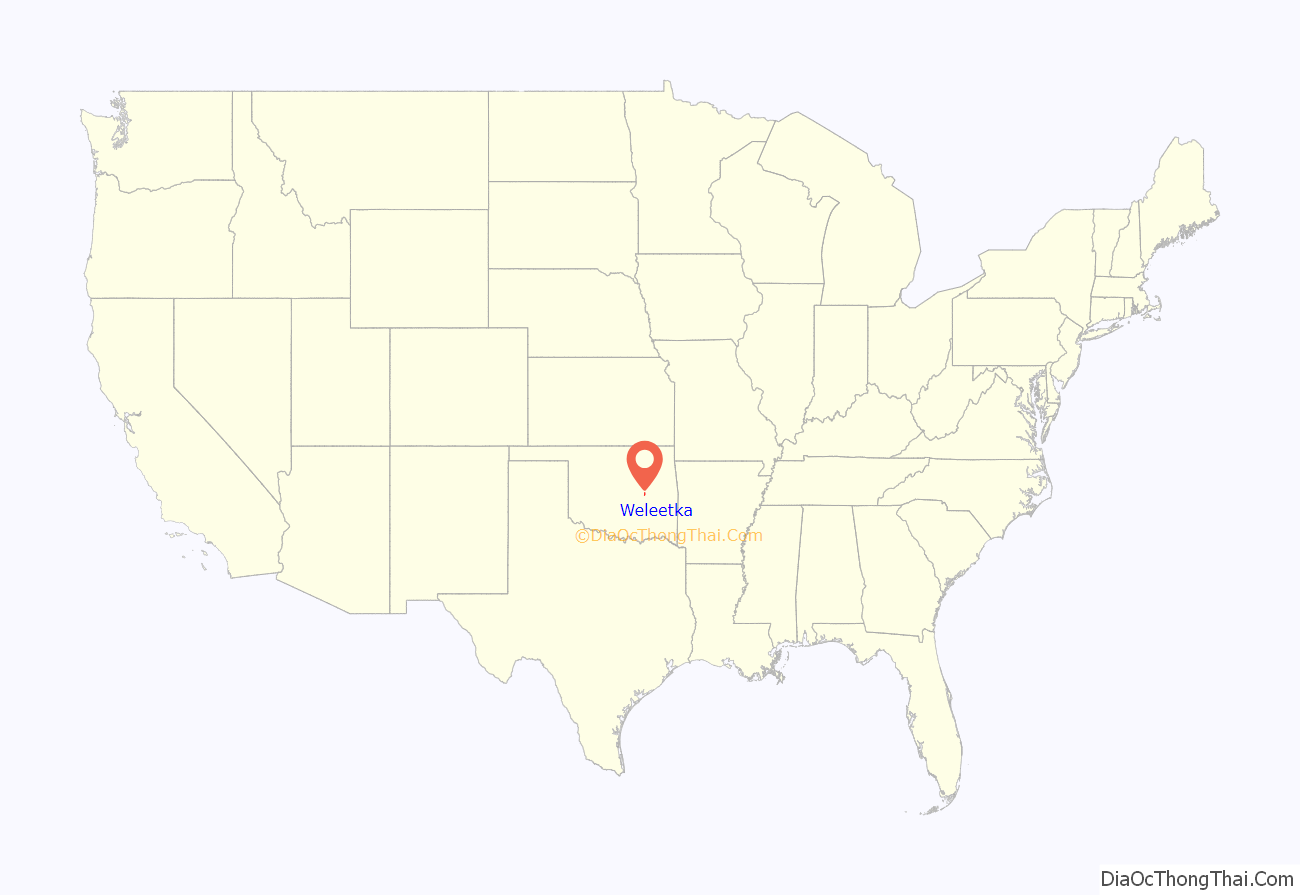
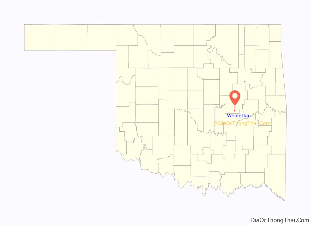
Weleetka is a town in Okfuskee County, Oklahoma, United States. It is approximately 10 miles (16 km) southeast of Okemah, the county seat. The name is a Creek word meaning “running water.” The population was 998 at the 2010 census, a decline of 1.6 percent from the figure of 1,014 in 2000.
| Name: | Weleetka town |
|---|---|
| LSAD Code: | 43 |
| LSAD Description: | town (suffix) |
| State: | Oklahoma |
| County: | Okfuskee County |
| Elevation: | 725 ft (221 m) |
| Total Area: | 0.66 sq mi (1.71 km²) |
| Land Area: | 0.66 sq mi (1.71 km²) |
| Water Area: | 0.00 sq mi (0.00 km²) |
| Total Population: | 806 |
| Population Density: | 1,221.21/sq mi (471.78/km²) |
| ZIP code: | 74880 |
| Area code: | 405/572 |
| FIPS code: | 4079800 |
| GNISfeature ID: | 1099475 |
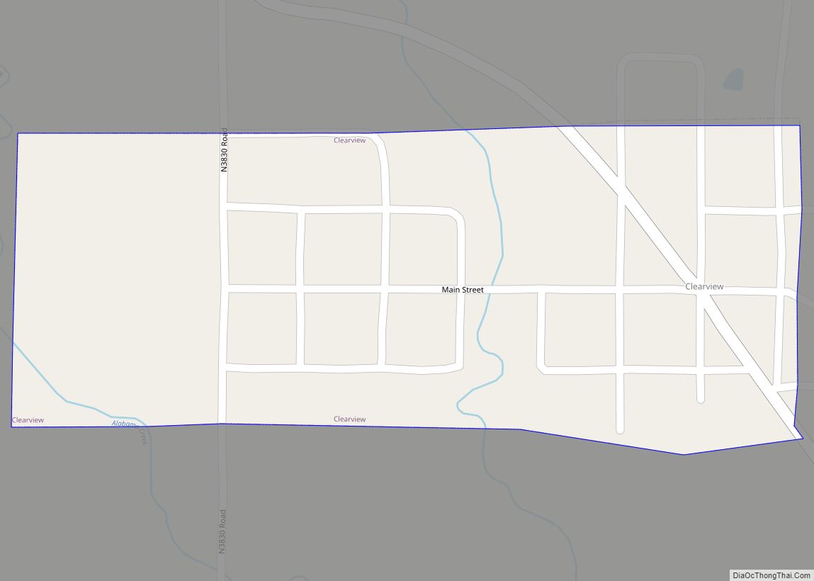
Online Interactive Map
Click on ![]() to view map in "full screen" mode.
to view map in "full screen" mode.
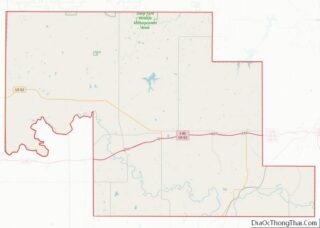
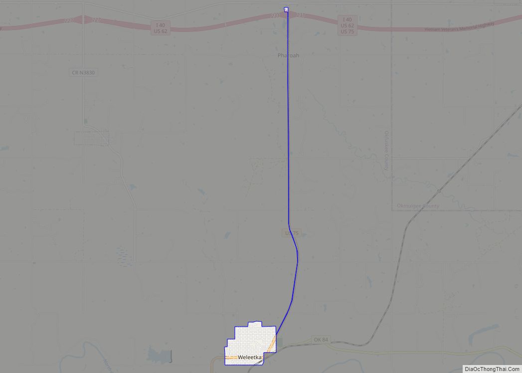
Weleetka location map. Where is Weleetka town?
History
According to the Encyclopedia of Oklahoma History and Culture, the present town of Weleetka was founded by three men from other communities who were having difficulty surviving in the newspaper business. These men, George F. Clarke of Vinita, Lake Moore of Fairland and John Jacobs of Holdenville, decided in 1899 to form a partnership and find a new town where they might find prosperity together. They had already learned that the St. Louis and San Francisco Railway (SL&SF or “Frisco”) was building a line southward from Sapulpa, Indian Territory, to Denison, Texas. Clarke and Moore knew that the Fort Smith and Western Railway was laying a line westward from Indian Territory to Guthrie, in Oklahoma Territory. The partners decided to establish a town at the junction of the two railroads. The partners selected a suitable town site on a hill just north of the Canadian River that was owned by Martha Lowe, a Creek Indian who had received an allotment. Someone suggested that the partners name the new site, “Weleetka”, a Creek word that meant “running water” in English.
The partners began selling townsite lots for 40 dollars each on February 10, 1902. Within a day, they had netted enough to pay Mrs. Lowe for her land as well as cover their other expenses. On the following day, the First Bank of Weleetka opened for business. By the time it closed that evening, it held $3,000 in deposits. Business continued to be brisk, and a Weleetka post office was established on March 14, 1902.
The surrounding area was mostly devoted to agriculture, where farmers produced cotton, wheat, oats, alfalfa, fruits, vegetables, peanuts, and pecans. Later, it became known for production of oil and gas. The town had a population of 1,020 at statehood in 1907. By 1930, it could boast of having 2,042 people. It also had two hotels, three cotton gins, a cotton compress, three drug stores, an opera house, and a mercantile company.
Weleetka was once a major railroad town, serving as the division point for the Fort Smith and Western Railway. All train crews changed out in Weleetka; the town also housed major shops and repair facilities for the steam locomotives. Headquartered in Fort Smith, Arkansas, the Fort Smith and Western was a railroad that operated in the states of Arkansas and Oklahoma. The railroad’s main line extended 217 miles, from Ft. Smith through Weleetka to Guthrie. The Fort Smith and Western owned a subsidiary, St. Louis, El Reno and Western, which began operating 42 miles between Guthrie and El Reno, Oklahoma in June 1904. The railroad also acquired 32.5 miles of trackage rights over the Missouri-Kansas-Texas Railroad from Fallis, Oklahoma to Oklahoma City.
The railroad supported much of the business and hotels of the city in the first half of the 1900s. Trains entering town from the East were switched and broken down in Weleetka, and dispatched northwest for either Oklahoma City, Guthrie or El Reno. Due to the railroad yard in Weleetka, the single westbound train could thus become two westbound trains. The reverse was true for eastbound trains. Weleetka was vital to the life of the railroad. The railroad provided regular passenger service and at one time boasted through Pullman sleeping cars to and from St. Louis and Oklahoma City. The route of the FS&W served no major population centers, but did serve major coal mining operations in eastern Oklahoma at Coal Creek, Bokoshe, and McCurtain. Other towns served included Crowder, Okemah, Boley, Prague, Vernon, Indianola and Meridian. A major portion of the road’s freight traffic was metallurgical-grade coal from San Bois Coal Company mines near McCurtain. As coal traffic declined, an oil discovery near Okemah brought additional traffic, which postponed the abandonment of the railroad. The Missouri-Kansas-Texas Railroad withdrew trackage rights between Fallis and Oklahoma City in January 1939 after FS&W defaulted on rental fees, and when the Fort Smith and Western ceased operations on February 9, 1939, Weleetka lost its major employer.
Beginning in 1930, both cotton production and railroad service declined, followed by a steady loss of population throughout the 20th Century. Weleetka remained a trading center for its area, and in 2000, there were still 1,014 residents. Ten churches, a school system, and a weekly newspaper, the Weleetkan, served the community. The Weleetka Town Hall and Jail were included in the National Register of Historic Places listings in Okfuskee County, Oklahoma (NR 93000156). The 2010 population had declined further to 998.
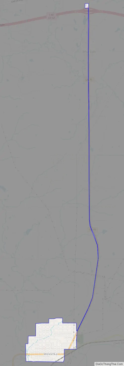
Weleetka Road Map
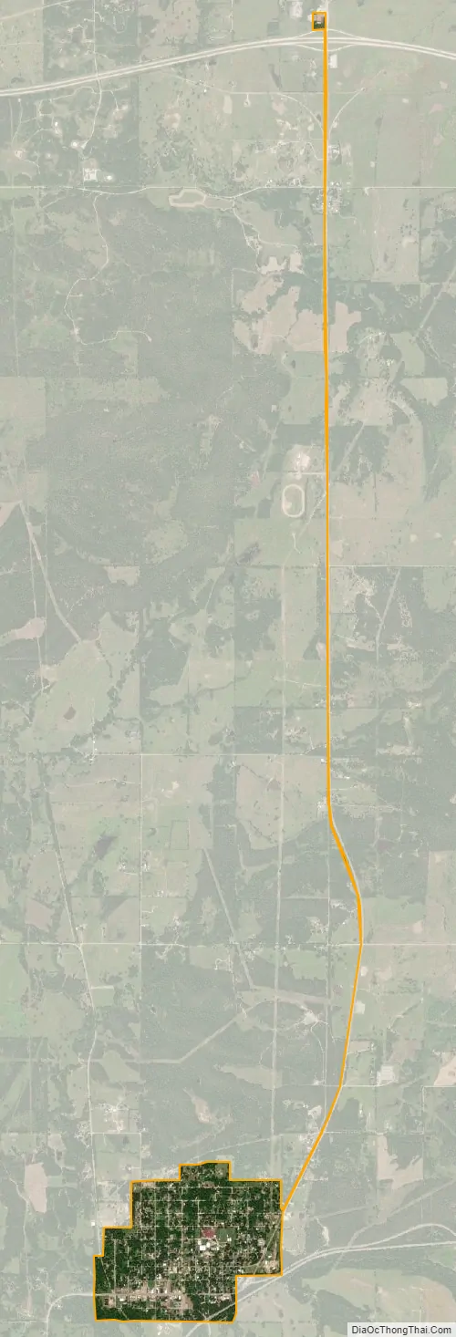
Weleetka city Satellite Map
Geography
It is 10 miles (16 km) southeast of the county seat, Okemah. The townsite is on a horseshoe bend of the North Canadian River.
According to the United States Census Bureau, the town has a total area of 0.7 square miles (1.8 km), all land.
See also
Map of Oklahoma State and its subdivision:- Adair
- Alfalfa
- Atoka
- Beaver
- Beckham
- Blaine
- Bryan
- Caddo
- Canadian
- Carter
- Cherokee
- Choctaw
- Cimarron
- Cleveland
- Coal
- Comanche
- Cotton
- Craig
- Creek
- Custer
- Delaware
- Dewey
- Ellis
- Garfield
- Garvin
- Grady
- Grant
- Greer
- Harmon
- Harper
- Haskell
- Hughes
- Jackson
- Jefferson
- Johnston
- Kay
- Kingfisher
- Kiowa
- Latimer
- Le Flore
- Lincoln
- Logan
- Love
- Major
- Marshall
- Mayes
- McClain
- McCurtain
- McIntosh
- Murray
- Muskogee
- Noble
- Nowata
- Okfuskee
- Oklahoma
- Okmulgee
- Osage
- Ottawa
- Pawnee
- Payne
- Pittsburg
- Pontotoc
- Pottawatomie
- Pushmataha
- Roger Mills
- Rogers
- Seminole
- Sequoyah
- Stephens
- Texas
- Tillman
- Tulsa
- Wagoner
- Washington
- Washita
- Woods
- Woodward
- Alabama
- Alaska
- Arizona
- Arkansas
- California
- Colorado
- Connecticut
- Delaware
- District of Columbia
- Florida
- Georgia
- Hawaii
- Idaho
- Illinois
- Indiana
- Iowa
- Kansas
- Kentucky
- Louisiana
- Maine
- Maryland
- Massachusetts
- Michigan
- Minnesota
- Mississippi
- Missouri
- Montana
- Nebraska
- Nevada
- New Hampshire
- New Jersey
- New Mexico
- New York
- North Carolina
- North Dakota
- Ohio
- Oklahoma
- Oregon
- Pennsylvania
- Rhode Island
- South Carolina
- South Dakota
- Tennessee
- Texas
- Utah
- Vermont
- Virginia
- Washington
- West Virginia
- Wisconsin
- Wyoming