Greenville (/ˈɡriːnvɪl/; locally /ˈɡriːnvəl/) is a city in and the seat of Greenville County, South Carolina, United States. With a population of 70,720 at the 2020 census, it is the sixth-largest city in the state. Greenville is located approximately halfway between Atlanta, Georgia, and Charlotte, North Carolina, along Interstate 85. Its metropolitan area also includes Interstates 185 and 385. Greenville is the anchor city of the Upstate, a combined statistical area with a population of 1,487,610 at the 2020 census. Greenville was the fourth fastest-growing city in the United States between 2015 and 2016, according to the U.S. Census Bureau.
Greenville is the center of the Upstate region of South Carolina, creating one of the largest urban centers in the Deep South. Numerous large companies are located within the city, such as Michelin, Prisma Health, Bon Secours, and Duke Energy. Greenville County Schools is another large employer and is the largest school district in South Carolina. Having seen rapid development over the past two decades, Greenville has also received many accolades and awards. Some of these include “The South’s Most ‘Tasteful’ Small Towns” from Forbes in 2020, “15 of the Most Underrated Travel Destinations of the Year, So Far” from Insider in 2019, “Best Places to Live” from Money in 2019, and “Best Place to Live in the USA #22” from U.S. News & World Report in 2019. The city continues to expand rapidly into the 2020s as is evident from rapid population, economic, and developmental growth.
| Name: | Greenville city |
|---|---|
| LSAD Code: | 25 |
| LSAD Description: | city (suffix) |
| State: | South Carolina |
| County: | Greenville County |
| Elevation: | 984 ft (300 m) |
| Land Area: | 29.80 sq mi (77.17 km²) |
| Water Area: | 0.23 sq mi (0.58 km²) 0.5% |
| Population Density: | 2,373.39/sq mi (916.37/km²) |
| Area code: | 864 |
| FIPS code: | 4530850 |
| GNISfeature ID: | 1245842 |
| Website: | www.greenvillesc.gov |
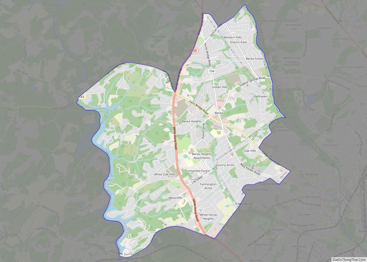
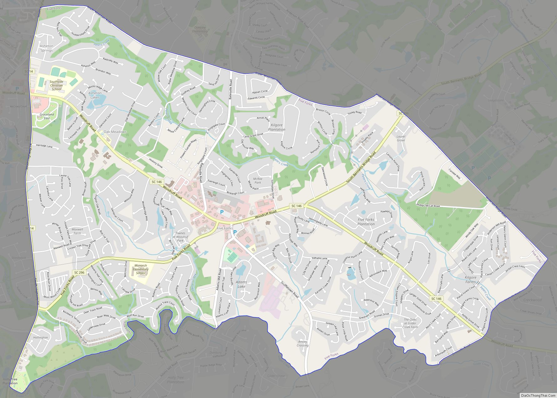
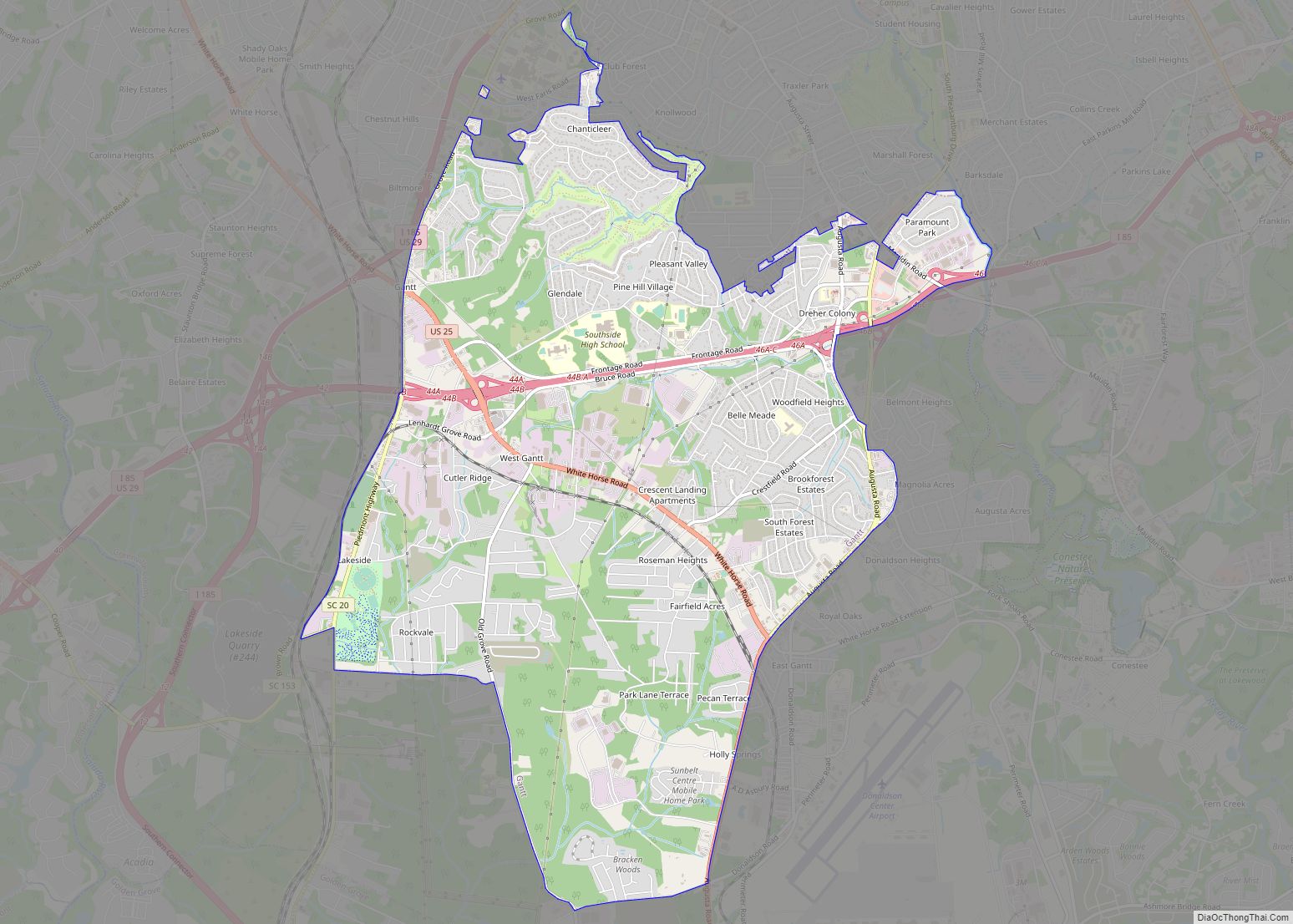
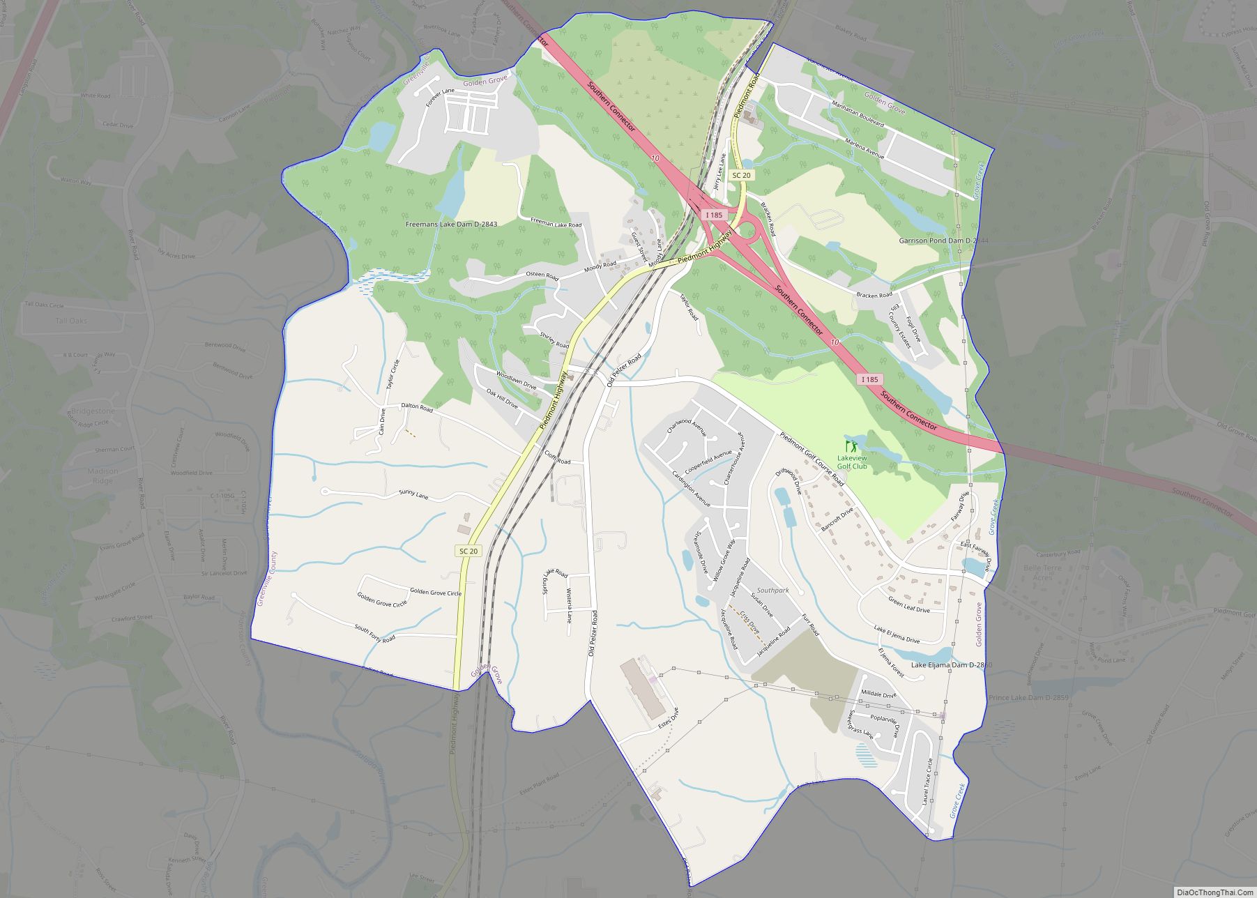
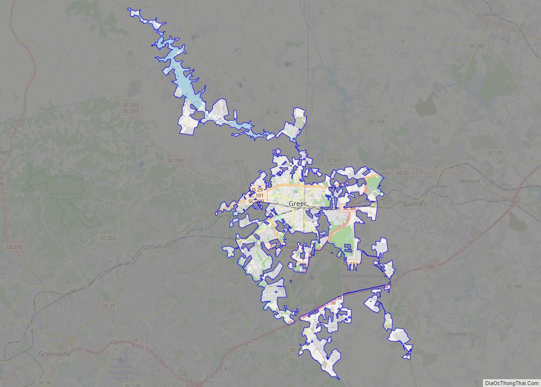
Online Interactive Map
Click on ![]() to view map in "full screen" mode.
to view map in "full screen" mode.
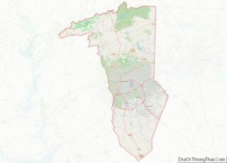
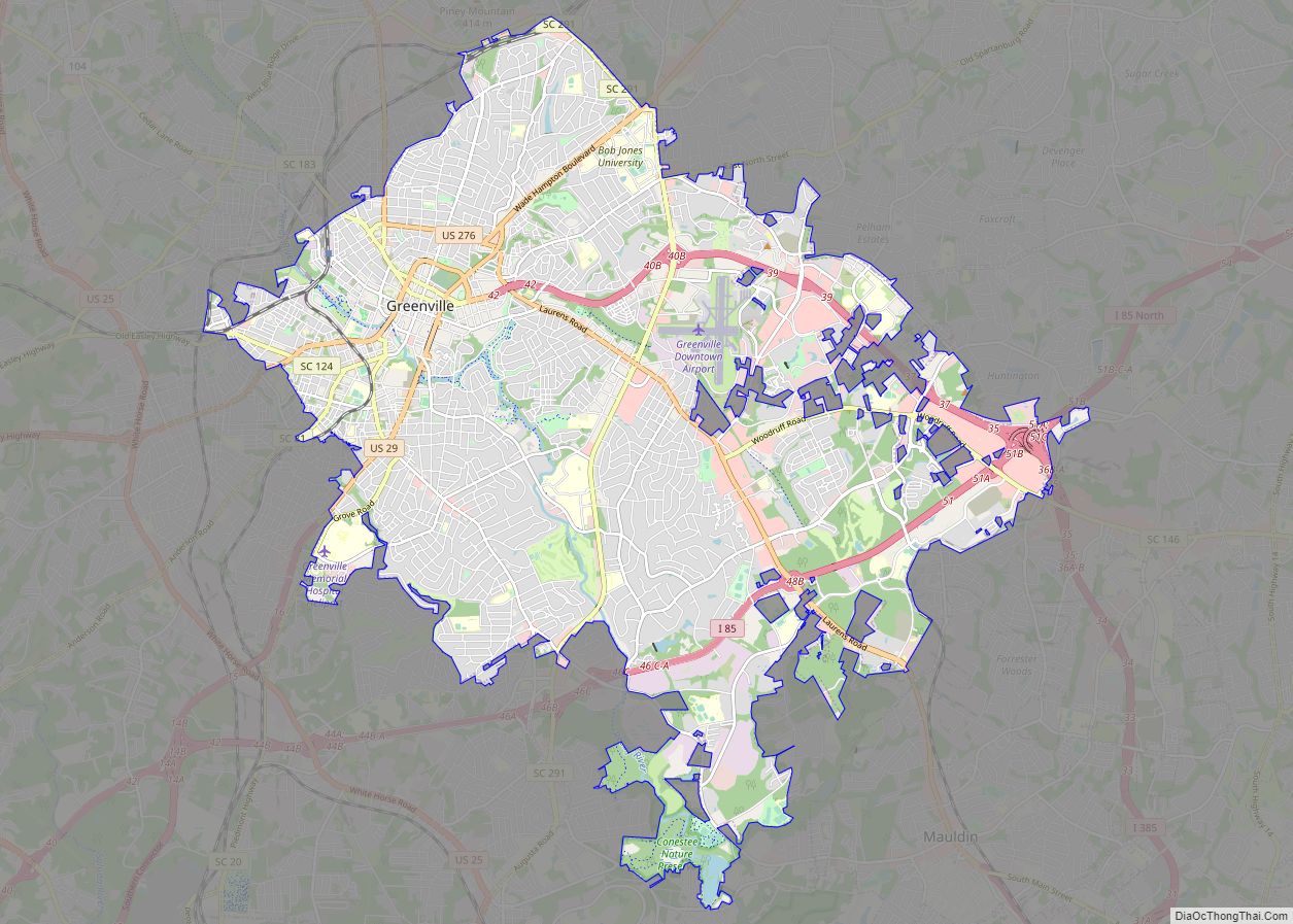
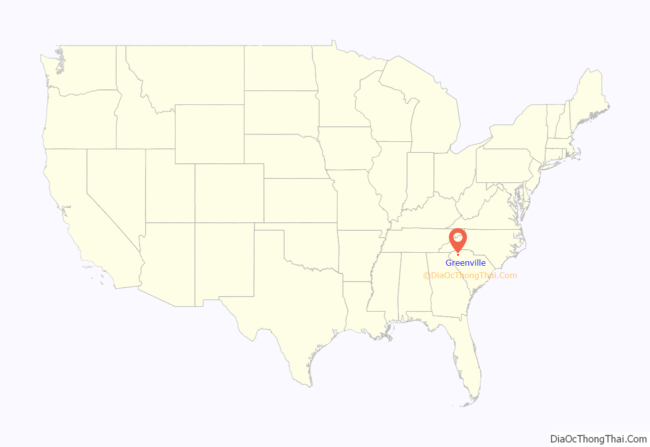
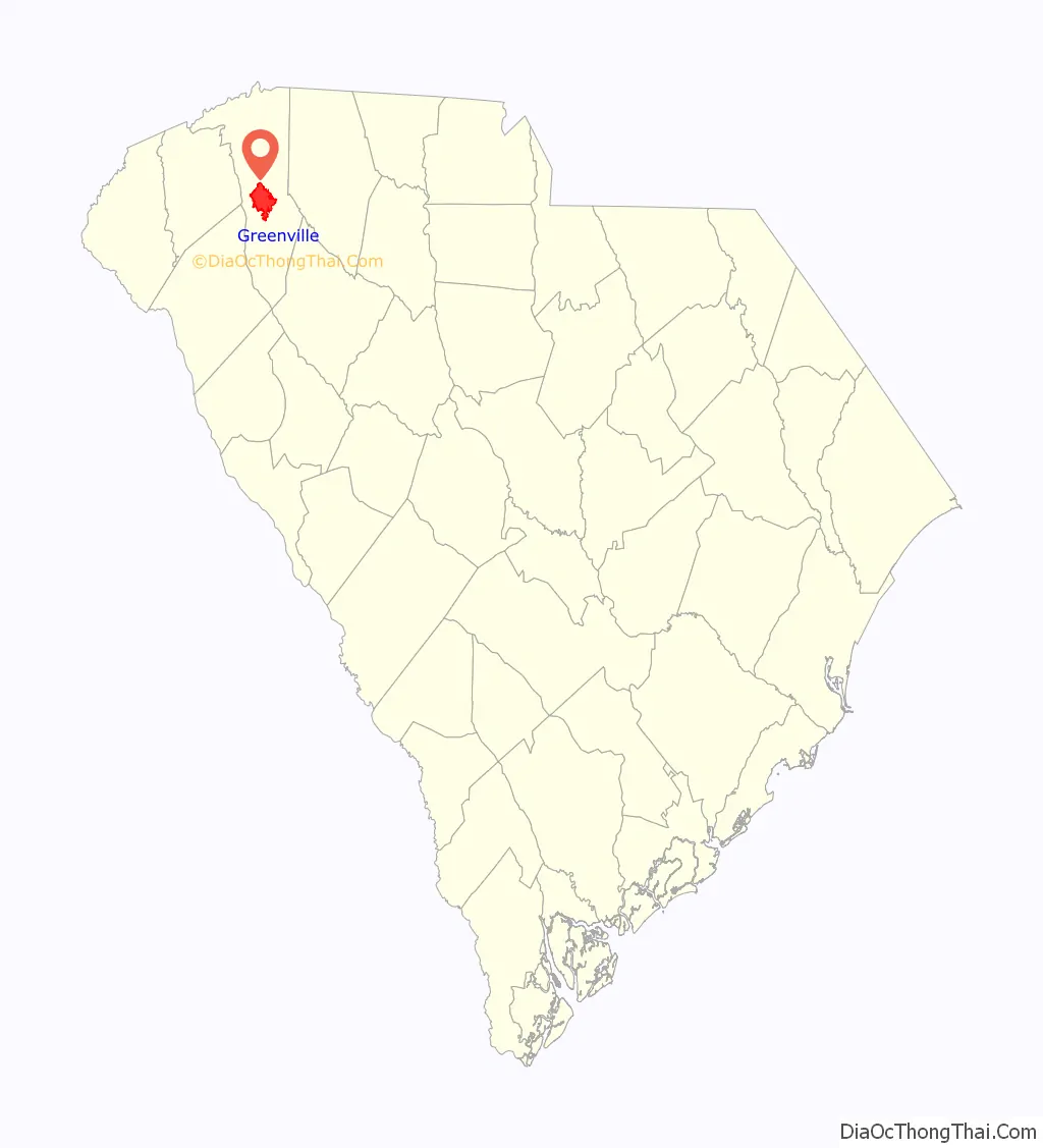
Greenville location map. Where is Greenville city?
History
From Cherokee Land to Greenville County
The land of present-day Greenville was once the hunting ground of the Cherokee, which was forbidden to colonists. A wealthy settler from Virginia named Richard Pearis arrived in South Carolina around 1754 and established relations with the Cherokee. Pearis had a child with a Cherokee woman and received about 100,000 acres (40,000 ha) from the Cherokee around 1770. Pearis established a plantation on the Reedy River called the Great Plains in present-day downtown Greenville. The American Revolution divided the South Carolina country between the Loyalists and Patriots. Pearis supported the Loyalists and together with their allies, the Cherokee, attacked the Patriots. The Patriots retaliated by burning down Pearis’ plantation and jailing him in Charleston. Pearis never returned to his plantation but Paris Mountain is named after him. The Treaty of Dewitt’s Corner in 1777 ceded almost all Cherokee land, including present-day Greenville, to South Carolina.
Greenville County was created in 1786. Some sources state it was named for its physical appearance, while others say the county is named after General Nathanael Greene in honor of his service in the American Revolutionary War, or after early settler Isaac Green. Lemuel J. Alston came to Greenville County in 1788 and bought 400 acres (160 ha) and a portion of Pearis’ former plantation. In 1797 Alston used his land holdings to establish a village called Pleasantburg where he also built a stately mansion. In 1816, Alston’s land was purchased by Vardry McBee, who then leased the Alston mansion for a summer resort, before making the mansion his home from 1835 until his death in 1864. Pleasantburg was renamed as Greenville in 1821 and became a village in 1831. Considered to be the father of Greenville, McBee donated land for many structures such as churches, academies, and a cotton mill. Furman University was funded by McBee who helped bring the university to Greenville from Winnsboro, South Carolina in 1851. In 1853 McBee and other Greenville County leaders funded a new railroad called the Greenville and Columbia Railroad. Greenville boomed to around 1,000 in the 1850s due to the growth of McBee’s donations and the attraction of the town as a summer resort for visitors.
Latter 19th century
In December 1860 Greenville supported a convention to debate the issue of secession for South Carolina. The Greenville District sent James Furman, William K. Easley, Perry E. Duncan, William H. Campbell, and James P. Harrison as delegates for the convention. On December 20, 1860, the South Carolina state convention, along with the Greenville delegation, voted to secede from the Union. Greenville County provided over 2,000 soldiers to the Confederate States Army. The town supplied food, clothing, and firearms to the Confederacy. Greenville saw no action from the war until 1865 when Union troops came through the town looking for President Jefferson Davis of the Confederacy who had fled south from Richmond, Virginia. In June 1865 Andrew Johnson appointed Greenville County native Benjamin Franklin Perry as Governor of South Carolina.
In February 1869, Greenville’s town charter was amended by the S. C. General Assembly establishing Greenville, the town, as a city. Construction boomed in the 1870s such as the establishment of a bridge over the Reedy River, new mills on the river and new railroads. The Greenville News was established in 1874 as Greenville’s first daily newspaper. Southern Bell installed the first telephone lines in the city. The most important infrastructure that came to the city were cotton mills. Prominent cotton mill businesses operated near Greenville making it a cotton mill town. By 1915 Greenville became known as the “Textile Center of the South.” From 1915 to 2004, the city hosted an important textile manufacturing trade fair, the Southern Textile Exposition.
20th century
During World War I, Greenville served as a training camp center for Army recruits. After World War I commercial activity expanded with new movie theaters and department stores. The Mansion House was demolished and replaced with the Poinsett Hotel in 1925. The Great Depression hurt the economy of Greenville forcing mills to lay off workers. Furman University and the Greenville Women’s College also struggled in the crippling economy forcing them to merge in 1933. The Textile Workers Strike of 1934 caused such an uproar in the city and surrounding mill towns that the National Guard had to subdue the chaos. The New Deal established Sirrine Stadium and a new Greenville High School. The Greenville Army Air Base was established in 1942 during World War II contributing to the further growth of Greenville.
Following the war, a November 19, 1946, propane explosion left 6 dead and over 150 injured. The explosion involved a tank containing about 3,500 US gallons (13 m) of propane and could be heard from Gaffney, 50 miles (80 km) away.
On February 16, 1947, Willie Earle, a black man accused of stabbing a cab driver, was taken from his jail cell by a mob of mostly taxi drivers and murdered. Thirty-one white men were jointly tried for the crime; most of the accused signed confessions, many of them naming Roosevelt Carlos Hurd as the lynch mob leader and the person who ultimately killed Earle with the shotgun. On May 21, 1947, a jury of 12 white men returned verdicts of not guilty for every defendant.
After World War II, Greenville’s economy surged with the establishment of new downtown stores and the expansion of the city limits. Furman University doubled its student population and moved to a new location. Higher education facilities such as Bob Jones University in 1947 and Greenville Technical College in 1962 were established in Greenville. The Greenville–Spartanburg International Airport was established in nearby Greer in 1962. The economy of Greenville finally waned in the 1970s leaving a void in downtown Greenville due to the flight of many retailers. Mayor Max Heller then revitalized downtown Greenville with the Greenville County Museum of Art and the Hughes Main Library. Main Street was then converted into a two-lane road lined with trees and sidewalks. With a 1978 federal grant, a convention center and hotel were built, bringing business back to the area.
Greenville Road Map
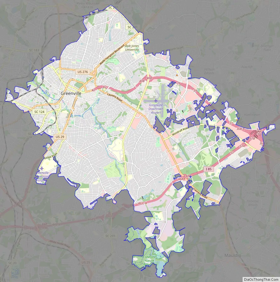
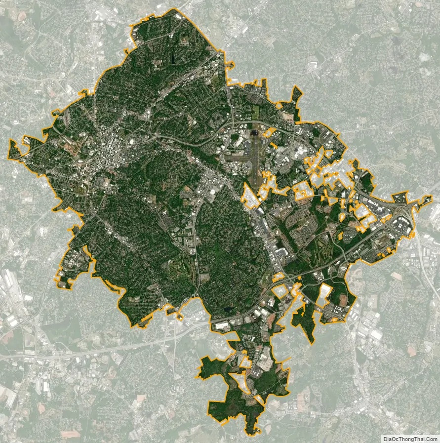
Greenville city Satellite Map
Geography
Greenville is located at 34°50′40″N 82°23′8″W / 34.84444°N 82.38556°W / 34.84444; -82.38556 (34.844313, −82.385428), roughly equidistant between Atlanta (145 miles [233 km] southwest), and Charlotte, North Carolina (100 miles [160 km] northeast). Columbia, the state capital, is 100 miles (160 km) to the southeast.
Greenville is in the foothills of the Blue Ridge Mountains, a physiographic province of the larger Appalachian Mountains range, and includes many small hills. Sassafras Mountain, the highest point in South Carolina, is in northern Pickens County, less than 40 miles (64 km) northwest of Greenville. Many area television and radio station towers are on Paris Mountain, the second most prominent peak in the area, 8 miles (13 km) north of downtown Greenville. According to the United States Census Bureau, Greenville has a total area of 28.8 square miles (74.6 km), of which 28.7 square miles (74.3 km) are land and 0.2 square miles (0.4 km), or 0.51%, are water. The Reedy River, a tributary of the Saluda River, runs through the center of the city.
Greenville is located in the Brevard Fault Zone and has had occasional minor earthquakes.
Climate
Greenville, like much of the Piedmont region of the southeastern United States, has a mild version of a humid subtropical climate (Köppen Cfa), with four distinct seasons; the city is part of USDA Hardiness zone 7b/8a. Winters are short and generally cool, with a January daily average of 42.2 °F (5.7 °C). On average, there are 59 nights per year that drop to or below freezing, and only 1.3 days that fail to rise above freezing. April is the driest month, with an average of 3.36 inches (85 mm) of precipitation.
Summers are hot and humid, with a daily temperature average in July of 79.9 °F (26.6 °C). There are an average 43 days per year with highs at or above 90 °F (32 °C). Official record temperatures range from 107 °F (42 °C) on July 1, 2012, down to −6 °F (−21 °C) on January 30, 1966; the record cold daily maximum is 19 °F (−7 °C) on December 31, 1917, while, conversely, the record warm daily minimum is 80 °F (27 °C) on July 12, 1937, the last of three occasions. The average window for freezing temperatures is November 4 thru April 1, allowing a growing season of 217 days.
Precipitation is generally less frequent in autumn than spring and, on average, Greenville receives 47.2 inches (1,200 mm) of precipitation annually, which is somewhat evenly distributed throughout the year, although summer is slightly wetter; annual precipitation has historically ranged from 31.08 in (789 mm) in 2007 to 72.53 in (1,842 mm) in 1908. In addition, there is an average of 4.7 inches (11.9 cm) of snow, occurring mainly from January thru March, with rare snow occurring in November or April. More frequent ice storms and sleet mixed in with rain occur in the Greenville area; seasonal snowfall has historically ranged from trace amounts as recently as 2011–12 to 21.4 in (54 cm) in 1935–36. These storms can have a major impact on the area, as they often pull tree limbs down on power lines and make driving hazardous.
See also
Map of South Carolina State and its subdivision:- Abbeville
- Aiken
- Allendale
- Anderson
- Bamberg
- Barnwell
- Beaufort
- Berkeley
- Calhoun
- Charleston
- Cherokee
- Chester
- Chesterfield
- Clarendon
- Colleton
- Darlington
- Dillon
- Dorchester
- Edgefield
- Fairfield
- Florence
- Georgetown
- Greenville
- Greenwood
- Hampton
- Horry
- Jasper
- Kershaw
- Lancaster
- Laurens
- Lee
- Lexington
- Marion
- Marlboro
- McCormick
- Newberry
- Oconee
- Orangeburg
- Pickens
- Richland
- Saluda
- Spartanburg
- Sumter
- Union
- Williamsburg
- York
- Alabama
- Alaska
- Arizona
- Arkansas
- California
- Colorado
- Connecticut
- Delaware
- District of Columbia
- Florida
- Georgia
- Hawaii
- Idaho
- Illinois
- Indiana
- Iowa
- Kansas
- Kentucky
- Louisiana
- Maine
- Maryland
- Massachusetts
- Michigan
- Minnesota
- Mississippi
- Missouri
- Montana
- Nebraska
- Nevada
- New Hampshire
- New Jersey
- New Mexico
- New York
- North Carolina
- North Dakota
- Ohio
- Oklahoma
- Oregon
- Pennsylvania
- Rhode Island
- South Carolina
- South Dakota
- Tennessee
- Texas
- Utah
- Vermont
- Virginia
- Washington
- West Virginia
- Wisconsin
- Wyoming