Echo is a census-designated place located in northwestern Summit County, Utah, United States. The population was 56 at the 2010 census.
Echo was founded in 1854. The community took its name from nearby Echo Canyon.
| Name: | Echo CDP |
|---|---|
| LSAD Code: | 57 |
| LSAD Description: | CDP (suffix) |
| State: | Utah |
| County: | Summit County |
| Elevation: | 5,777 ft (1,761 m) |
| Total Area: | 56 |
| ZIP code: | 84024 |
| Area code: | 435 |
| FIPS code: | 4921880 |
| GNISfeature ID: | 2584763 |
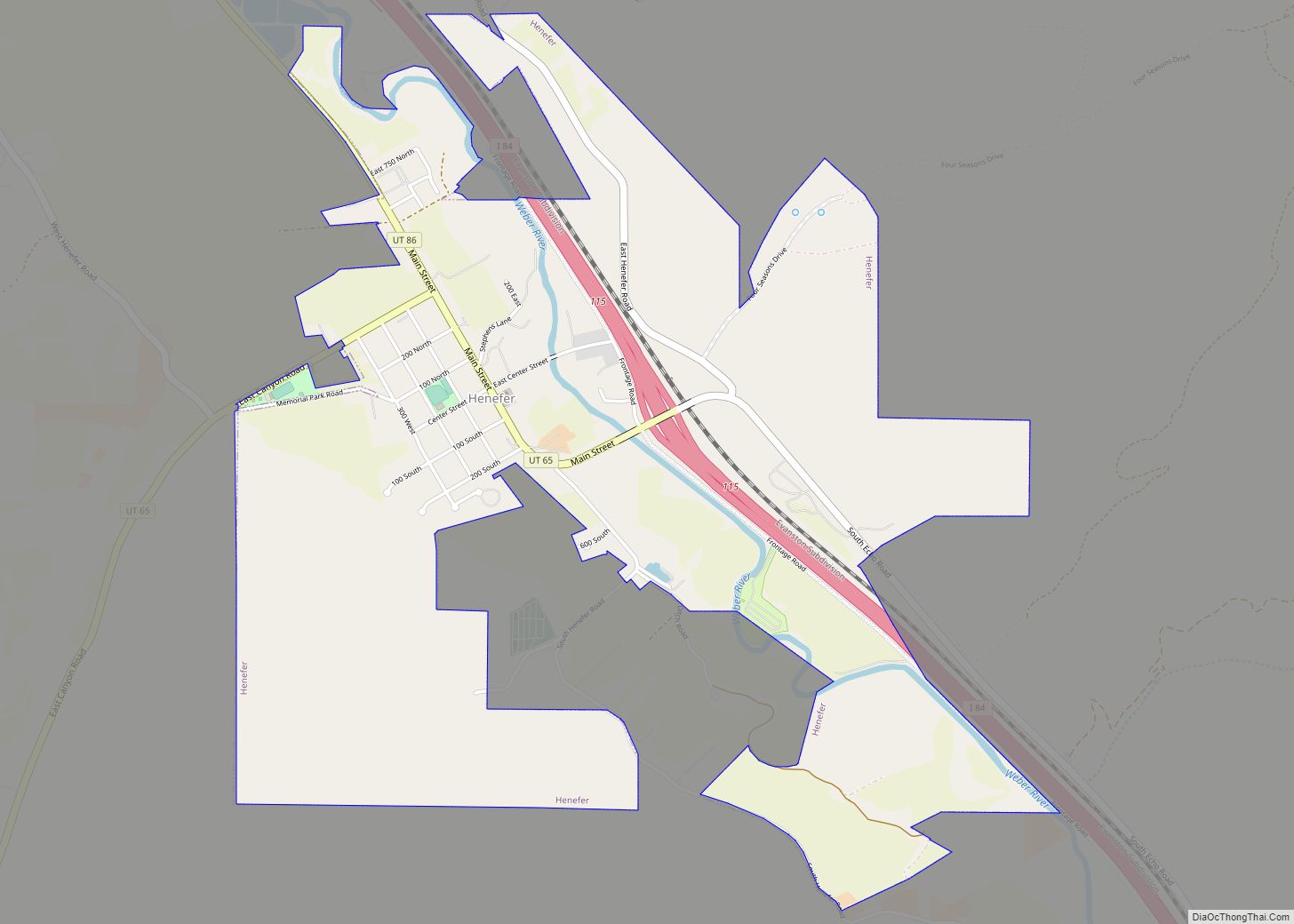
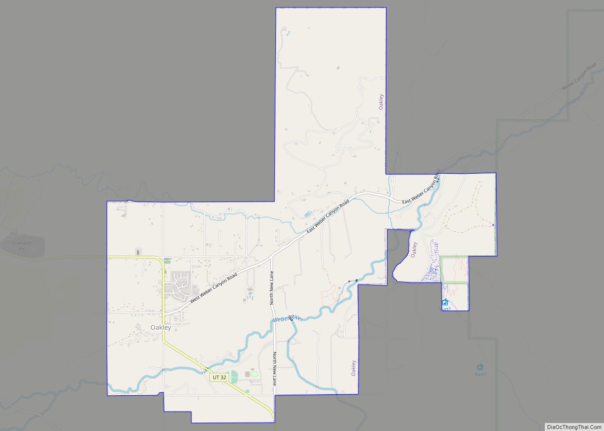
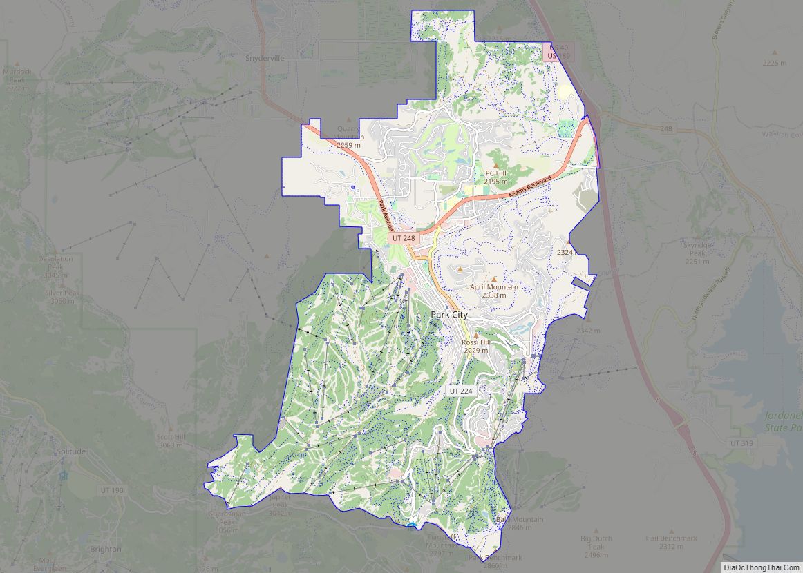
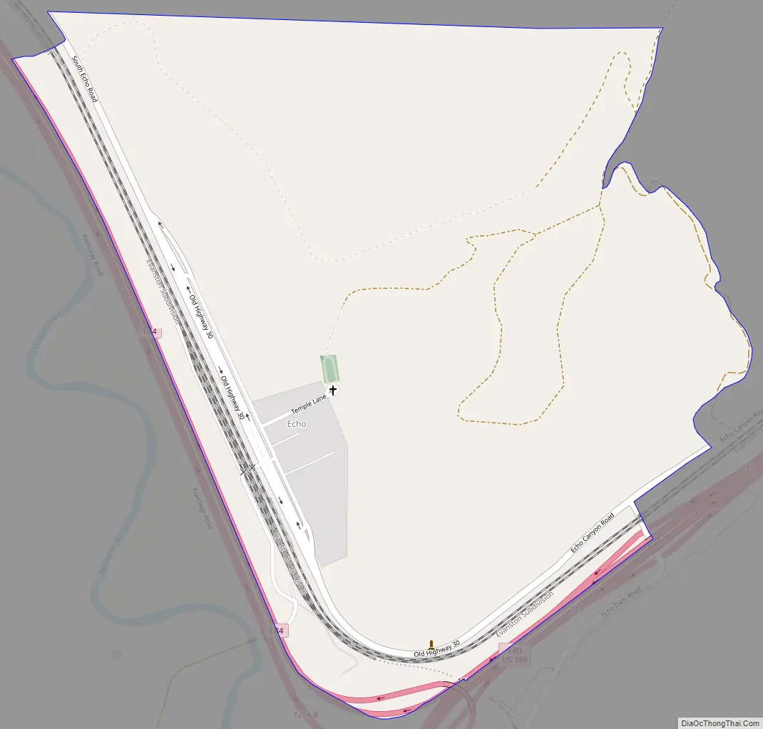
Online Interactive Map
Click on ![]() to view map in "full screen" mode.
to view map in "full screen" mode.
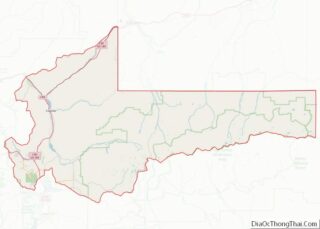
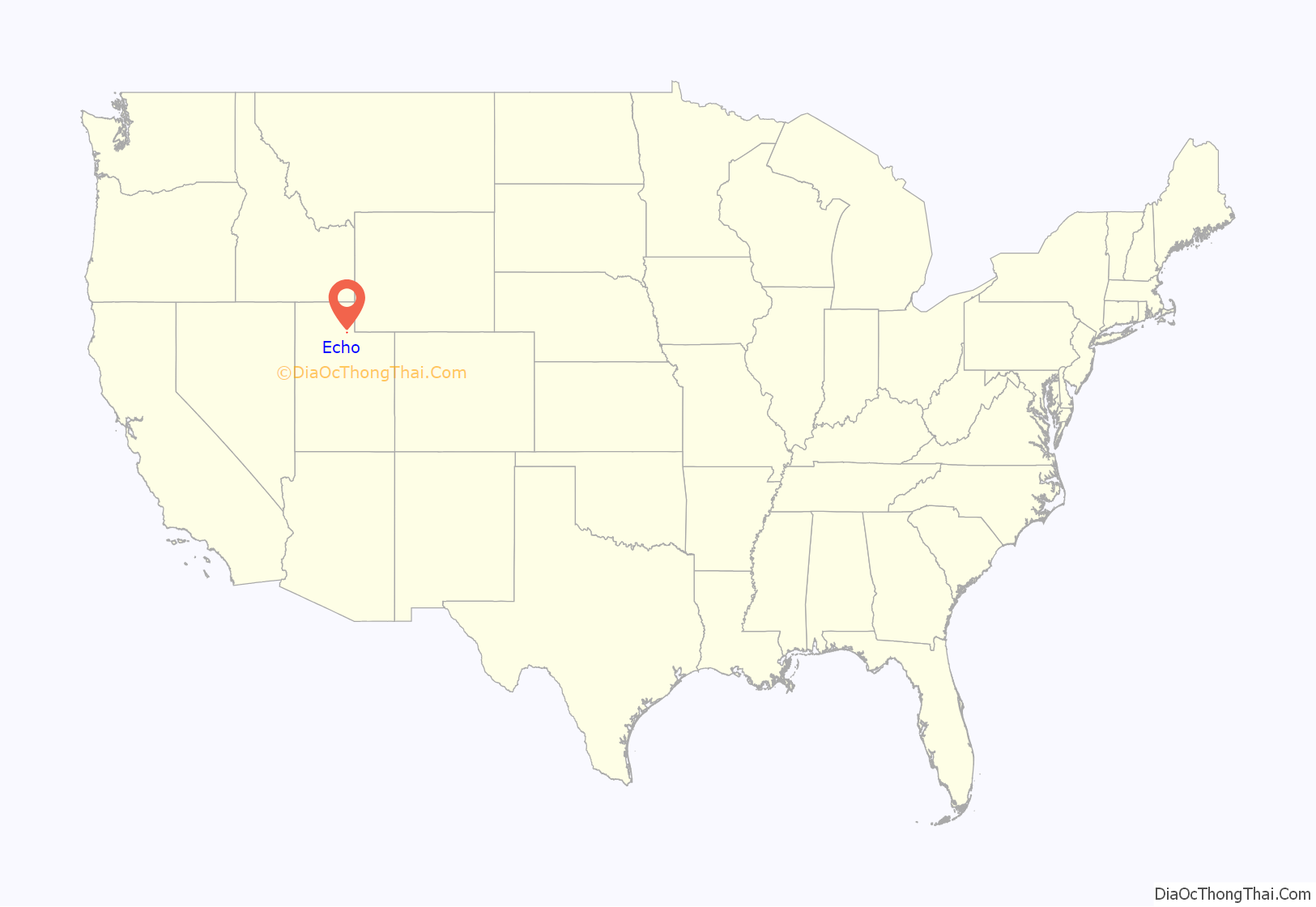
Echo location map. Where is Echo CDP?
History
Echo originated as a stopover along the Mormon trail. Later the town served as a junction between the First transcontinental railroad and a spur line to serve silver mines near Park City. Since the creation of U.S. Highways Echo has served as a highway junction, where the main road coming from Wyoming splits with one branch proceeding towards Salt Lake City, continuing towards San Francisco, California, and the other towards Ogden, continuing to Portland, Oregon. Originally the main highway was numbered U.S. Route 30S and the branch was U.S. Route 530; the modern freeway equivalents are numbered Interstate 80 and Interstate 84.
Echo was significant to the Union Pacific Railroad. The town served as a coaling and watering station for trains entering Echo Canyon. From Echo, helper locomotives were added, when needed, to push trains up the steep grade to Wahsatch. A large coaling tower and many other railroad infrastructures existed in and around the town. Echo saw the most action during World War II.
The introduction of diesel power, especially after the war, negated the need for the services previously required by steam. The coaling tower, most trackage, and structures were removed.
Echo had faded by the sixties, yet was still alive by the junction of two major highways. However, the arrival of the interstate relegated the town to a few quaint buildings; some homes, a motel, restaurant and bus station. A tavern sells cigarettes, food, and beer. Nearby; Echo Canyon is a magnificent spectacle with its high rock sides and colorful scenery. The canyon begins just east of Echo and ends outside of Wahsatch, Utah.
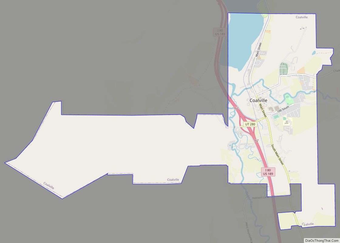
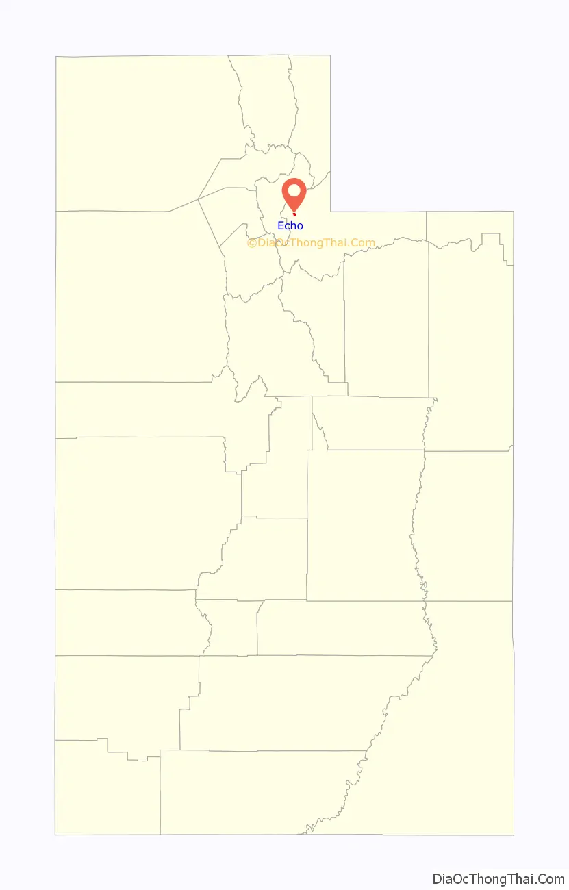
Echo Road Map
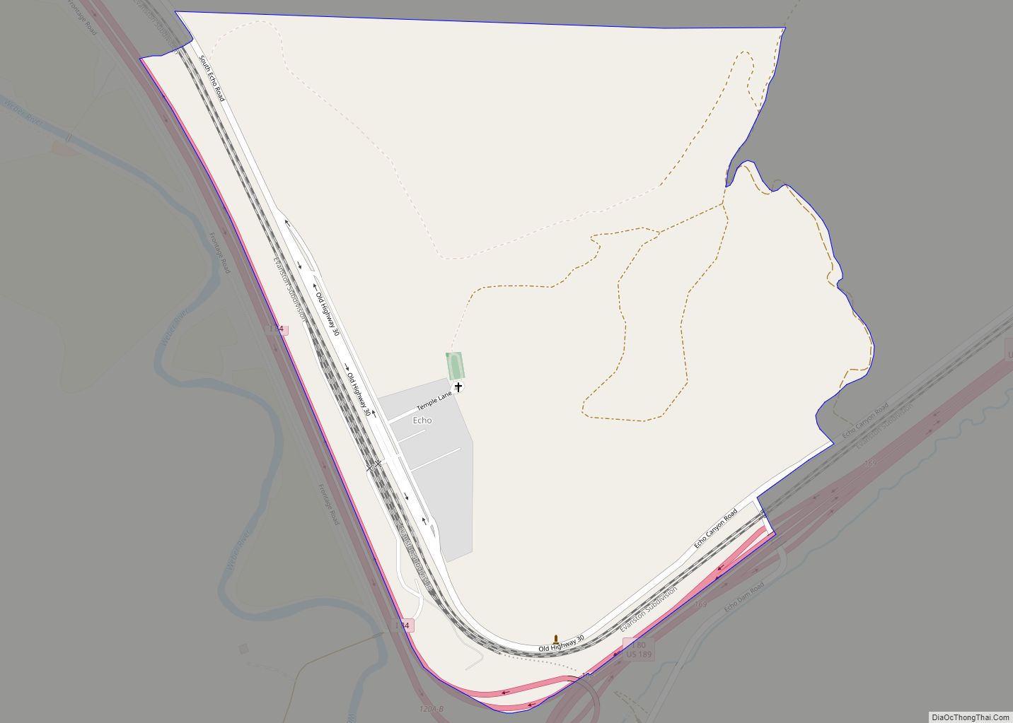
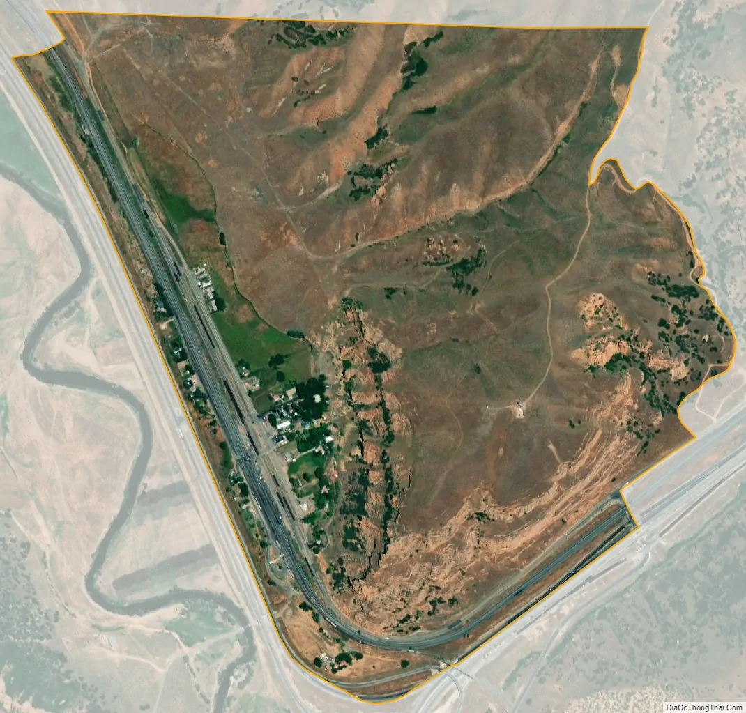
Echo city Satellite Map
See also
Map of Utah State and its subdivision: Map of other states:- Alabama
- Alaska
- Arizona
- Arkansas
- California
- Colorado
- Connecticut
- Delaware
- District of Columbia
- Florida
- Georgia
- Hawaii
- Idaho
- Illinois
- Indiana
- Iowa
- Kansas
- Kentucky
- Louisiana
- Maine
- Maryland
- Massachusetts
- Michigan
- Minnesota
- Mississippi
- Missouri
- Montana
- Nebraska
- Nevada
- New Hampshire
- New Jersey
- New Mexico
- New York
- North Carolina
- North Dakota
- Ohio
- Oklahoma
- Oregon
- Pennsylvania
- Rhode Island
- South Carolina
- South Dakota
- Tennessee
- Texas
- Utah
- Vermont
- Virginia
- Washington
- West Virginia
- Wisconsin
- Wyoming