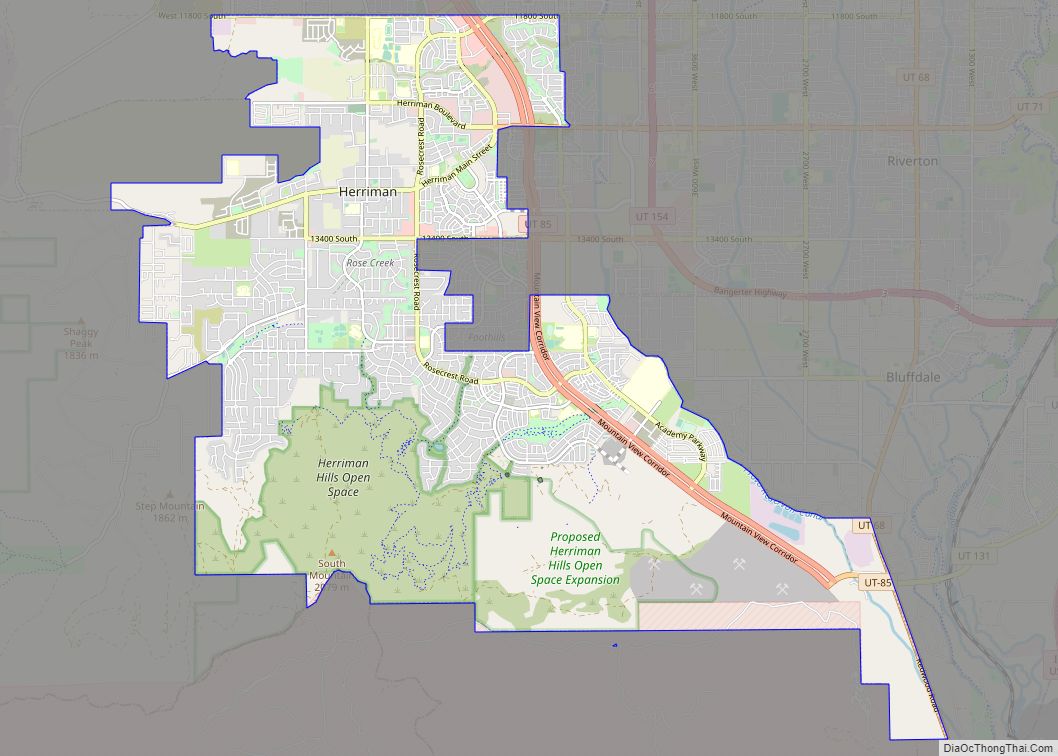
Herriman (/ˈhɛrɪmən/ HERR-ih-mən) is a city in southwestern Salt Lake County, Utah. The population was 55,144 as of the 2020 census. Although Herriman was a town in 2000, it has since been classified as a fourth-class city by state law. The city has experienced rapid growth since incorporation in 1999, as its population was just 1,523 at the 2000 census. It grew from being the 111th-largest incorporated place in Utah in 2000 to the 14th-largest in 2020.
| Name: | Herriman city |
|---|---|
| LSAD Code: | 25 |
| LSAD Description: | city (suffix) |
| State: | Utah |
| County: | Salt Lake County |
| Incorporated: | 1999 |
| Elevation: | 5,000 ft (1,524 m) |
| Total Area: | 21.63 sq mi (56.03 km²) |
| Land Area: | 21.63 sq mi (56.03 km²) |
| Water Area: | 0.00 sq mi (0.00 km²) |
| Total Population: | 55,144 |
| Population Density: | 2,549.42/sq mi (984.19/km²) |
| ZIP code: | 84096 |
| Area code: | 385, 801 |
| FIPS code: | 4934970 |
| GNISfeature ID: | 1428675 |
| Website: | http://www.herriman.org |
Online Interactive Map
Click on ![]() to view map in "full screen" mode.
to view map in "full screen" mode.
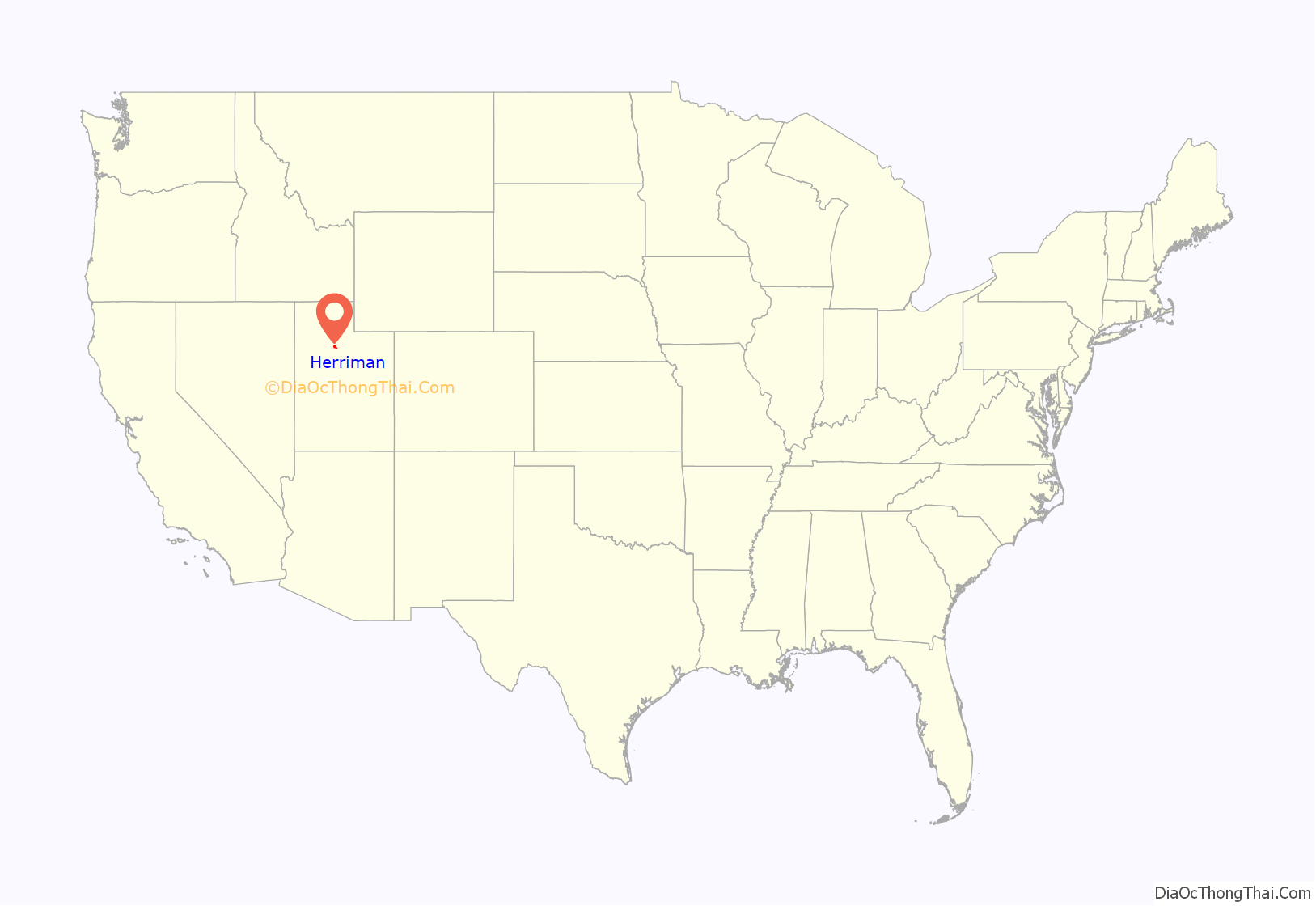
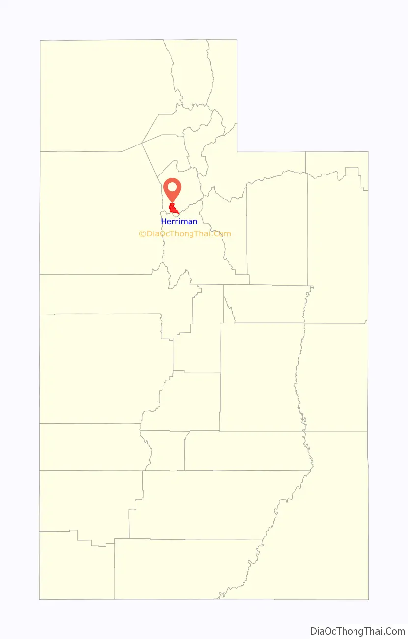
Herriman location map. Where is Herriman city?
History
Founding
Herriman was established in 1851 by Henry Harriman, Thomas Jefferson Butterfield, John Jay Stocking, and Robert Cowan Petty. A fort was established where the community garden is today. The only remnants of Fort Herriman are the two black locust trees that stand where the entrance to the fort once was. The Fort was abandoned in 1857 as the Johnston Army came West.
Incorporation
Herriman remained a small community until 1999, when proactive citizens, including Brett Wood, Michelle Baguley, Marion Millett, Jerry Walker and J. Lynn Crane, went door to door asking people to sign a petition to be incorporated into a town. In 1998 Rose Creek Estates, developed by Watt Homes, started the first “subdivision” with the property under 1 acre. Later, Rosecrest, a land developer who acquired some rights in a large area around Herriman, started large-scale residential development. Rosecrest is owned by parent company Sorenson Companies founded by the late James LeVoy Sorenson and currently managed by his son. In 2007, Rosecrest won a lawsuit with partner land owners/developers that allowed about 4,000 acres (16 km) to be annexed out of neighboring city Bluffdale into Herriman to further expand the Rosecrest/Herriman housing projects. The lawsuit stemmed from a struggle between Bluffdale city officials, strict city building requirements, and Rosecrest. The addition of Rosecrest greatly brought up Herriman’s population and enabled the town to be turned into a city.
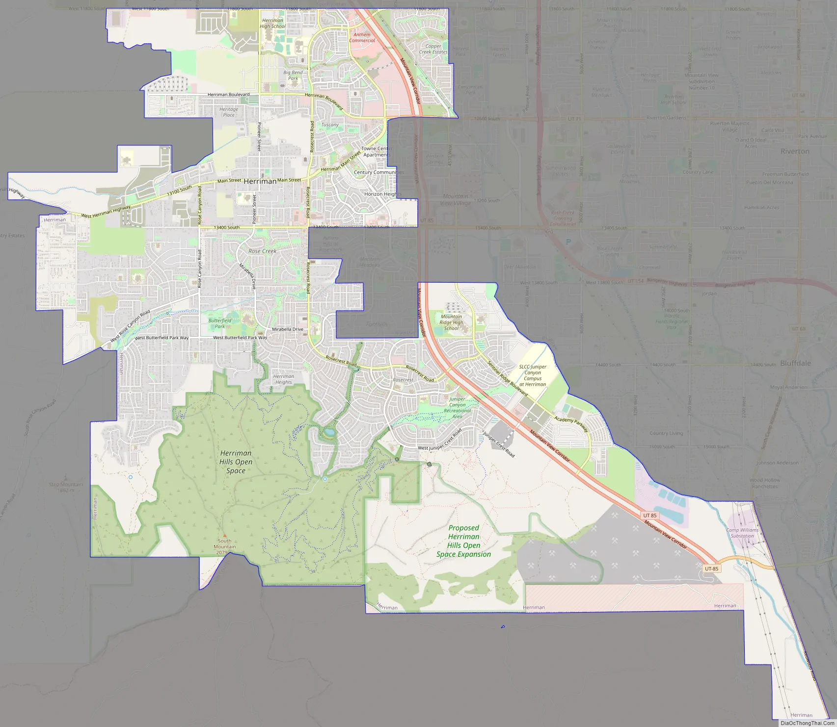
Herriman Road Map
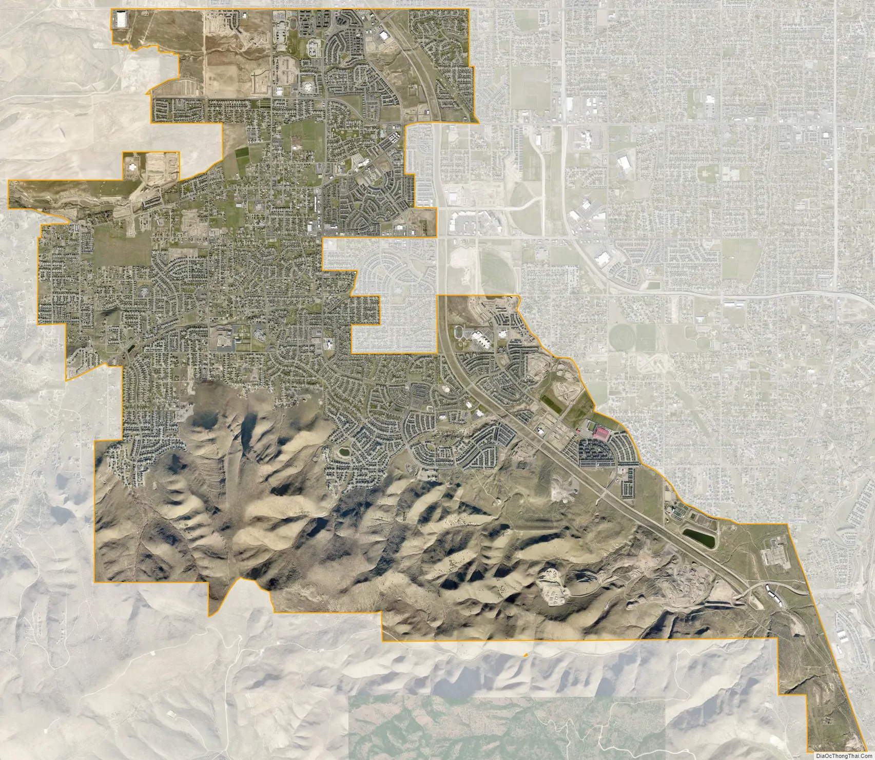
Herriman city Satellite Map
Geography
According to the United States Census Bureau, the city has a total area of 20.3 square miles (52.5 km), all land. The city frequently annexes new areas west and east of its borders. The newest annexation was in 2018 when part of Kennecott Copper Mine’s land was annexed to make way for technology centers.
Herriman shares borders with Riverton to the east, South Jordan to the north, and Bluffdale to the southeast.
See also
Map of Utah State and its subdivision: Map of other states:- Alabama
- Alaska
- Arizona
- Arkansas
- California
- Colorado
- Connecticut
- Delaware
- District of Columbia
- Florida
- Georgia
- Hawaii
- Idaho
- Illinois
- Indiana
- Iowa
- Kansas
- Kentucky
- Louisiana
- Maine
- Maryland
- Massachusetts
- Michigan
- Minnesota
- Mississippi
- Missouri
- Montana
- Nebraska
- Nevada
- New Hampshire
- New Jersey
- New Mexico
- New York
- North Carolina
- North Dakota
- Ohio
- Oklahoma
- Oregon
- Pennsylvania
- Rhode Island
- South Carolina
- South Dakota
- Tennessee
- Texas
- Utah
- Vermont
- Virginia
- Washington
- West Virginia
- Wisconsin
- Wyoming