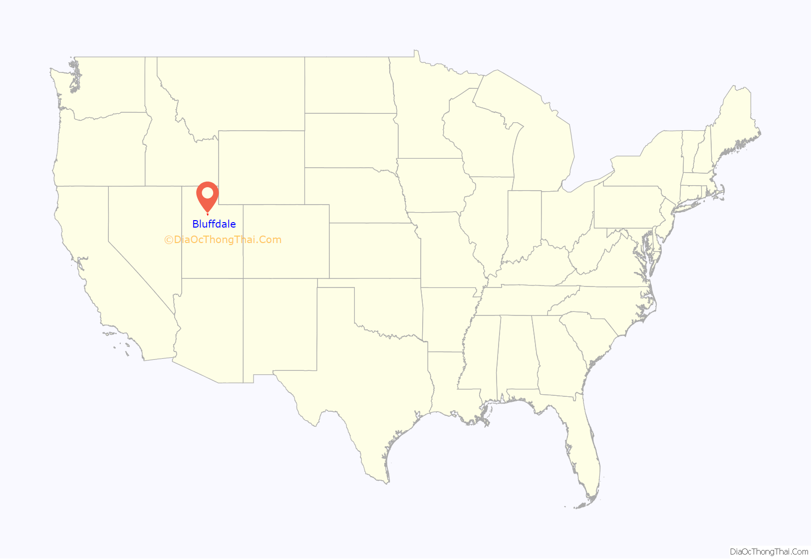
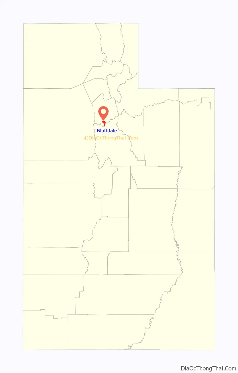
Bluffdale is a city in Salt Lake and Utah counties in the U.S. state of Utah, located about 20 miles (32 km) south of Salt Lake City. As of the 2020 census, the city population was 17,014.
From 2011 to 2013, the National Security Agency’s (NSA) data storage center, the Utah Data Center, was constructed at Camp Williams in Bluffdale. It is approximately 1 million square feet in size.
| Name: | Bluffdale city |
|---|---|
| LSAD Code: | 25 |
| LSAD Description: | city (suffix) |
| State: | Utah |
| County: | Salt Lake County |
| Founded: | 1886 |
| Incorporated: | October 13, 1978 |
| Elevation: | 4,436 ft (1,352 m) |
| Total Area: | 11.14 sq mi (28.86 km²) |
| Land Area: | 11.14 sq mi (28.85 km²) |
| Water Area: | 0.00 sq mi (0.01 km²) |
| Total Population: | 17,014 |
| Population Density: | 1,527.29/sq mi (589.74/km²) |
| ZIP code: | 84065 |
| FIPS code: | 4906810 |
| GNISfeature ID: | 1425844 |
| Website: | bluffdale.com |
Online Interactive Map
Click on ![]() to view map in "full screen" mode.
to view map in "full screen" mode.
Bluffdale location map. Where is Bluffdale city?
History
Bluffdale, named for its geography of bluffs and dales, was first settled in 1848–1849, when the area was originally part of West Jordan. On July 29, 1858, Orrin Porter Rockwell paid five- hundred dollars to Evan M. Green for sixteen acres of land near the Crystal Hot Lakes (adjacent to the present Utah State Prison). This land included Hot Springs Hotel and Brewery with dining facilities, a stable brewery, and a pony express station. As the community expanded, the Bluffdale area became part of South Jordan, then Riverton. In 1883 the Bluffdale School Precinct was formed from parts of Herriman, South Jordan, and Draper. On August 1, 1886, the Bluffdale Ward of The Church of Jesus Christ of Latter-day Saints was organized with Lewis H. Mousley as Bishop. For a short time, the town was called Mousley. Seven irrigation canals originate at the Jordan Narrows in the Bluffdale area and serve the Salt Lake Valley. One of the earliest was Utah, and Salt Lake Canal started in 1862. Some of the early buildings included an adobe church, built in 1887–1888, a tithing house, and a three-room schoolhouse constructed in 1893. The city was incorporated in 1978.
Bluffdale Road Map

Bluffdale city Satellite Map

Geography
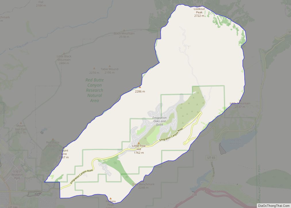
Bluffdale has an area of 10.22 square miles (26.47km) and an average elevation of 4,436 feet (1,352 m) above sea level. Bluffdale is predominately located in Salt Lake County, though a portion of the city is in Utah County. Bluffdale shares city borders with Herriman to the west, Riverton to the north, Draper to the east, and Lehi to the south.
Bluffdale is surrounded by wide open spaces with dramatic views of the Wasatch and Oquirrh Mountain Ranges. The Salt Lake Valley floor is the ancient lakebed of Lake Bonneville, which existed at the end of the last Ice Age. Several Lake Bonneville shorelines can be distinctly seen on the foothills or benches of nearby mountains. The Jordan River flows through the city and is a drainage of Utah Lake that empties into the Great Salt Lake.
Climate
The climate of Bluffdale is semi-arid. Under the Köppen climate classification, Bluffdale has a hot-summer humid continental climate (Dfa) with hot summers and cold, snowy winters.
Parks
The largest park in Bluffdale is Wardle Fields Regional Park, part of the Salt Lake County Parks system. At 40 acres, the park caters to the recreational needs of the region by providing a splash pad, a 25-foot tall watchtower, pickleball and basketball courts, bouldering walls, zip lines, and other amenities.
Bluffdale has a system of 13 parks. Some of the most notable are:
- Bluffdale City Main Park (22.37 acres) is the city’s largest park and features two pavilions, 16 picnic tables, a trail, sports fields and restrooms.
- Vintage Park (6.37 acres) is one of the city’s newest parks and features pavilions and picnic tables, open grass areas, pickleball(2) and tennis courts(2), a sand volleyball court and a splash pad.
- Independence Park (5.73 acres) features a splash pad, 3 pavilions, restrooms, and a variety of play equipment.
- Parry Farms Park features a pavilion, restrooms, 4 pickleball courts, a basketball court, a sledding hill, and play equipment. The parking lot on Jordan Parkway Trail. (5.63 acres)
- Parry Farms Baseball Fields 2 little league size fields (7.22 acres)
- Phillip Gates Memorial Park a pavilion, restrooms, play equipment and walking trail(4.54 acres)
- Mount Jordan Park features open grass area, 2 pavilions, playground equipment and restrooms(3.69 acres)
The City hosts a variety of beautiful and well-maintained trails weaving through and around the city. A significant portion of the Jordan River Parkway Trail, a 40-mile trail crossing three counties, goes through Bluffdale. The City’s trail system includes cycling, pedestrian, and equestrian routes.
See also
Map of Utah State and its subdivision: Map of other states:- Alabama
- Alaska
- Arizona
- Arkansas
- California
- Colorado
- Connecticut
- Delaware
- District of Columbia
- Florida
- Georgia
- Hawaii
- Idaho
- Illinois
- Indiana
- Iowa
- Kansas
- Kentucky
- Louisiana
- Maine
- Maryland
- Massachusetts
- Michigan
- Minnesota
- Mississippi
- Missouri
- Montana
- Nebraska
- Nevada
- New Hampshire
- New Jersey
- New Mexico
- New York
- North Carolina
- North Dakota
- Ohio
- Oklahoma
- Oregon
- Pennsylvania
- Rhode Island
- South Carolina
- South Dakota
- Tennessee
- Texas
- Utah
- Vermont
- Virginia
- Washington
- West Virginia
- Wisconsin
- Wyoming