Leeds is a town in Washington County, Utah, United States. The population was 820 at the 2010 census.
| Name: | Leeds town |
|---|---|
| LSAD Code: | 43 |
| LSAD Description: | town (suffix) |
| State: | Utah |
| County: | Washington County |
| Elevation: | 3,481 ft (1,061 m) |
| Total Area: | 6.29 sq mi (16.30 km²) |
| Land Area: | 6.29 sq mi (16.30 km²) |
| Water Area: | 0.00 sq mi (0.00 km²) |
| Total Population: | 820 |
| Population Density: | 138.68/sq mi (53.54/km²) |
| ZIP code: | 84746 |
| Area code: | 435 |
| FIPS code: | 4944100 |
| GNISfeature ID: | 1442480 |
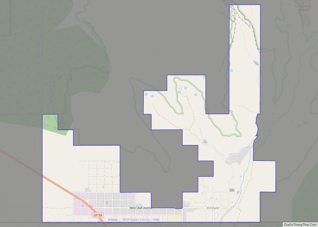
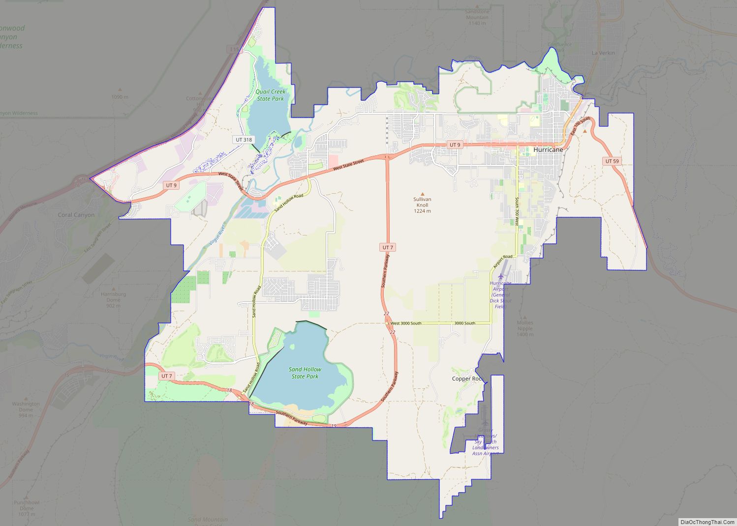
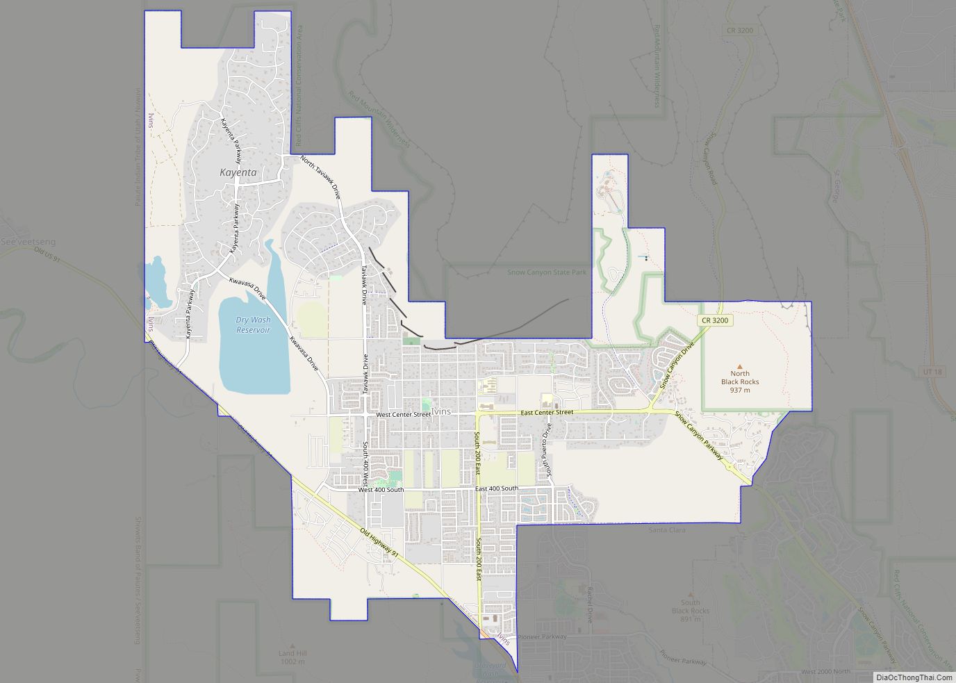
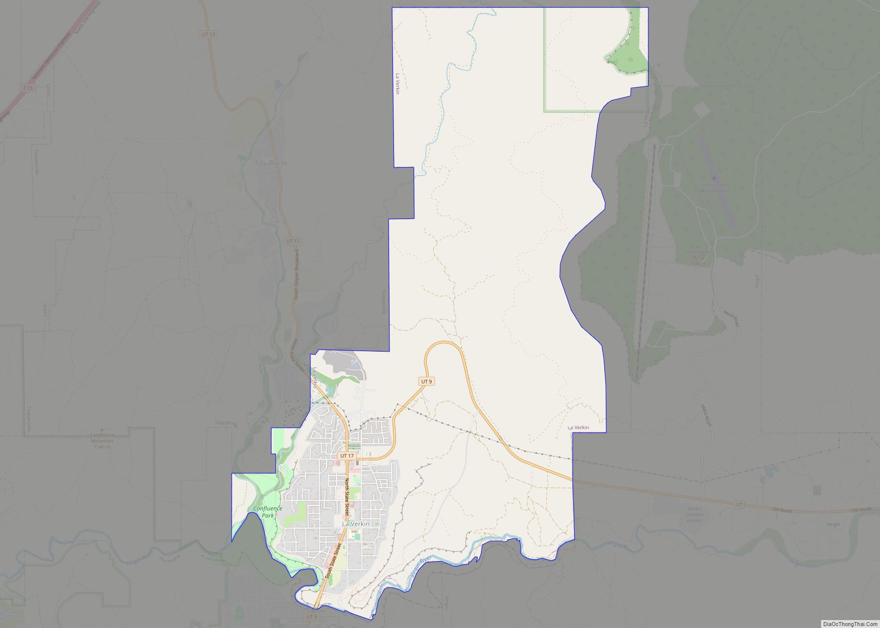
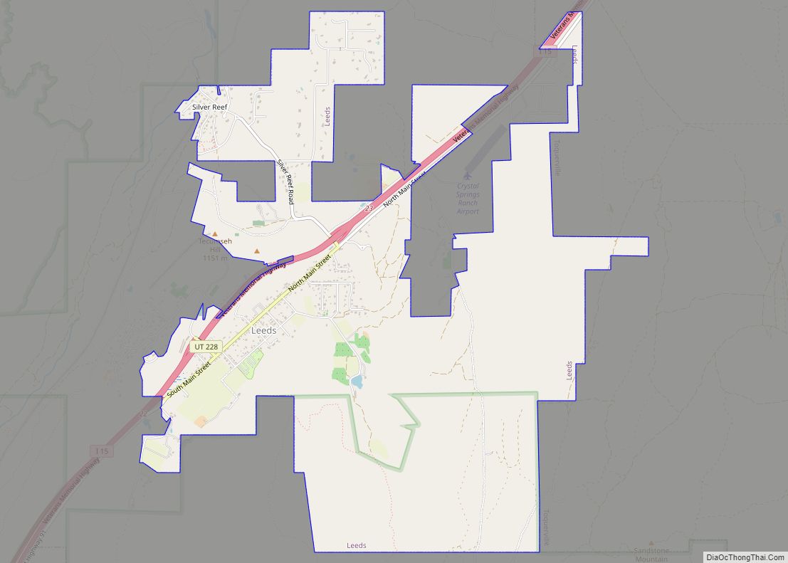
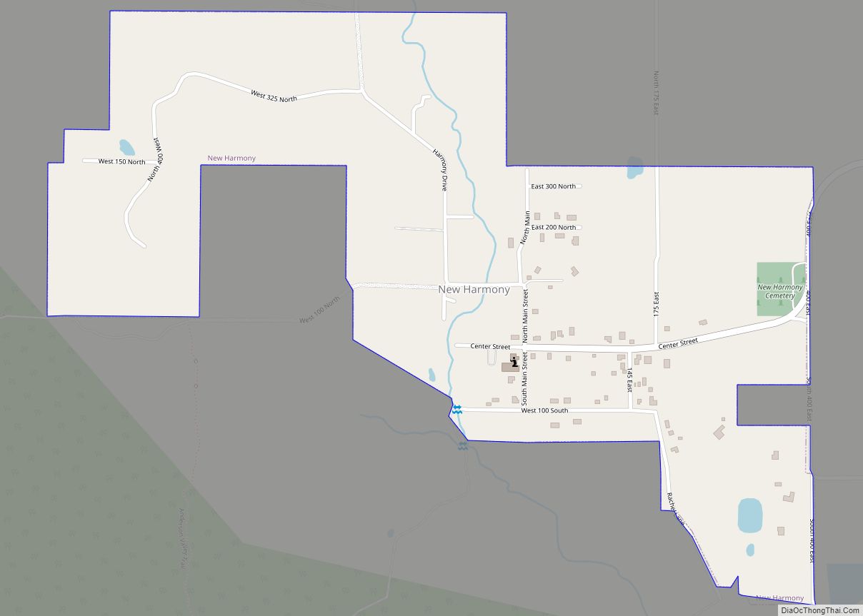
Online Interactive Map
Click on ![]() to view map in "full screen" mode.
to view map in "full screen" mode.
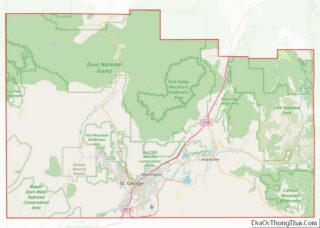
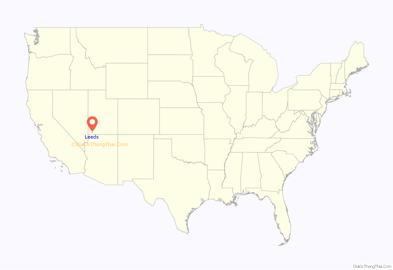
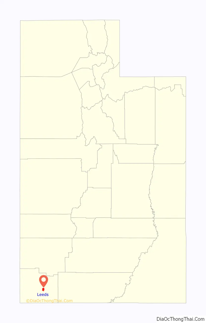
Leeds location map. Where is Leeds town?
History
Formerly known as Bennington, Leeds was formed due to flooding in the neighboring town of Harrisburg. The residents in the flood-affected areas decided to move to this area in 1867. It was renamed in honor of Leeds in England, the origin of many of its settlers. In recent years, the city’s proximity to the ghost town of Silver Reef, the Pine Valley Mountains, and Zion National Park have changed the local economic base from agriculture to tourism.
On June 17, 2009, Utah police and forest rangers destroyed about 8,750 marijuana plants growing in Washington County. Law enforcement reported Mexican cartels have moved their growing operations to Utah to avoid the U.S.-Mexico border and police pressure in California. There were no arrests made and the marijuana fields were in the Pine Valley Mountains near Leeds. Doug Roe, a special agent with the United States Forest Service, said the plants were young and not ready for harvesting.
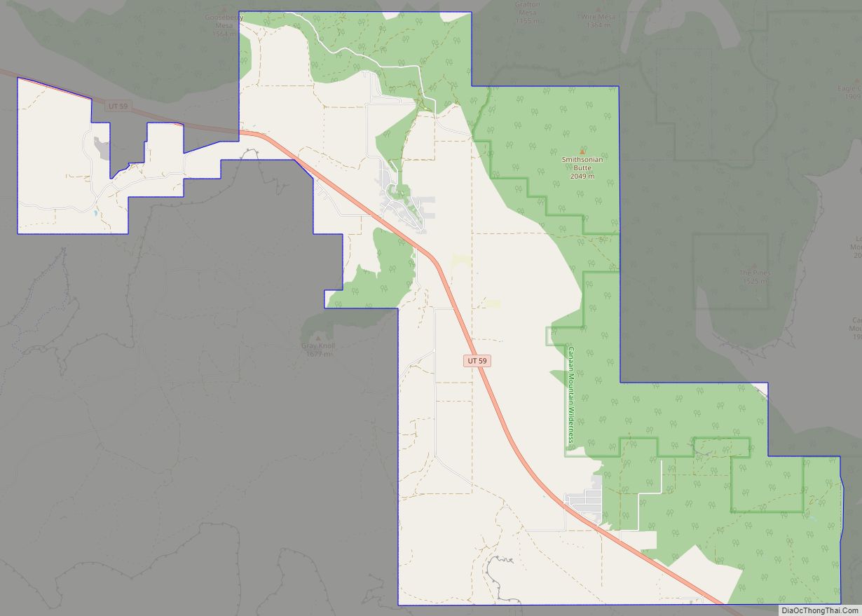
Leeds Road Map

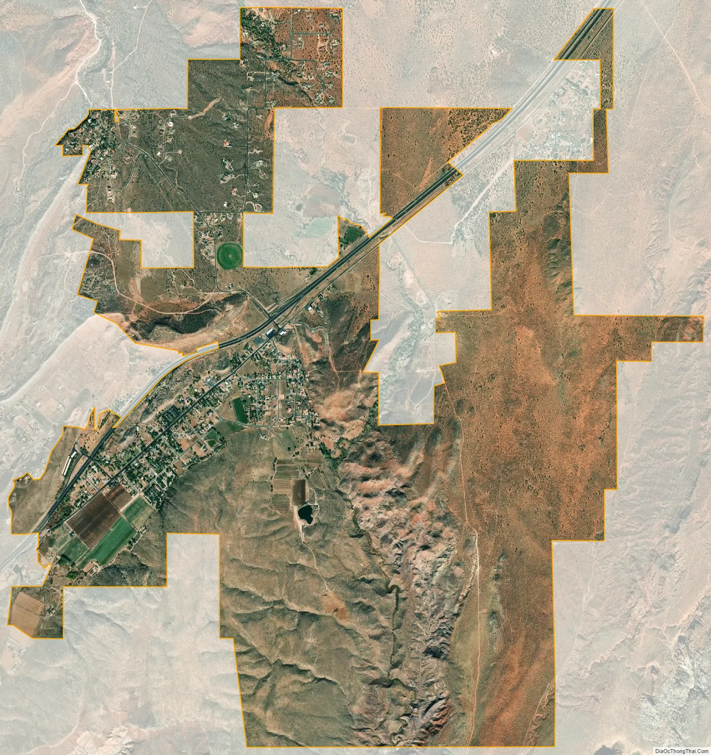
Leeds city Satellite Map
Geography
According to the United States Census Bureau, the town has a total area of 2.0 square miles (5.2 km), all land. The Red Cliffs Desert Reserve borders the town.
Climate
According to the Köppen Climate Classification system, Leeds has a semi-arid climate, abbreviated “BSk” (Tropical and Subtropical Steppe Climate) on climate maps.
See also
Map of Utah State and its subdivision: Map of other states:- Alabama
- Alaska
- Arizona
- Arkansas
- California
- Colorado
- Connecticut
- Delaware
- District of Columbia
- Florida
- Georgia
- Hawaii
- Idaho
- Illinois
- Indiana
- Iowa
- Kansas
- Kentucky
- Louisiana
- Maine
- Maryland
- Massachusetts
- Michigan
- Minnesota
- Mississippi
- Missouri
- Montana
- Nebraska
- Nevada
- New Hampshire
- New Jersey
- New Mexico
- New York
- North Carolina
- North Dakota
- Ohio
- Oklahoma
- Oregon
- Pennsylvania
- Rhode Island
- South Carolina
- South Dakota
- Tennessee
- Texas
- Utah
- Vermont
- Virginia
- Washington
- West Virginia
- Wisconsin
- Wyoming