New Harmony is a town in northern Washington County, Utah, United States. The population was 207 at the 2010 census.
| Name: | New Harmony town |
|---|---|
| LSAD Code: | 43 |
| LSAD Description: | town (suffix) |
| State: | Utah |
| County: | Washington County |
| Elevation: | 5,305 ft (1,617 m) |
| Total Area: | 0.61 sq mi (1.59 km²) |
| Land Area: | 0.61 sq mi (1.59 km²) |
| Water Area: | 0.00 sq mi (0.00 km²) |
| Total Population: | 207 |
| Population Density: | 381.73/sq mi (147.50/km²) |
| ZIP code: | 84757 |
| Area code: | 435 |
| FIPS code: | 4954440 |
| GNISfeature ID: | 1443808 |
| Website: | newharmonyutah.org |
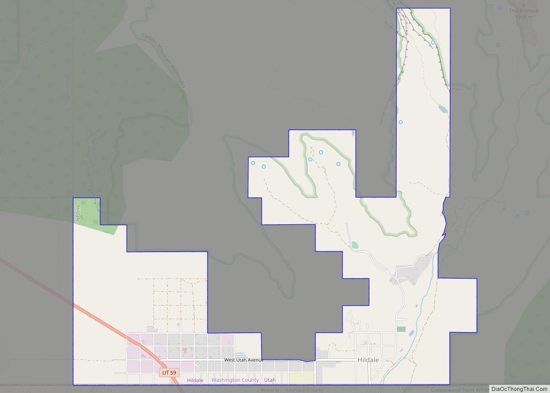
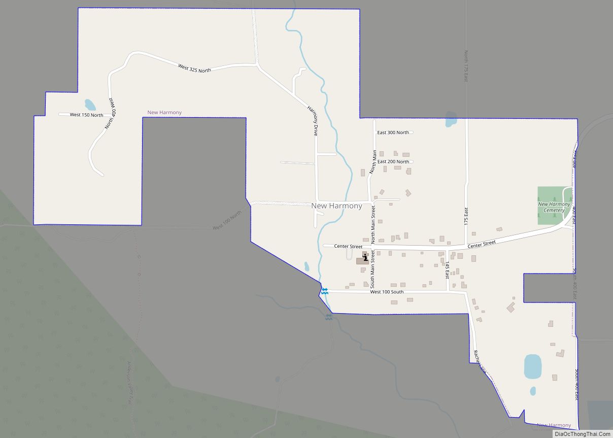
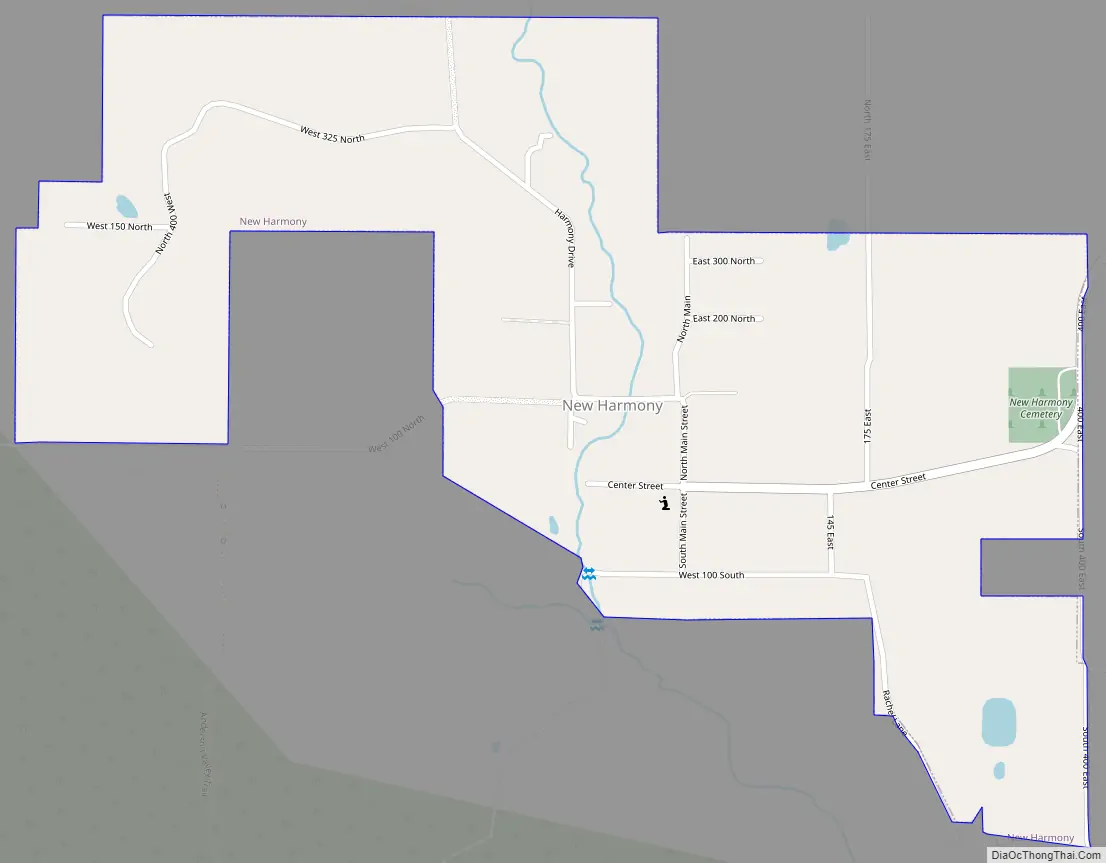
Online Interactive Map
Click on ![]() to view map in "full screen" mode.
to view map in "full screen" mode.
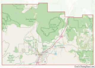
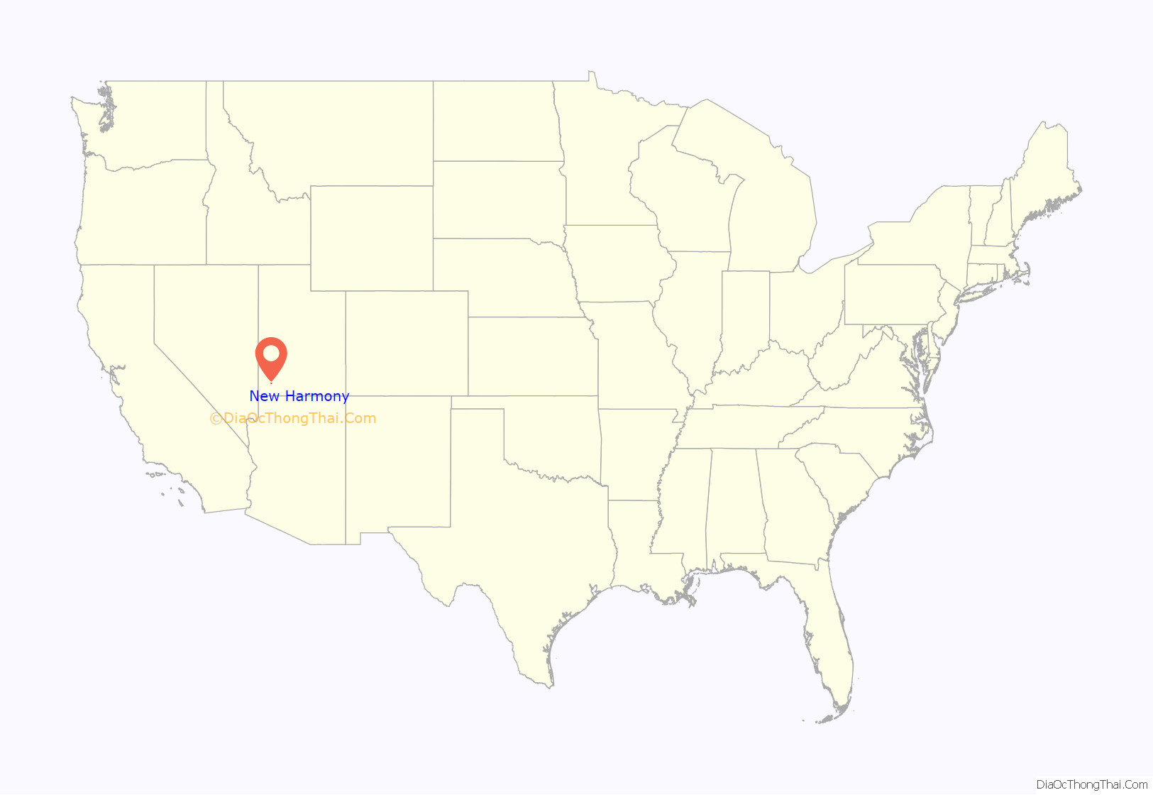
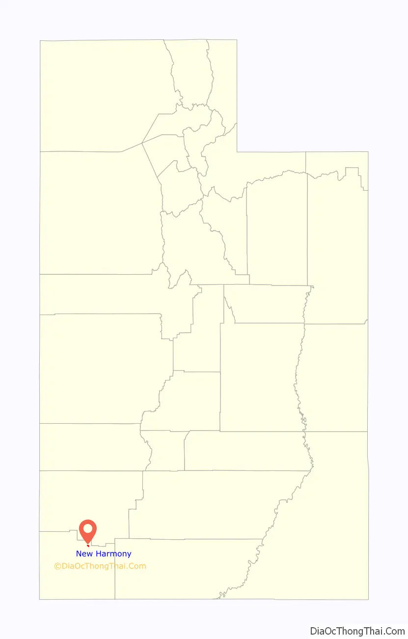
New Harmony location map. Where is New Harmony town?
History
The town was originally settled as part of efforts to mine and refine iron in the area. Settlers built a crude foundry in 1852, but abandoned it soon after due to transport and logistics issues. [1]
The town of New Harmony was settled in 1862, by families driven from Fort Harmony when the fort had to be abandoned after most of its adobe walls were washed away during a month of heavy rains in January and February, during the Great Flood of 1862.
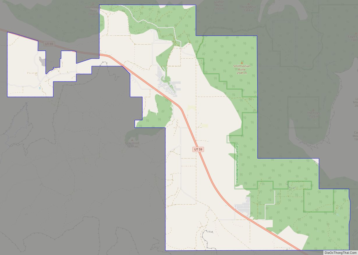
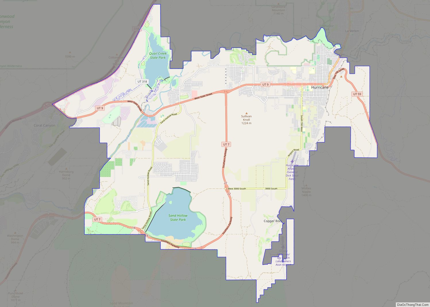
New Harmony Road Map
New Harmony city Satellite Map

Geography
According to the United States Census Bureau, the town has a total area of 0.4 square miles (1.0 km), all land.
New Harmony’s Köppen climate classification is Csa (Hot-summer mediterranean).
The natural vegetation in the immediate vicinity of New Harmony is pinyon-juniper woodland.
The boundary of the Pine Valley Mountain Wilderness lies less than a mile outside of the New Harmony city limits.
New Harmony lies in the watershed of Ash Creek and is therefore in the Colorado River basin. It lies in or near the Basin and Range – Colorado Plateau Transition Zone.
See also
Map of Utah State and its subdivision: Map of other states:- Alabama
- Alaska
- Arizona
- Arkansas
- California
- Colorado
- Connecticut
- Delaware
- District of Columbia
- Florida
- Georgia
- Hawaii
- Idaho
- Illinois
- Indiana
- Iowa
- Kansas
- Kentucky
- Louisiana
- Maine
- Maryland
- Massachusetts
- Michigan
- Minnesota
- Mississippi
- Missouri
- Montana
- Nebraska
- Nevada
- New Hampshire
- New Jersey
- New Mexico
- New York
- North Carolina
- North Dakota
- Ohio
- Oklahoma
- Oregon
- Pennsylvania
- Rhode Island
- South Carolina
- South Dakota
- Tennessee
- Texas
- Utah
- Vermont
- Virginia
- Washington
- West Virginia
- Wisconsin
- Wyoming