Lindon is a city in Utah County, Utah, United States. It is part of the Provo–Orem, Utah Metropolitan Statistical Area. The population was 10,070 at the 2010 census. In July 2019 it was estimated to be to 11,100 by the US Census Bureau.
| Name: | Lindon city |
|---|---|
| LSAD Code: | 25 |
| LSAD Description: | city (suffix) |
| State: | Utah |
| County: | Utah County |
| Incorporated: | March 24, 1924 |
| Elevation: | 4,642 ft (1,415 m) |
| Total Area: | 8.54 sq mi (22.11 km²) |
| Land Area: | 8.35 sq mi (21.63 km²) |
| Water Area: | 0.19 sq mi (0.48 km²) |
| Total Population: | 10,070 |
| Population Density: | 1,329.34/sq mi (513.27/km²) |
| ZIP code: | 84042 |
| Area code: | 801 |
| FIPS code: | 4945090 |
| GNISfeature ID: | 1442630 |
| Website: | www.lindoncity.org |
Online Interactive Map
Click on ![]() to view map in "full screen" mode.
to view map in "full screen" mode.
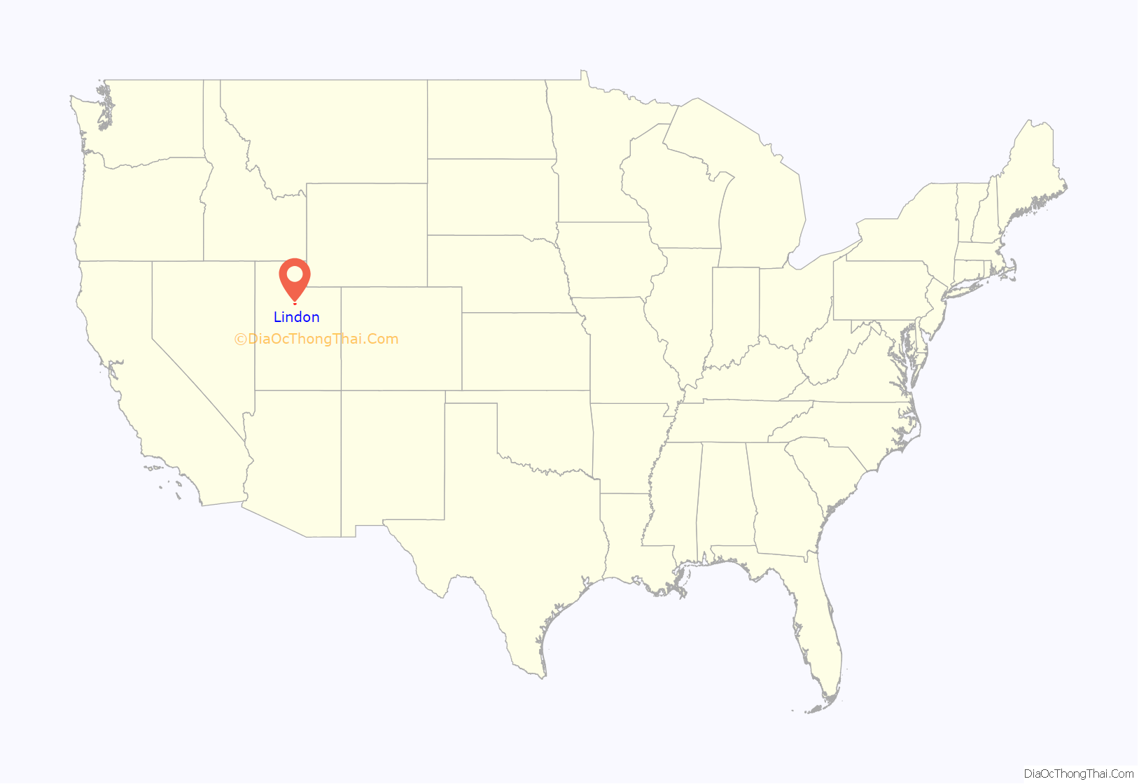
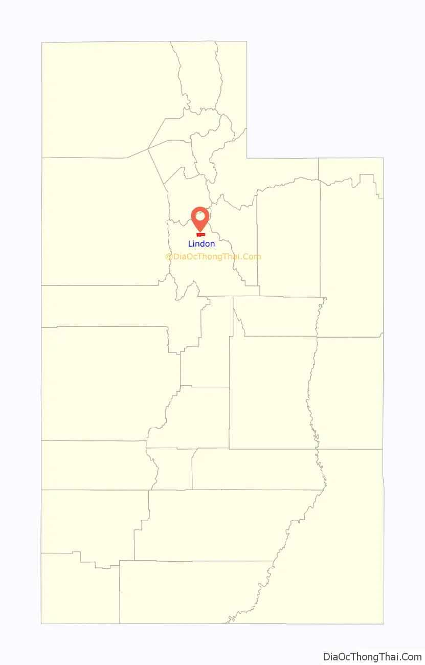
Lindon location map. Where is Lindon city?
History
Originally settled in 1861, Lindon began as pioneers moved into what was then the Lindon grazing land. The town was originally named “String Town” because of the way the houses were strung up and down the street between the towns of Orem and Pleasant Grove. An old linden tree (Tilia) growing in town in 1901 inspired the present (misspelled) name. Over the past century Lindon has seen organized development, but it has tried to remain true to its motto: “Lindon: a little bit of country”.
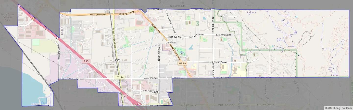
Lindon Road Map
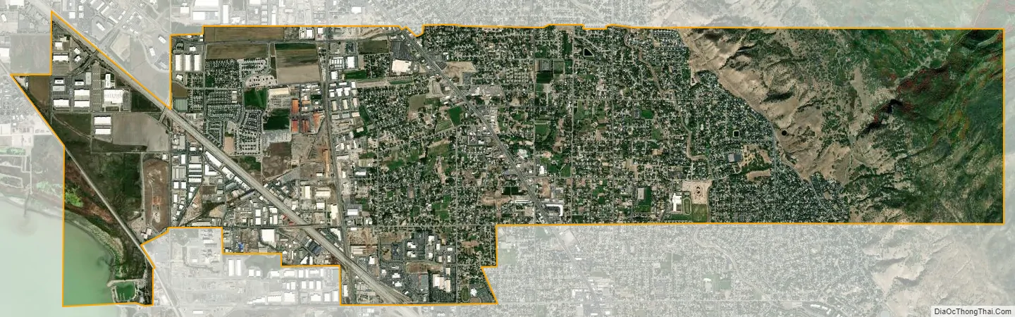
Lindon city Satellite Map
Geography
According to the United States Census Bureau, the city has a total area of 8.6 square miles (22.2 km), of which 8.4 square miles (21.8 km) is land and 0.2 square mile (0.5 km) (2.21%) is water.
See also
Map of Utah State and its subdivision: Map of other states:- Alabama
- Alaska
- Arizona
- Arkansas
- California
- Colorado
- Connecticut
- Delaware
- District of Columbia
- Florida
- Georgia
- Hawaii
- Idaho
- Illinois
- Indiana
- Iowa
- Kansas
- Kentucky
- Louisiana
- Maine
- Maryland
- Massachusetts
- Michigan
- Minnesota
- Mississippi
- Missouri
- Montana
- Nebraska
- Nevada
- New Hampshire
- New Jersey
- New Mexico
- New York
- North Carolina
- North Dakota
- Ohio
- Oklahoma
- Oregon
- Pennsylvania
- Rhode Island
- South Carolina
- South Dakota
- Tennessee
- Texas
- Utah
- Vermont
- Virginia
- Washington
- West Virginia
- Wisconsin
- Wyoming


