Mapleton is a city in Utah County, Utah, United States. It is part of the Provo–Orem Metropolitan Statistical Area. The population was 11,365 at the 2020 census.
| Name: | Mapleton city |
|---|---|
| LSAD Code: | 25 |
| LSAD Description: | city (suffix) |
| State: | Utah |
| County: | Utah County |
| Incorporated: | September 3, 1901 (town) April 1, 1948 (city) |
| Elevation: | 4,731 ft (1,442 m) |
| Total Area: | 13.35 sq mi (34.56 km²) |
| Land Area: | 13.35 sq mi (34.56 km²) |
| Water Area: | 0.00 sq mi (0.00 km²) |
| Total Population: | 11,365 |
| Population Density: | 851.31/sq mi (328.85/km²) |
| ZIP code: | 84664 |
| Area code: | 385, 801 |
| FIPS code: | 4947950 |
| GNISfeature ID: | 1443189 |
| Website: | www.mapleton.org |
Online Interactive Map
Click on ![]() to view map in "full screen" mode.
to view map in "full screen" mode.
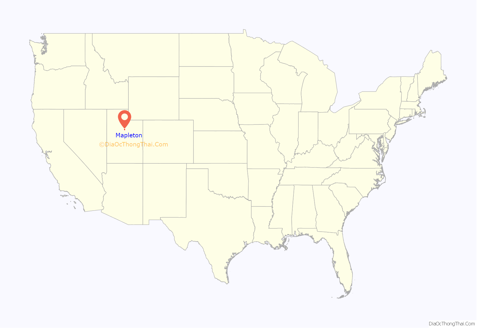
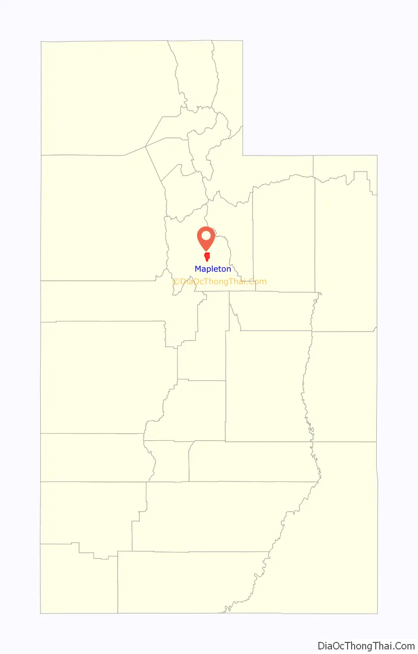
Mapleton location map. Where is Mapleton city?
History
The area was first settled in 1850, and for a time was known as Union Bench. It started as an agricultural extension of Springville. Legal action between residents of Springville and what became Mapleton, largely over water rights, allowed Mapleton to chart its course beginning in 1901 when the community incorporated as a town. Mapleton became a city in 1948.
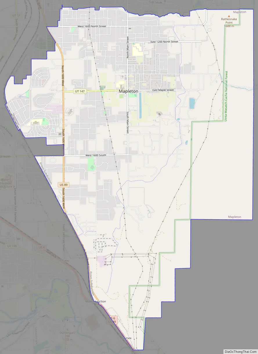
Mapleton Road Map
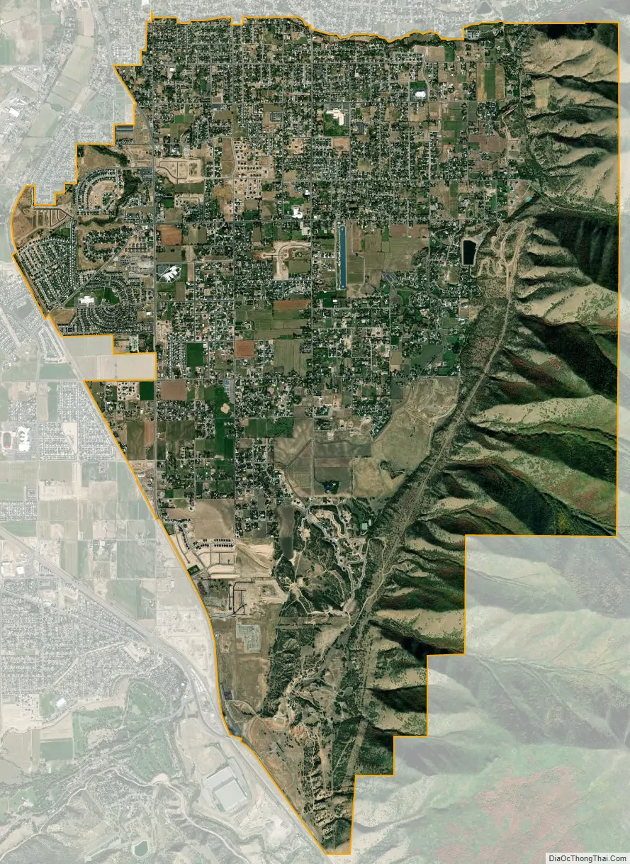
Mapleton city Satellite Map
Geography
According to the United States Census Bureau, the city has a total area of 12.6 square miles (32.6 km), all land. The community lies at an elevation of 4,700 feet (1,400 m) above sea level.
The city is dominated by 10,193-foot (3,107 m) Spanish Fork Peak to the southeast and 7,533-foot (2,296 m) Ether Peak to the northeast. Between the two mountains is Maple Canyon, which is home to Whiting Campground in the Uinta-Wasatch-Cache National Forest. Mapleton residents continue to call Spanish Fork Peak “Maple Mountain”, despite the U.S. Board on Geographic Names having opted for the name that refers to the river and canyon that form its south base. The mountain has also been informally referred to as Sierra Bonita and Monument Peak. The city is bounded to the north by Hobble Creek and extends southward to the Ensign-Bickford plant in Spanish Fork. The Mapleton Lateral Canal crosses the eastern side of the city, and the Bureau of Reclamation began piping it in 2007.
See also
Map of Utah State and its subdivision: Map of other states:- Alabama
- Alaska
- Arizona
- Arkansas
- California
- Colorado
- Connecticut
- Delaware
- District of Columbia
- Florida
- Georgia
- Hawaii
- Idaho
- Illinois
- Indiana
- Iowa
- Kansas
- Kentucky
- Louisiana
- Maine
- Maryland
- Massachusetts
- Michigan
- Minnesota
- Mississippi
- Missouri
- Montana
- Nebraska
- Nevada
- New Hampshire
- New Jersey
- New Mexico
- New York
- North Carolina
- North Dakota
- Ohio
- Oklahoma
- Oregon
- Pennsylvania
- Rhode Island
- South Carolina
- South Dakota
- Tennessee
- Texas
- Utah
- Vermont
- Virginia
- Washington
- West Virginia
- Wisconsin
- Wyoming


