Palmyra is a census-designated place (CDP) in Utah County, Utah, United States. It is part of the Provo–Orem Metropolitan Statistical Area. The population was 491 at the 2010 census. Palmyra is located directly west of Springville and northwest of Spanish Fork.
Palmyra was first settled in 1852.
| Name: | Palmyra CDP |
|---|---|
| LSAD Code: | 57 |
| LSAD Description: | CDP (suffix) |
| State: | Utah |
| County: | Utah County |
| Elevation: | 4,524 ft (1,379 m) |
| Total Area: | 11.7 sq mi (30.4 km²) |
| Land Area: | 11.5 sq mi (29.8 km²) |
| Water Area: | 0.2 sq mi (0.6 km²) |
| Total Population: | 491 |
| Population Density: | 42/sq mi (16/km²) |
| ZIP code: | 84660 |
| Area code: | 801 |
| FIPS code: | 4957630 |
| GNISfeature ID: | 1444167 |
Online Interactive Map
Click on ![]() to view map in "full screen" mode.
to view map in "full screen" mode.
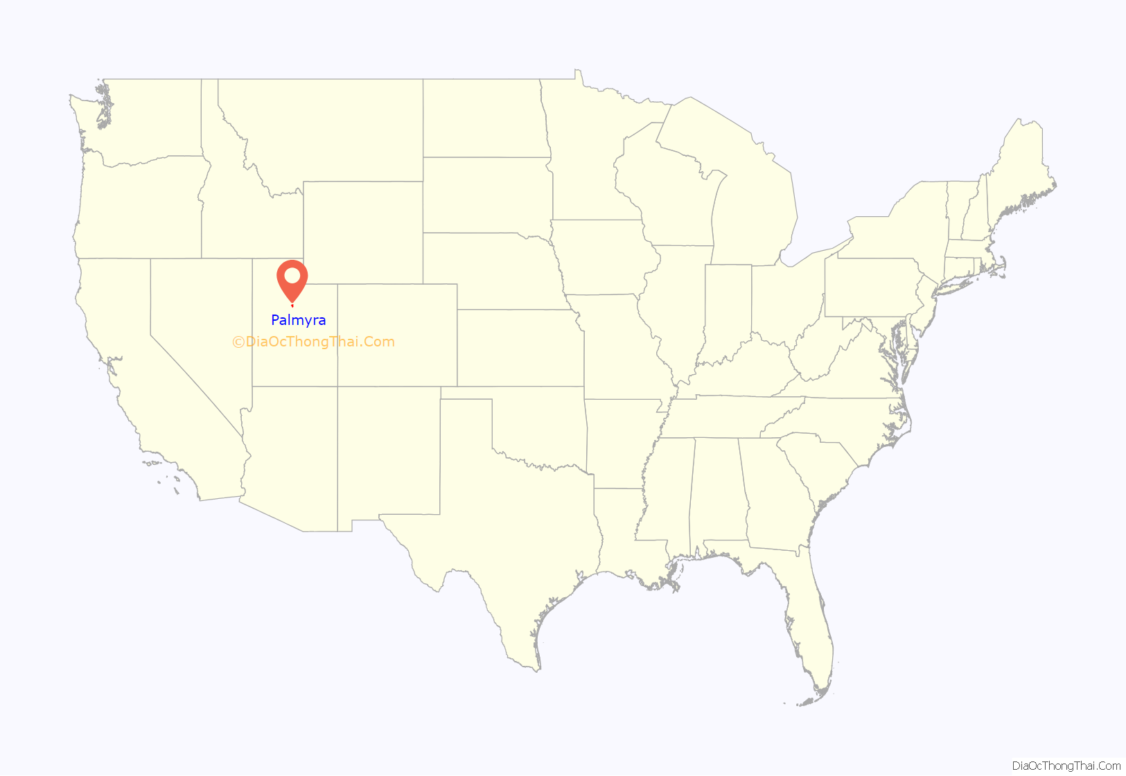
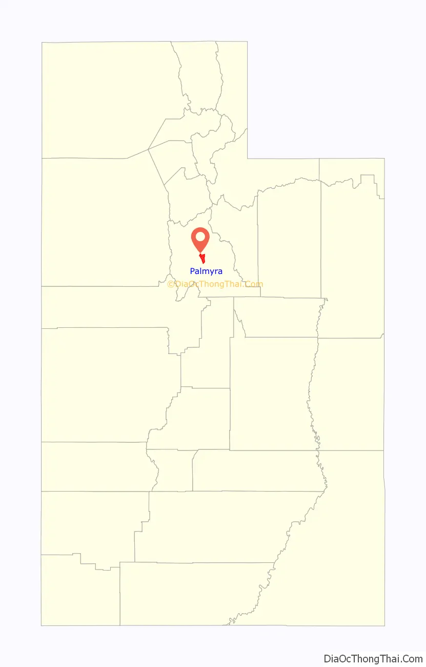
Palmyra location map. Where is Palmyra CDP?
History
Palmyra, located seven miles south of Provo, was founded on the Spanish Fork River in 1852. In March 1853, Stephen Markham was ordained a bishop and set apart to preside over the Palmyra LDS Ward. The town was eventually abandoned sometime in 1856, under the advice of Brigham Young. Most of the settlers located farther up the river, where the site of present-day Spanish Fork had been chosen and where a survey of a city had already been made. At the turn of the century, the area was resettled.
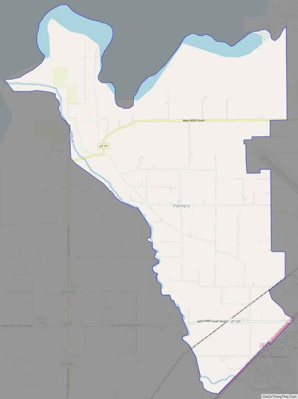
Palmyra Road Map
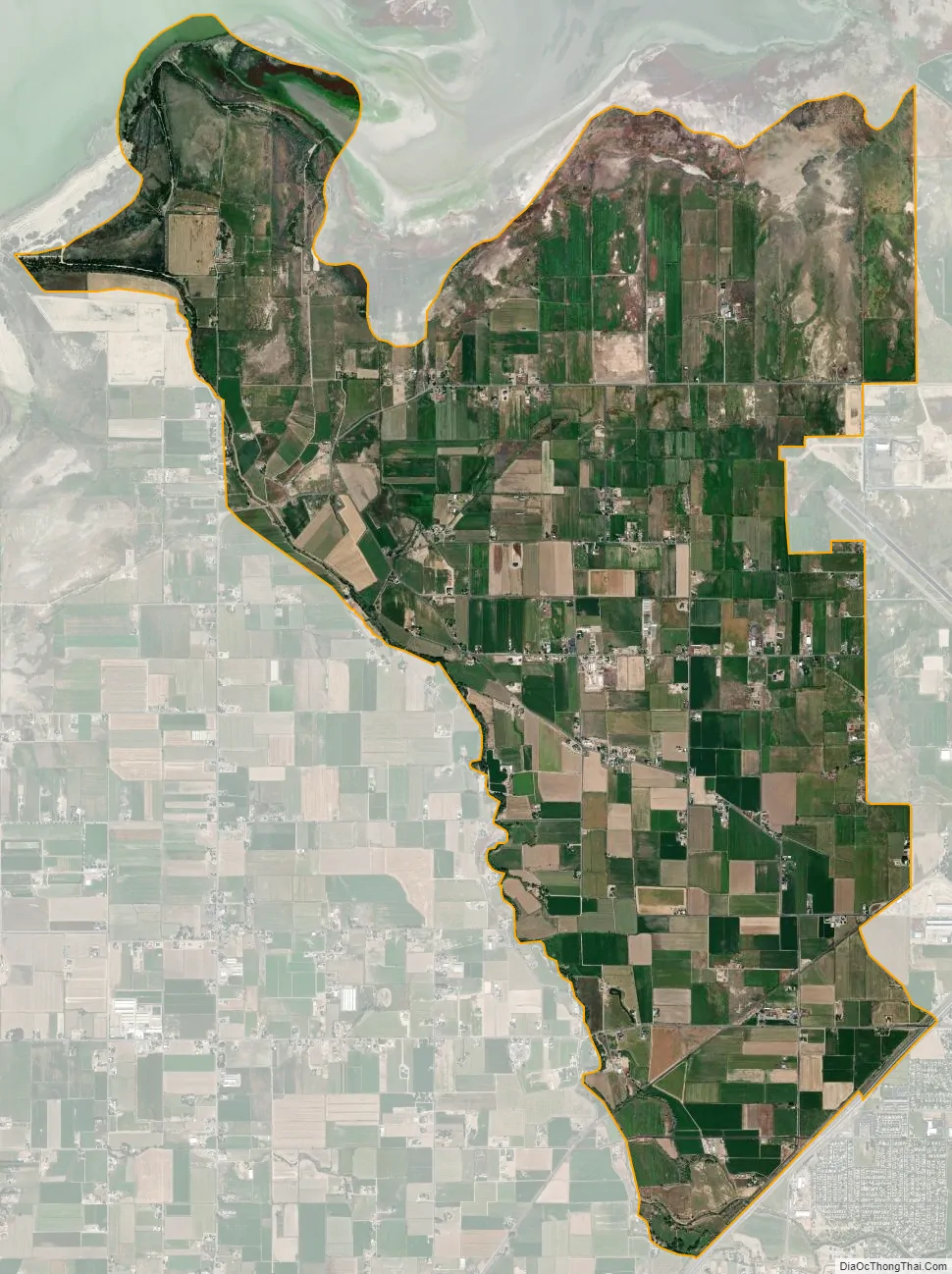
Palmyra city Satellite Map
Geography
According to the United States Census Bureau, the CDP has a total area of 11.7 square miles (30.4 km), of which 11.5 square miles (29.8 km) is land and 0.23 square miles (0.6 km), or 2.05%, is water.
See also
Map of Utah State and its subdivision: Map of other states:- Alabama
- Alaska
- Arizona
- Arkansas
- California
- Colorado
- Connecticut
- Delaware
- District of Columbia
- Florida
- Georgia
- Hawaii
- Idaho
- Illinois
- Indiana
- Iowa
- Kansas
- Kentucky
- Louisiana
- Maine
- Maryland
- Massachusetts
- Michigan
- Minnesota
- Mississippi
- Missouri
- Montana
- Nebraska
- Nevada
- New Hampshire
- New Jersey
- New Mexico
- New York
- North Carolina
- North Dakota
- Ohio
- Oklahoma
- Oregon
- Pennsylvania
- Rhode Island
- South Carolina
- South Dakota
- Tennessee
- Texas
- Utah
- Vermont
- Virginia
- Washington
- West Virginia
- Wisconsin
- Wyoming


