Scipio is a town on the eastern edge of Millard County, Utah, United States. The population was 290 at the 2000 census.
| Name: | Scipio town |
|---|---|
| LSAD Code: | 43 |
| LSAD Description: | town (suffix) |
| State: | Utah |
| County: | Millard County |
| Elevation: | 5,315 ft (1,620 m) |
| Total Area: | 1.04 sq mi (2.70 km²) |
| Land Area: | 1.04 sq mi (2.70 km²) |
| Water Area: | 0.00 sq mi (0.00 km²) |
| Total Population: | 327 |
| Population Density: | 318.92/sq mi (123.12/km²) |
| ZIP code: | 84656 |
| Area code: | 435 |
| FIPS code: | 4967880 |
| GNISfeature ID: | 1445376 |
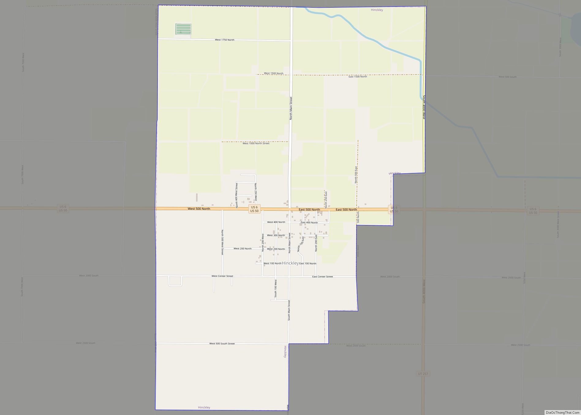
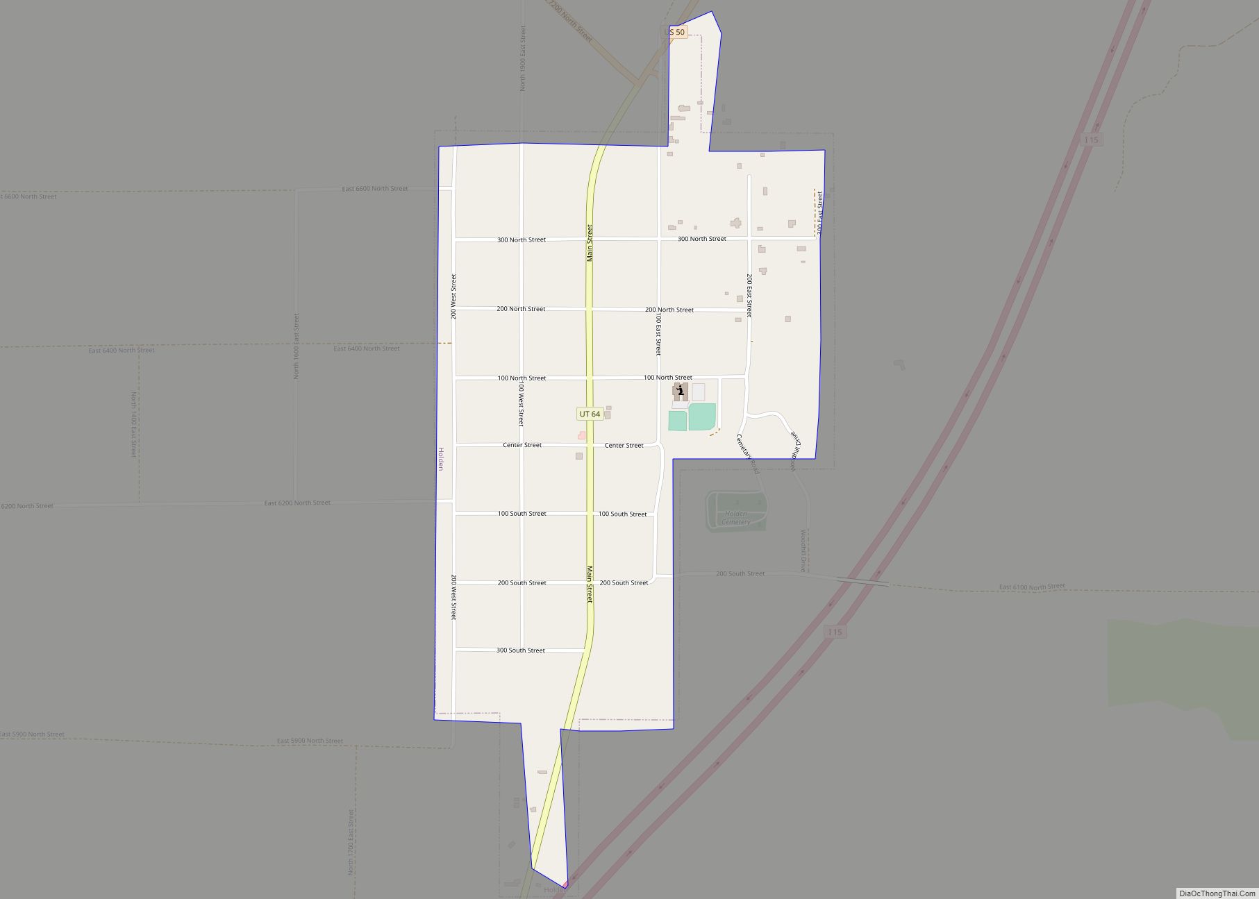
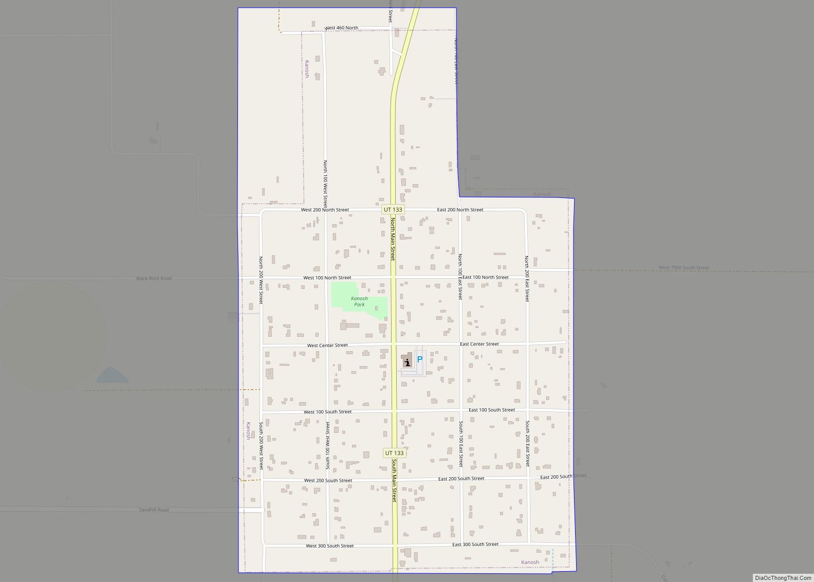
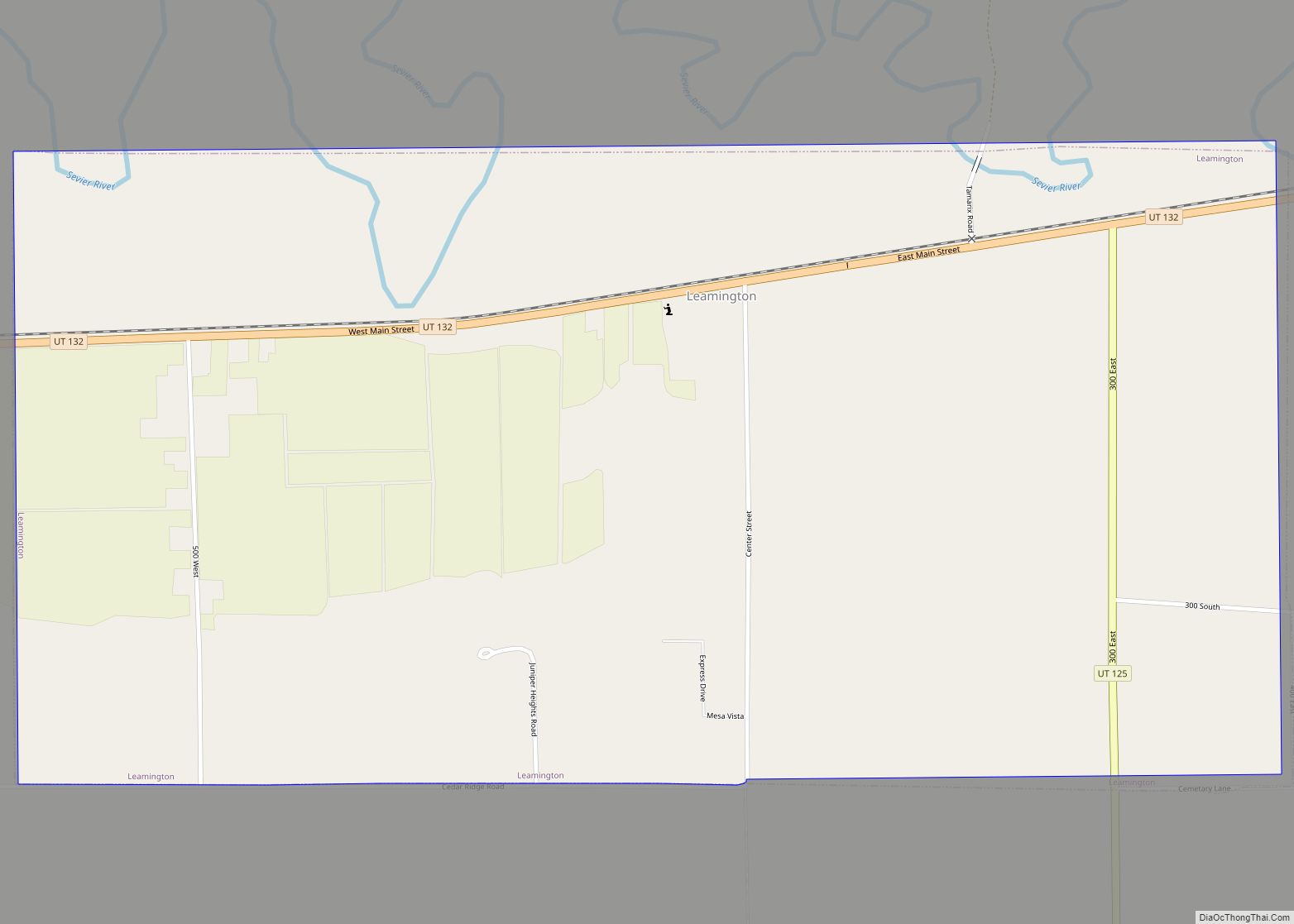
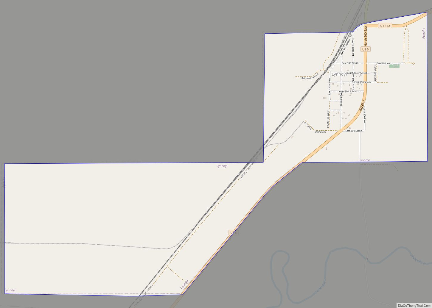
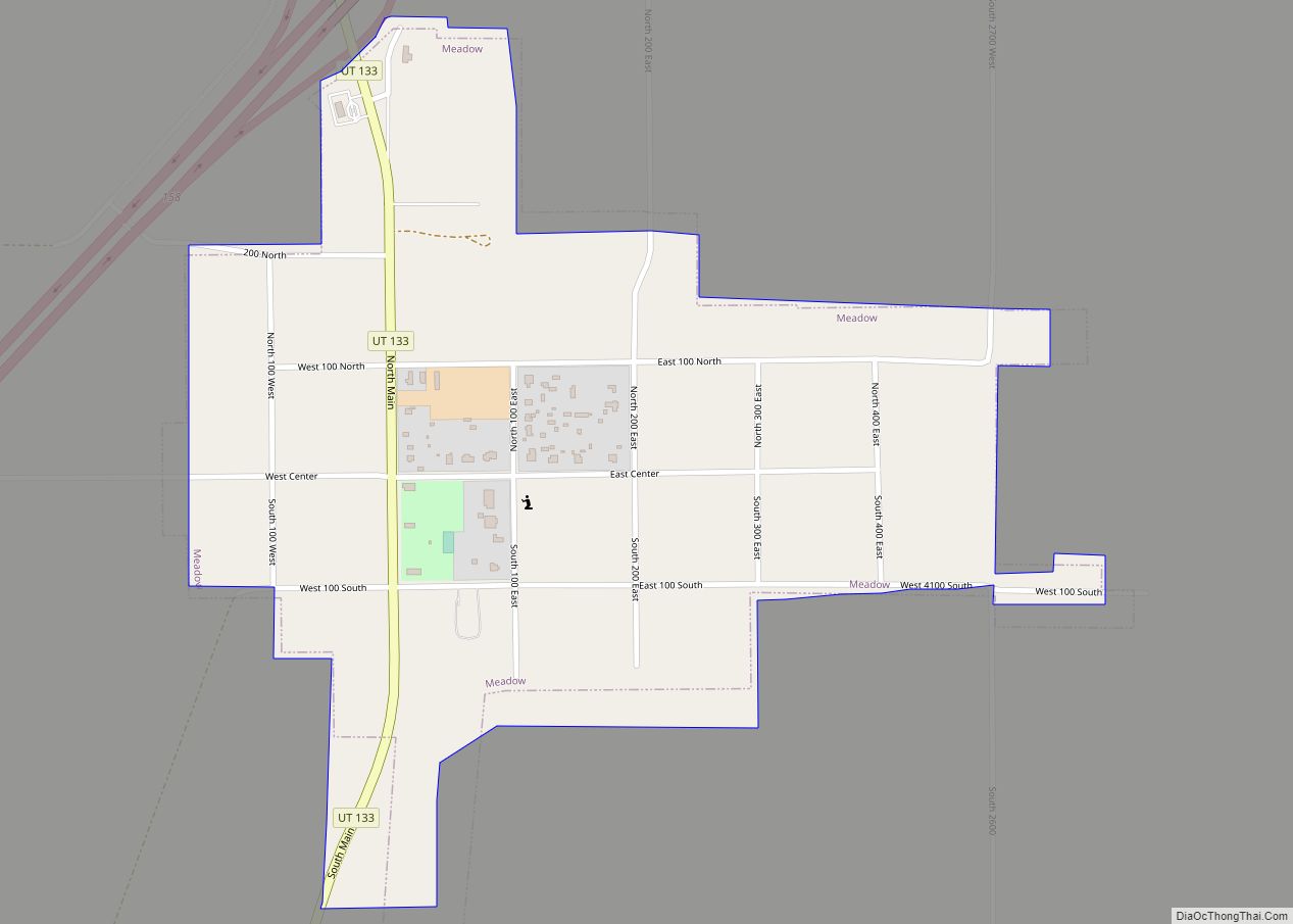
Online Interactive Map
Click on ![]() to view map in "full screen" mode.
to view map in "full screen" mode.
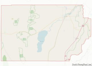
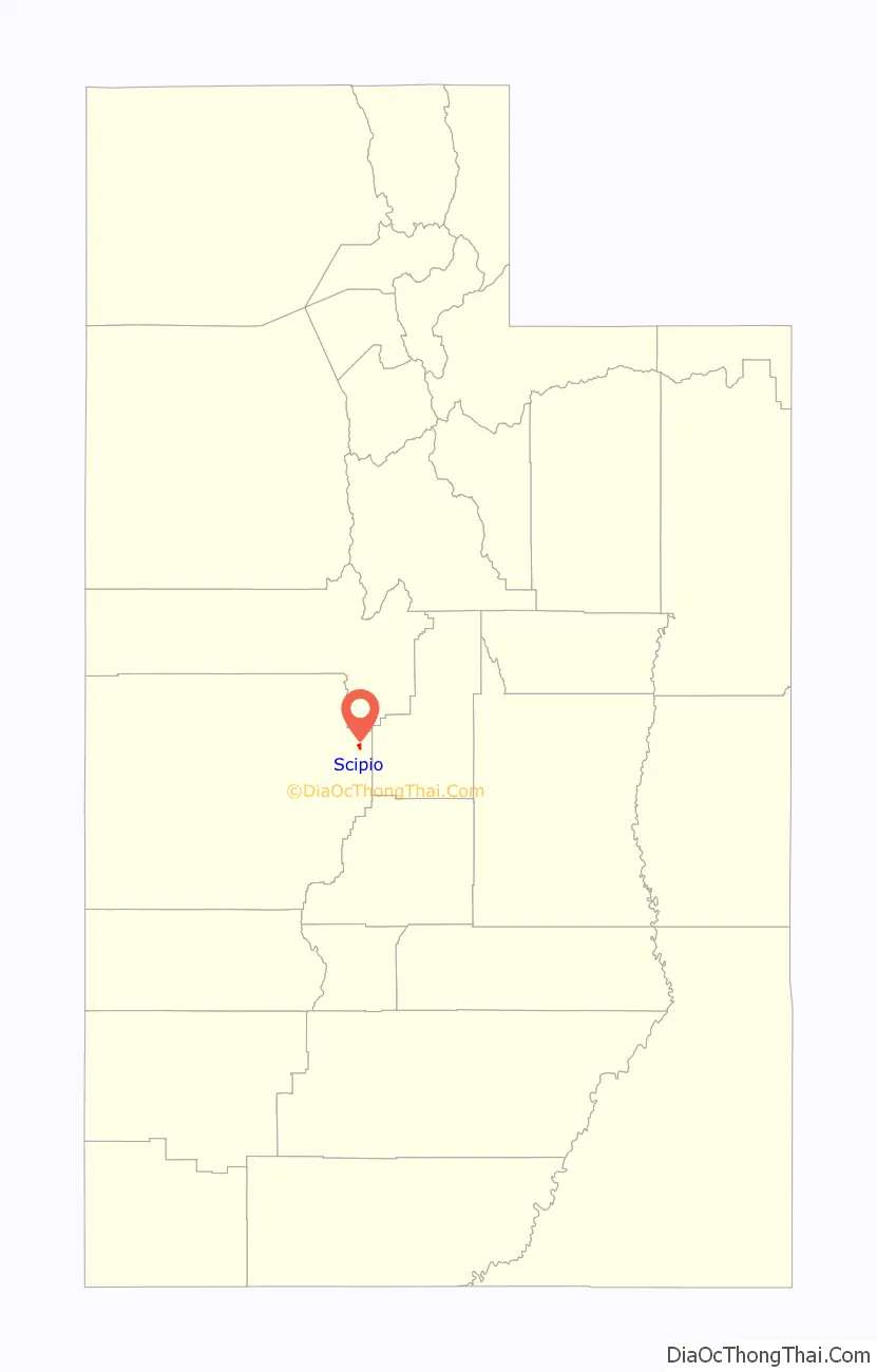
Scipio location map. Where is Scipio town?

History
Scipio was settled in 1859. Early names included Round Valley and Craball, but it was eventually named for Scipio Africanus Kenner, a young lawyer who helped the pioneers to obtain legal title to the land. In 1861, George A. Smith organized a branch of The Church of Jesus Christ of Latter-day Saints in the town. A Fort Scipio also existed here at one time.
There are several pioneer-style homes in the town. Several houses are found on the National Register of Historic Places. They include the Peter Quarnberg House, the Merien and Rosabelle Robins House, the Thuesen-Petersen House and the Pharo Village (a Fremont site) south of Scipio. Also on the Historic Register is the Scipio Town Hall built in 1935 which includes a museum for the family, D.U.P. and a Senior Citizens Center. The Scipio Town Hall was intended for use as a town hall and as a meeting place for all civic and political functions in the community.
Scipio Road Map

Scipio city Satellite Map

Geography
According to the United States Census Bureau, the town has a total area of 5.5 square miles (14 km), all land. It lies in the oval-shaped Round Valley, 37 miles (60 km) south-southwest of Nephi, at the junction of Interstate 15 (I‑15) and U.S. Route 50 (US‑50). The nearest town, approximately 15 miles (24 km) southwest on I‑15, is Holden. About 30 miles (48 km) south-southeast are the towns of Redmond, Salina, and Aurora. About halfway between Scipio and Salina is Lake Scipio, on the west side of US‑50. To the east lie the Valley Mountains, with the highest peak reaching around 8,189 feet (2,496 m). To the south are the Pahvant Mountains, which rise above 10,000 feet (3,000 m).
Climate
According to the Köppen Climate Classification system, Scipio has a hot-summer humid continental climate, abbreviated “Dfa” on climate maps. The hottest temperature recorded in Scipio was 107 °F (41.7 °C) on July 18, 1998, while the coldest temperature recorded was −40 °F (−40.0 °C) on January 9, 1937 and January 22, 1937.
See also
Map of Utah State and its subdivision: Map of other states:- Alabama
- Alaska
- Arizona
- Arkansas
- California
- Colorado
- Connecticut
- Delaware
- District of Columbia
- Florida
- Georgia
- Hawaii
- Idaho
- Illinois
- Indiana
- Iowa
- Kansas
- Kentucky
- Louisiana
- Maine
- Maryland
- Massachusetts
- Michigan
- Minnesota
- Mississippi
- Missouri
- Montana
- Nebraska
- Nevada
- New Hampshire
- New Jersey
- New Mexico
- New York
- North Carolina
- North Dakota
- Ohio
- Oklahoma
- Oregon
- Pennsylvania
- Rhode Island
- South Carolina
- South Dakota
- Tennessee
- Texas
- Utah
- Vermont
- Virginia
- Washington
- West Virginia
- Wisconsin
- Wyoming