Tremont is a village in Tazewell County, Illinois, United States. The population was 2,277 at the 2020 census. Tremont is located 14 miles southeast of Peoria.
| Name: | Tremont village |
|---|---|
| LSAD Code: | 47 |
| LSAD Description: | village (suffix) |
| State: | Illinois |
| County: | Tazewell County |
| Founded: | 1834 |
| Elevation: | 650 ft (200 m) |
| Total Area: | 1.19 sq mi (3.07 km²) |
| Land Area: | 1.19 sq mi (3.07 km²) |
| Water Area: | 0.00 sq mi (0.00 km²) |
| Total Population: | 2,277 |
| Population Density: | 1,921.52/sq mi (741.77/km²) |
| Area code: | 309 |
| FIPS code: | 1775965 |
| GNISfeature ID: | 2400000 |
| Website: | tremontil.com |
Online Interactive Map
Click on ![]() to view map in "full screen" mode.
to view map in "full screen" mode.
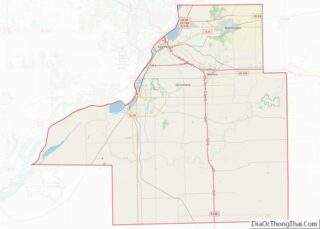
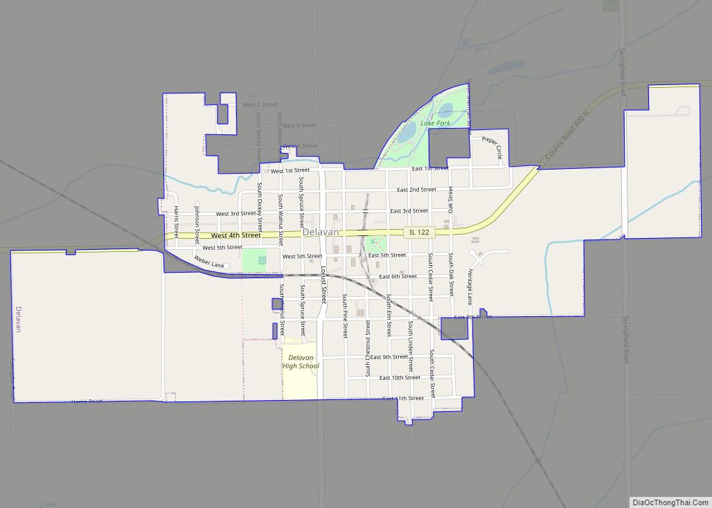
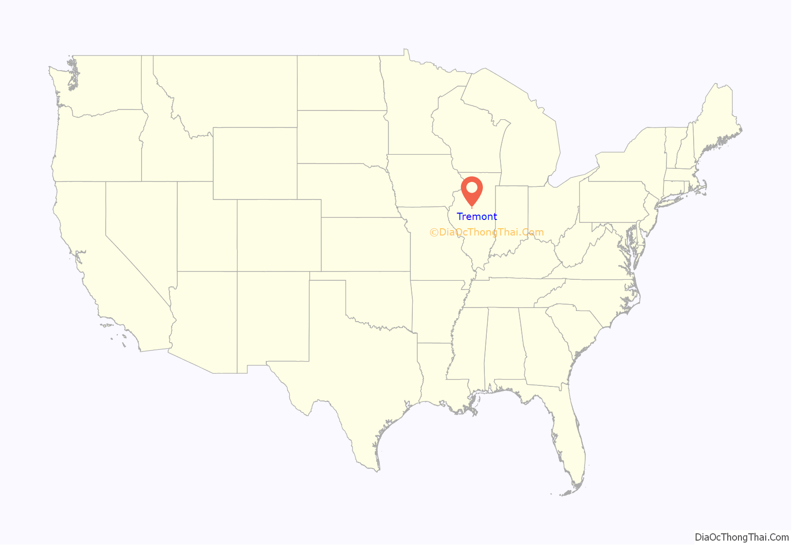
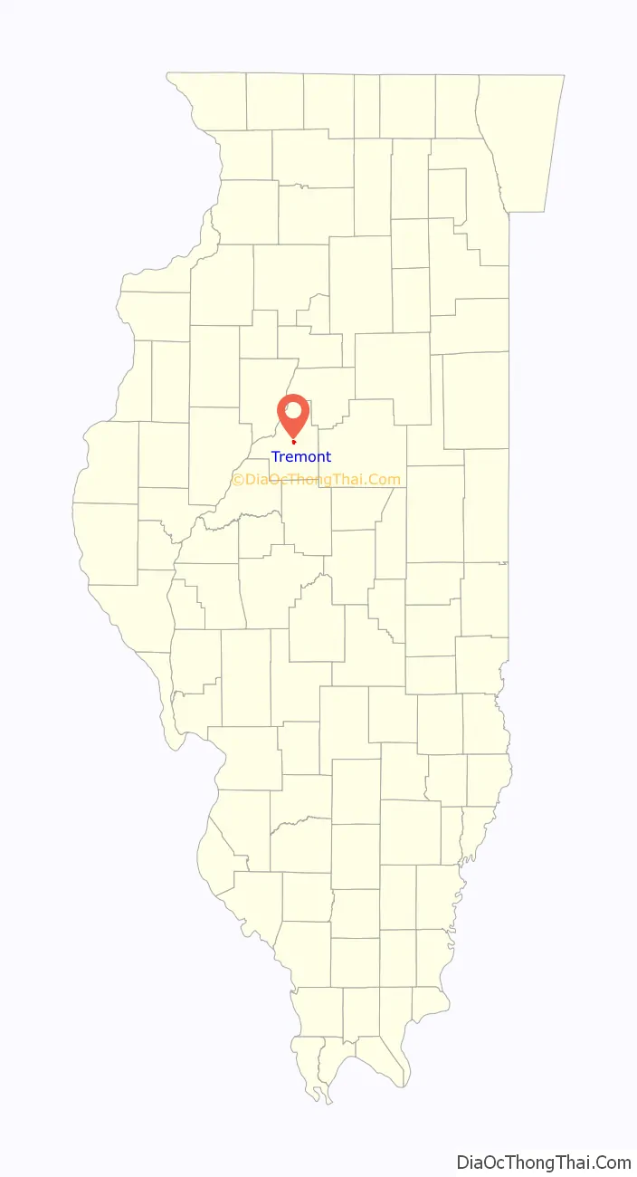
Tremont location map. Where is Tremont village?
History
Tremont was also host to Abraham Lincoln during his travels as a lawyer before his advancement into higher office. Lincoln visited the Tremont Courthouse in 1842; here, James Shields challenged him to a duel. Lincoln last spoke in Tremont on August 30, 1858. A marker now stands in commemoration of the courthouse.
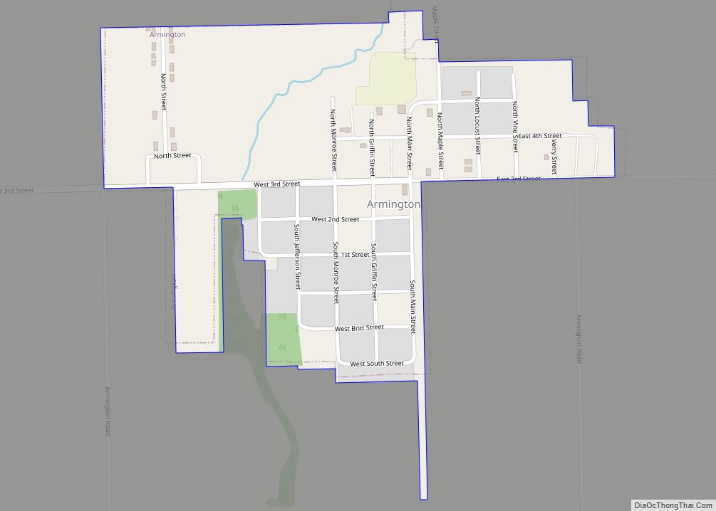
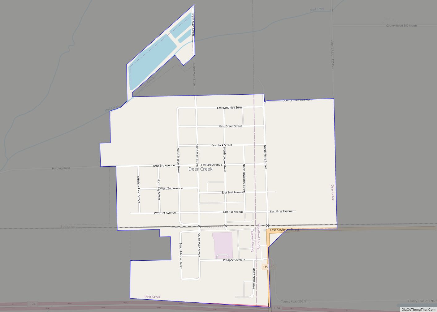
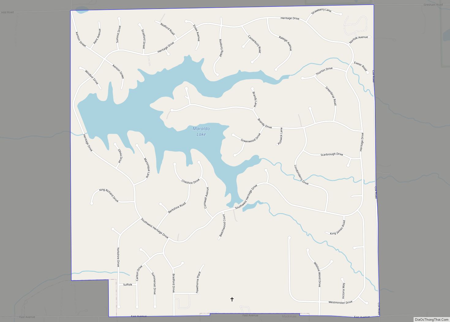
Tremont Road Map

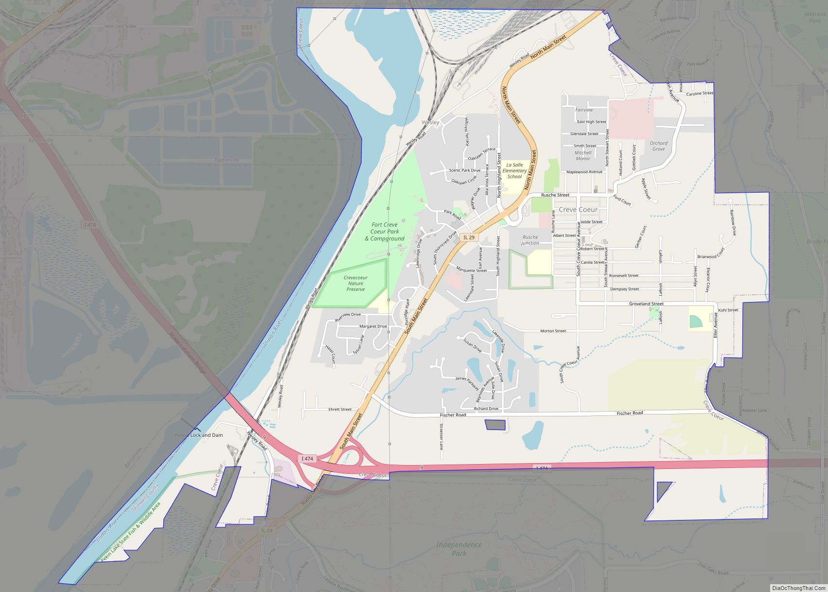
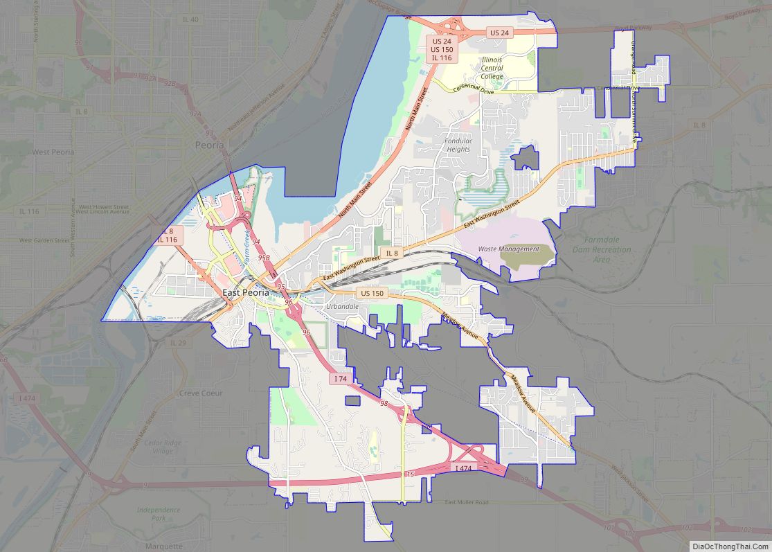
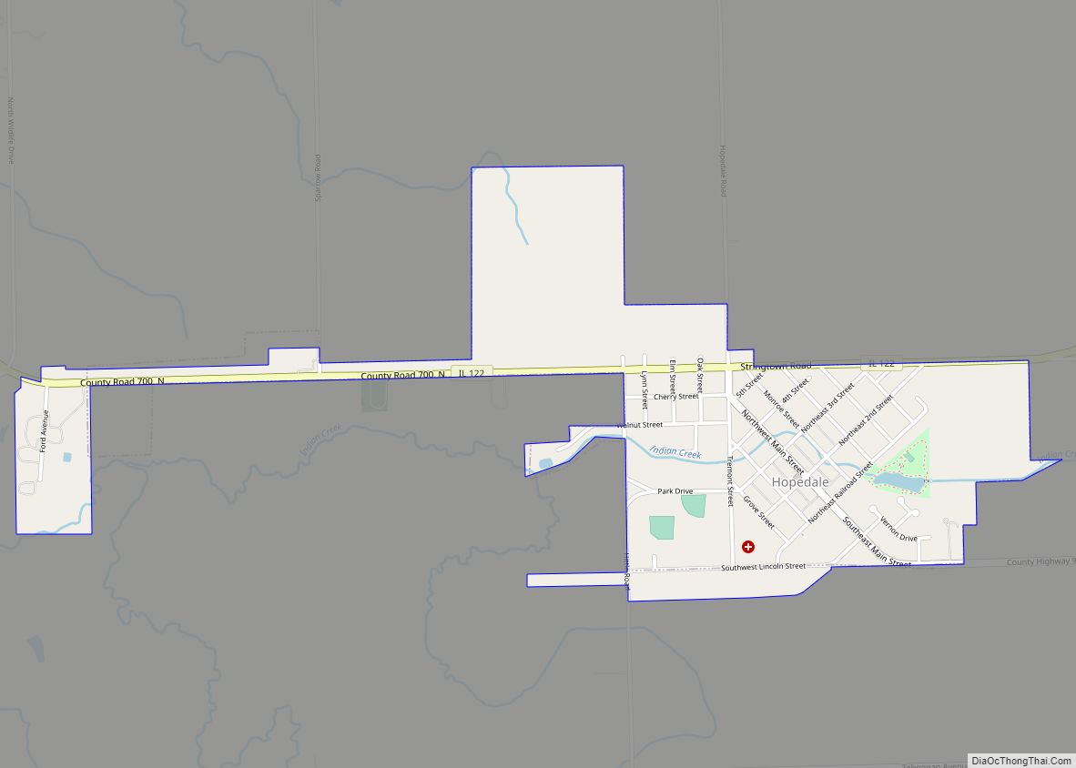
Tremont city Satellite Map
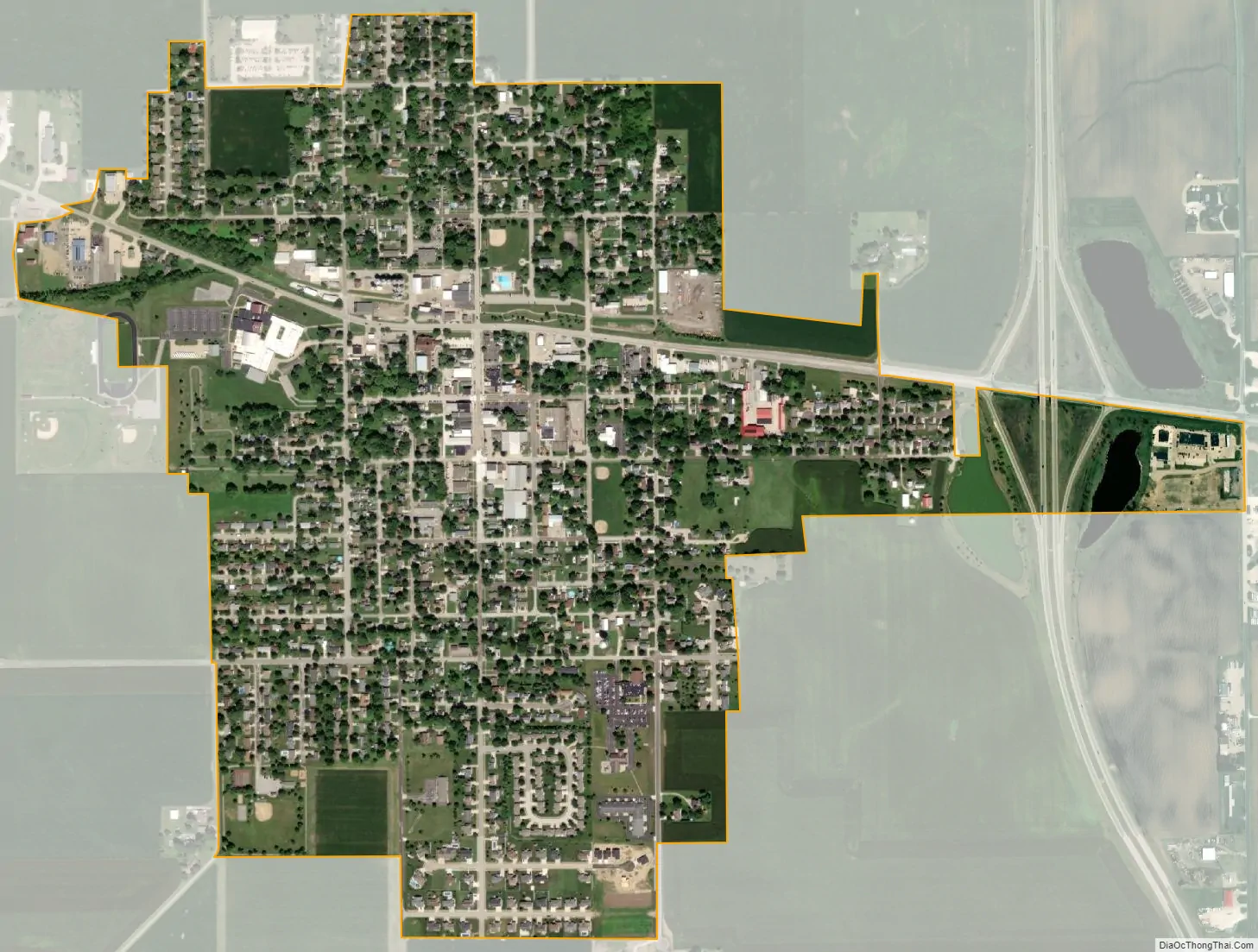
Geography
According to the 2010 census, Tremont has a total area of 0.94 square miles (2.43 km), all land. The city hosts the annual Tremont Turkey Festival. The headquarters of the Tazewell County Health Department are in Tremont.
See also
Map of Illinois State and its subdivision:- Adams
- Alexander
- Bond
- Boone
- Brown
- Bureau
- Calhoun
- Carroll
- Cass
- Champaign
- Christian
- Clark
- Clay
- Clinton
- Coles
- Cook
- Crawford
- Cumberland
- De Kalb
- De Witt
- Douglas
- Dupage
- Edgar
- Edwards
- Effingham
- Fayette
- Ford
- Franklin
- Fulton
- Gallatin
- Greene
- Grundy
- Hamilton
- Hancock
- Hardin
- Henderson
- Henry
- Iroquois
- Jackson
- Jasper
- Jefferson
- Jersey
- Jo Daviess
- Johnson
- Kane
- Kankakee
- Kendall
- Knox
- La Salle
- Lake
- Lake Michigan
- Lawrence
- Lee
- Livingston
- Logan
- Macon
- Macoupin
- Madison
- Marion
- Marshall
- Mason
- Massac
- McDonough
- McHenry
- McLean
- Menard
- Mercer
- Monroe
- Montgomery
- Morgan
- Moultrie
- Ogle
- Peoria
- Perry
- Piatt
- Pike
- Pope
- Pulaski
- Putnam
- Randolph
- Richland
- Rock Island
- Saint Clair
- Saline
- Sangamon
- Schuyler
- Scott
- Shelby
- Stark
- Stephenson
- Tazewell
- Union
- Vermilion
- Wabash
- Warren
- Washington
- Wayne
- White
- Whiteside
- Will
- Williamson
- Winnebago
- Woodford
- Alabama
- Alaska
- Arizona
- Arkansas
- California
- Colorado
- Connecticut
- Delaware
- District of Columbia
- Florida
- Georgia
- Hawaii
- Idaho
- Illinois
- Indiana
- Iowa
- Kansas
- Kentucky
- Louisiana
- Maine
- Maryland
- Massachusetts
- Michigan
- Minnesota
- Mississippi
- Missouri
- Montana
- Nebraska
- Nevada
- New Hampshire
- New Jersey
- New Mexico
- New York
- North Carolina
- North Dakota
- Ohio
- Oklahoma
- Oregon
- Pennsylvania
- Rhode Island
- South Carolina
- South Dakota
- Tennessee
- Texas
- Utah
- Vermont
- Virginia
- Washington
- West Virginia
- Wisconsin
- Wyoming