Vineyard is a city in Utah County, Utah, United States. It is part of the Provo–Orem Metropolitan Statistical Area. The population grew from 139 at the 2010 census to 12,543 at the 2020 census making it the fastest growing city in Utah and one of the fastest-growing cities in the nation during that timeframe. Population has grown dramatically since about 2012 due to redevelopment of the former Geneva Steel site which sits in Vineyard.
| Name: | Vineyard town |
|---|---|
| LSAD Code: | 43 |
| LSAD Description: | town (suffix) |
| State: | Utah |
| County: | Utah County |
| Incorporated: | May 11, 1989 |
| Elevation: | 4,557 ft (1,389 m) |
| Total Area: | 6.35 sq mi (16.45 km²) |
| Land Area: | 4.79 sq mi (12.42 km²) |
| Water Area: | 1.56 sq mi (4.03 km²) |
| Population Density: | 2,927.97/sq mi (1,129.22/km²) |
| ZIP code: | 84059 |
| Area code: | 385 and 801 |
| FIPS code: | 4980420 |
| GNISfeature ID: | 1449150 |
| Website: | www.vineyard.utah.gov |
Online Interactive Map
Click on ![]() to view map in "full screen" mode.
to view map in "full screen" mode.
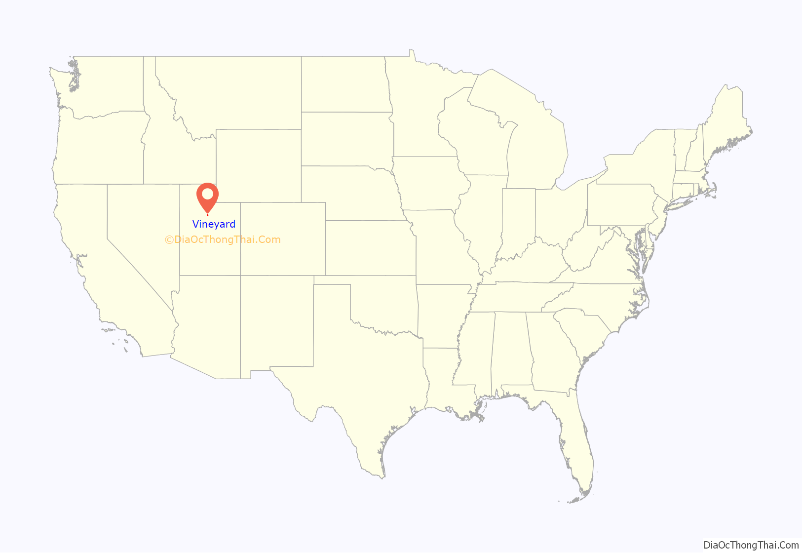
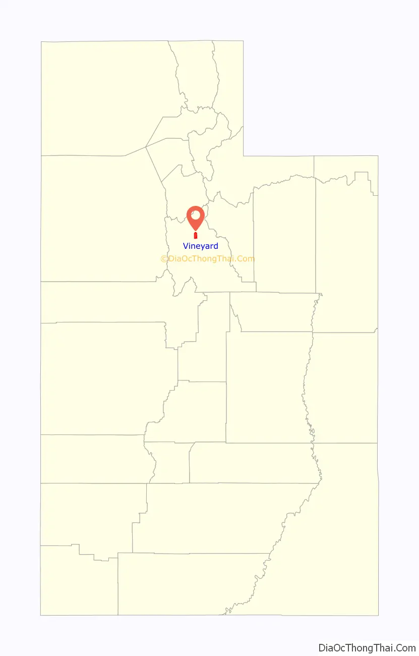
Vineyard location map. Where is Vineyard town?
History
The community was named for grape vineyards near the original town site. According to some town residents, Vineyard first became a distinct place in 1899. The town incorporated in 1989. Vineyard was certified as a city of the 5th class (1,000 – 10,000 residents) during the summer of 2016. Prior to 2016, Vineyard was classified as a town.
Population has grown dramatically since about 2012 due to redevelopment of the former Geneva Steel site which sits in Vineyard. In 2014 Utah Valley University purchased 125 acres of the Geneva Steel site in order to expand to a new “West” Campus.
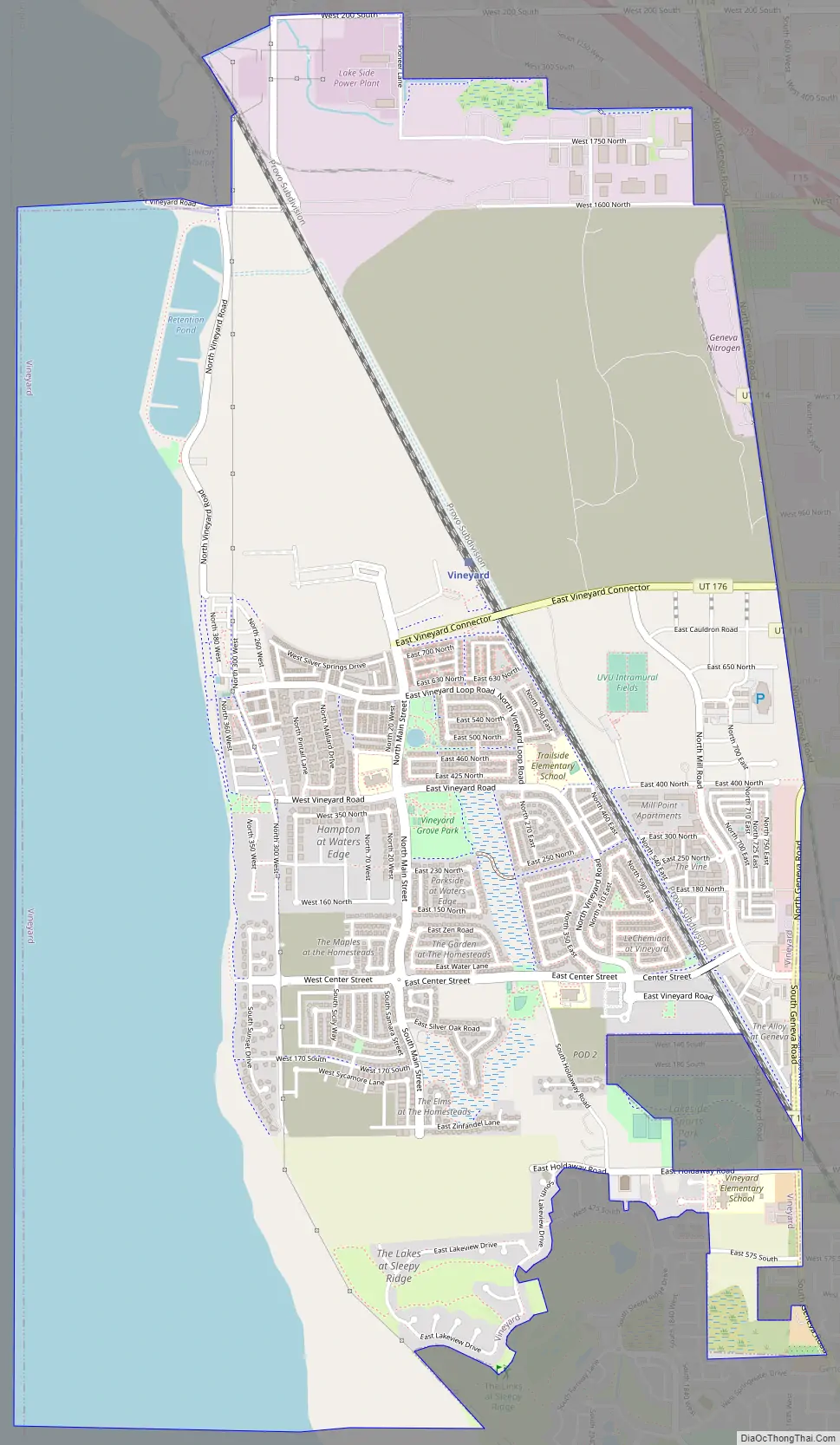
Vineyard Road Map
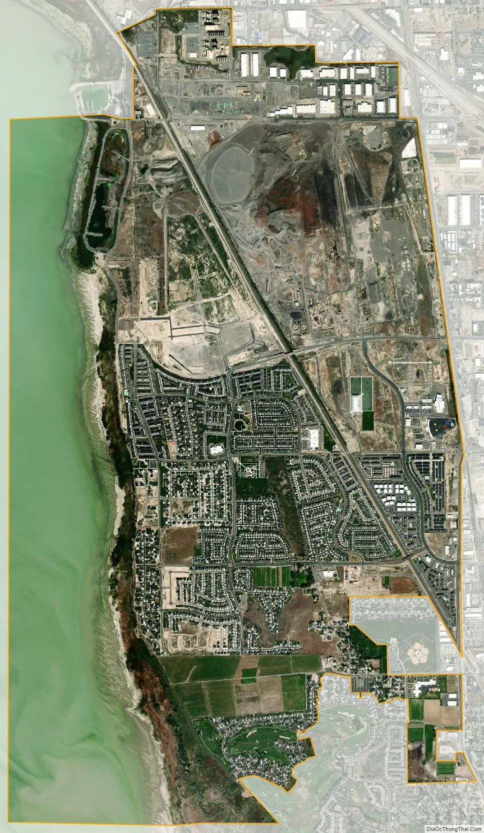
Vineyard city Satellite Map
Geography
According to the United States Census Bureau, the town has a total area of 6.4 square miles (16.5 km), of which 4.4 square miles (11.3 km) is land and 2.0 square miles (5.2 km), or 31.53%, is water.
See also
Map of Utah State and its subdivision: Map of other states:- Alabama
- Alaska
- Arizona
- Arkansas
- California
- Colorado
- Connecticut
- Delaware
- District of Columbia
- Florida
- Georgia
- Hawaii
- Idaho
- Illinois
- Indiana
- Iowa
- Kansas
- Kentucky
- Louisiana
- Maine
- Maryland
- Massachusetts
- Michigan
- Minnesota
- Mississippi
- Missouri
- Montana
- Nebraska
- Nevada
- New Hampshire
- New Jersey
- New Mexico
- New York
- North Carolina
- North Dakota
- Ohio
- Oklahoma
- Oregon
- Pennsylvania
- Rhode Island
- South Carolina
- South Dakota
- Tennessee
- Texas
- Utah
- Vermont
- Virginia
- Washington
- West Virginia
- Wisconsin
- Wyoming


