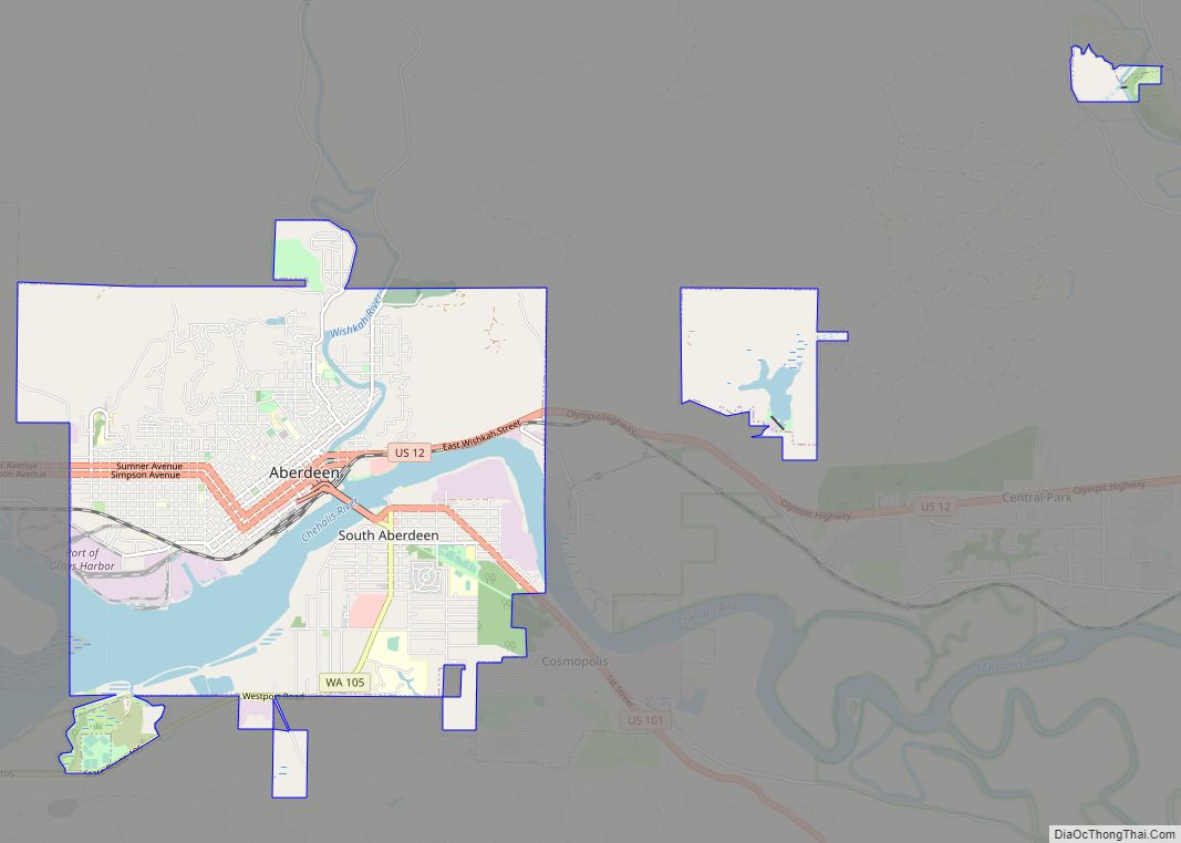
Hoquiam (/ˈhoʊkwiəm/ HOH-kwee-əm) is a city in Grays Harbor County, Washington, United States. It borders the city of Aberdeen at Myrtle Street, with Hoquiam to the west. The two cities share a common economic history in lumbering and exporting, but Hoquiam has maintained its independent identity. It shares a long rivalry with its more populated neighbor, especially in high school sports.
Hoquiam (Ho’-kwee-um, or Ho-kwim, to natives) was incorporated on May 21, 1890. Its name comes from a Native-American word meaning “hungry for wood”, from the great amount of driftwood at the mouth of the Hoquiam River. The population was 8,776 at the 2020 census.
| Name: | Hoquiam city |
|---|---|
| LSAD Code: | 25 |
| LSAD Description: | city (suffix) |
| State: | Washington |
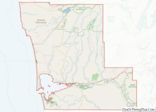
| County: | Grays Harbor County |
| Elevation: | 20 ft (6 m) |
| Land Area: | 9.54 sq mi (24.72 km²) |
| Water Area: | 6.88 sq mi (17.82 km²) |
| Population Density: | 906.85/sq mi (350.15/km²) |
| ZIP code: | 98550 |
| Area code: | 360 |
| FIPS code: | 5332300 |
| GNISfeature ID: | 1512309 |
| Website: | cityofhoquiam.com |
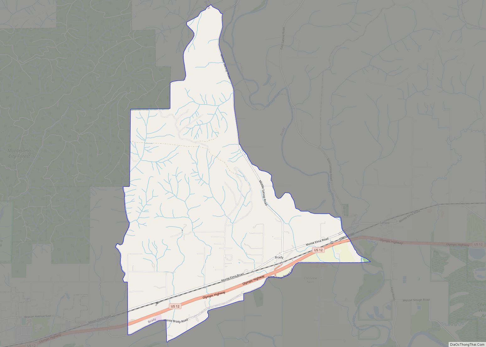
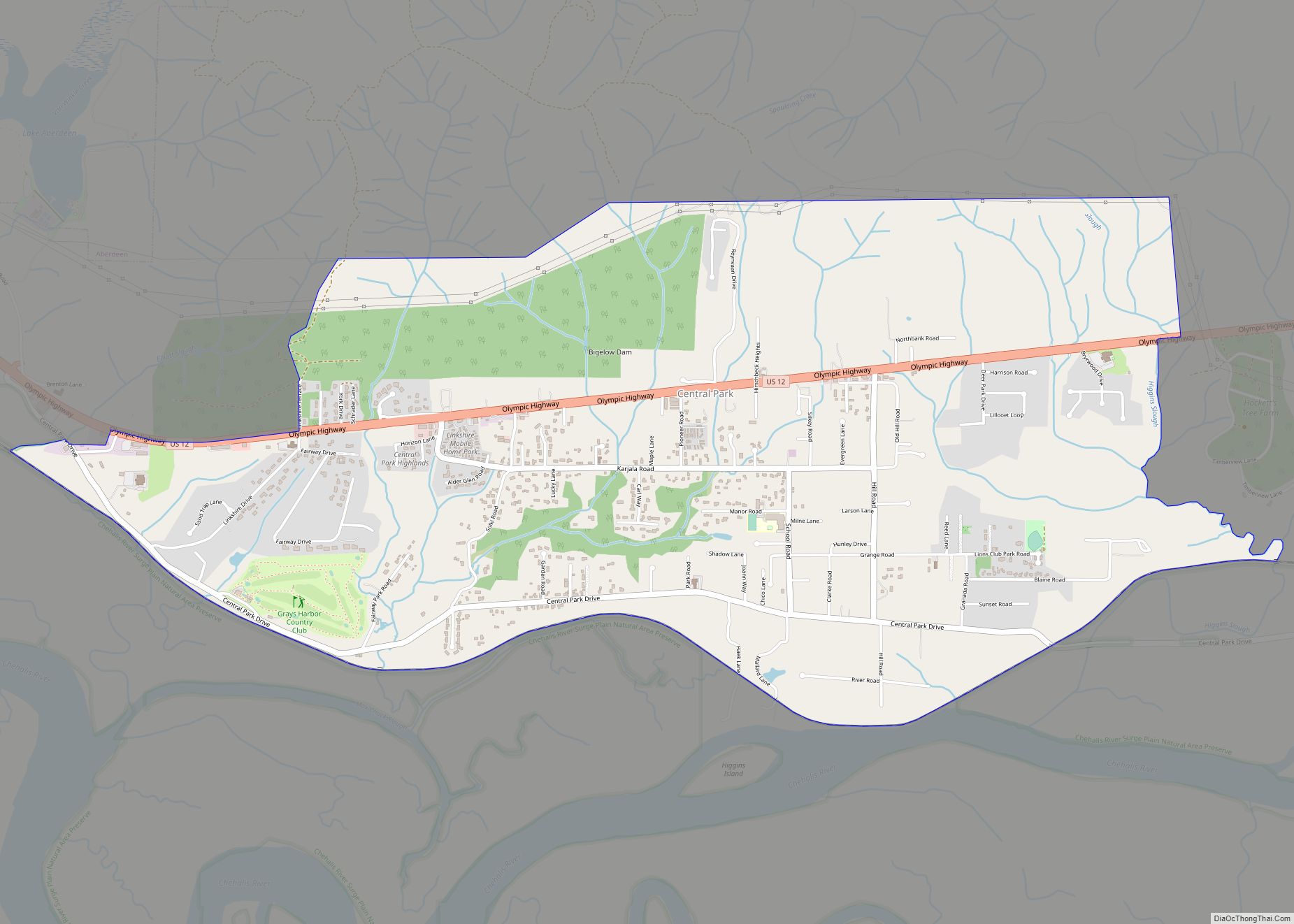
Online Interactive Map
Click on ![]() to view map in "full screen" mode.
to view map in "full screen" mode.
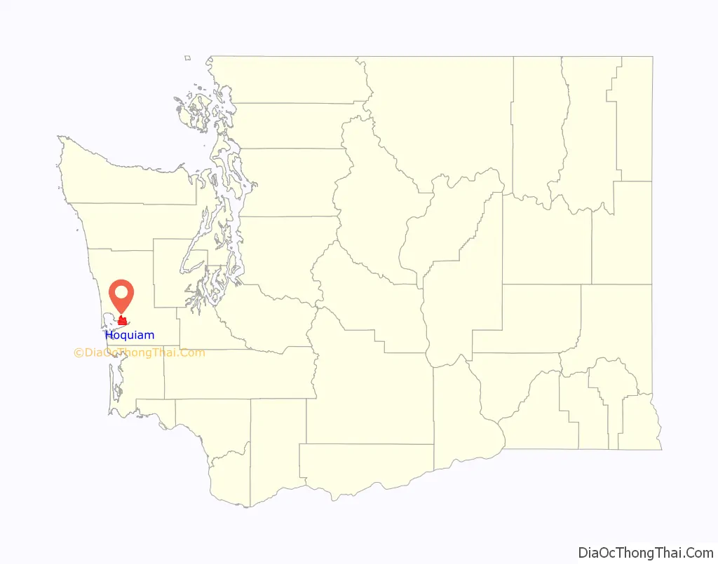
Hoquiam location map. Where is Hoquiam city?

History
One of the first logging operations in Hoquiam was established by Ed Campbell in 1872.
About 10 years later, Captain Asa M. Simpson, a Pacific Coast mariner and businessman in the lumber industry from San Francisco, provided the financing for the Northwestern Mill. In 1881, Simpson sent his manager, George Emerson, to Hoquiam to establish a mill there, and Emerson purchased 300 acres for the new mill and lumber operation. By September 1882, the Simpson mill was producing its first lumber products.
In 1886, Captain Simpson merged his mill with the Miller Brothers mill, also located in Hoquiam, and named it the Northwest Lumber Company The mill was later renamed the Simpson Lumber Company, and retained that name until 1906. In 1913, Frank J. Shields became the new manager at the mill at Hoquiam.
The extension of the railroad from Aberdeen to Hoquiam, beginning in 1898, contributed to the continued importance of logging and lumber in Hoquiam. The importance of logging and related products continued to be relevant to Hoquiam’s economy, and in 1927, a pulp mill was established under the name of Grays Harbor Pulp Company. A year later, a Pennsylvania company- the Hammermill Paper Company- became interested in Grays Harbor Pulp Company. When the Pennsylvania company bought stock in the Grays Harbor Pulp Company, the Grays Harbor pulp Company built a paper mill and became the Grays Harbor Pulp & Paper Company. In 1936, the Grays Harbor Pulp and Paper Company merged with Rayonier Incorporated, a company which manufactured a certain kind of wood pulp used by its customers to produce rayon.
In 1907, Hoquiam was home to Industrial Workers of the World Industrial Union No. 276.
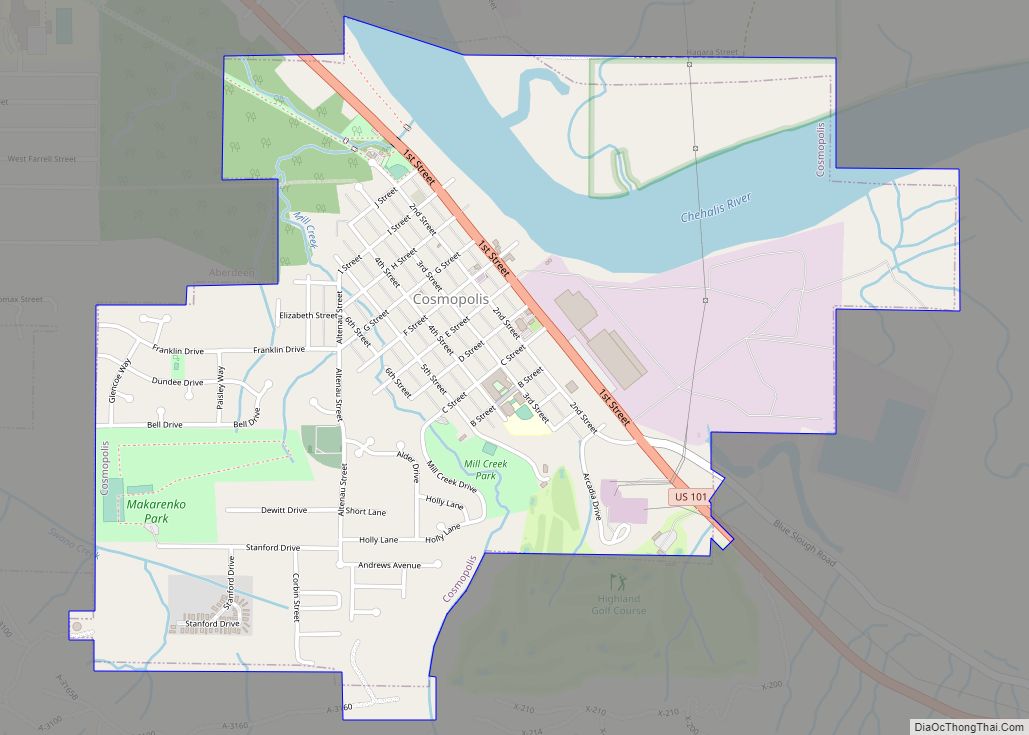
Hoquiam Road Map
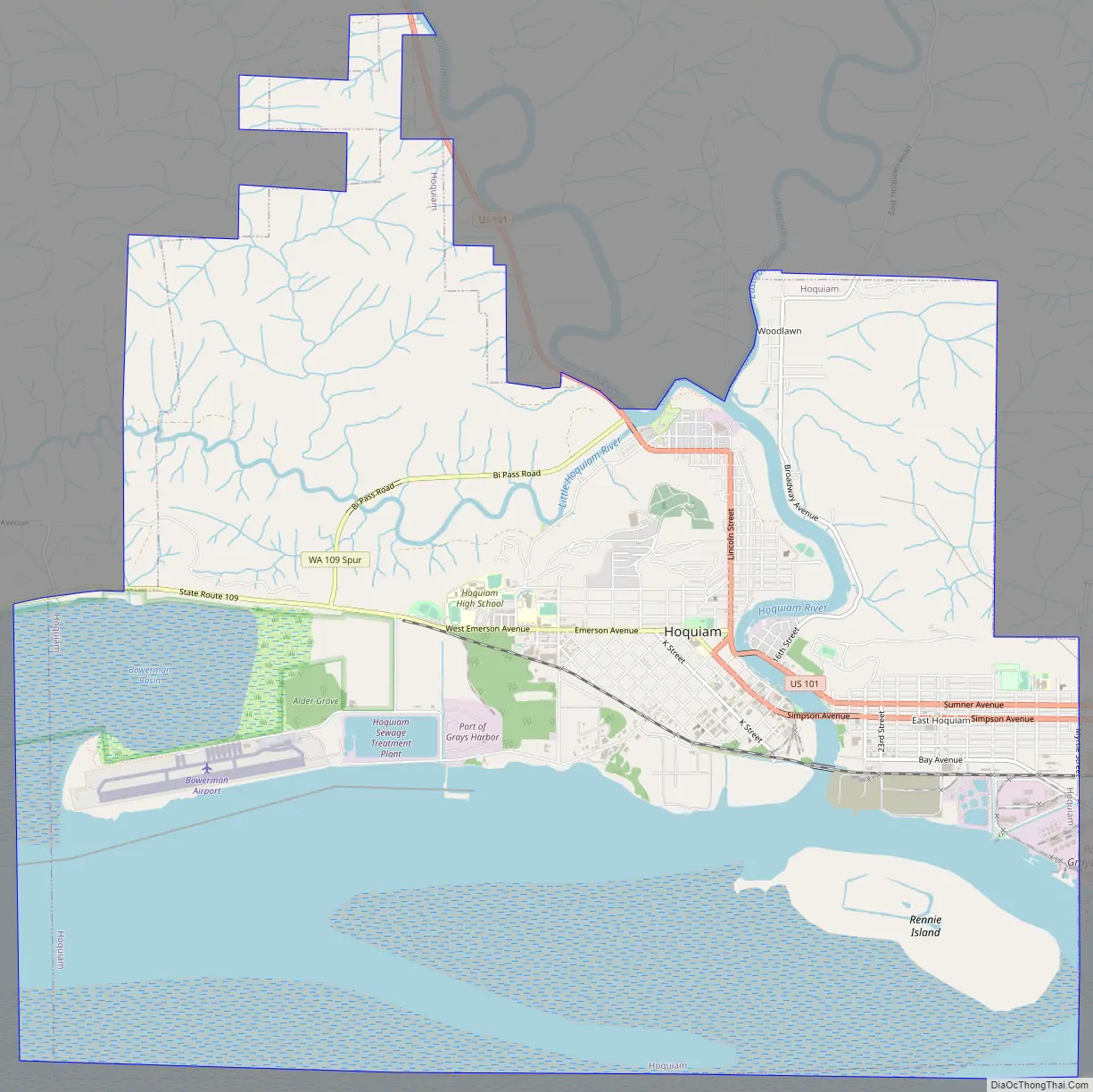
Hoquiam city Satellite Map

Geography
According to the U.S. Census Bureau, the city has a total area of 15.60 square miles (40.40 km), of which, 9.02 square miles (23.36 km) is land and 6.58 square miles (17.04 km) is water.
Climate
Hoquiam experiences a Mediterranean climate (Köppen climate classification Csb) that borders closely on an oceanic climate. Outside of the mild and dry summer season, rainfall is generally very high and monthly totals of over 20 inches (510 mm) are not unknown. Snowfall is rare and indeed does not fall many years, however in the winter of 1964/1965 as much as 40.8 inches (1.0 m) of snow fell in two storms.
See also
Map of Washington State and its subdivision:- Adams
- Asotin
- Benton
- Chelan
- Clallam
- Clark
- Columbia
- Cowlitz
- Douglas
- Ferry
- Franklin
- Garfield
- Grant
- Grays Harbor
- Island
- Jefferson
- King
- Kitsap
- Kittitas
- Klickitat
- Lewis
- Lincoln
- Mason
- Okanogan
- Pacific
- Pend Oreille
- Pierce
- San Juan
- Skagit
- Skamania
- Snohomish
- Spokane
- Stevens
- Thurston
- Wahkiakum
- Walla Walla
- Whatcom
- Whitman
- Yakima
- Alabama
- Alaska
- Arizona
- Arkansas
- California
- Colorado
- Connecticut
- Delaware
- District of Columbia
- Florida
- Georgia
- Hawaii
- Idaho
- Illinois
- Indiana
- Iowa
- Kansas
- Kentucky
- Louisiana
- Maine
- Maryland
- Massachusetts
- Michigan
- Minnesota
- Mississippi
- Missouri
- Montana
- Nebraska
- Nevada
- New Hampshire
- New Jersey
- New Mexico
- New York
- North Carolina
- North Dakota
- Ohio
- Oklahoma
- Oregon
- Pennsylvania
- Rhode Island
- South Carolina
- South Dakota
- Tennessee
- Texas
- Utah
- Vermont
- Virginia
- Washington
- West Virginia
- Wisconsin
- Wyoming