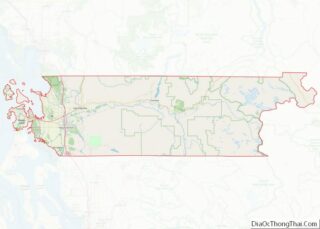
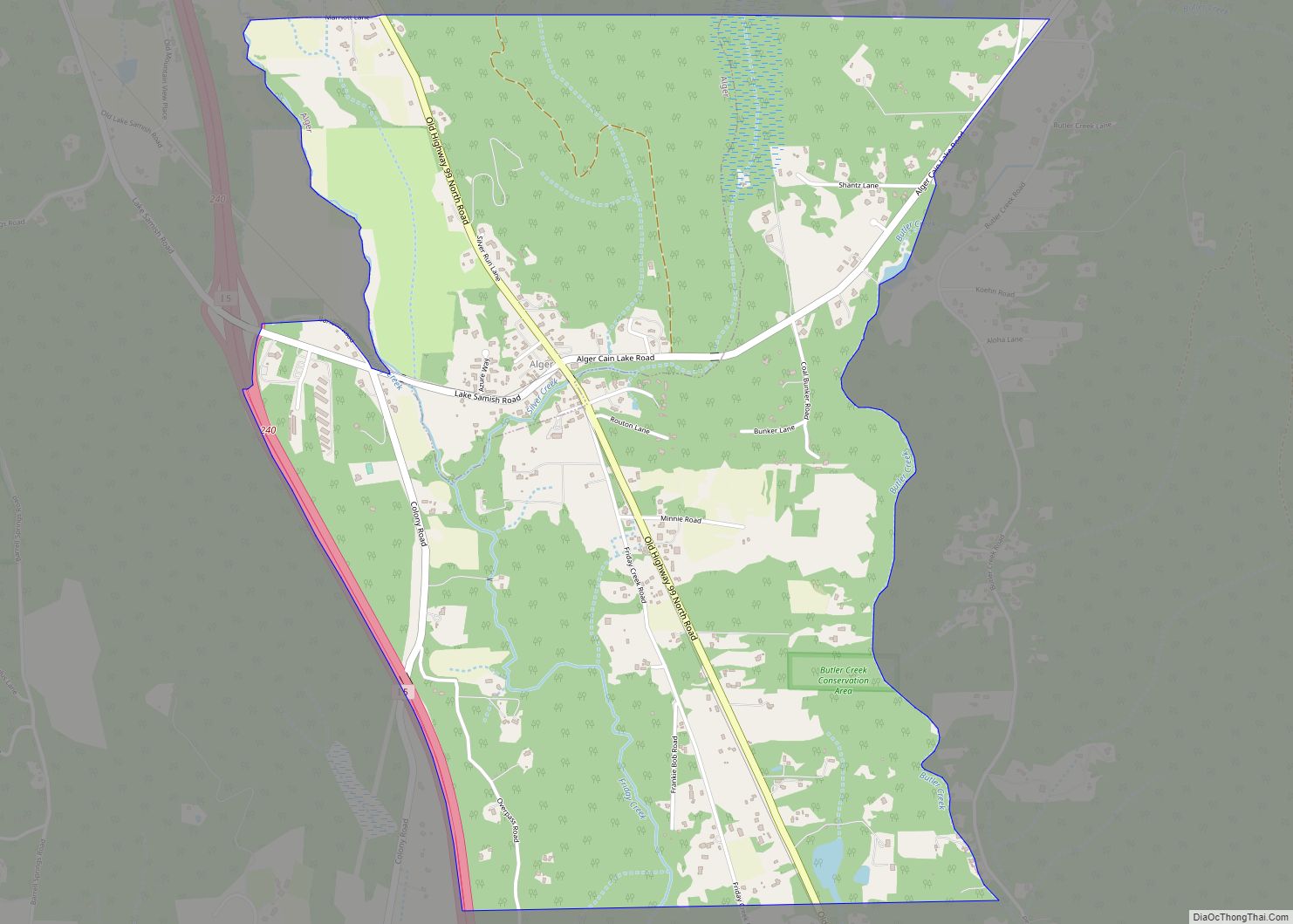
Alger is a census-designated place (CDP) in Skagit County, Washington, United States. The population was 403 at the 2010 census. It is included in the Mount Vernon–Anacortes, Washington Metropolitan Statistical Area.
Alger is located along Old Highway 99 North Road. It is near the midway point of the route between Seattle and Vancouver, 76 miles from the former and 66 miles from the latter. A former logging camp, Alger is now a working-class exurban community and home to the Skagit Speedway. The nearby Skagit Speedway has been operating for 50 years and attracting racers from all over the Northwest and West; Kasey Kahne raced there before becoming a NASCAR Sprint Cup driver. It is a 1/3 mile banked oval track built of silica and clay, and the faster classes of sprint cars achieve lap averages of almost 100 mph. Races are typically held on Saturday nights under floodlights, and camping is available for racers and spectators in the Speedway’s grounds.
| Name: | Alger CDP |
|---|---|
| LSAD Code: | 57 |
| LSAD Description: | CDP (suffix) |
| State: | Washington |
| County: | Skagit County |
| Elevation: | 269 ft (82 m) |
| Total Area: | 1.8 sq mi (4.7 km²) |
| Land Area: | 1.8 sq mi (4.6 km²) |
| Water Area: | 0.0 sq mi (0.0 km²) |
| Total Population: | 403 |
| Population Density: | 49.7/sq mi (19.2/km²) |
| ZIP code: | 98229 |
| Area code: | 360 |
| FIPS code: | 5301255 |
| GNISfeature ID: | 1510777 |
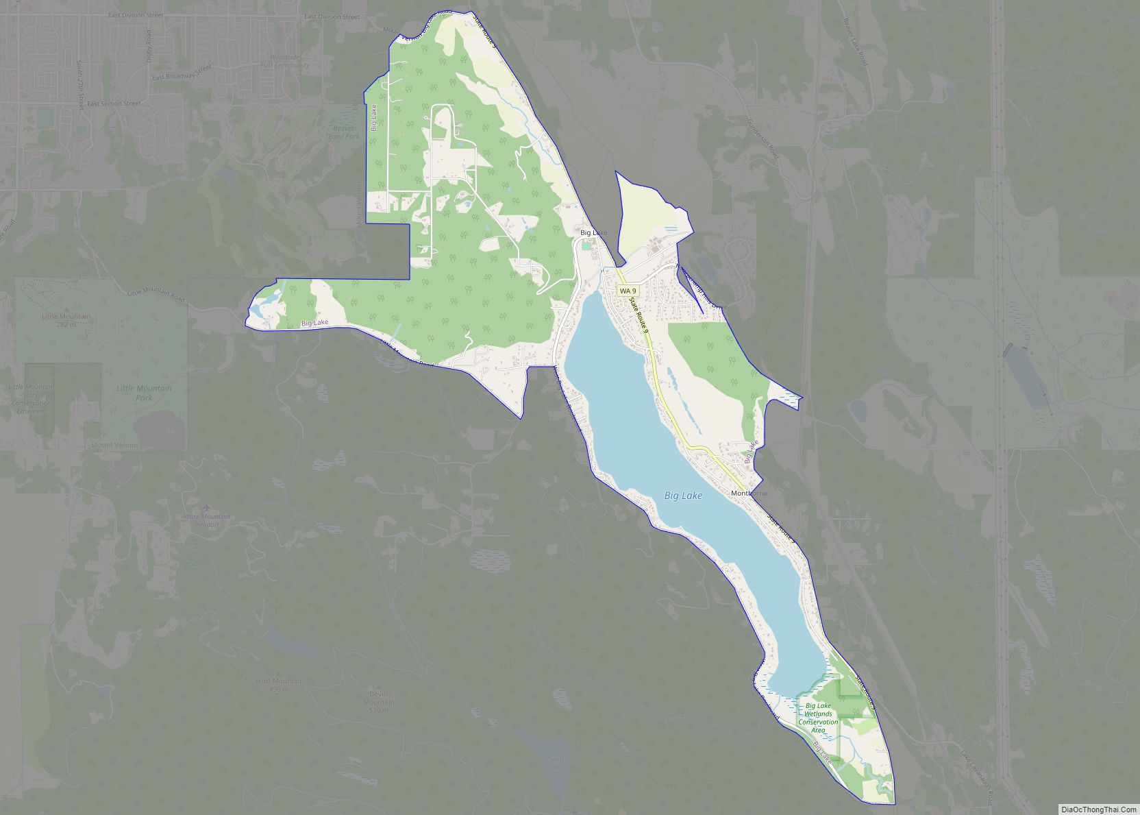
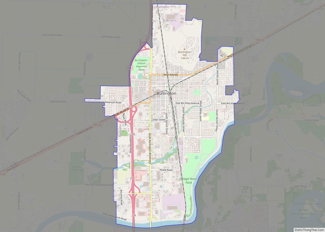
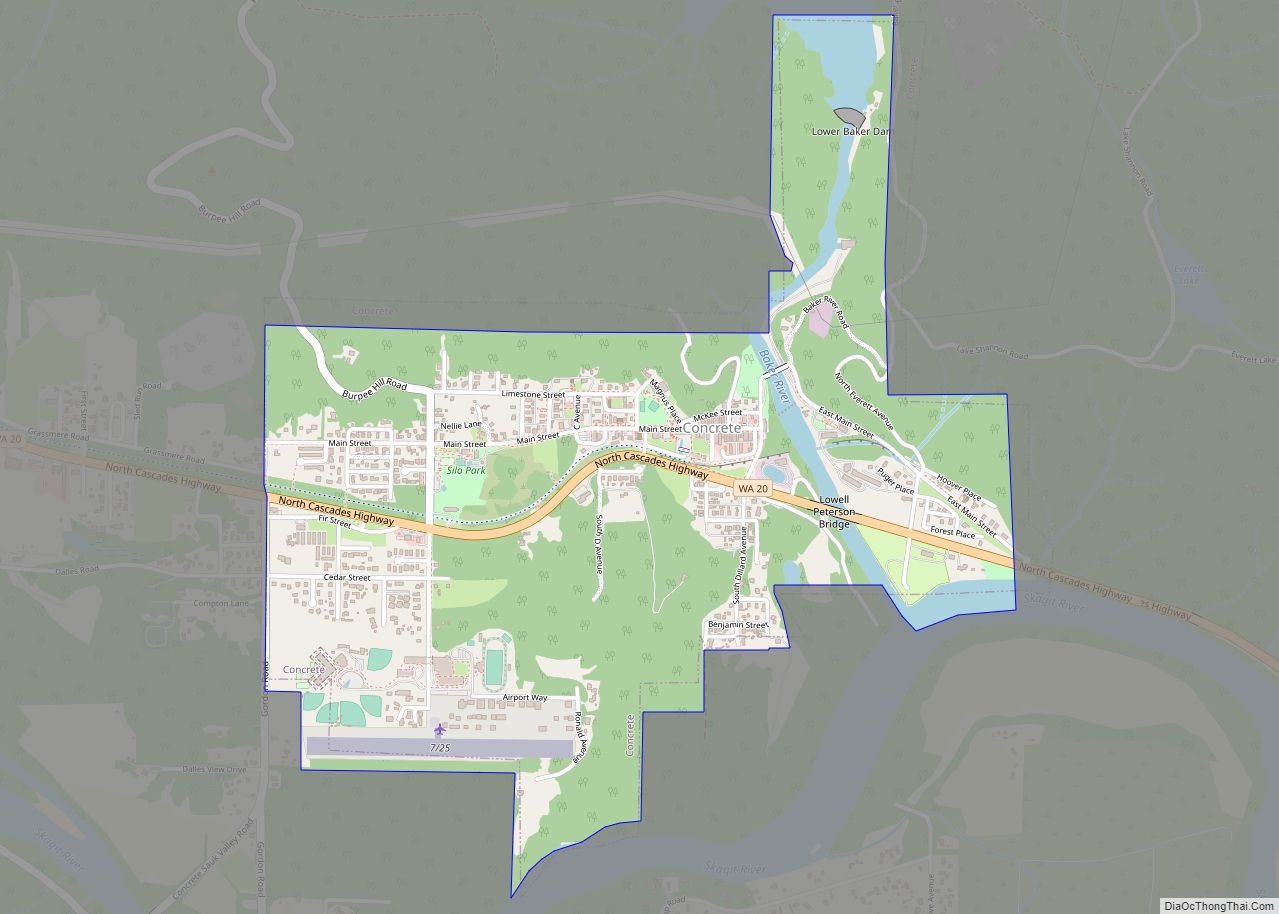
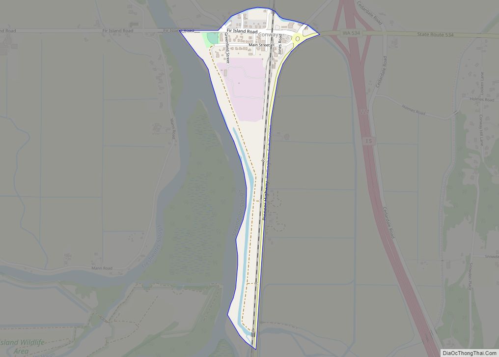
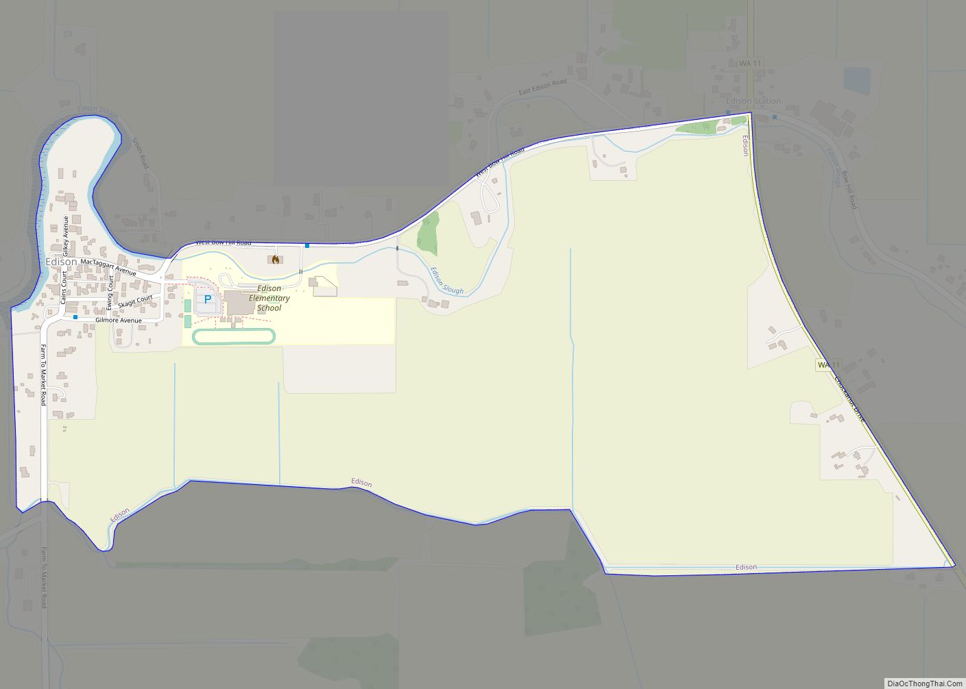
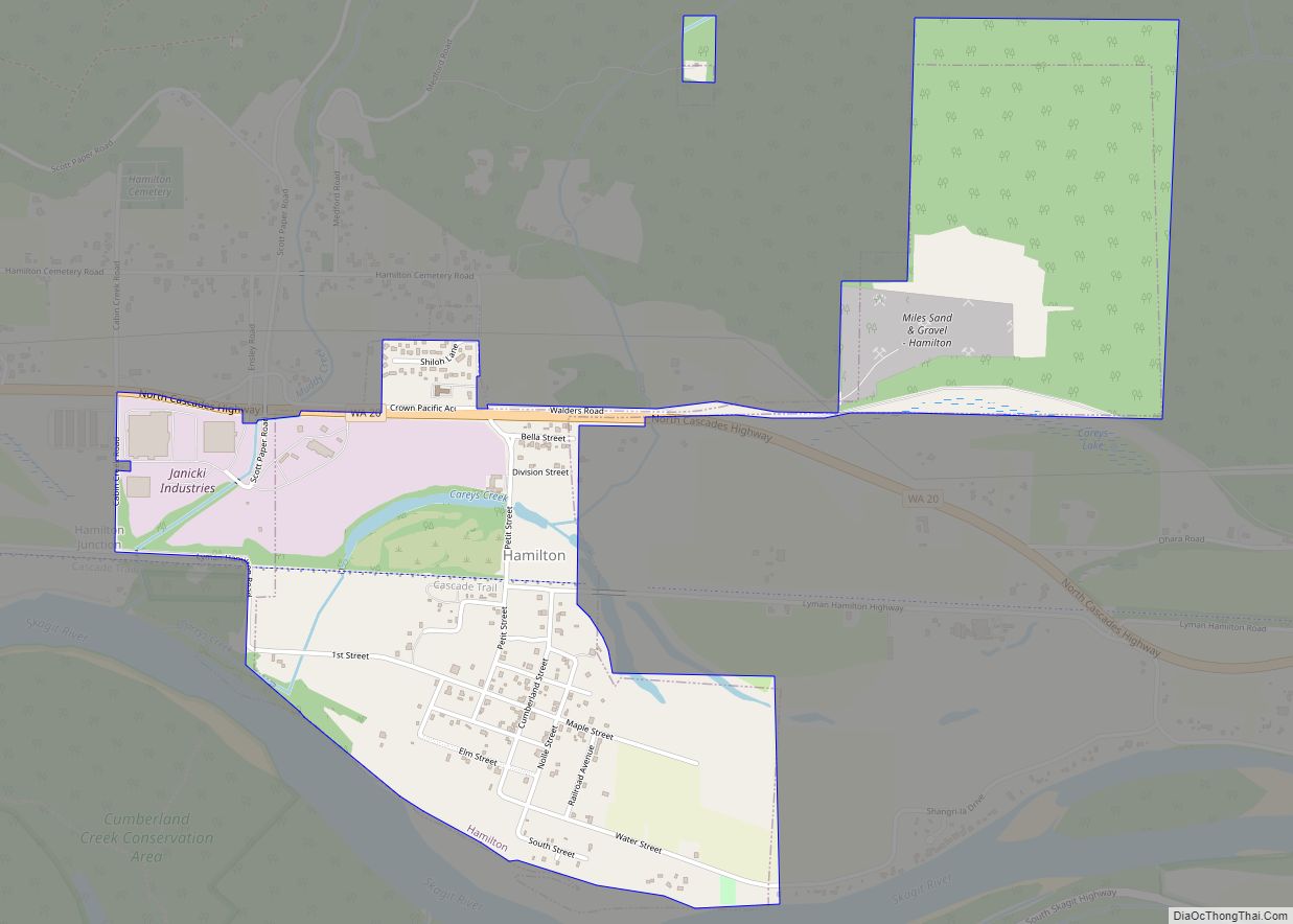
Online Interactive Map
Click on ![]() to view map in "full screen" mode.
to view map in "full screen" mode.
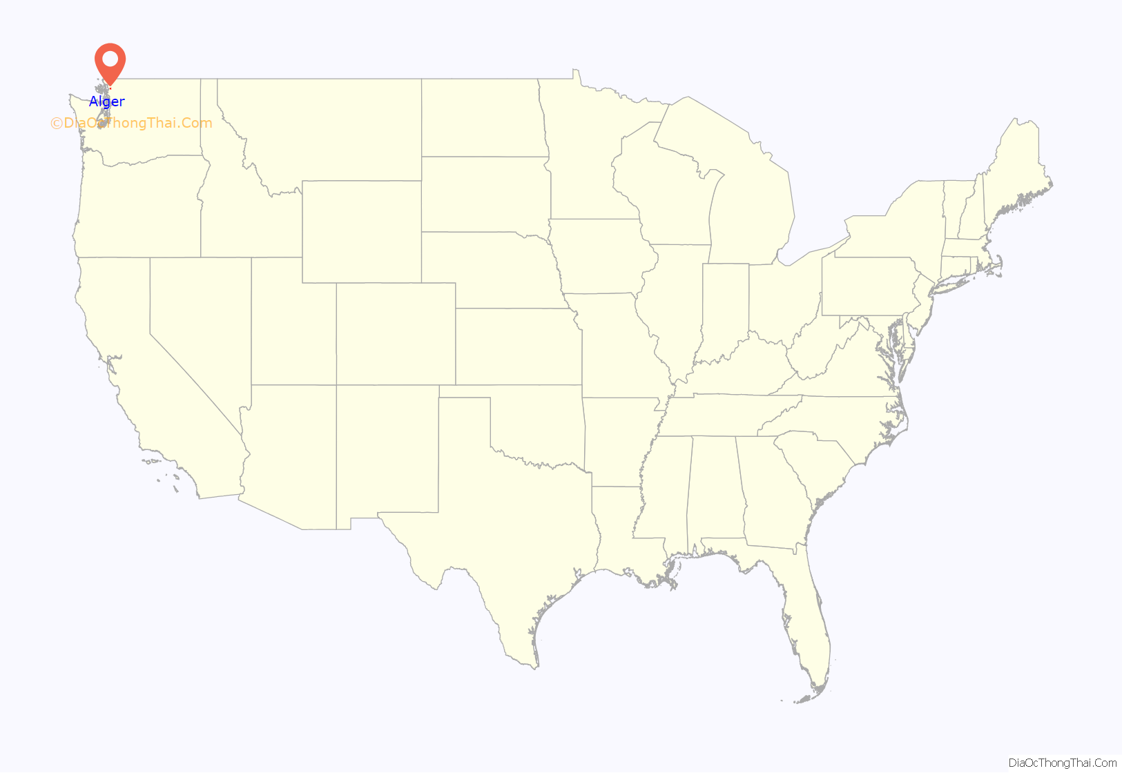
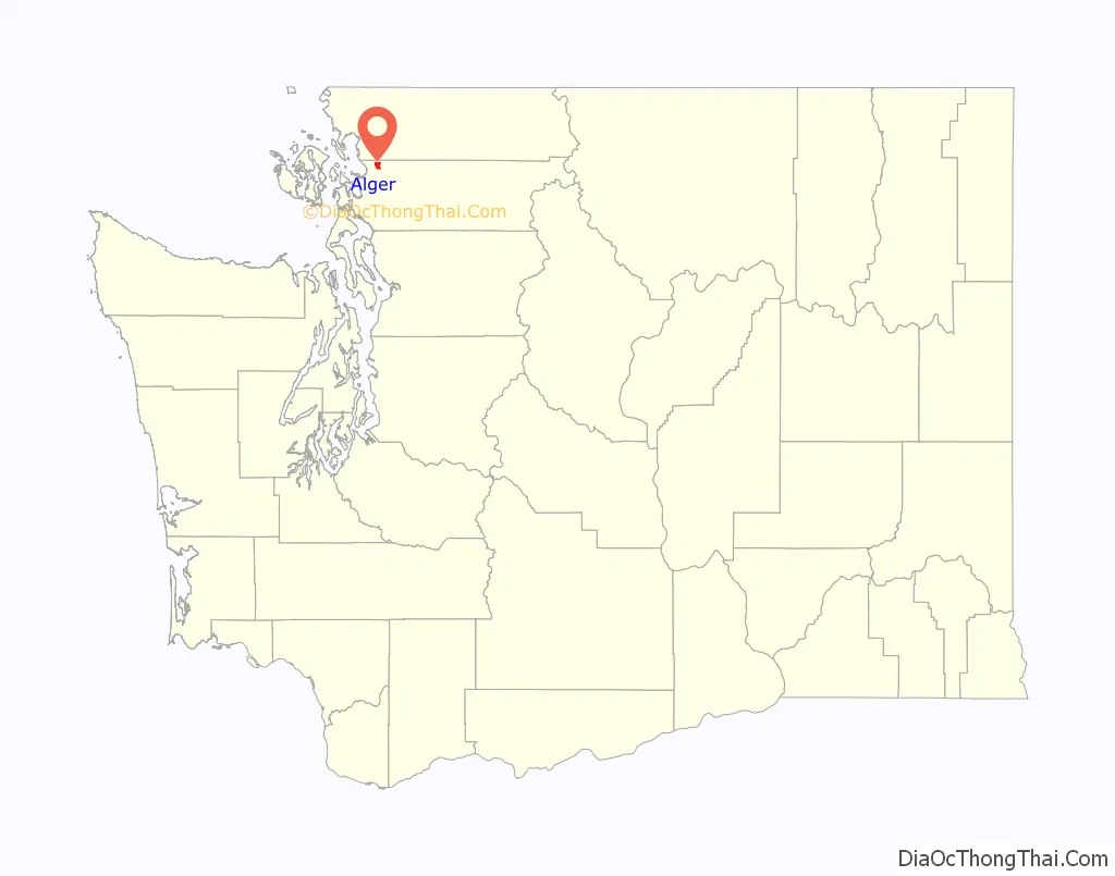
Alger location map. Where is Alger CDP?
History
Alger was first settled by Frederick G. Abbey in 1884.
On September 2, 2008, Alger was the starting point of Isaac Zamora’s shooting rampage that extended down to Mount Vernon.
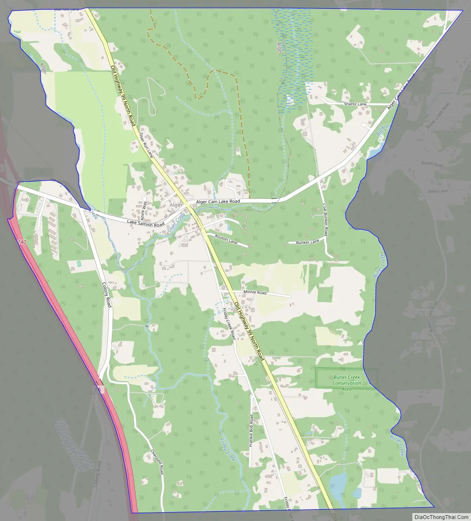
Alger Road Map
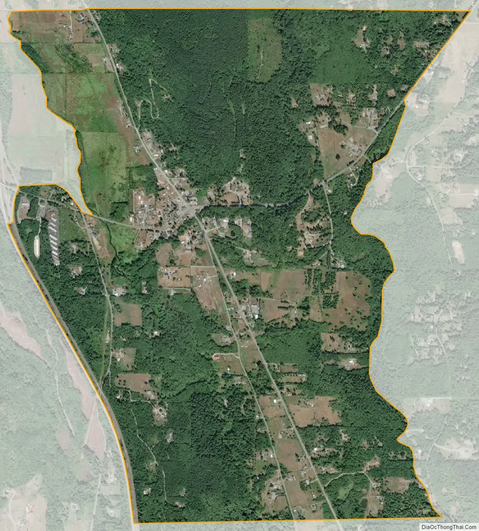
Alger city Satellite Map
Geography
According to the United States Census Bureau, the CDP has a total area of 1.8 square miles (4.7 km), of which, 1.8 square miles (4.6 km) of it is land and 0.56% is water.
See also
Map of Washington State and its subdivision:- Adams
- Asotin
- Benton
- Chelan
- Clallam
- Clark
- Columbia
- Cowlitz
- Douglas
- Ferry
- Franklin
- Garfield
- Grant
- Grays Harbor
- Island
- Jefferson
- King
- Kitsap
- Kittitas
- Klickitat
- Lewis
- Lincoln
- Mason
- Okanogan
- Pacific
- Pend Oreille
- Pierce
- San Juan
- Skagit
- Skamania
- Snohomish
- Spokane
- Stevens
- Thurston
- Wahkiakum
- Walla Walla
- Whatcom
- Whitman
- Yakima
- Alabama
- Alaska
- Arizona
- Arkansas
- California
- Colorado
- Connecticut
- Delaware
- District of Columbia
- Florida
- Georgia
- Hawaii
- Idaho
- Illinois
- Indiana
- Iowa
- Kansas
- Kentucky
- Louisiana
- Maine
- Maryland
- Massachusetts
- Michigan
- Minnesota
- Mississippi
- Missouri
- Montana
- Nebraska
- Nevada
- New Hampshire
- New Jersey
- New Mexico
- New York
- North Carolina
- North Dakota
- Ohio
- Oklahoma
- Oregon
- Pennsylvania
- Rhode Island
- South Carolina
- South Dakota
- Tennessee
- Texas
- Utah
- Vermont
- Virginia
- Washington
- West Virginia
- Wisconsin
- Wyoming