Baring is an unincorporated community and census-designated place (CDP) in King County, Washington, United States. The population was 220 at the 2010 United States Census. It is located on U.S. Highway 2 about 23 miles (37 km) west of Stevens Pass, along a very flat and straight three-mile section of highway that has been dubbed the “Baring Straight” (a play on the Bering Strait between Alaska and Russia), since US-2 is otherwise hilly and curvy through the mountains. The settlement was first known as “Salmon”, but by 1909 it was known as Baring.
| Name: | Baring CDP |
|---|---|
| LSAD Code: | 57 |
| LSAD Description: | CDP (suffix) |
| State: | Washington |
| County: | King County |
| Elevation: | 774 ft (236 m) |
| Total Area: | 1.13 sq mi (2.93 km²) |
| Land Area: | 1.04 sq mi (2.70 km²) |
| Water Area: | 0.09 sq mi (0.24 km²) |
| Total Population: | 220 |
| Population Density: | 211/sq mi (81.6/km²) |
| ZIP code: | 98224 |
| Area code: | 360 |
| FIPS code: | 5304300 |
| GNISfeature ID: | 1516134 |
Online Interactive Map
Click on ![]() to view map in "full screen" mode.
to view map in "full screen" mode.
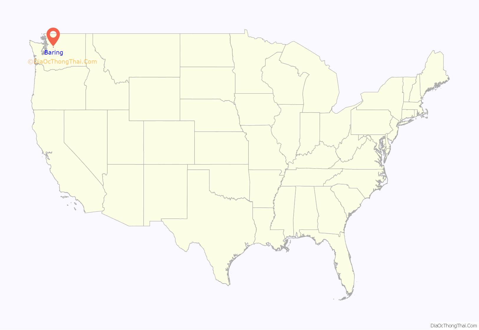
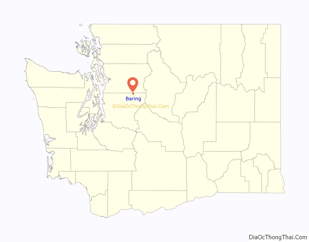
Baring location map. Where is Baring CDP?
History
The towns in the Skykomish River valley were established based on the railway and the roads built to cross the Cascade Mountains at Stevens Pass. In the late 19th century during the expansion of the Great Northern Railway, the railway’s chief locating engineer, John F. Stevens, surveyed the area and identified Stevens Pass as the ideal route for crossing the North Cascades. The first train passed through in June 1893. Early road development in the area included the Skykomish Tote Road, connecting towns along the rail line, which can be seen in photographs and maps from the late 19th and early 20th centuries.
In 1912, local citizens established a Good Roads Club to promote the construction of a cross-Cascades highway. By 1913, King, Chelan, and Snohomish counties collaborated on the Cascade Scenic Highway project (King County Road No. 999), which was surveyed the same year. However, completion of the highway was delayed due to World War I, funding, and construction obstacles. King County finished its 28-mile section by 1917, but the first automobiles did not cross until 1924, with the official opening taking place in July 1925.
The Cascade Scenic Highway and Stevens Pass Highway (now US 2) played a key role in the region’s development by improving access and connectivity. The Stevens Pass Highway became State Road 15 in the 1930s, and was later realigned, paved, and renamed multiple times before ultimately becoming US 2 in the late 1940s.
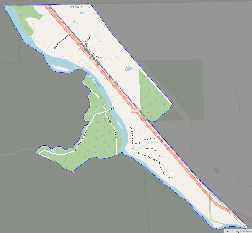
Baring Road Map
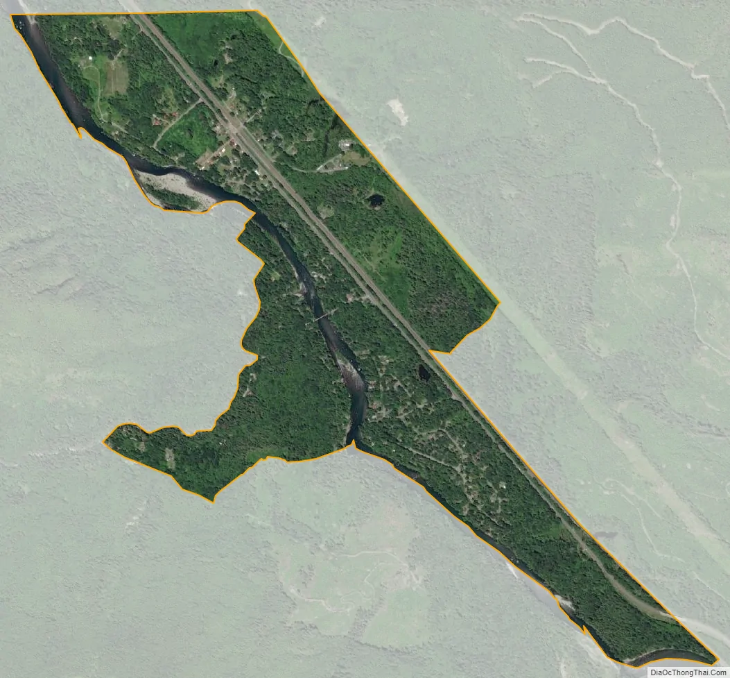
Baring city Satellite Map
Geography
Baring is located in northeastern King County at 47°45′50″N 121°28′34″W / 47.76389°N 121.47611°W / 47.76389; -121.47611 (47.763755, -121.476079) in the valley of the South Fork Skykomish River. US-2 leads southeast 7 miles (11 km) to Skykomish and northwest 41 miles (66 km) to Everett.
According to the United States Census Bureau, the Baring CDP has a total area of 1.1 square miles (2.9 km), of which 1.0 square mile (2.7 km) is land and 0.1 square miles (0.2 km), or 8.02%, is water.
See also
Map of Washington State and its subdivision:- Adams
- Asotin
- Benton
- Chelan
- Clallam
- Clark
- Columbia
- Cowlitz
- Douglas
- Ferry
- Franklin
- Garfield
- Grant
- Grays Harbor
- Island
- Jefferson
- King
- Kitsap
- Kittitas
- Klickitat
- Lewis
- Lincoln
- Mason
- Okanogan
- Pacific
- Pend Oreille
- Pierce
- San Juan
- Skagit
- Skamania
- Snohomish
- Spokane
- Stevens
- Thurston
- Wahkiakum
- Walla Walla
- Whatcom
- Whitman
- Yakima
- Alabama
- Alaska
- Arizona
- Arkansas
- California
- Colorado
- Connecticut
- Delaware
- District of Columbia
- Florida
- Georgia
- Hawaii
- Idaho
- Illinois
- Indiana
- Iowa
- Kansas
- Kentucky
- Louisiana
- Maine
- Maryland
- Massachusetts
- Michigan
- Minnesota
- Mississippi
- Missouri
- Montana
- Nebraska
- Nevada
- New Hampshire
- New Jersey
- New Mexico
- New York
- North Carolina
- North Dakota
- Ohio
- Oklahoma
- Oregon
- Pennsylvania
- Rhode Island
- South Carolina
- South Dakota
- Tennessee
- Texas
- Utah
- Vermont
- Virginia
- Washington
- West Virginia
- Wisconsin
- Wyoming


